
St Peter, NorthamptonClick on a photo for a large version. |
Marefair NN1 1SR
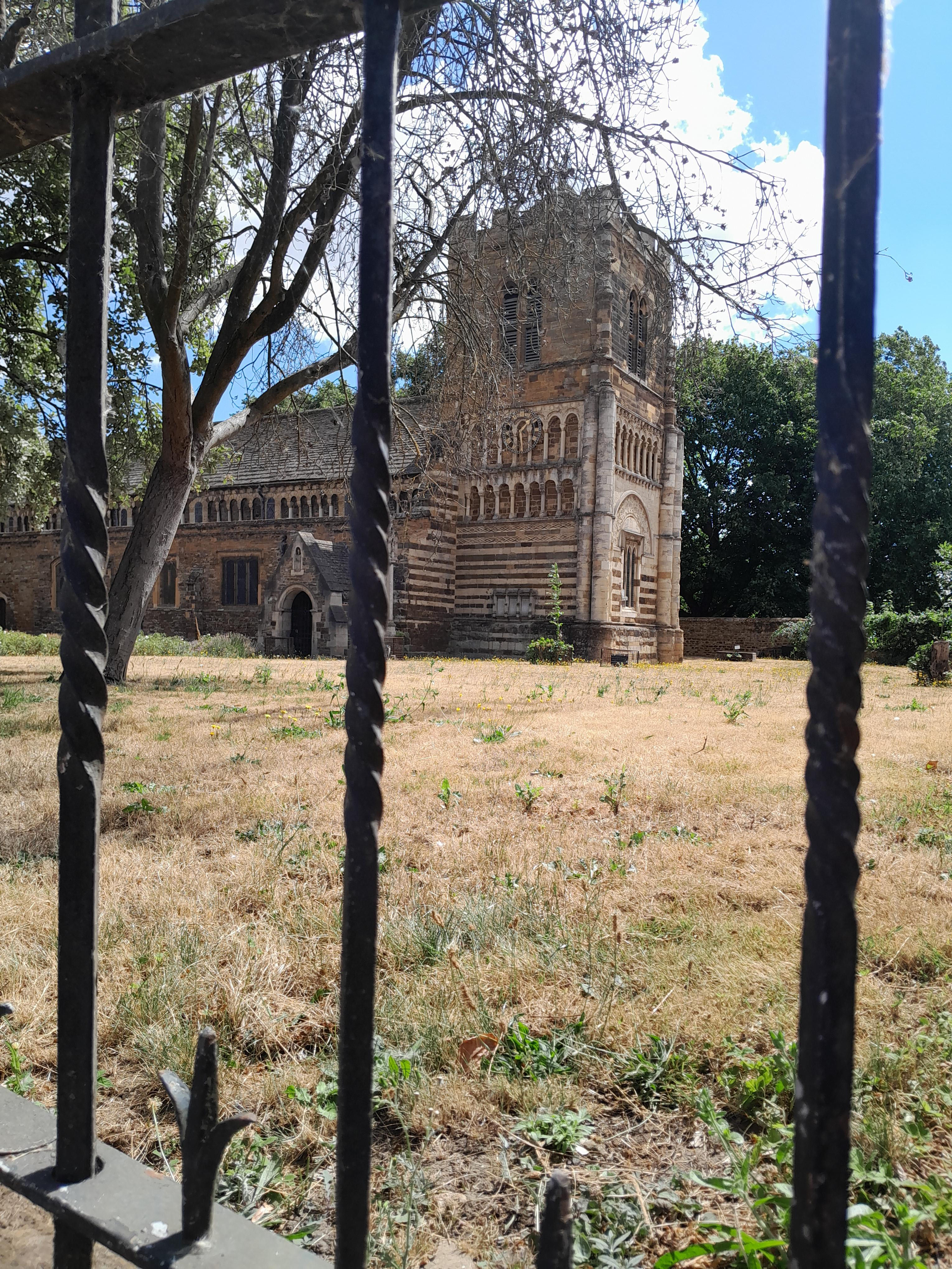
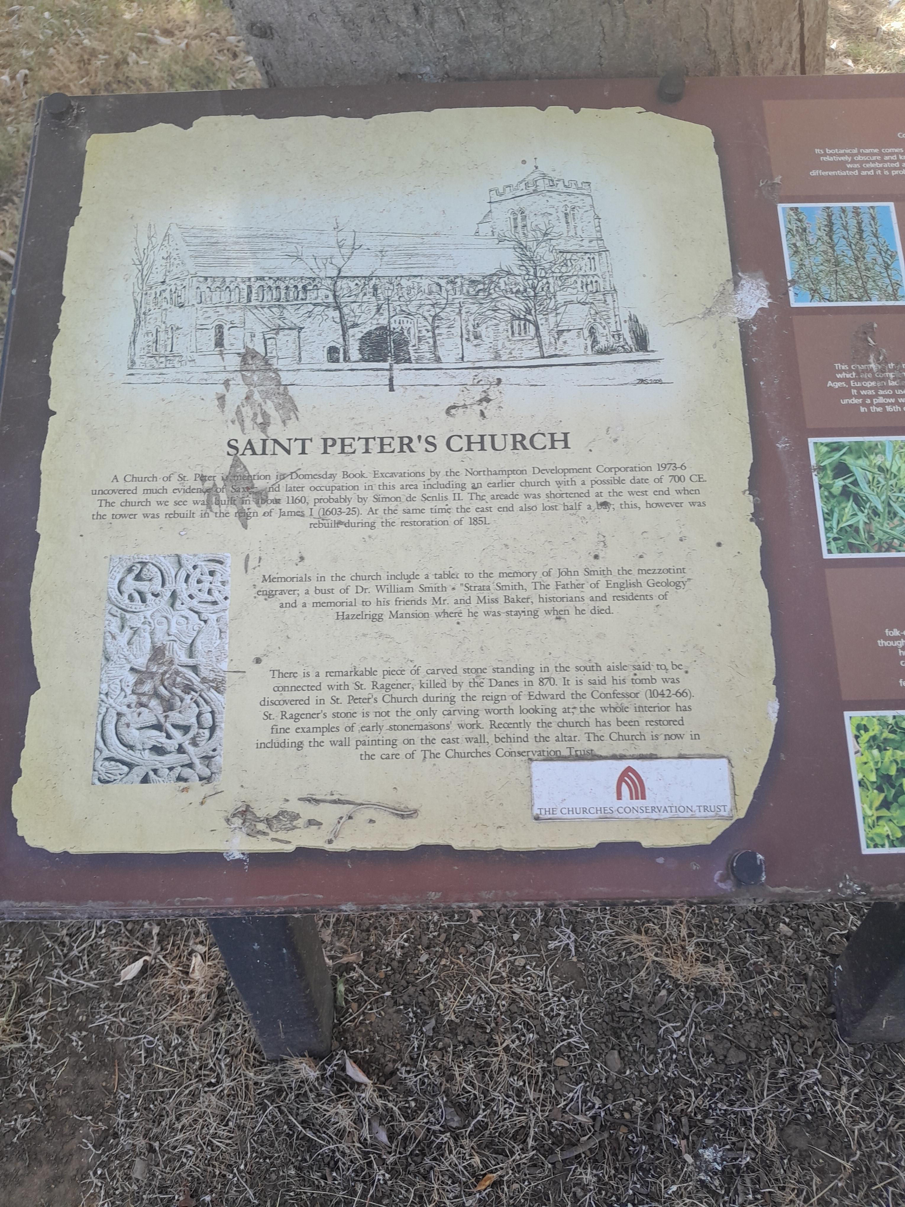
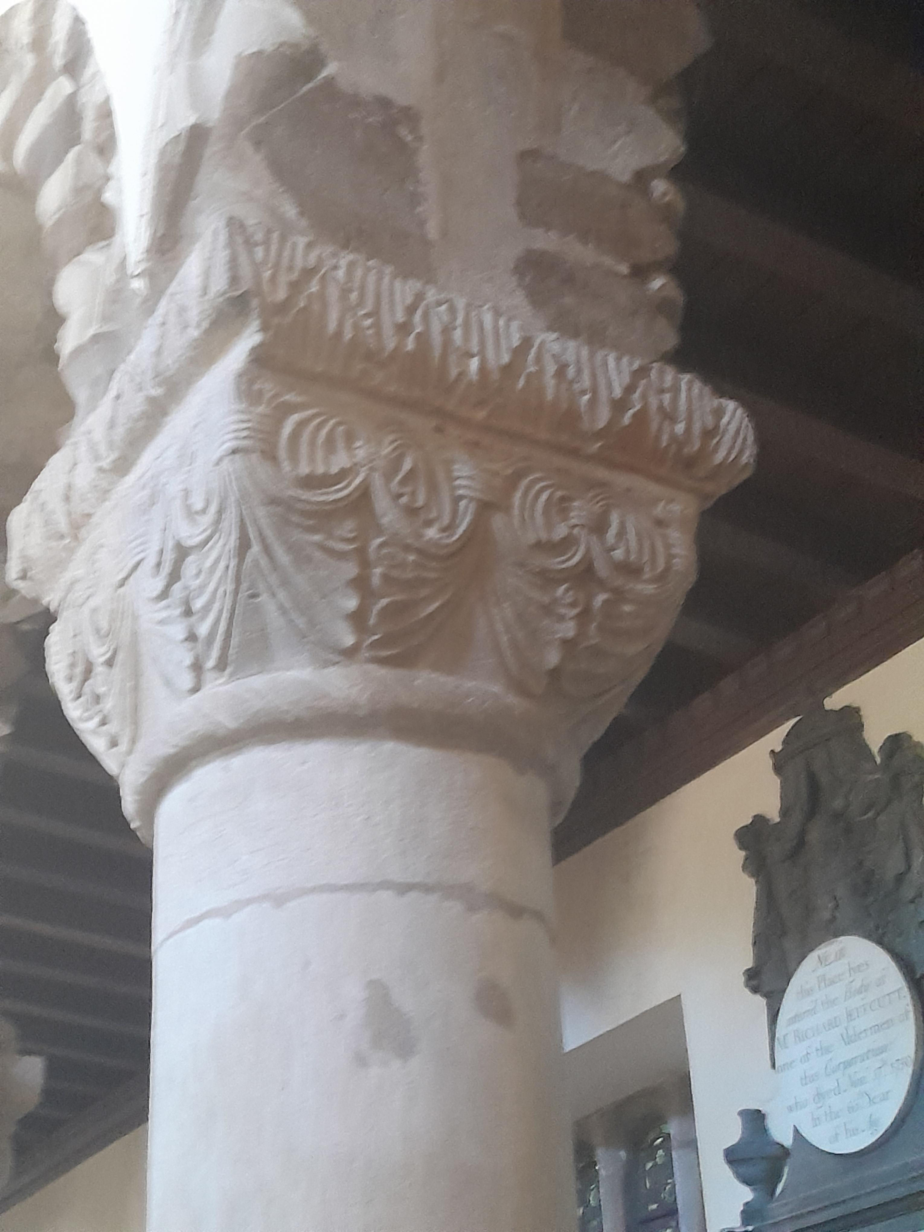
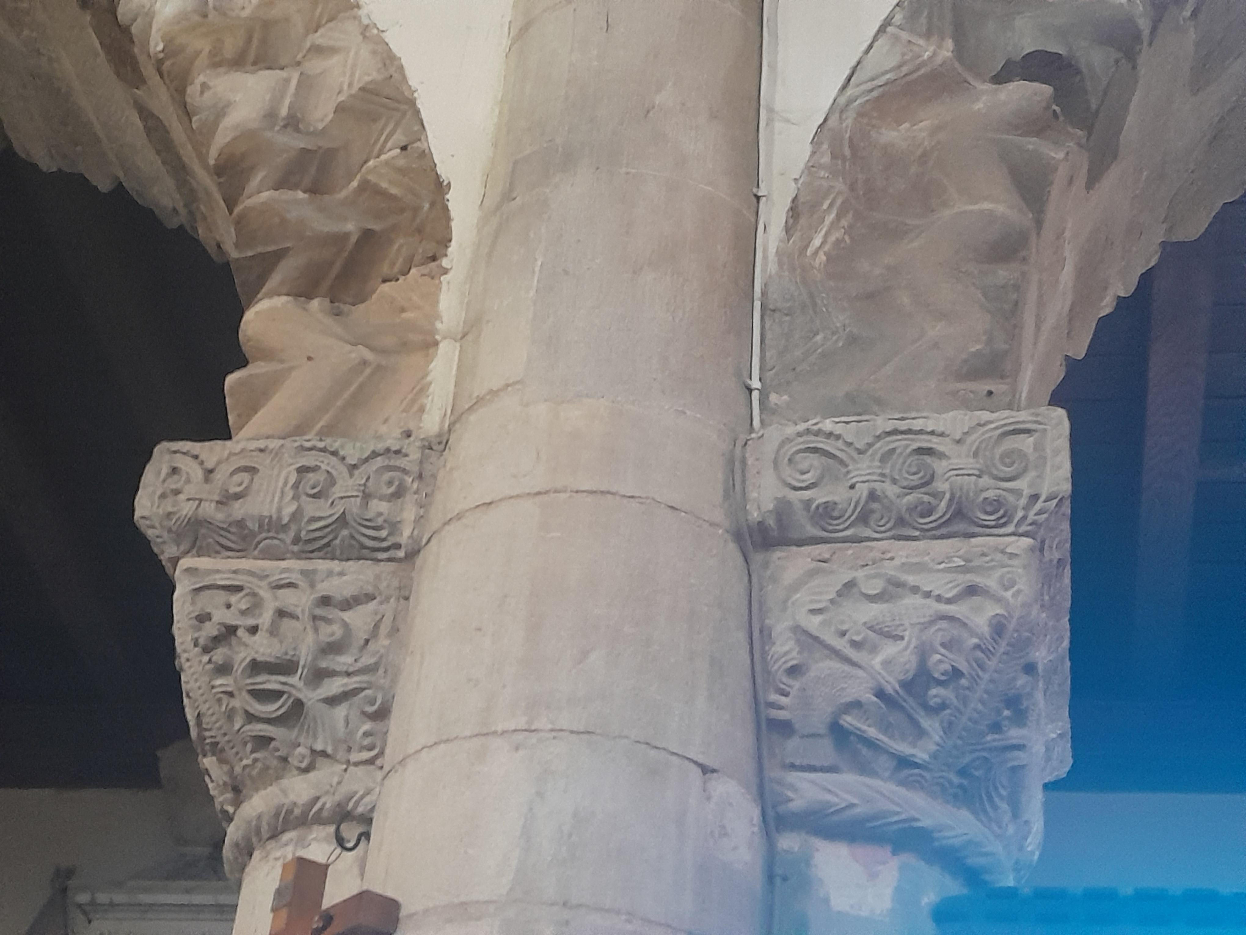
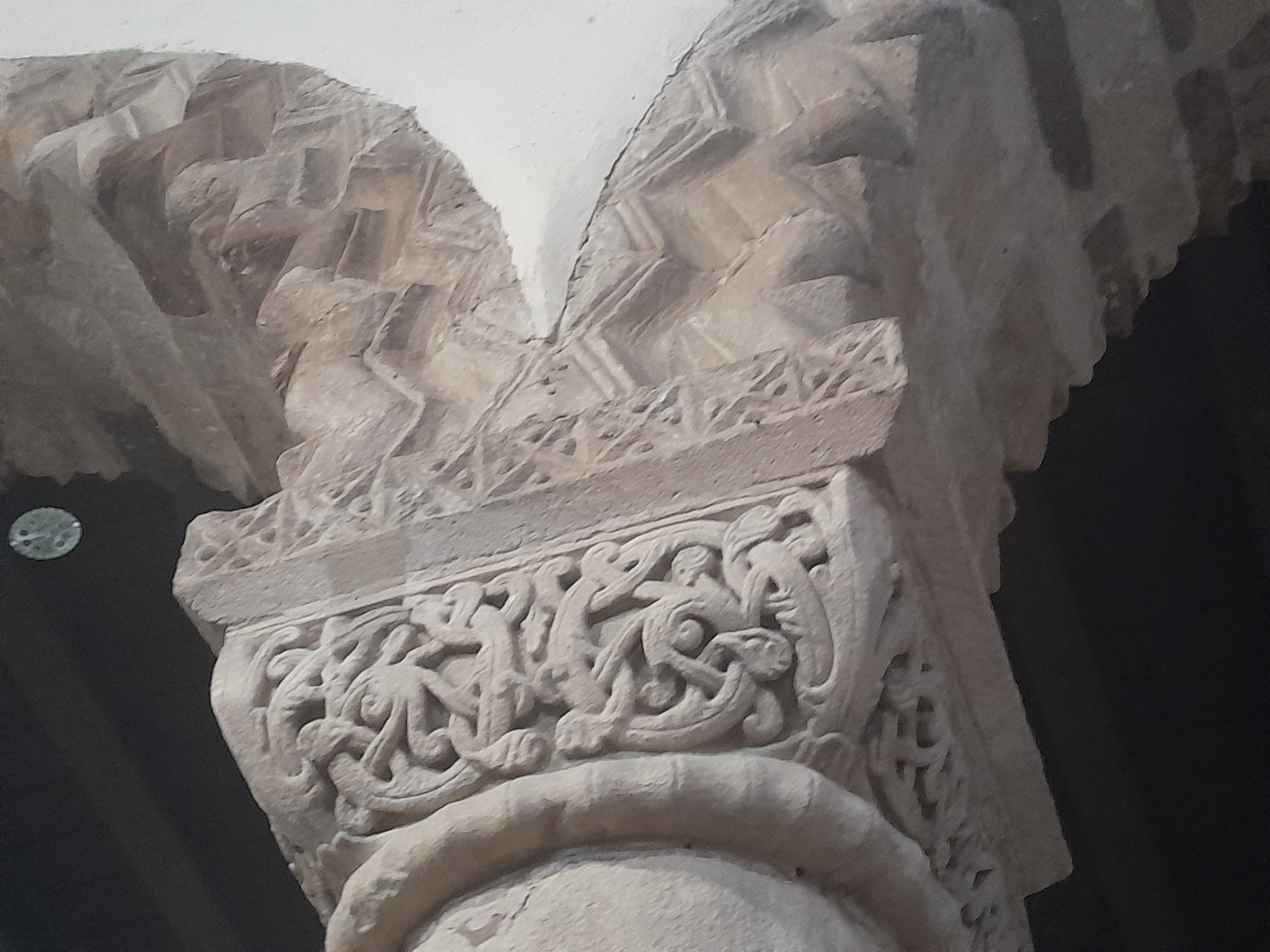
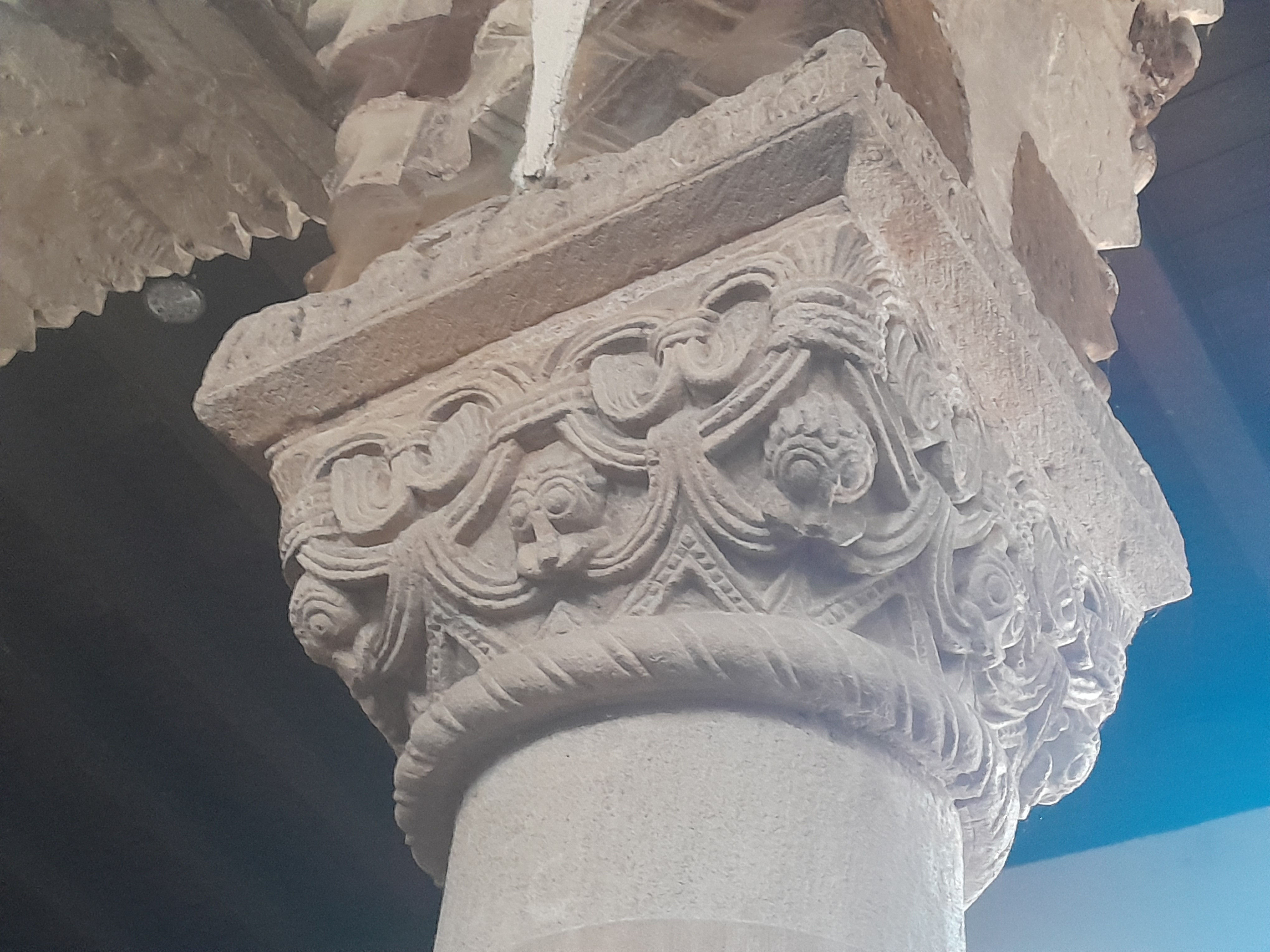
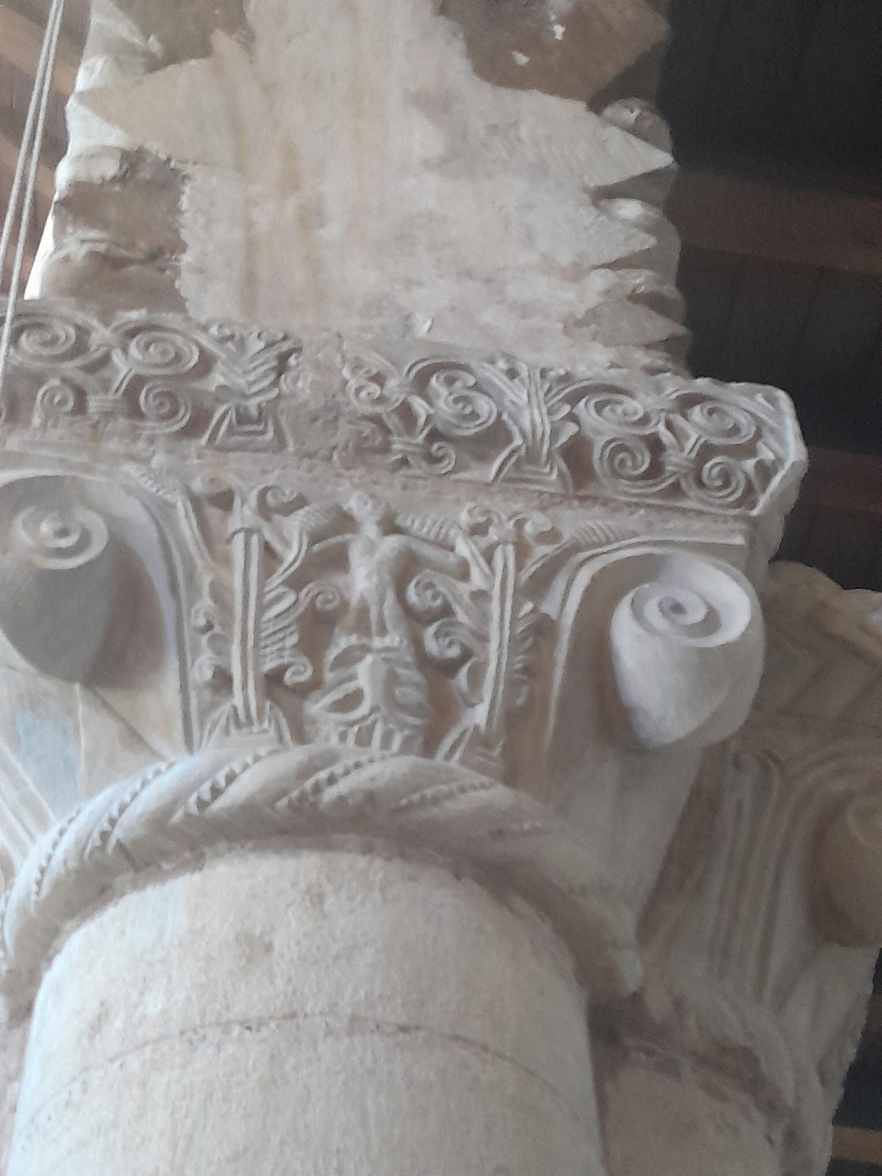
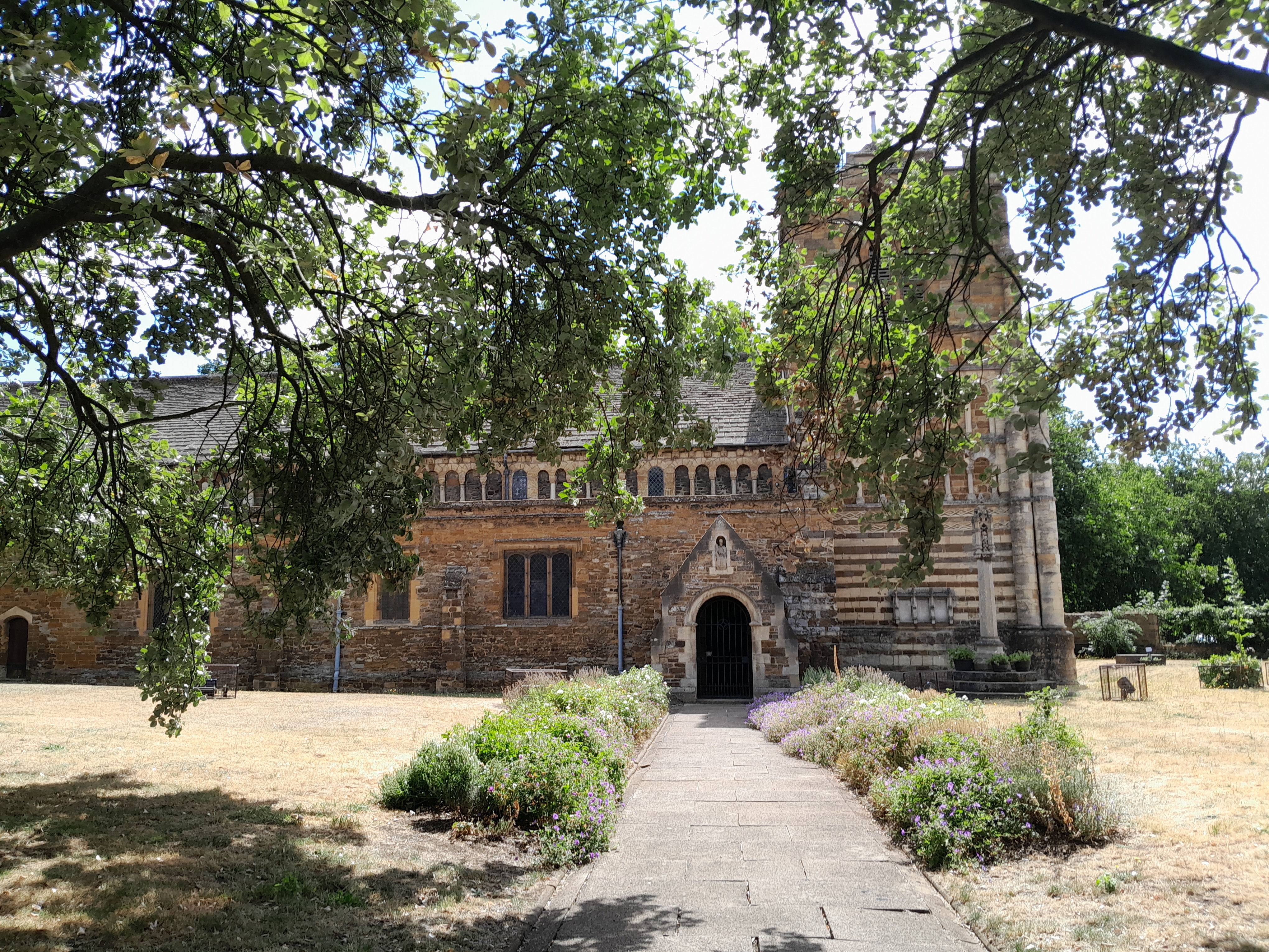
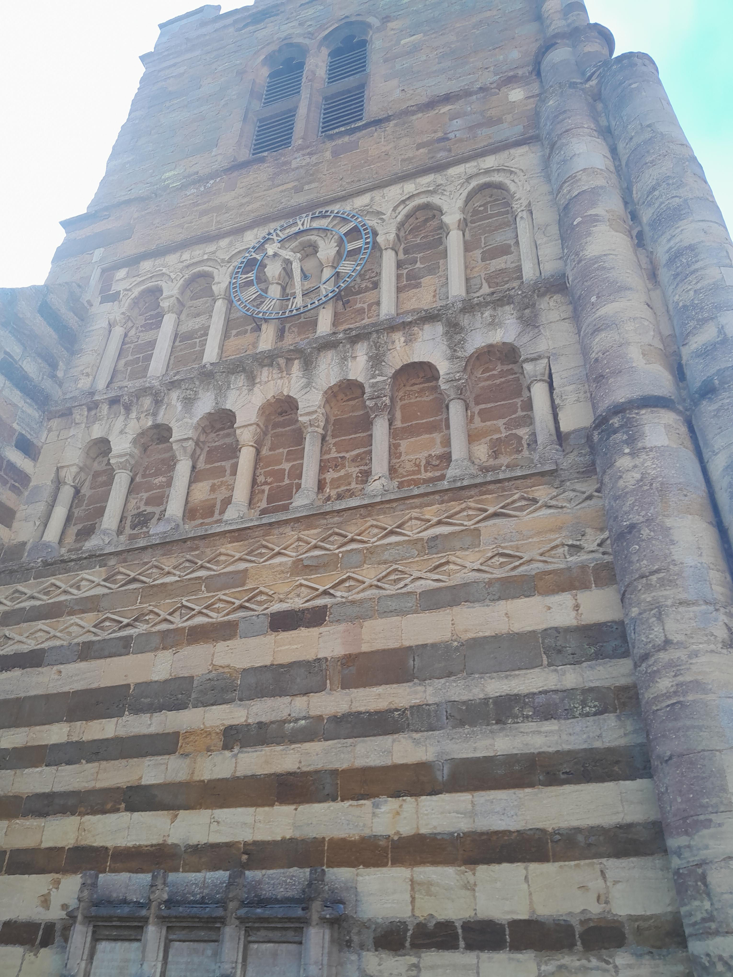
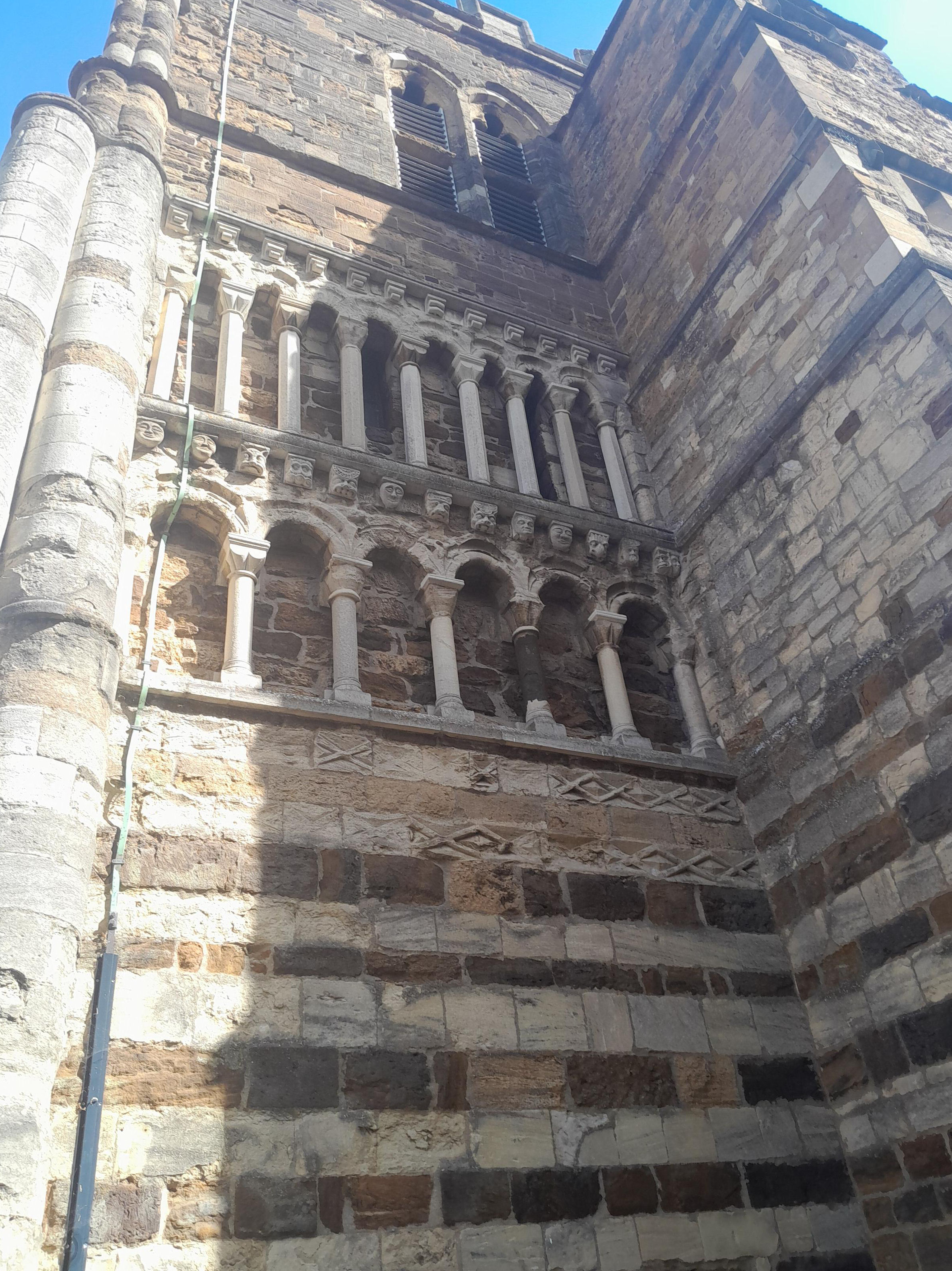
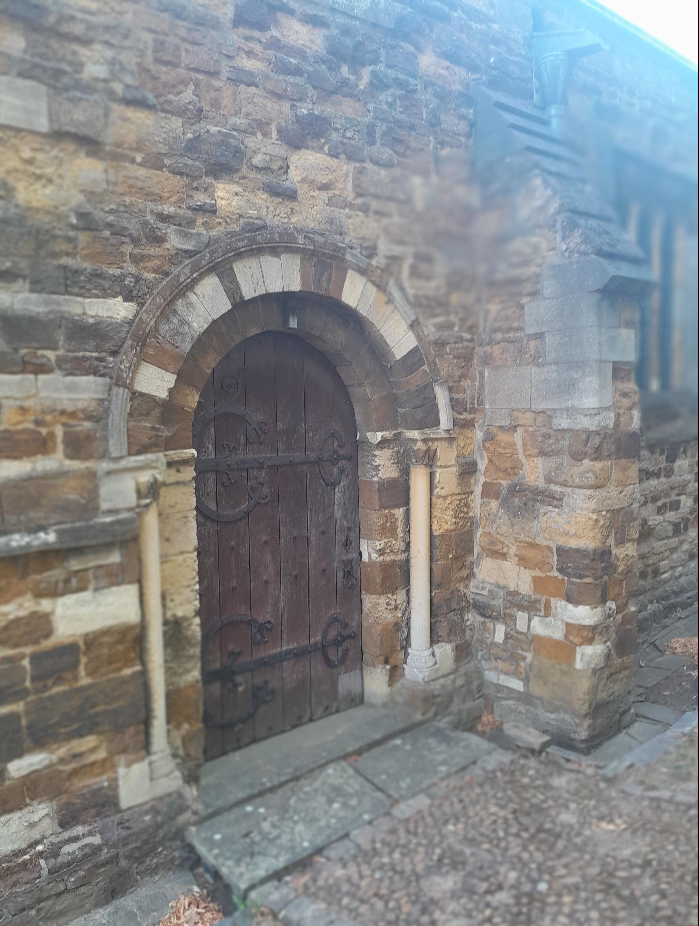
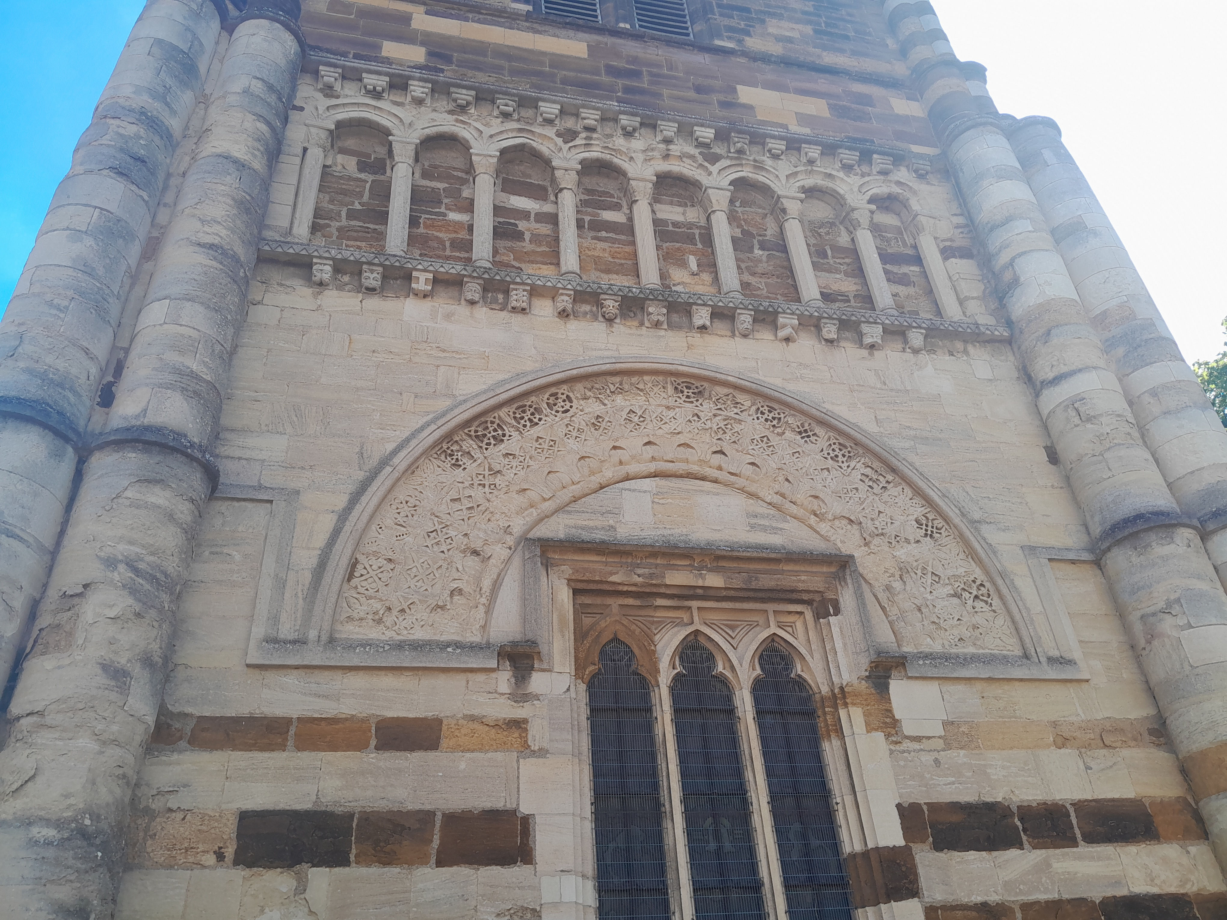
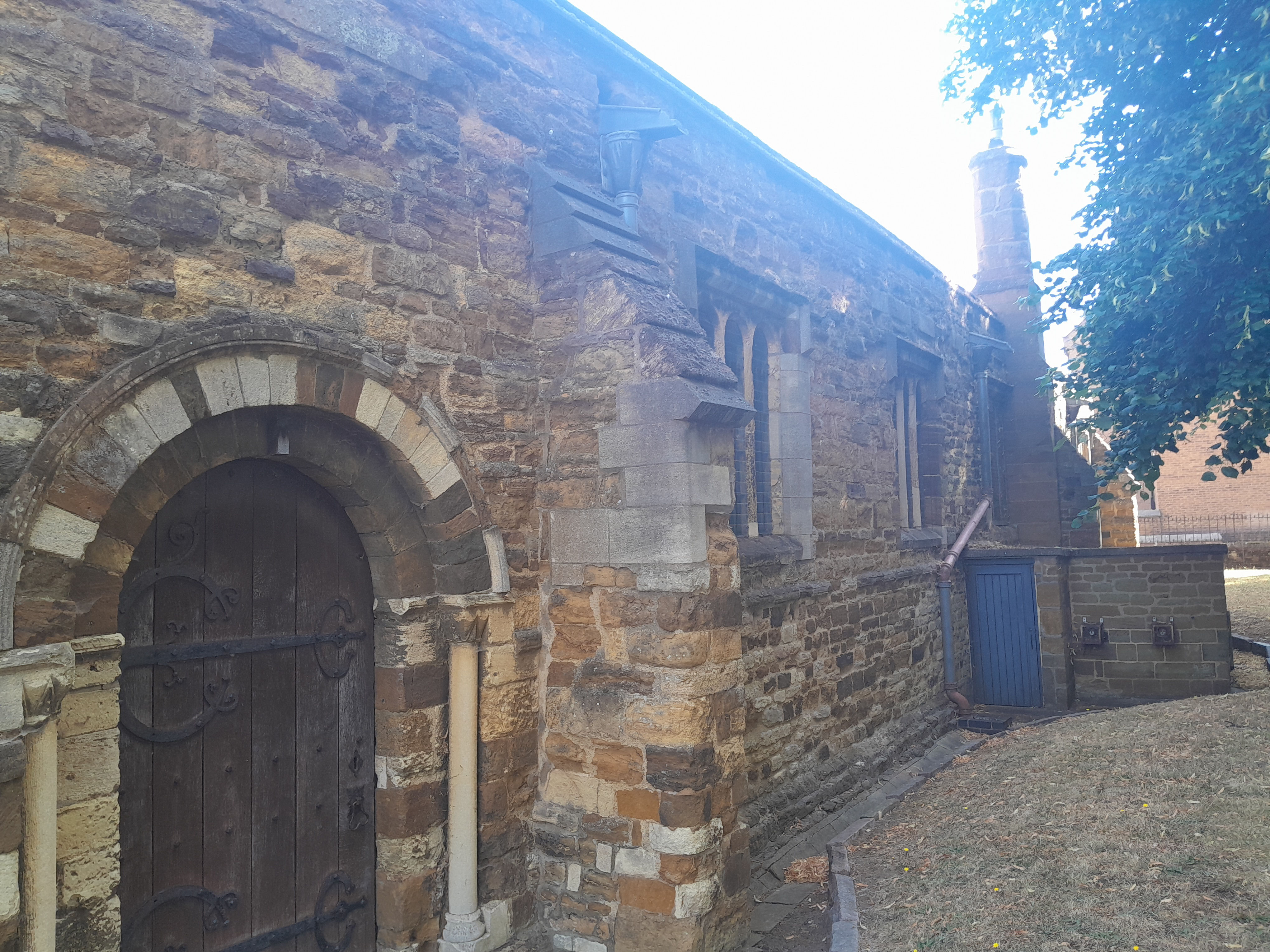
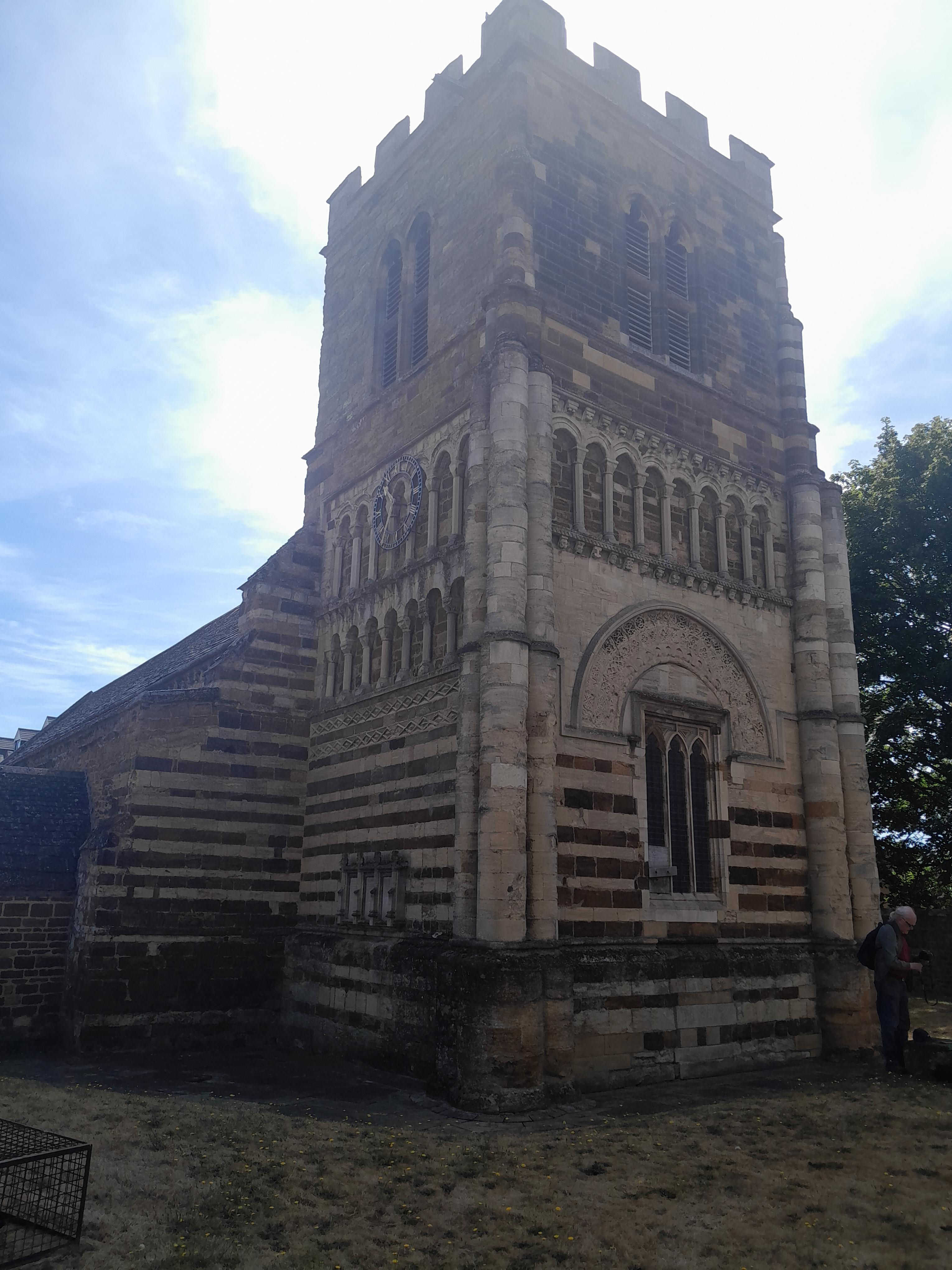
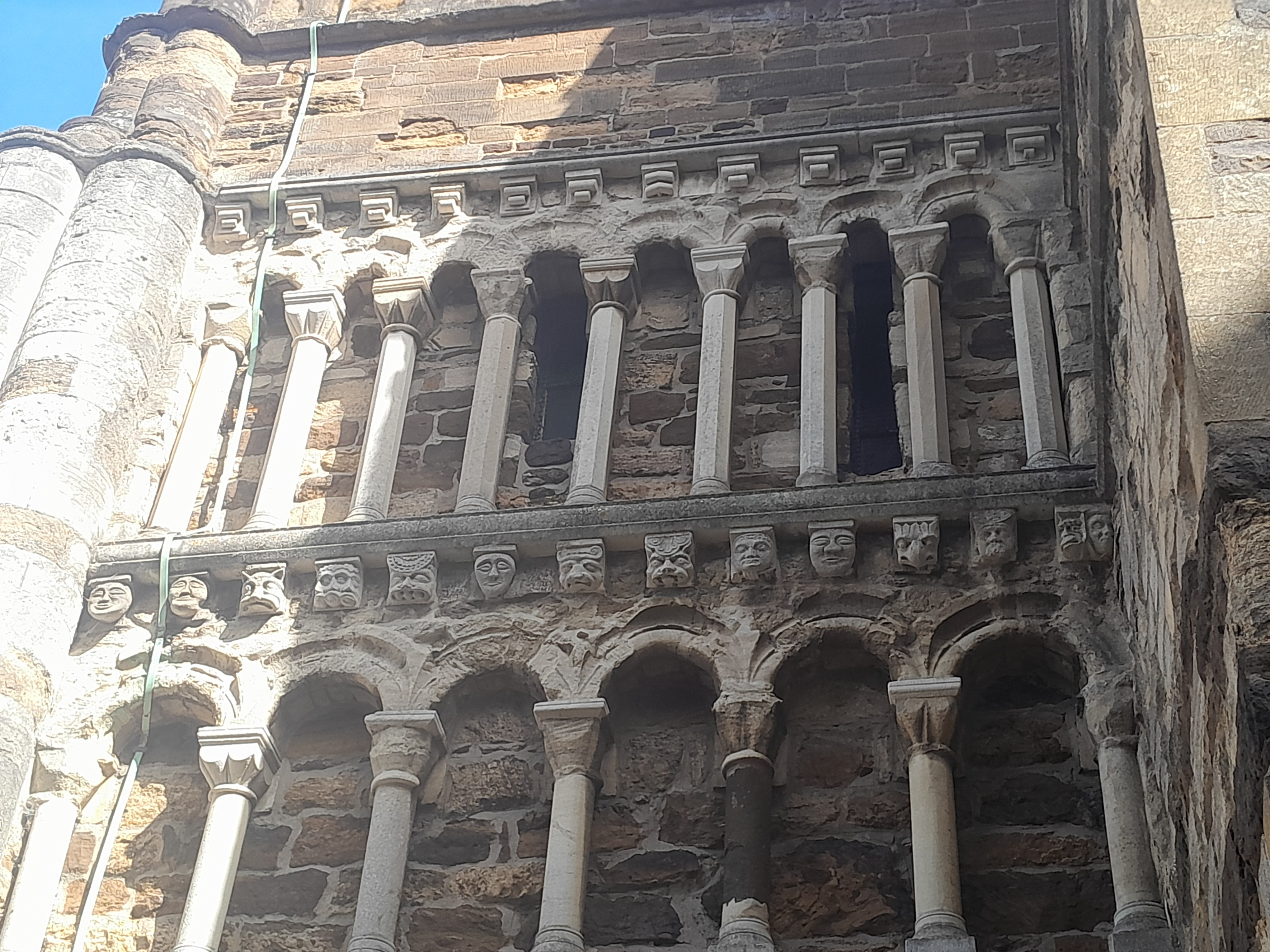
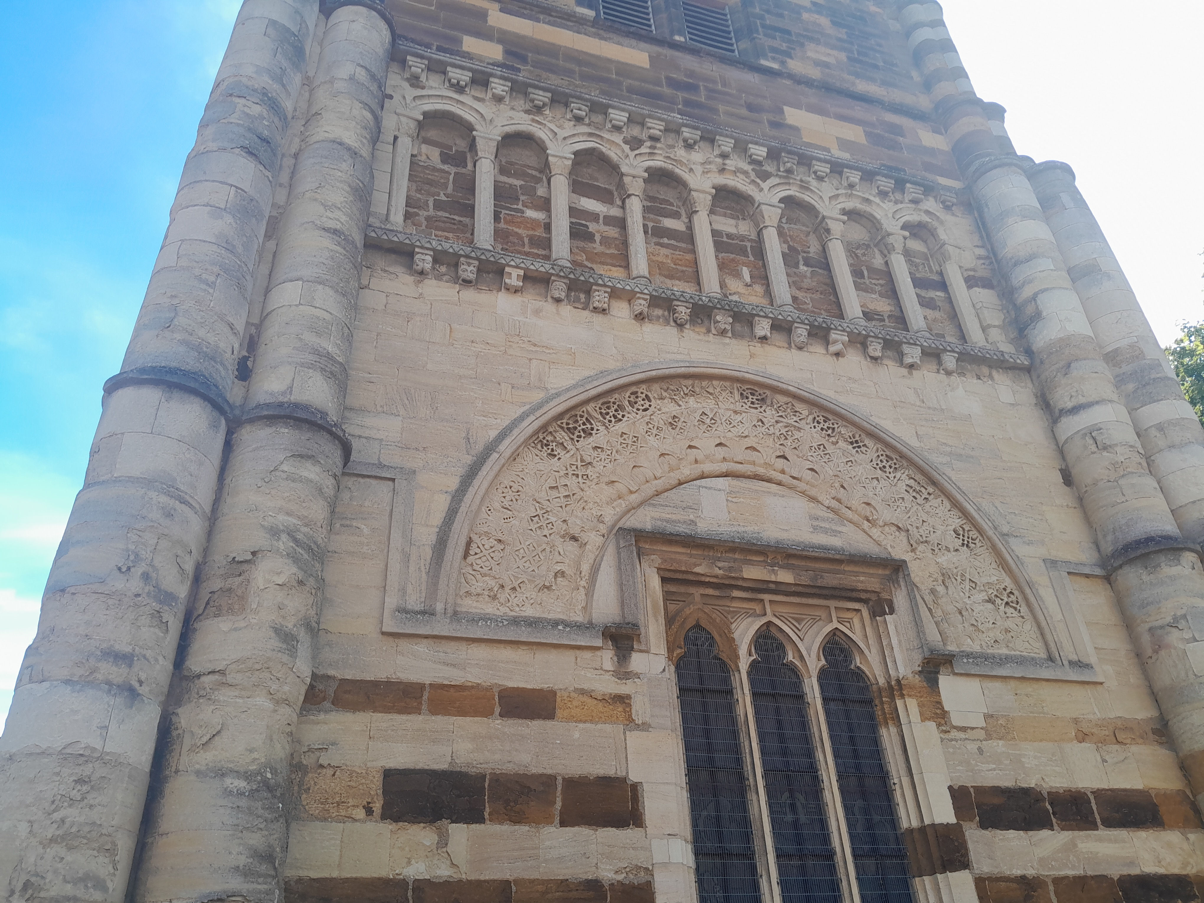
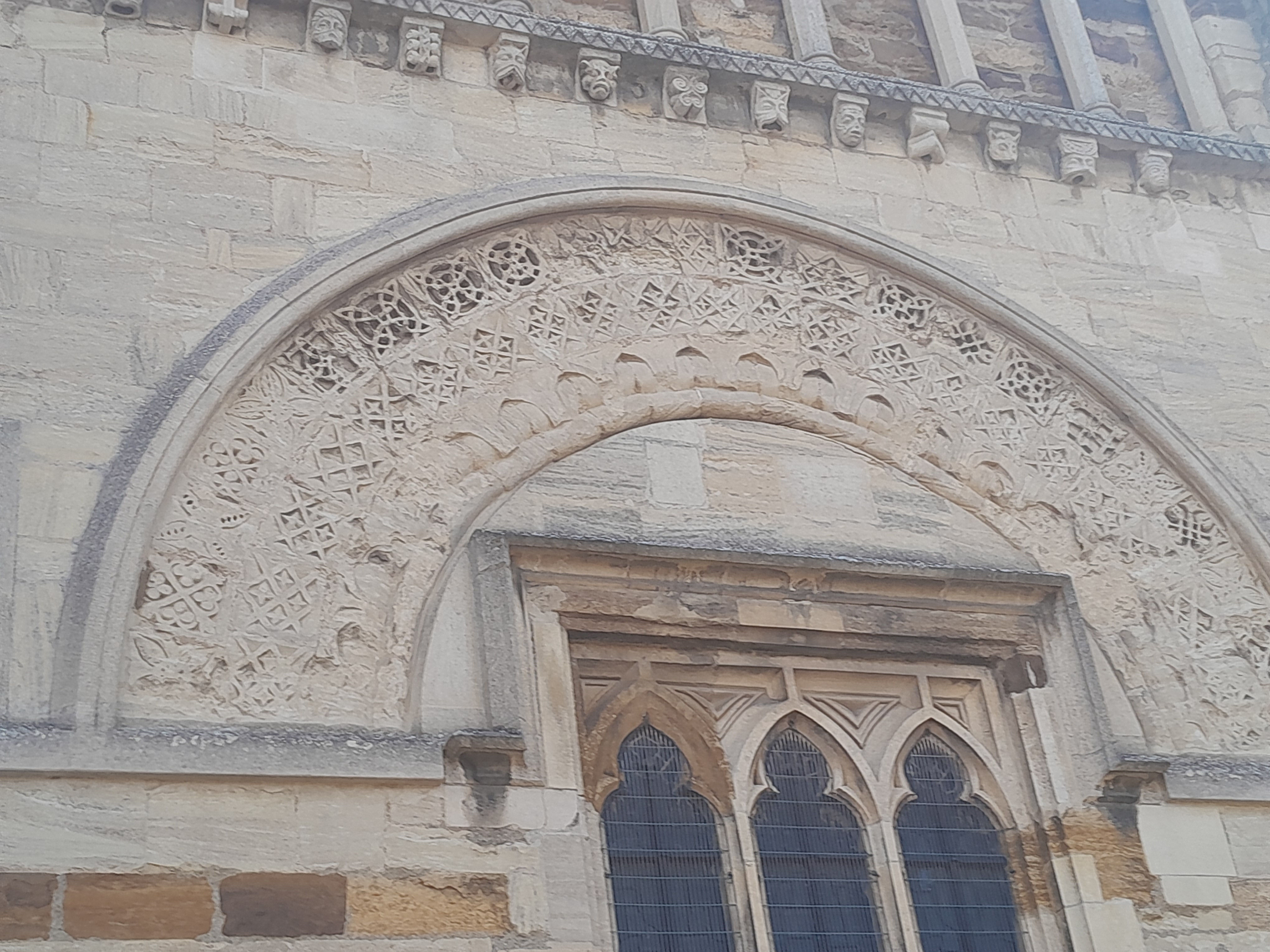
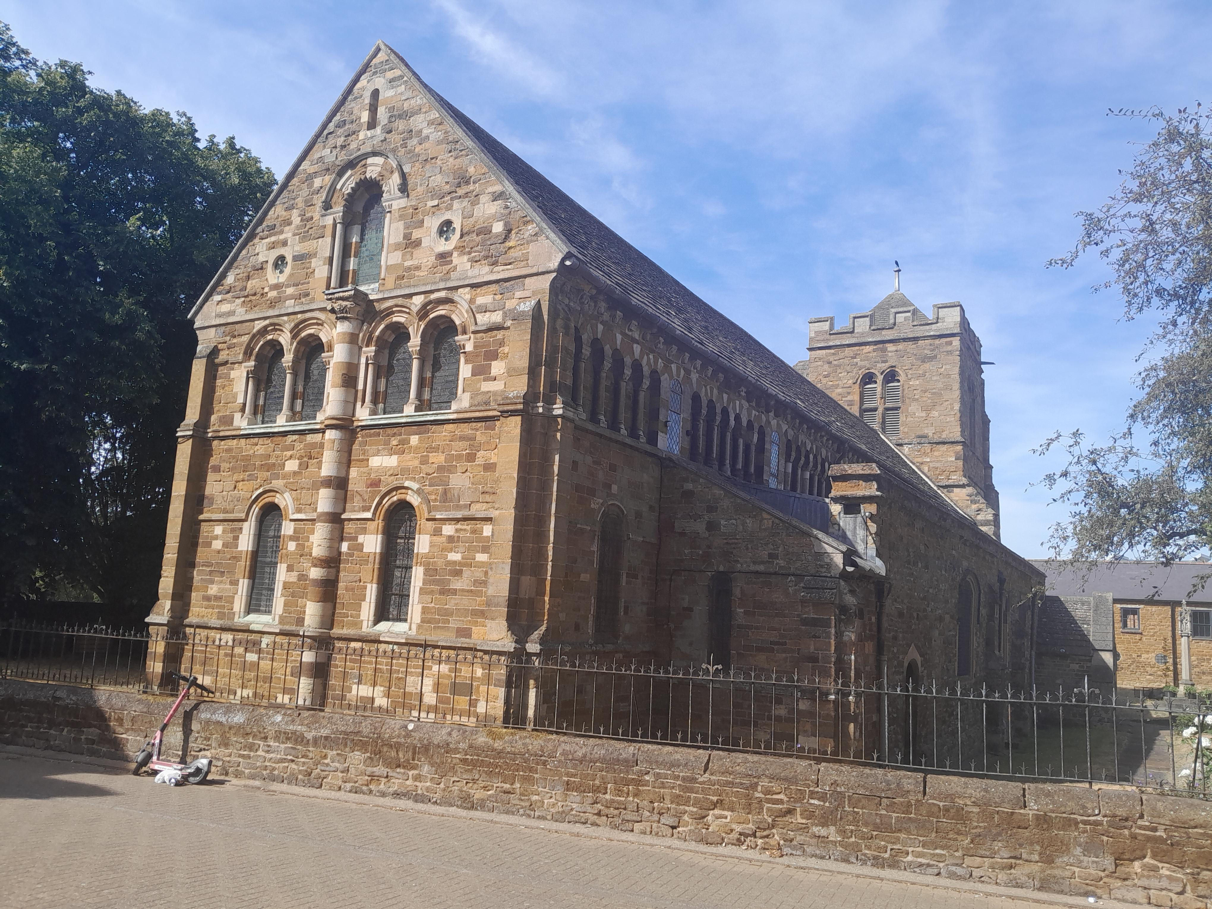
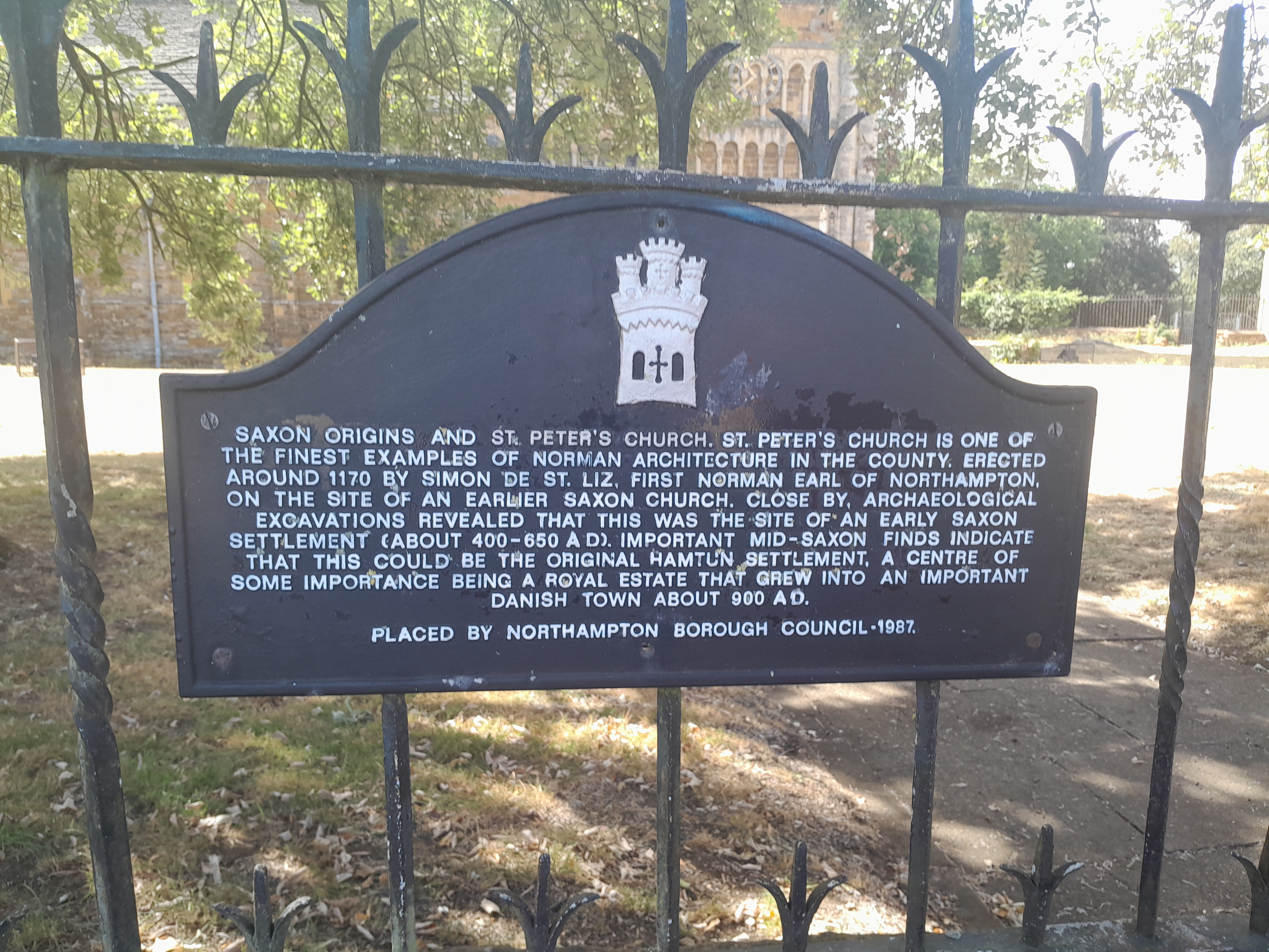
St Peter's Church is a redundant parish church in Marefair, Northampton, England. It is recorded in the National Heritage List for England as a designated Grade I listed building, and is under the care of the Churches Conservation Trust. It is considered to be "the most outstanding Norman church in the county" (Northamptonshire), and "its capital sculpture is one of the highlights of the Romanesque in England". Alec Clifton-Taylor includes the church in his list of 'best' English parish churches.
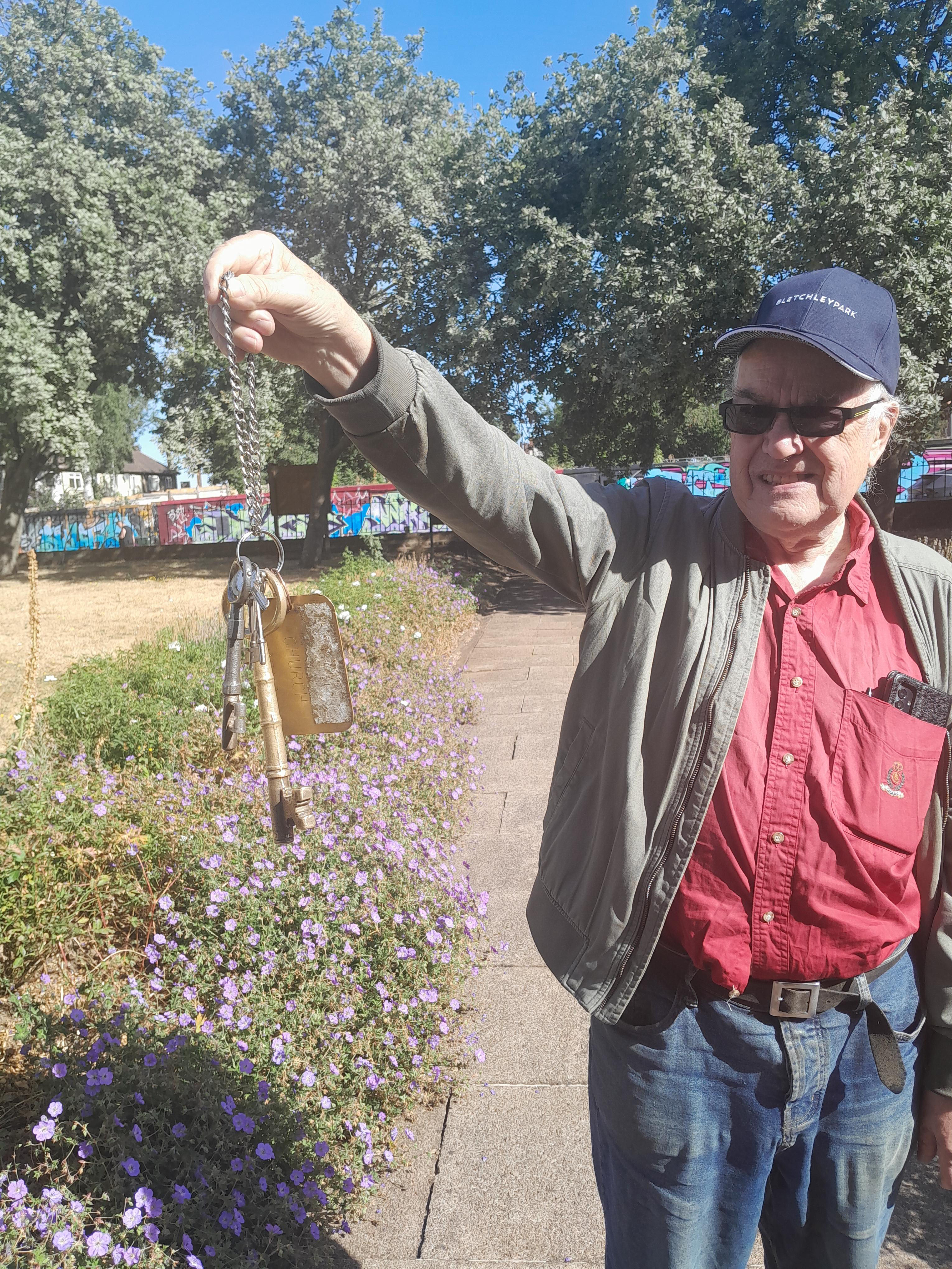
The church and churchyard are usually closed. You have to contact the friends of St Peters to arrange a visit. They were very efficient! The keys were left with a local hotel. In fact the hotel gave us the contructors' keys not the visitors'. This was an impressive bunch of keys, and unlabelled! But we got in OK.
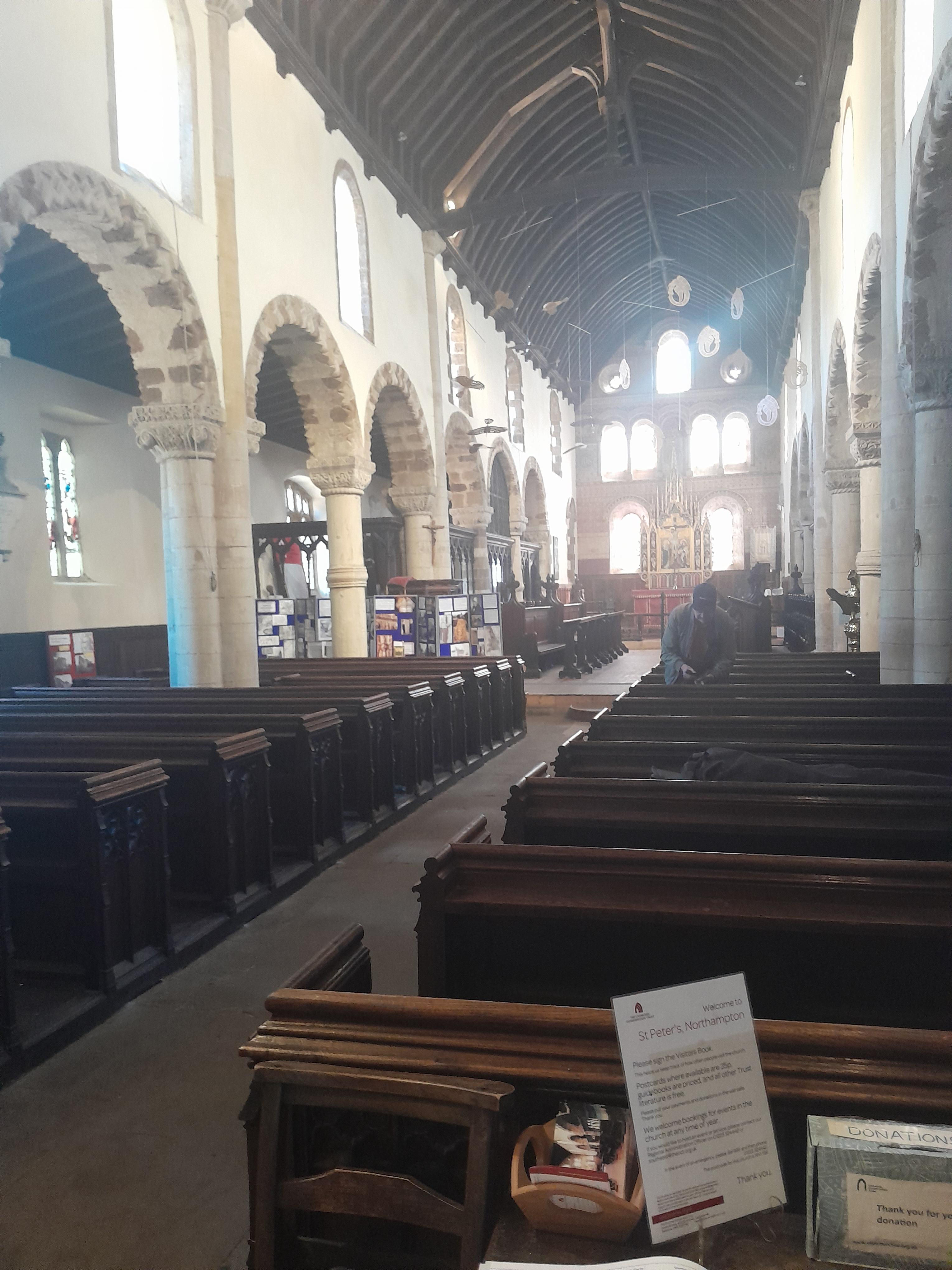
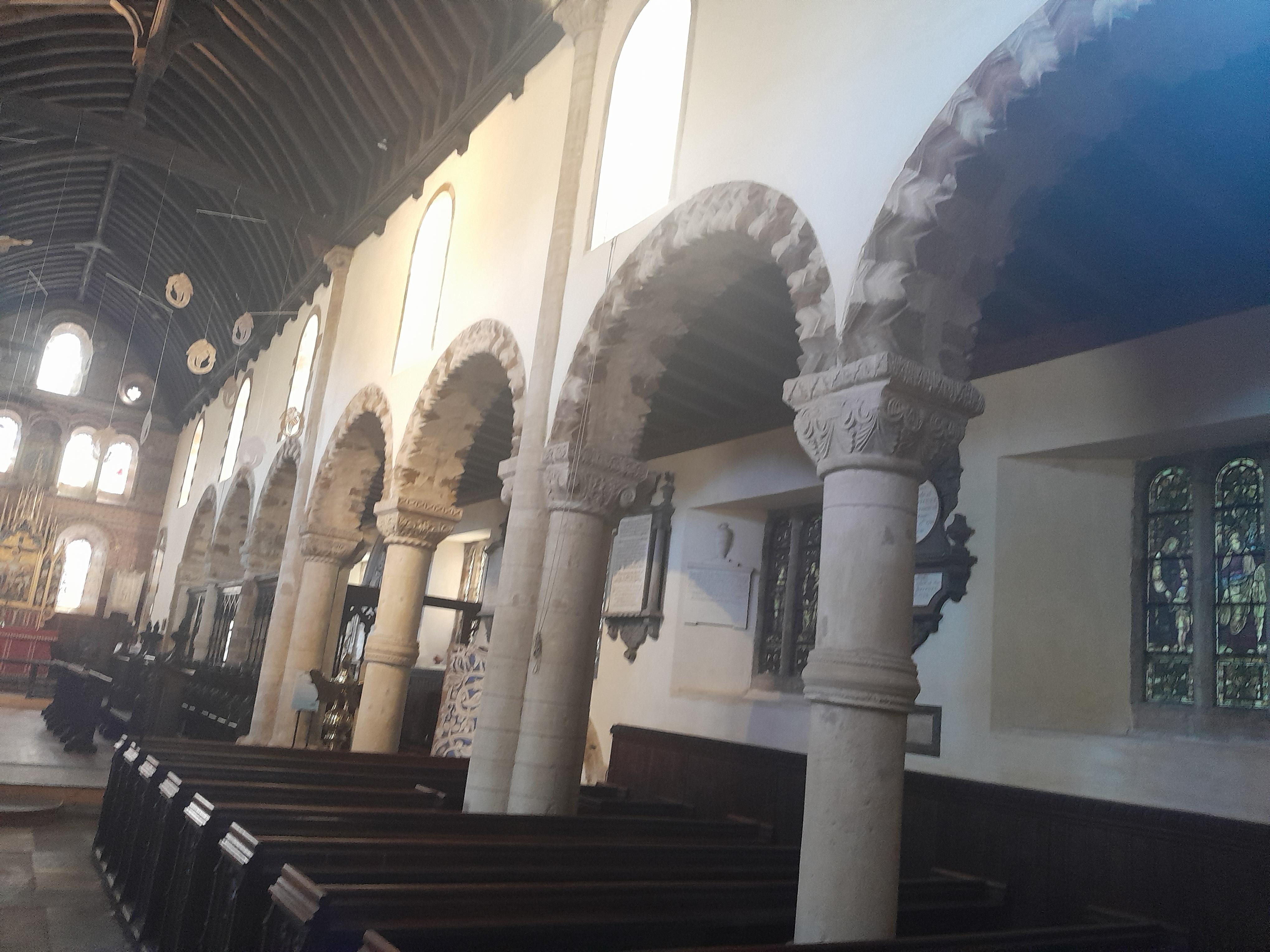
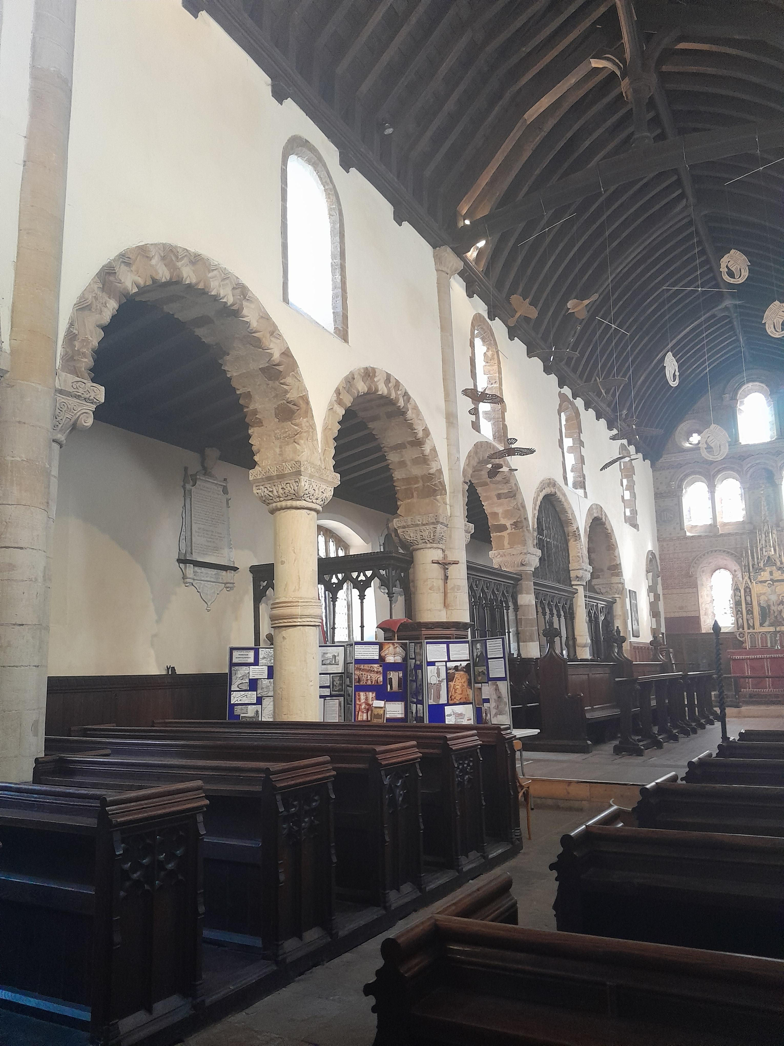
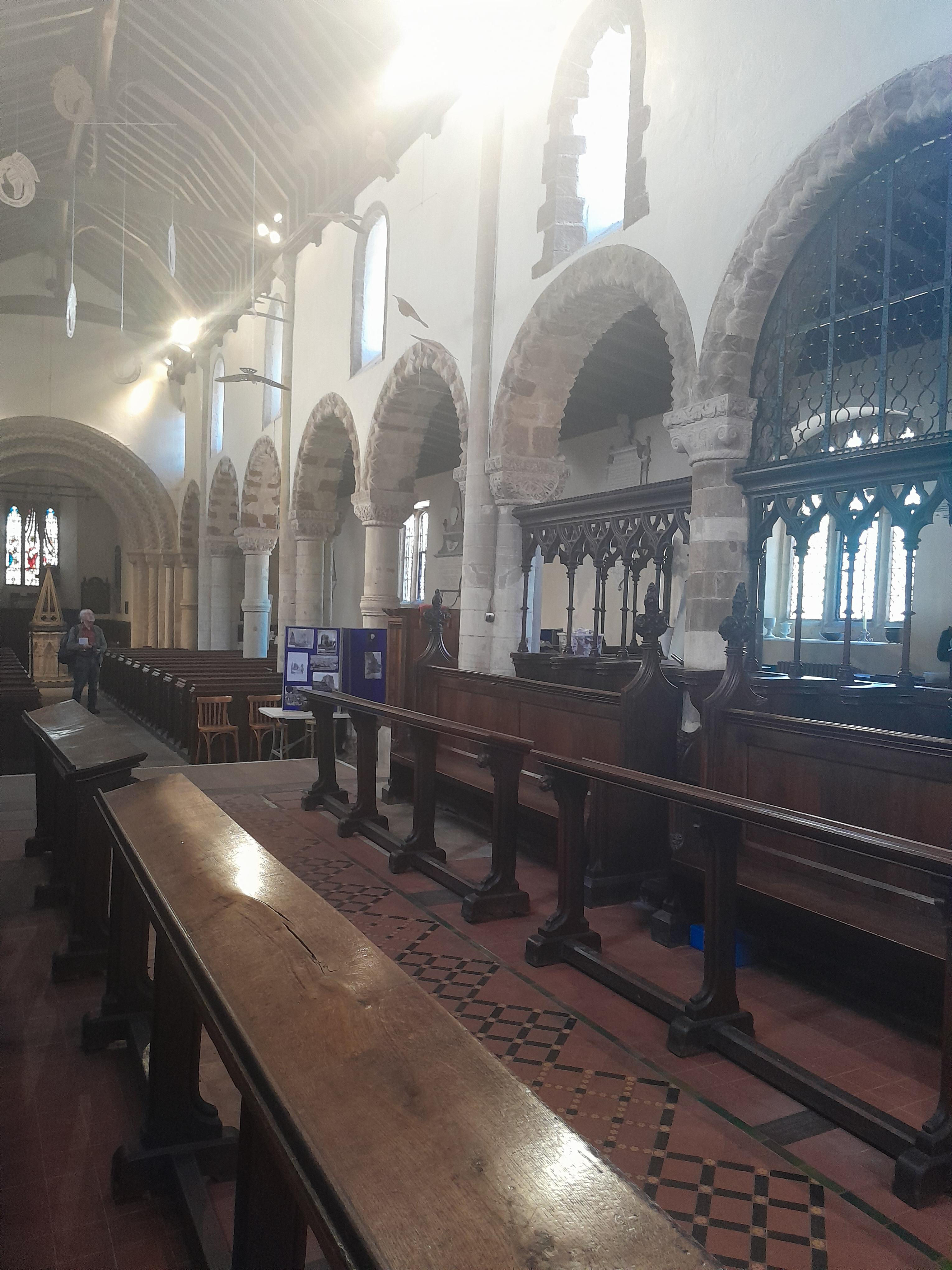
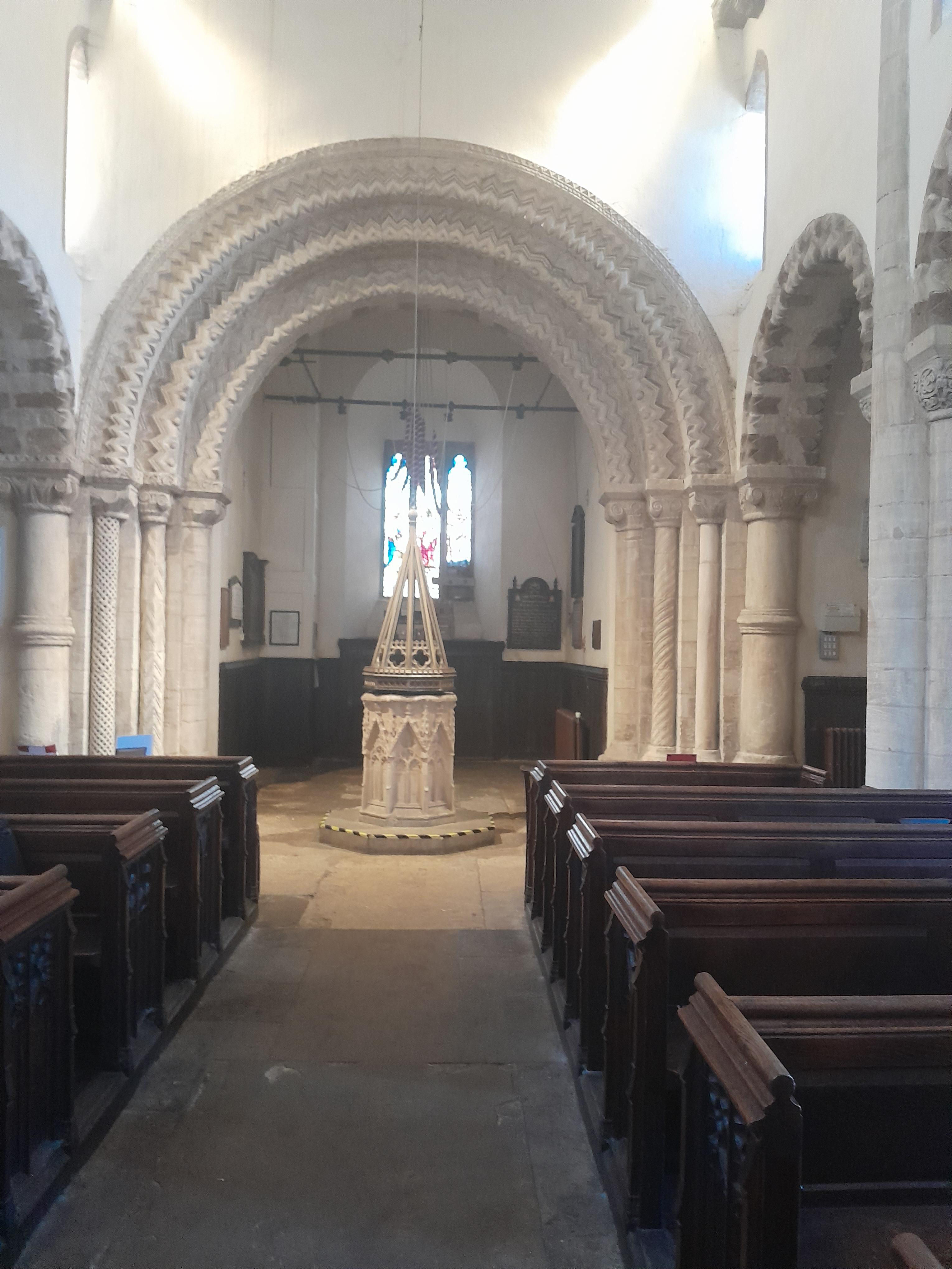
Inside the church. The first three are looking east (there is no chancel arch). The third is looking west.
The west end of the church. This was repaired by the Victorians. They got some of the chevrons the wrong way round!
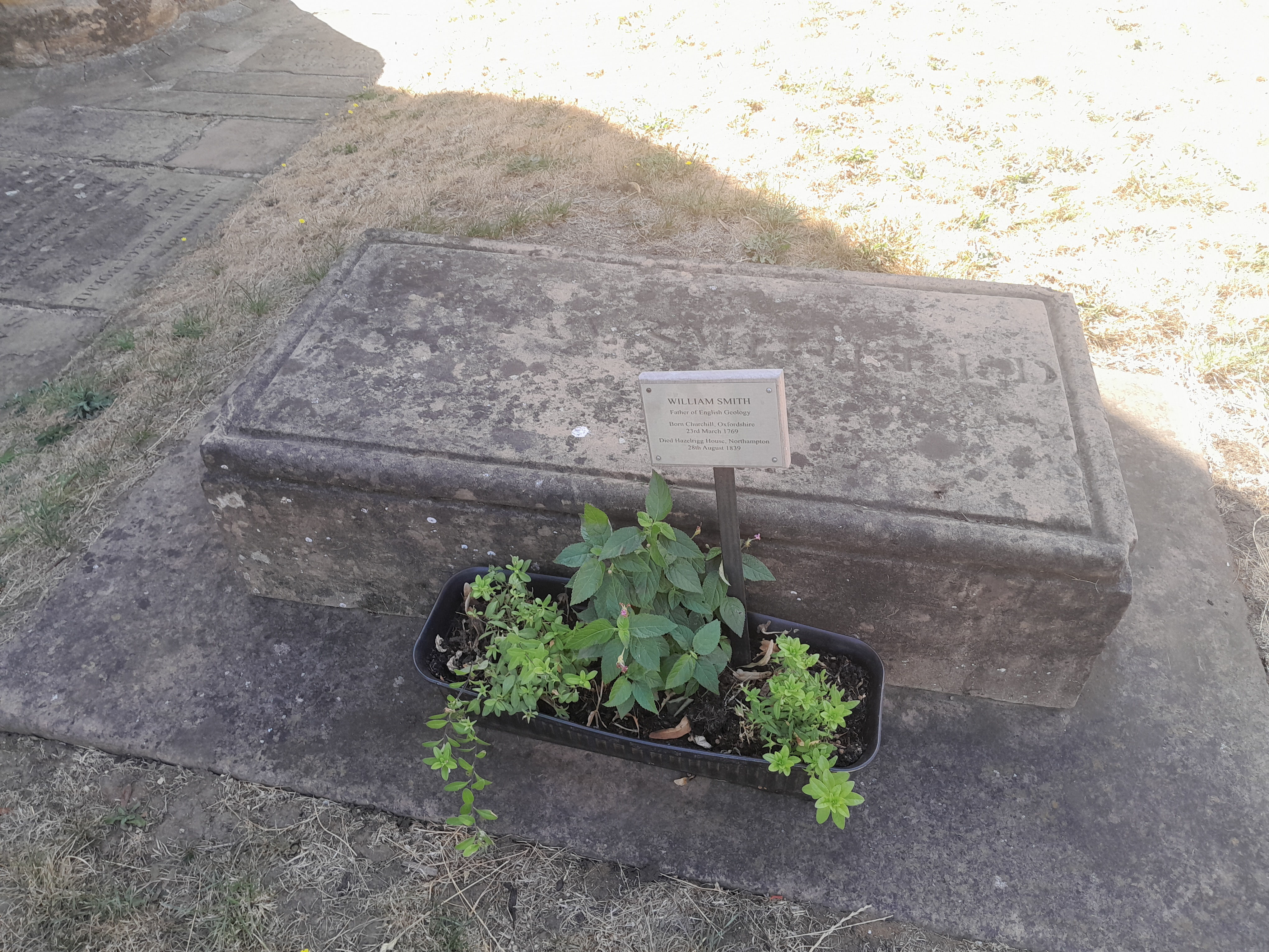
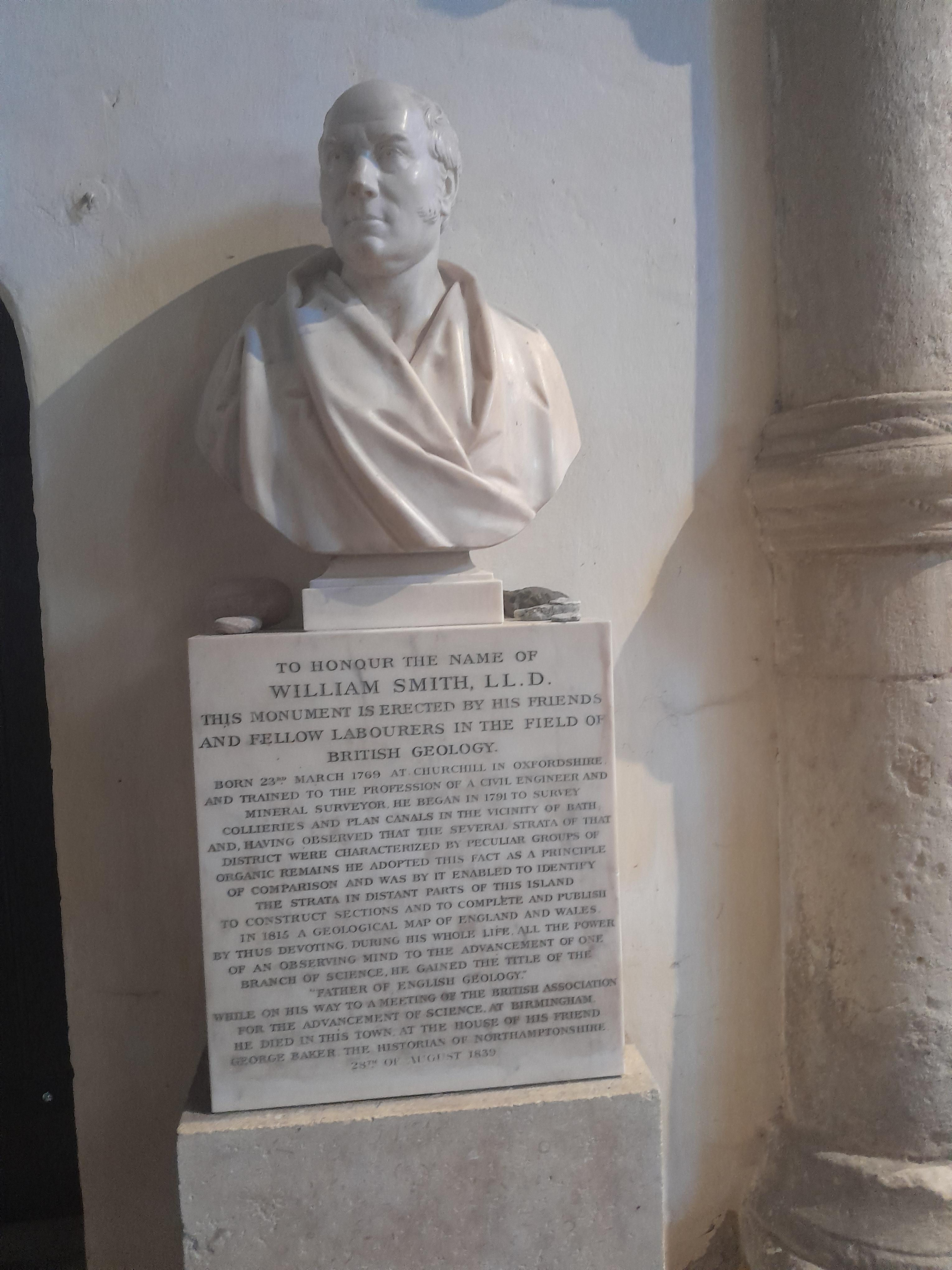
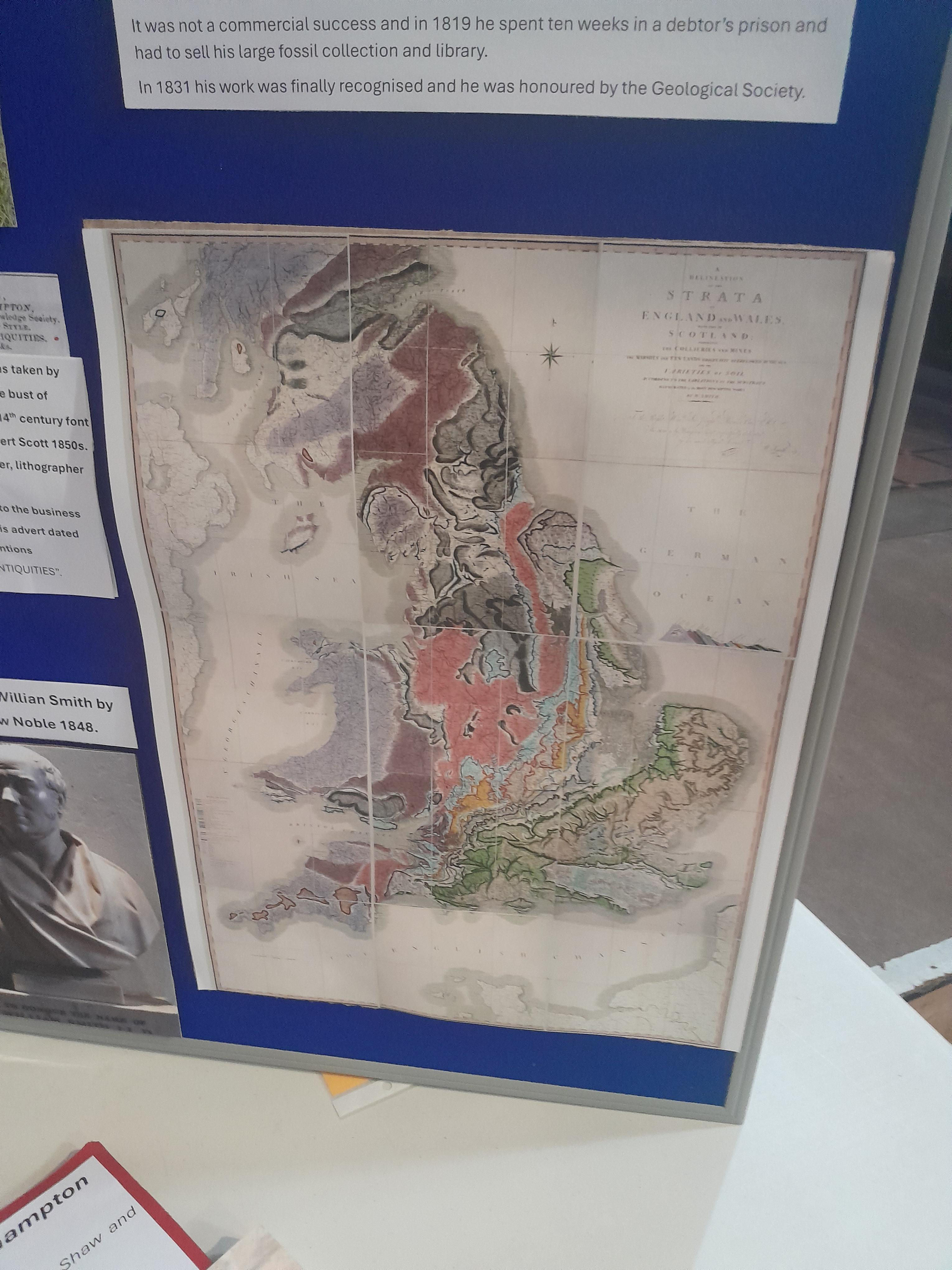
William Smith is buried in the churchyard here, just to the east of the tower, and has a memorial inside the church. William 'Strata' Smith (1769-1839) was an English geologist, credited with creating the first detailed, nationwide geological map of any country. In 1801, he drew a rough sketch of what would become the first geological map of most of Great Britain. At the time his map was first published he was overlooked by the scientific community, but eventually he became known as the "father of English geology". St Peters church is proud of William Smith, and there is a display inside the church, including a copy of his map.
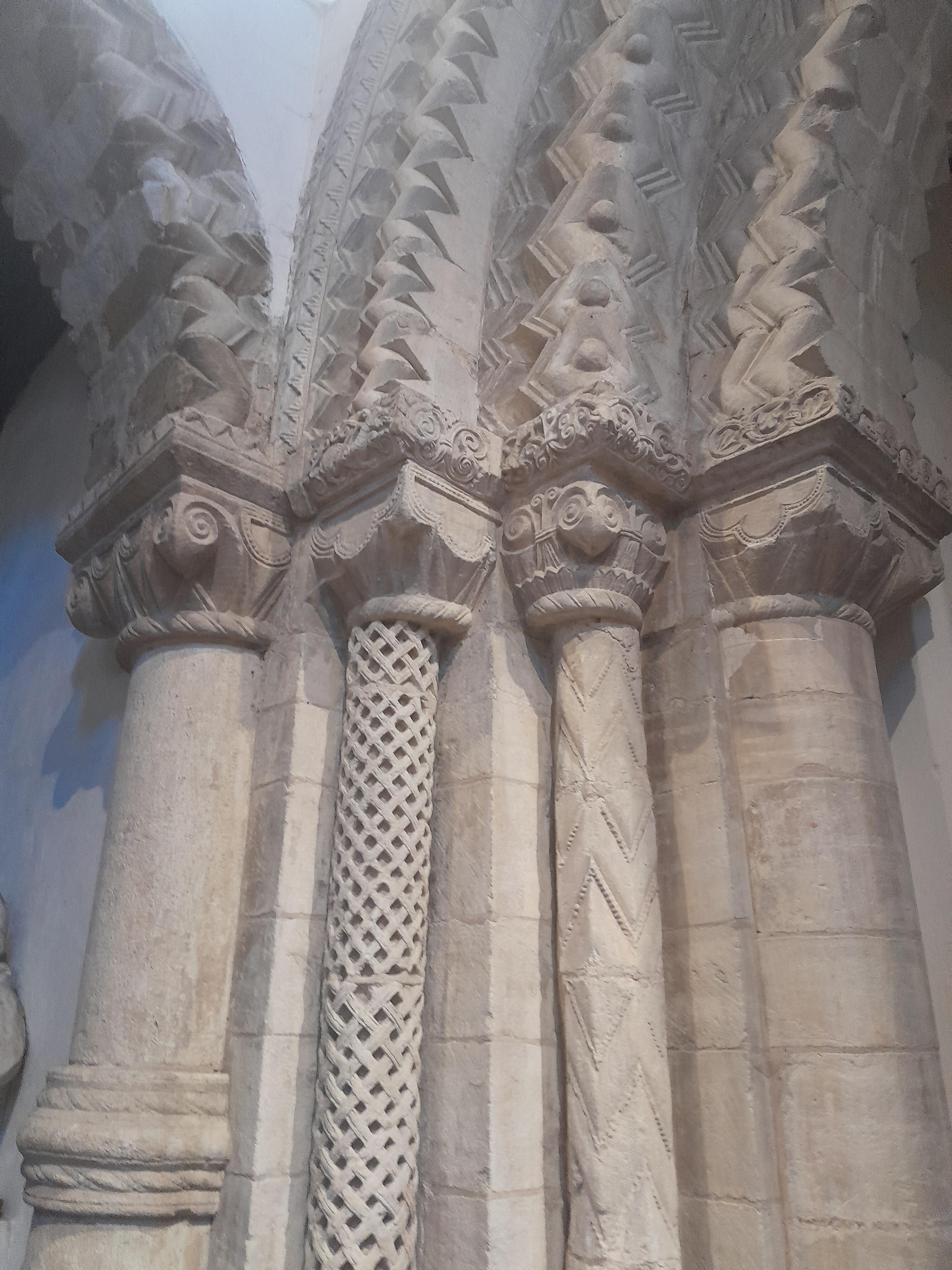
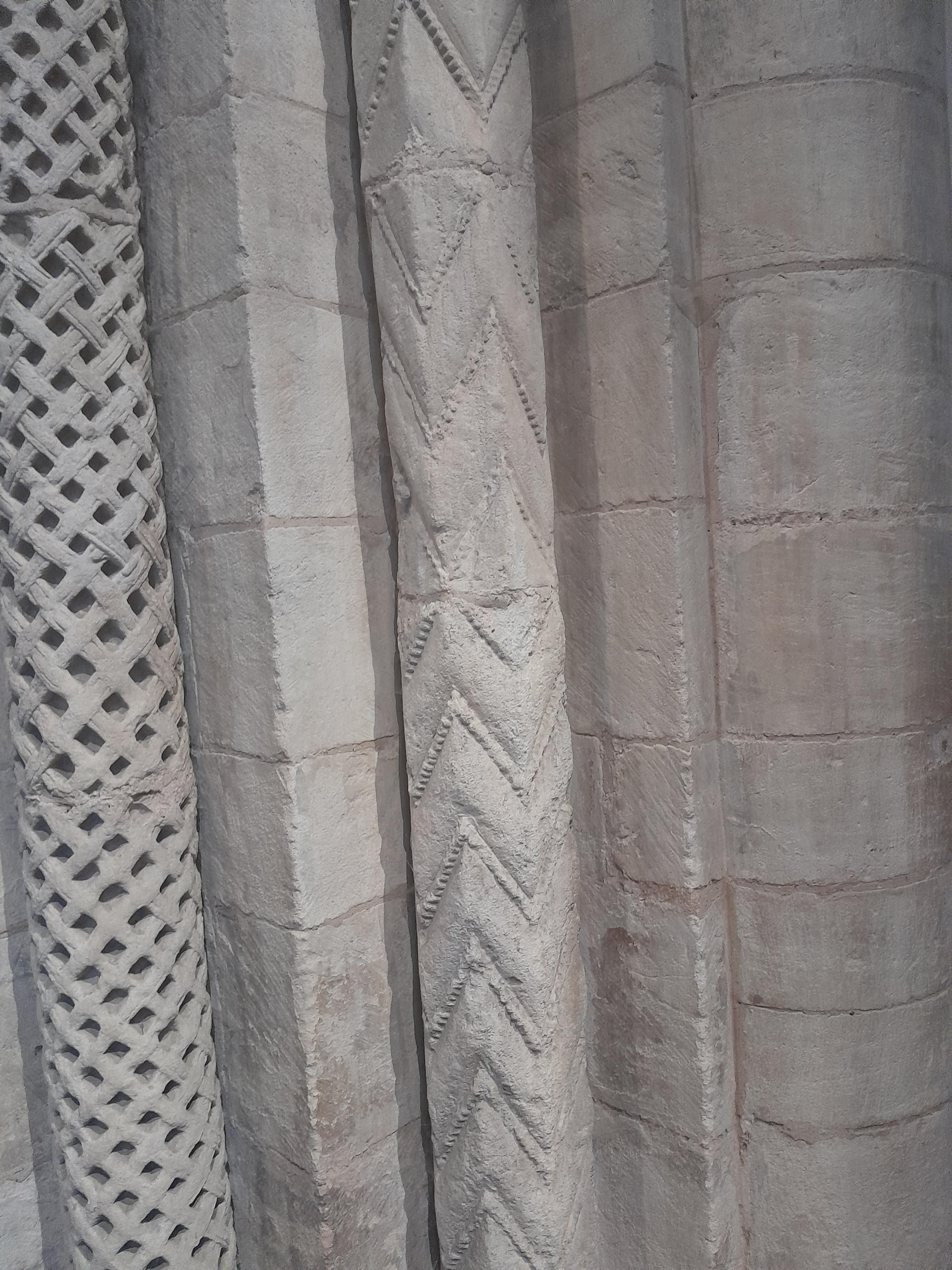
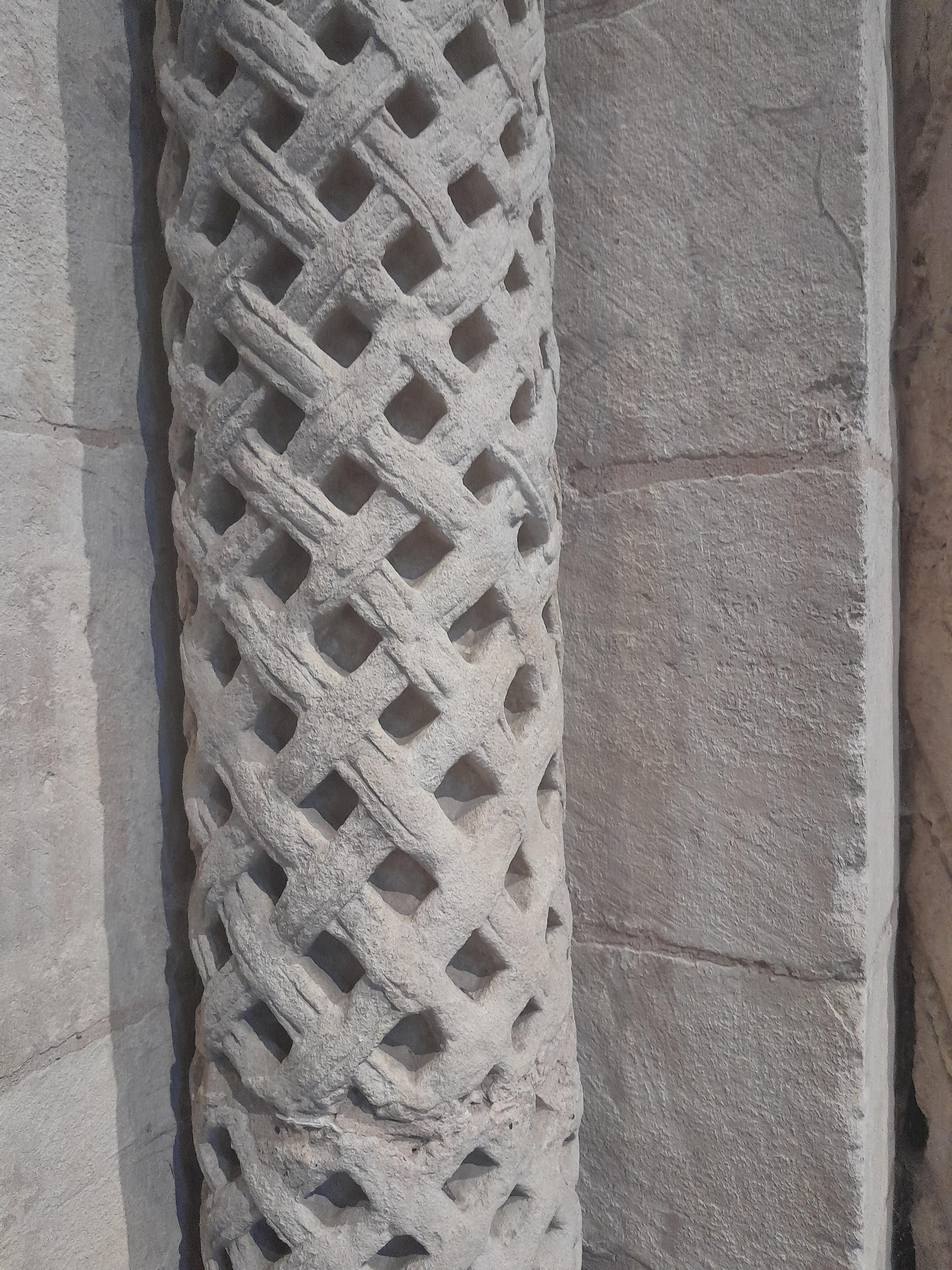
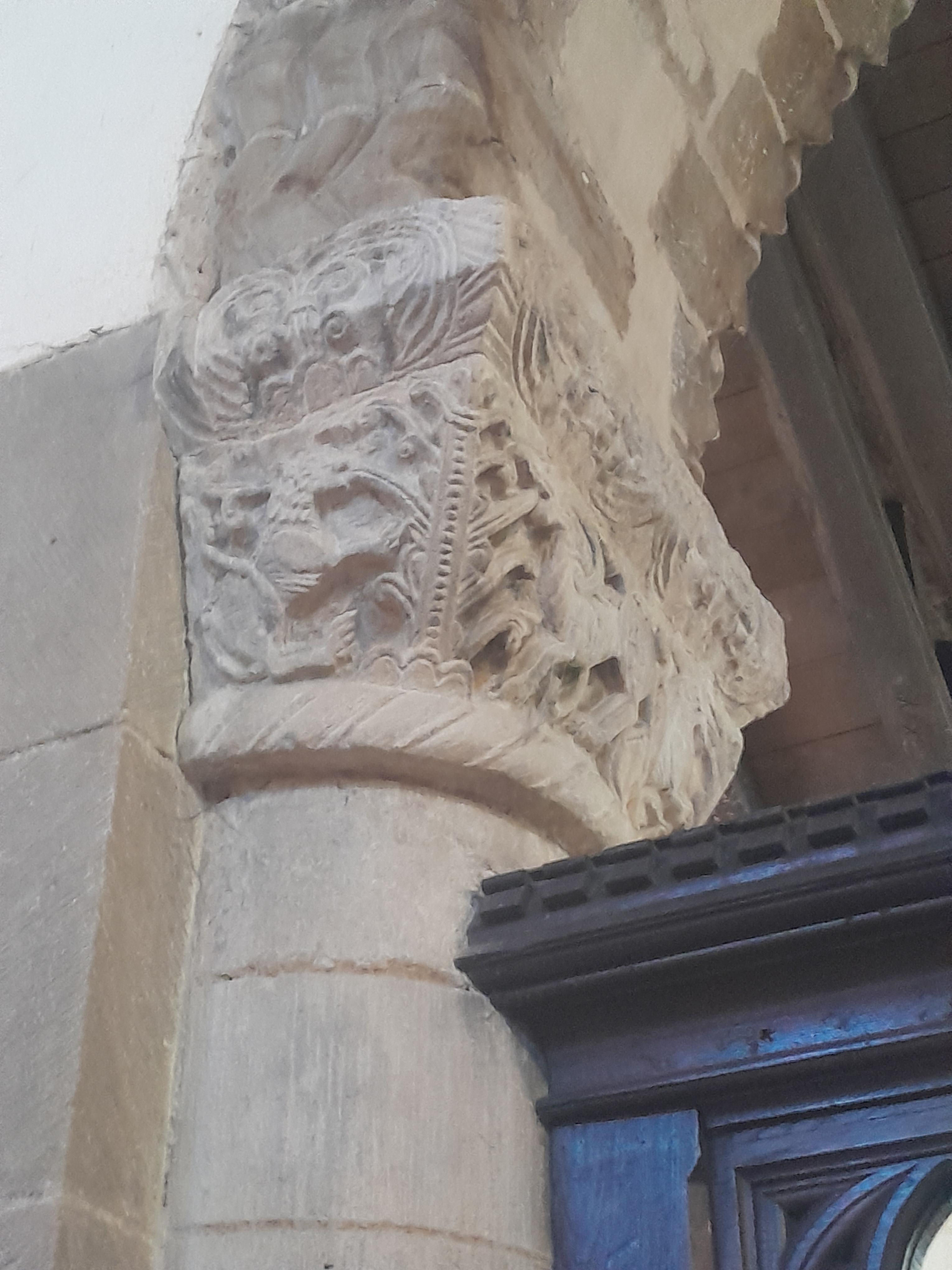
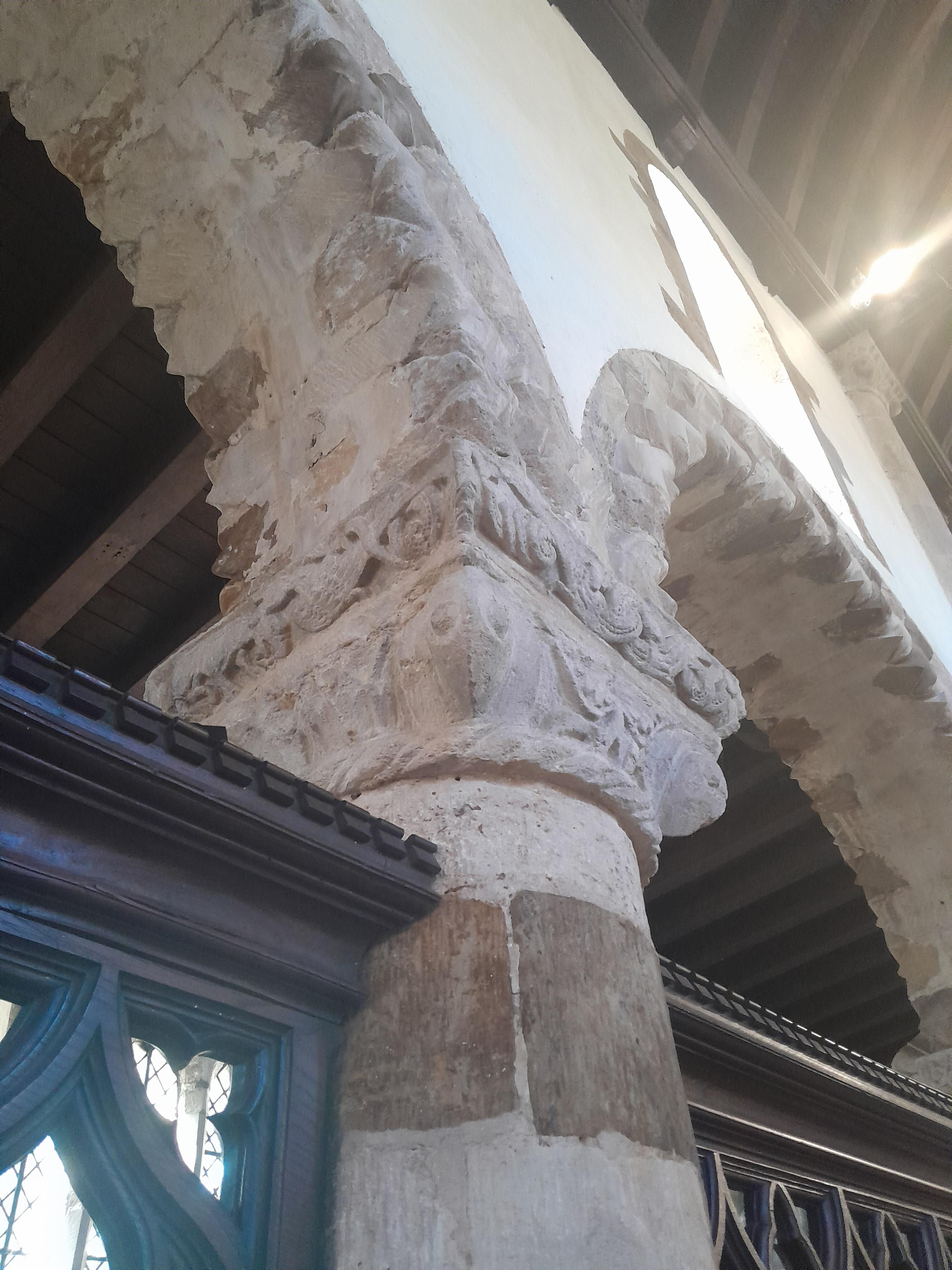
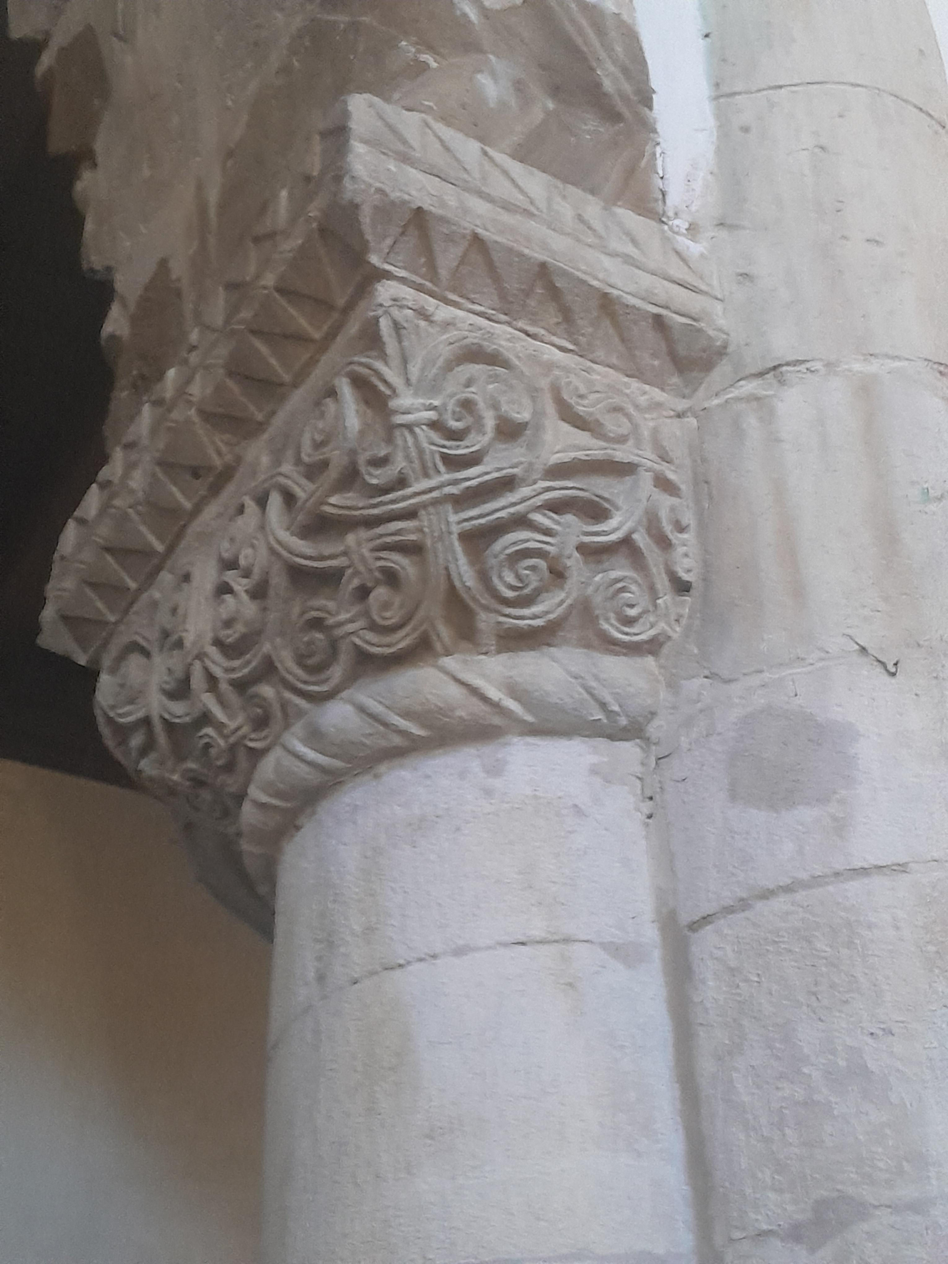
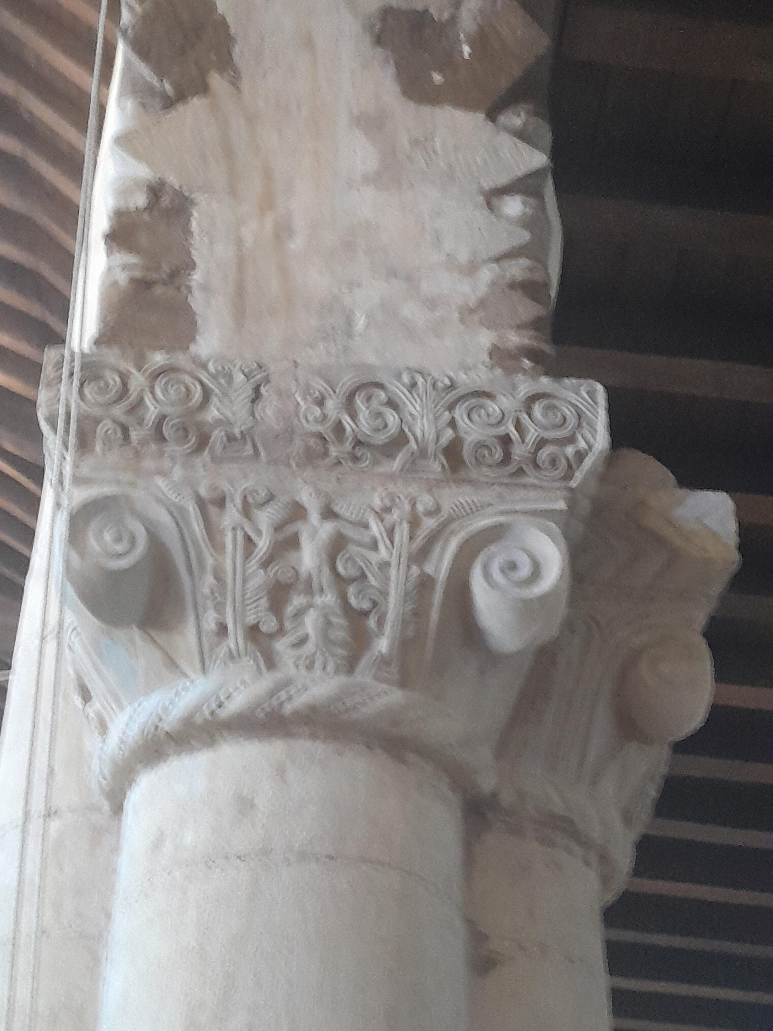
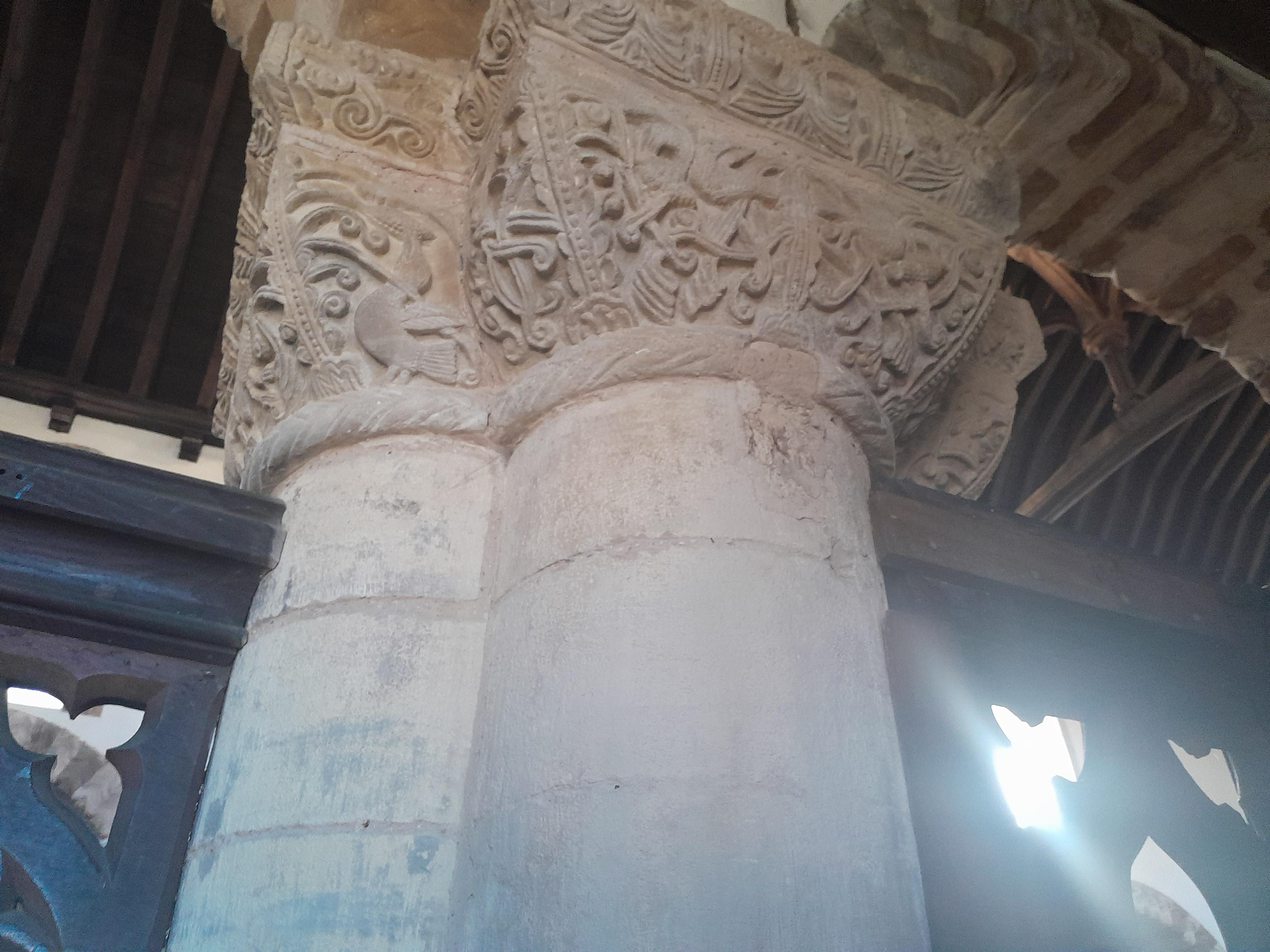
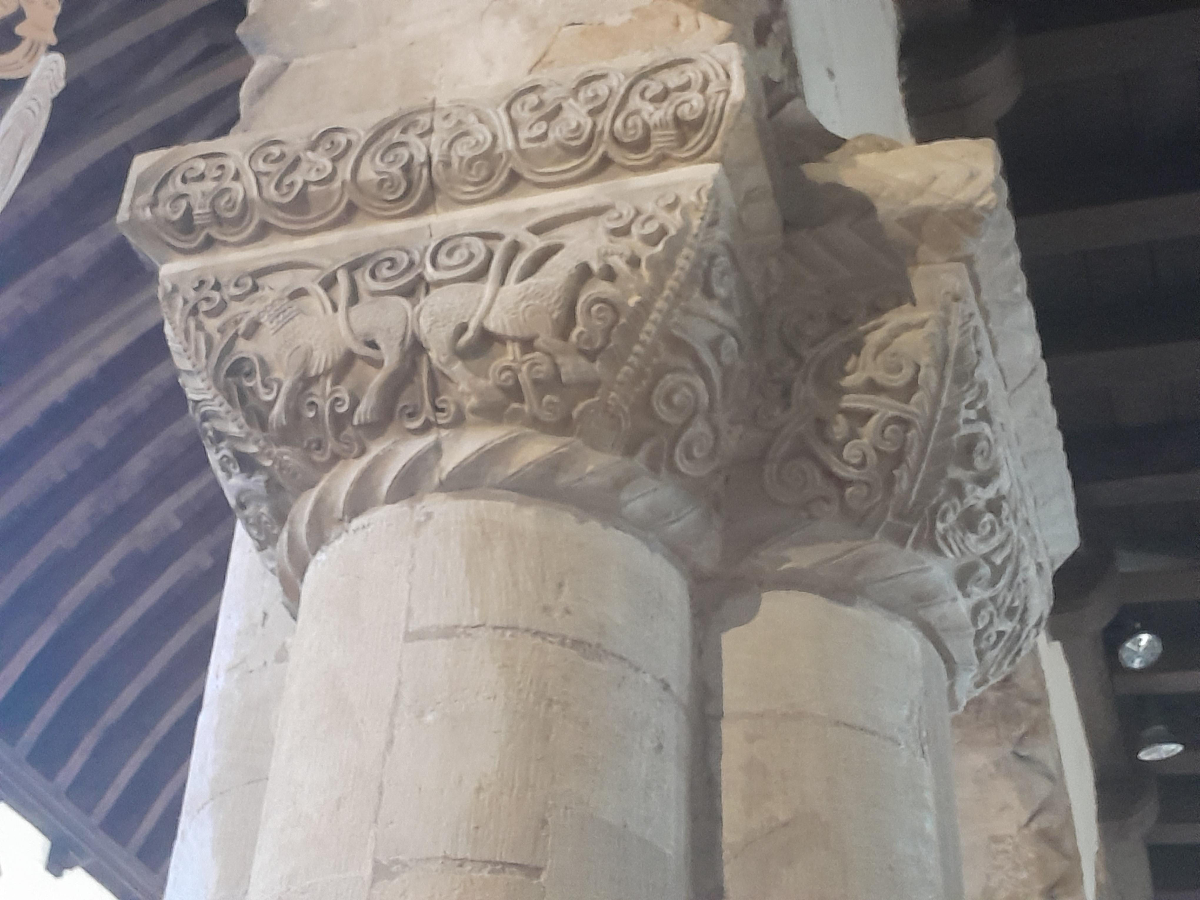
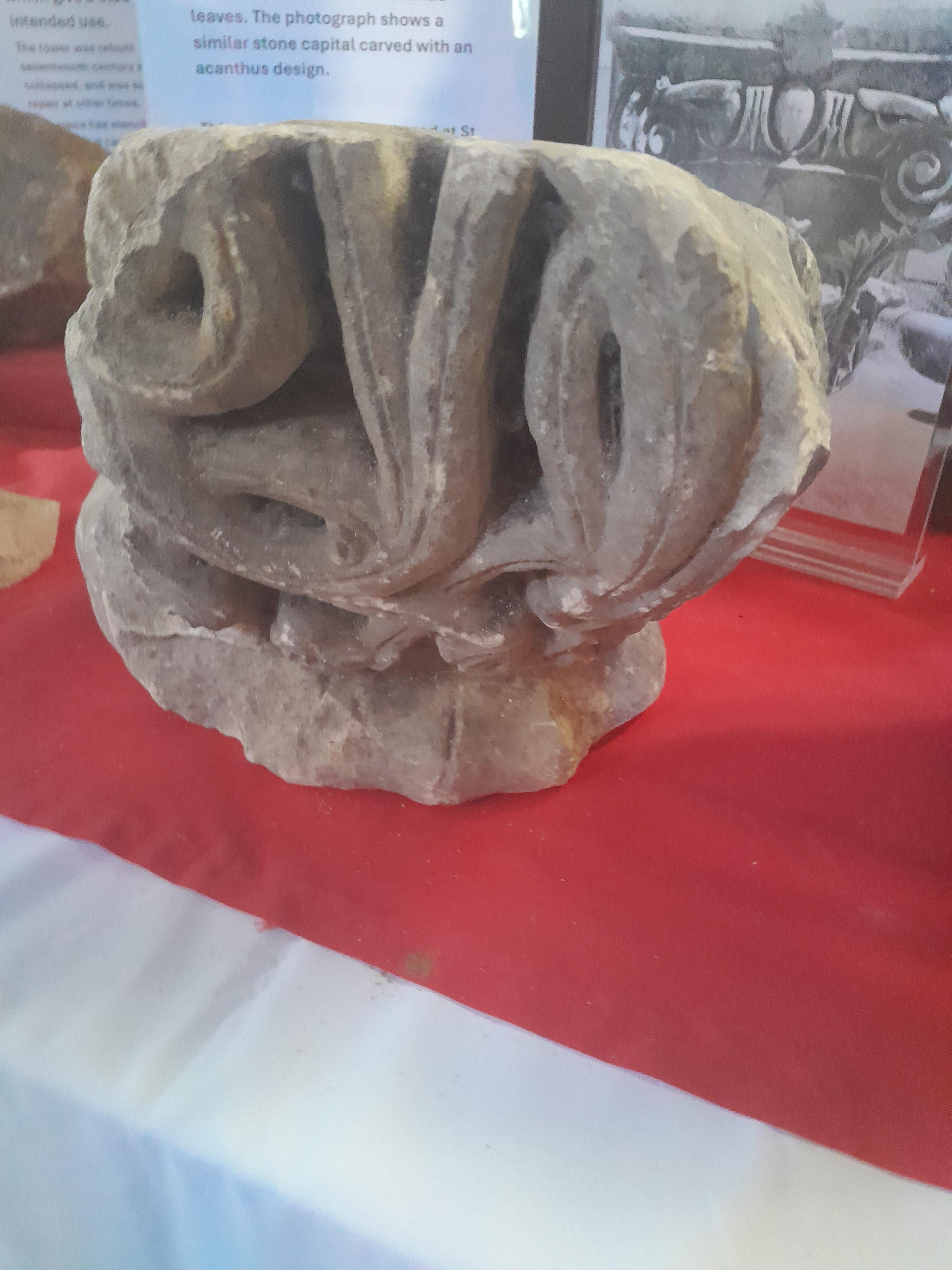
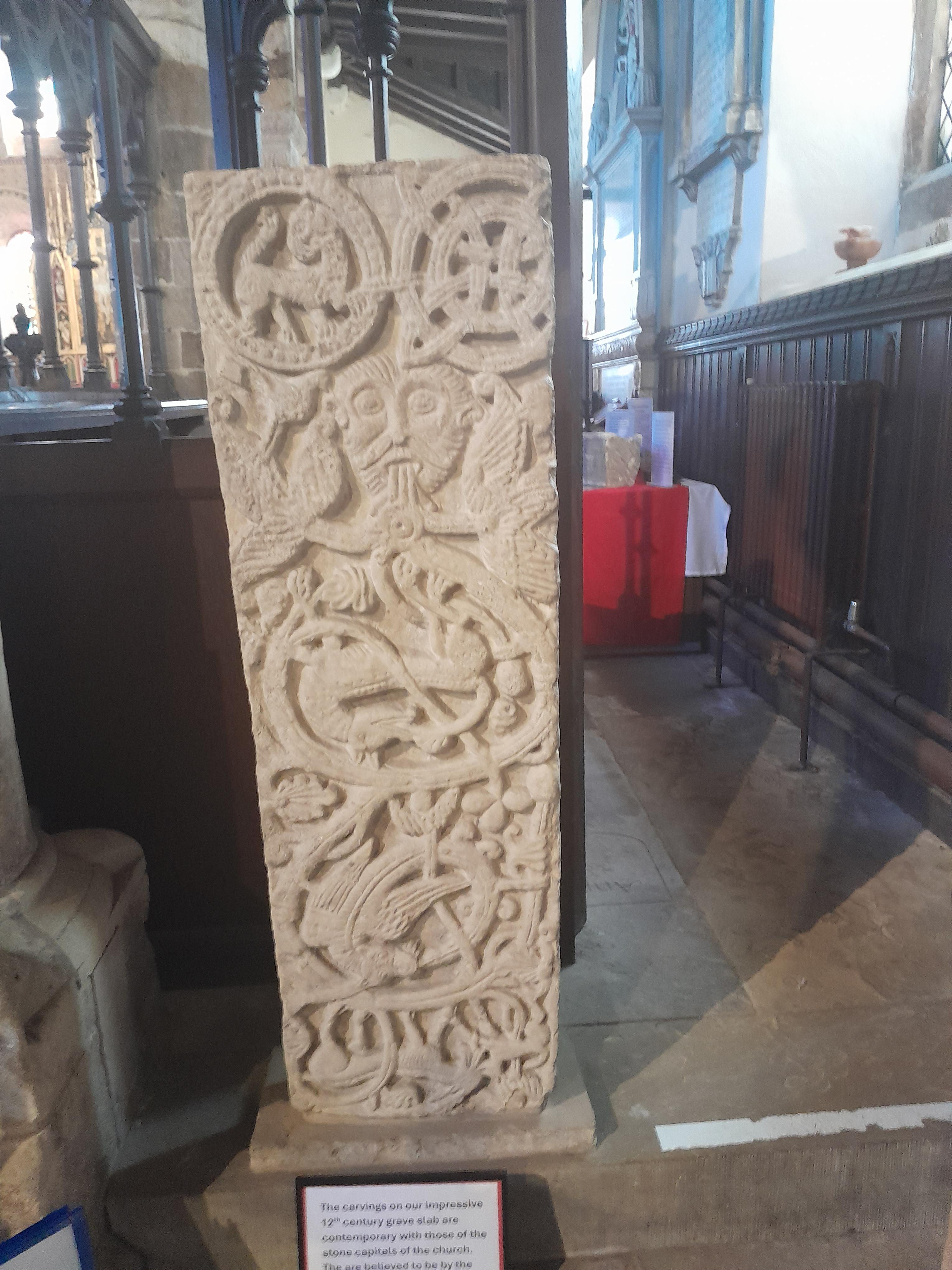
Carved capitals of the pillars.
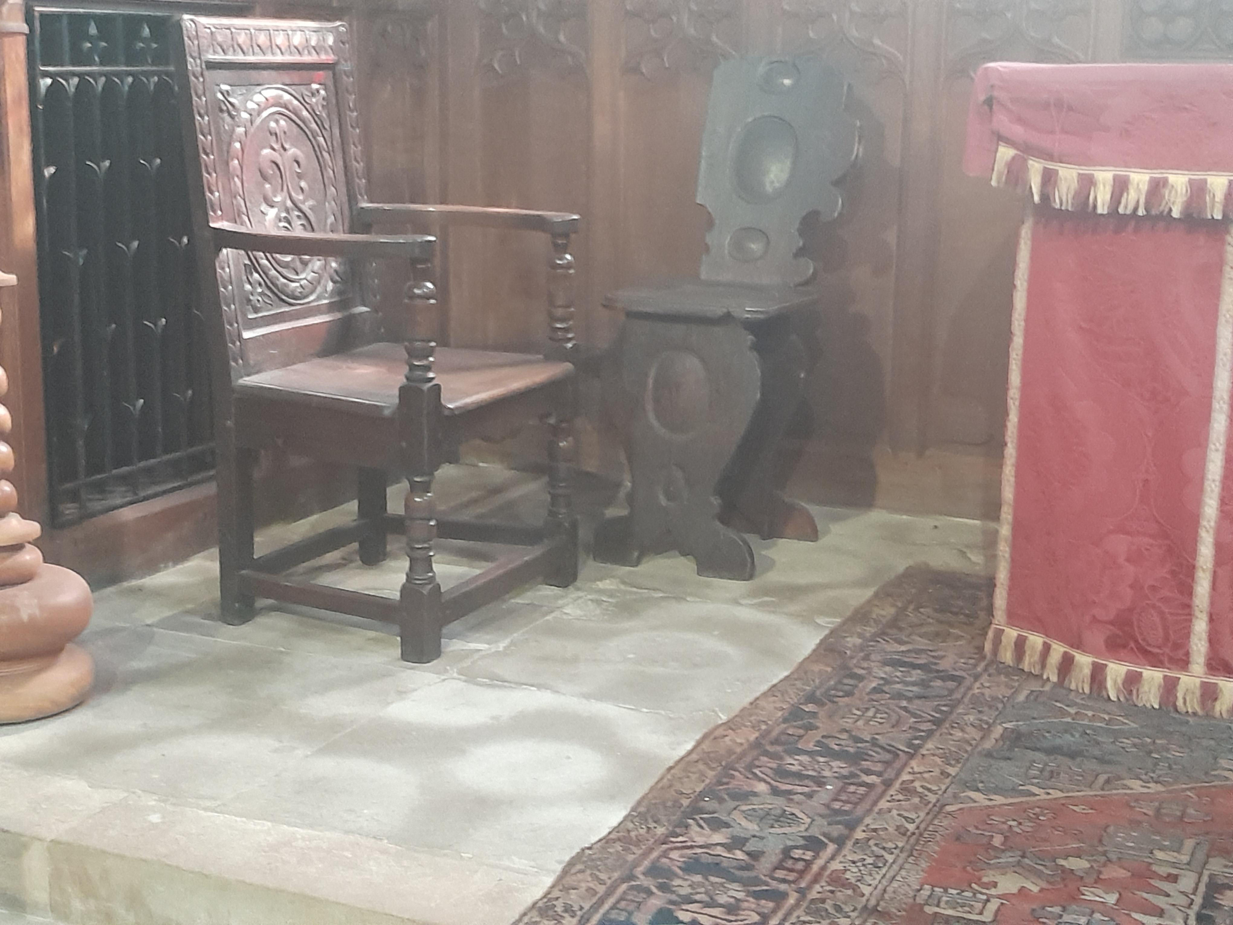
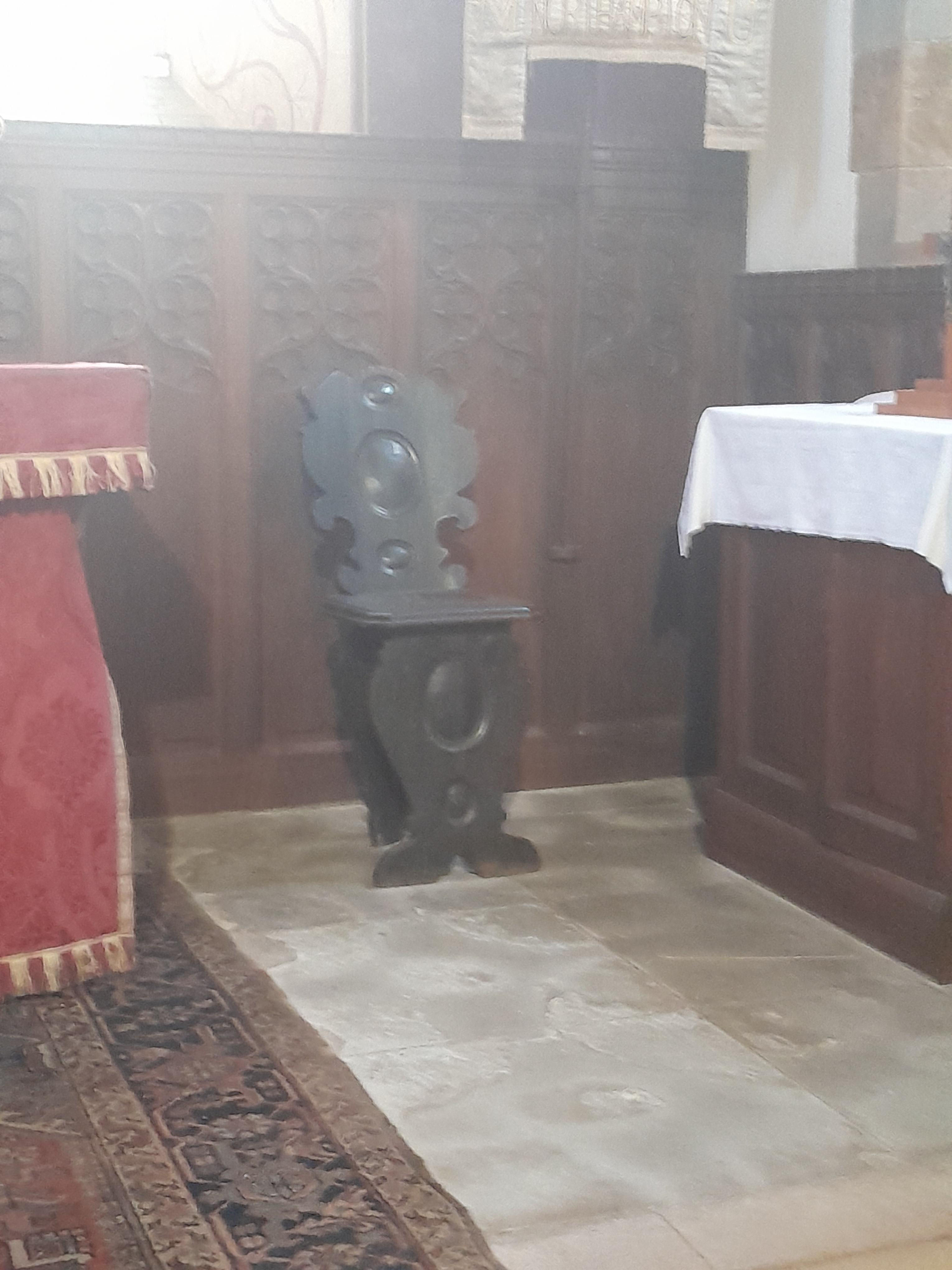
Details inside the church. I think the two similar chairs either side of the altar originally came from Hazelrigg House.
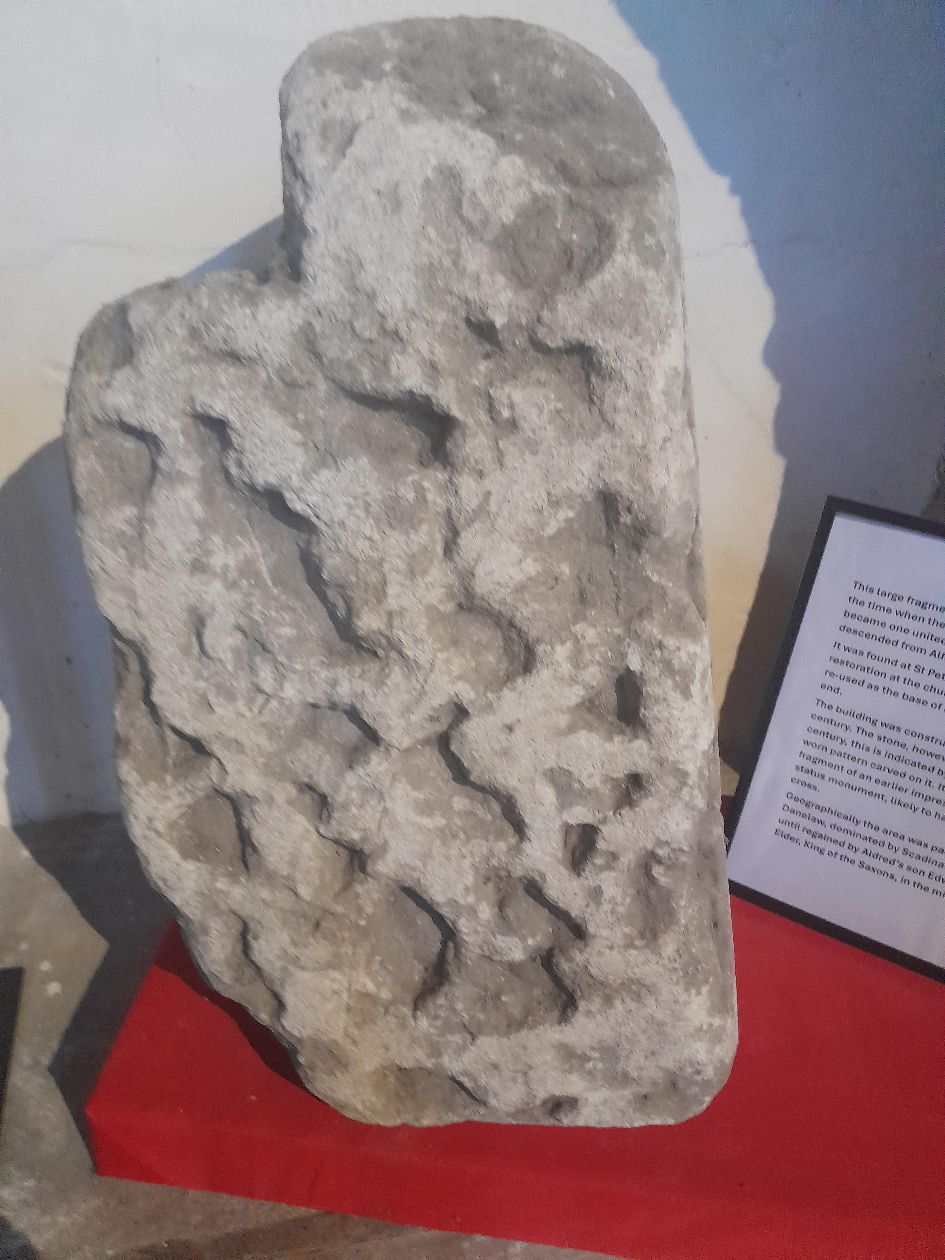
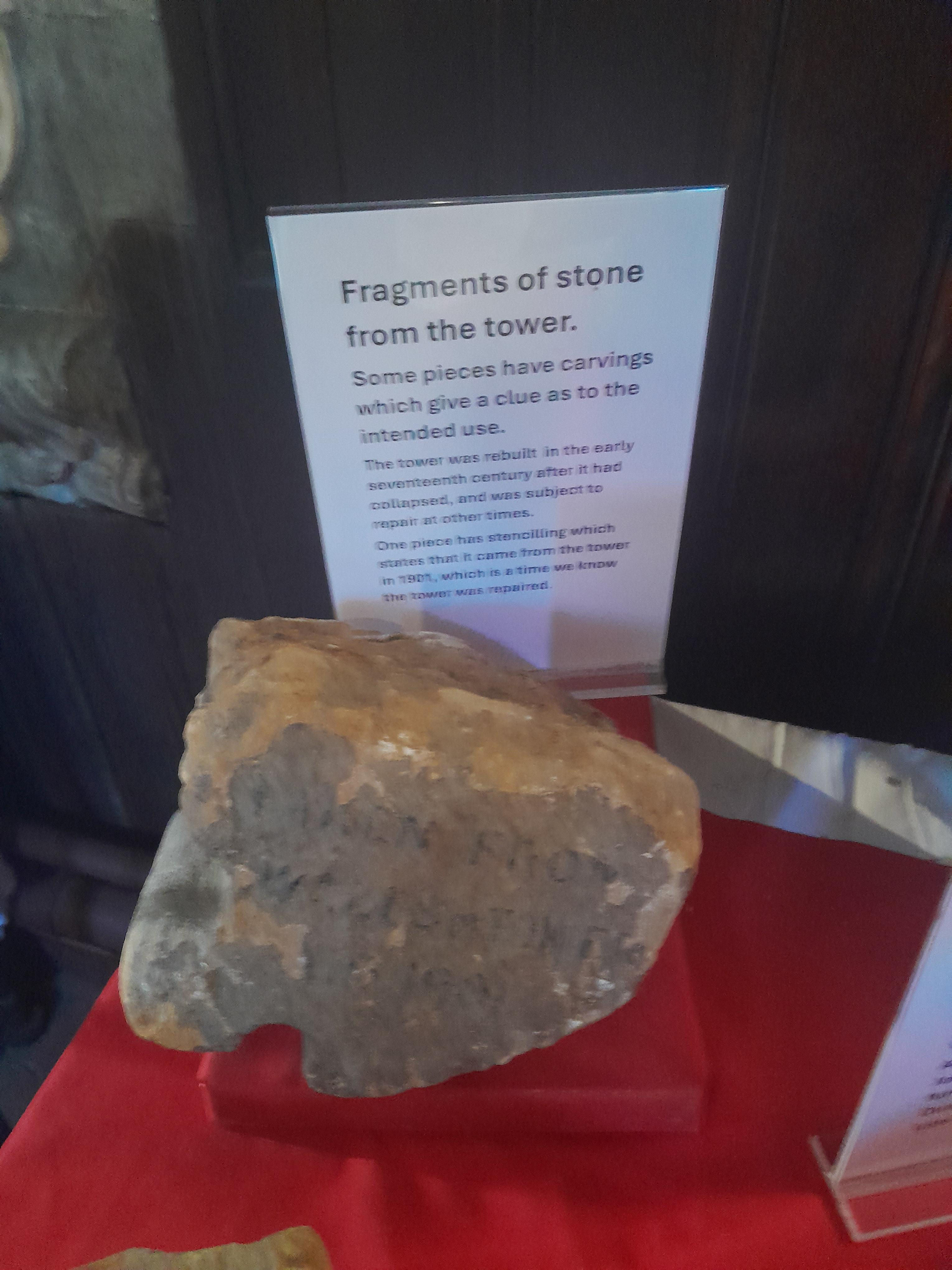
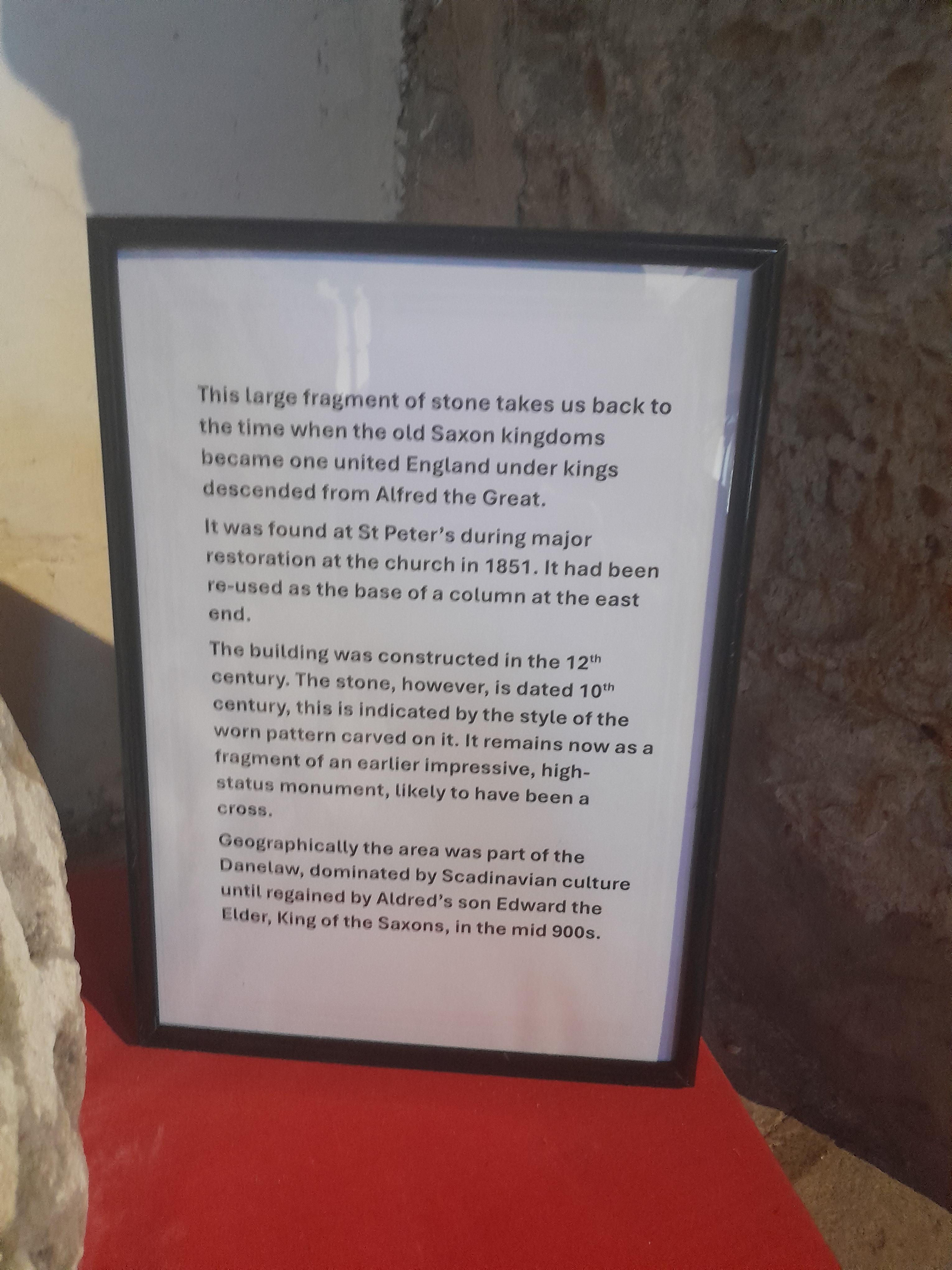
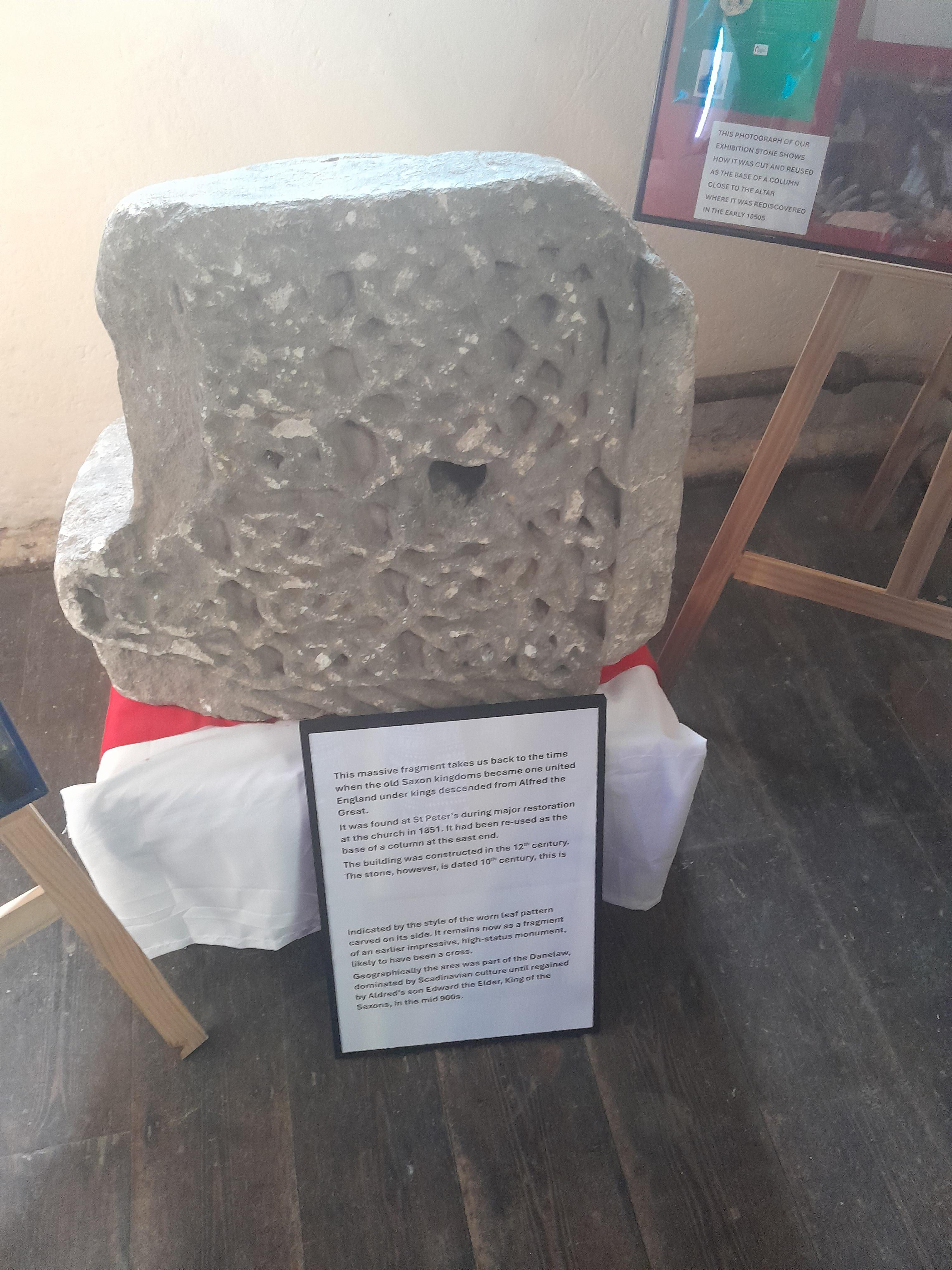
Fragments of stone displayed inside the church.
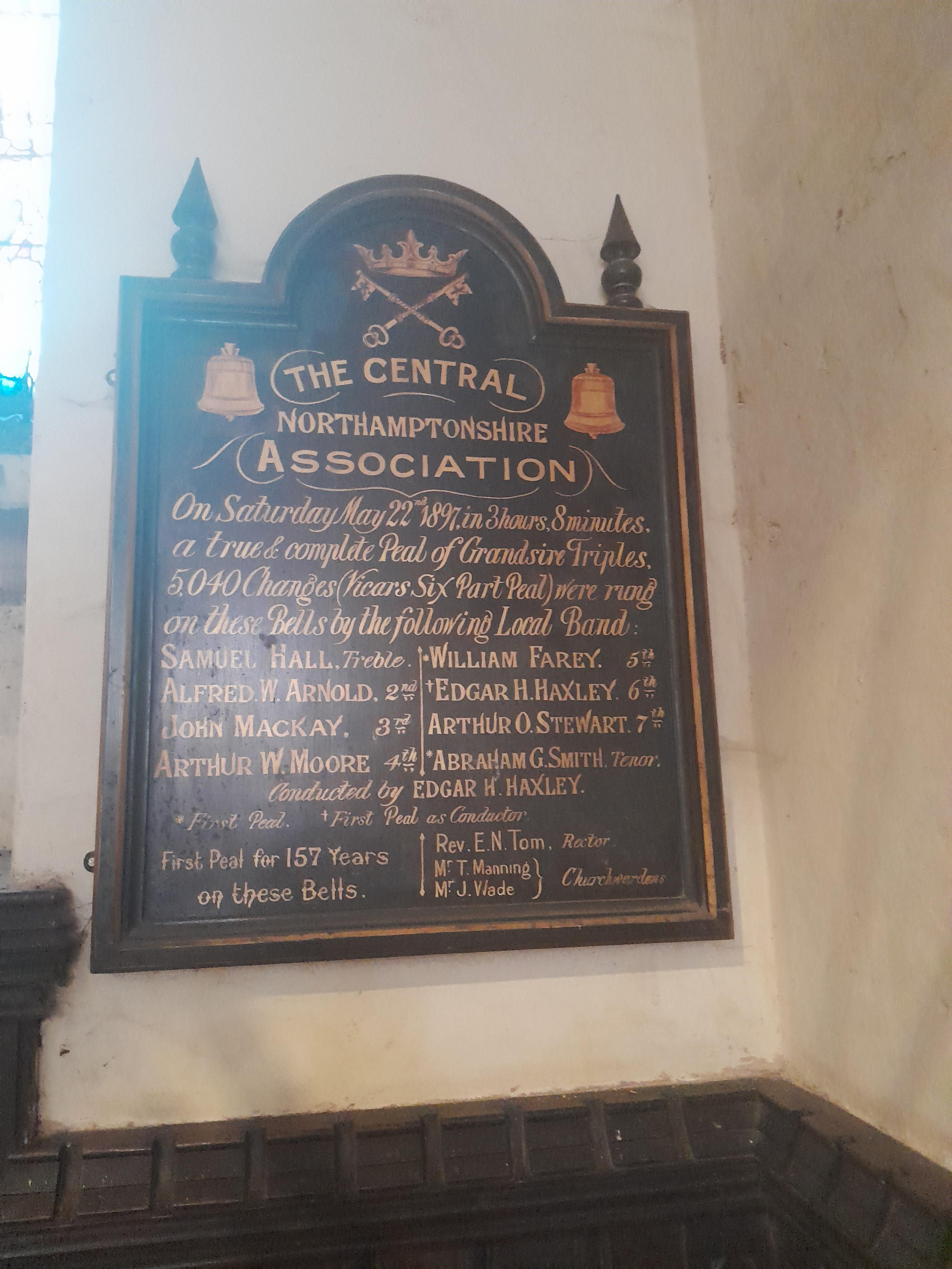
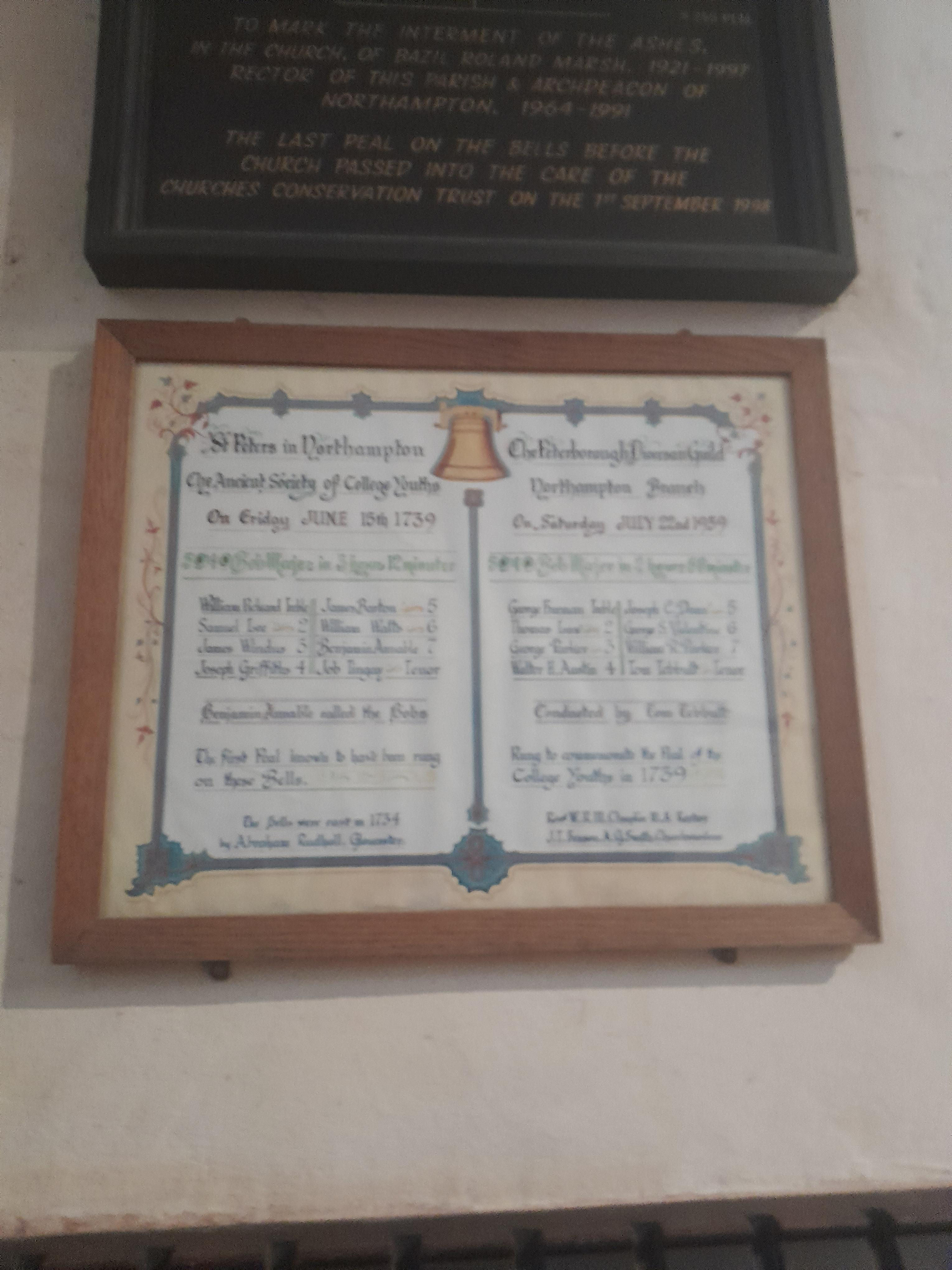
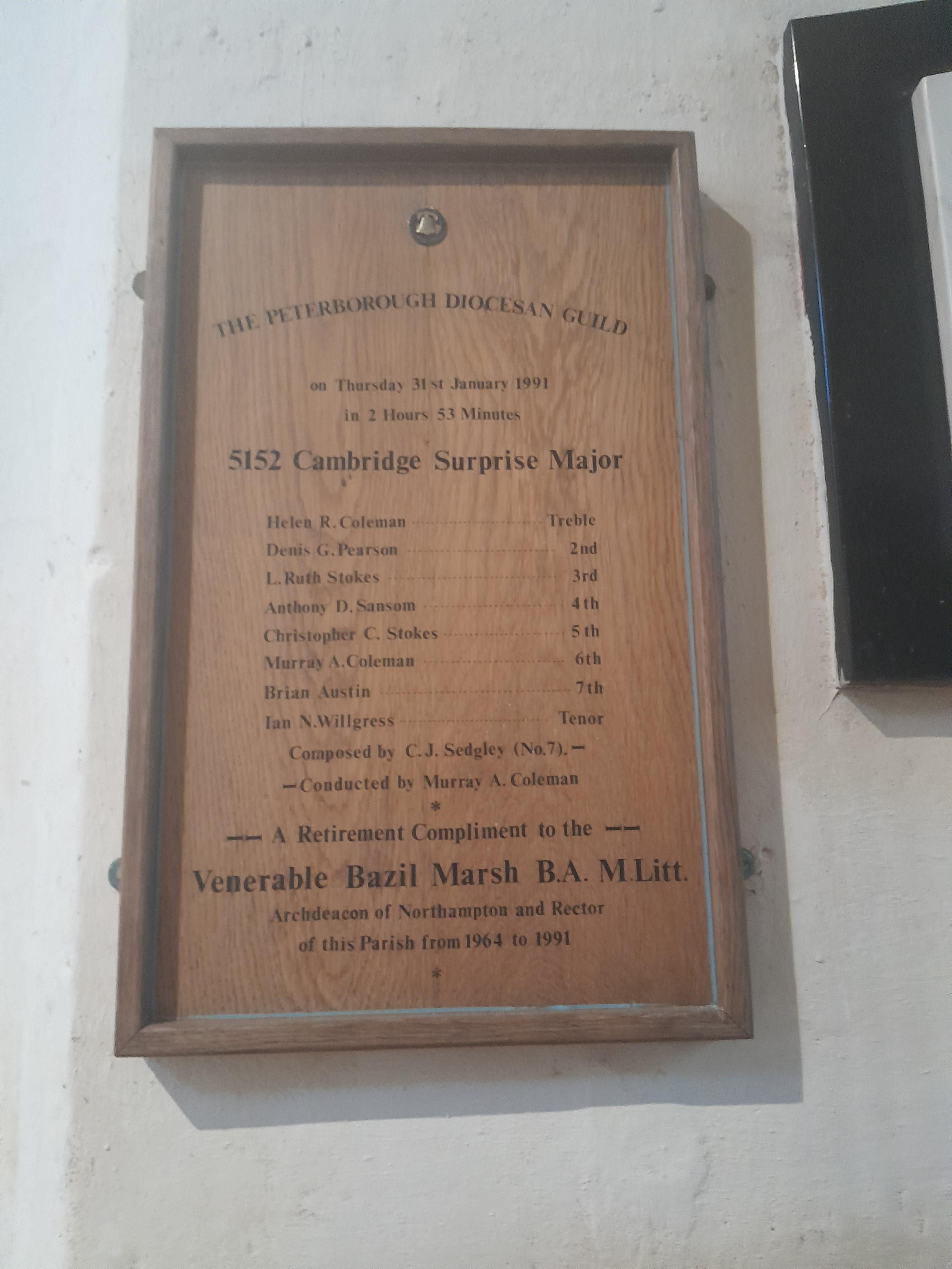
Bell ringing.
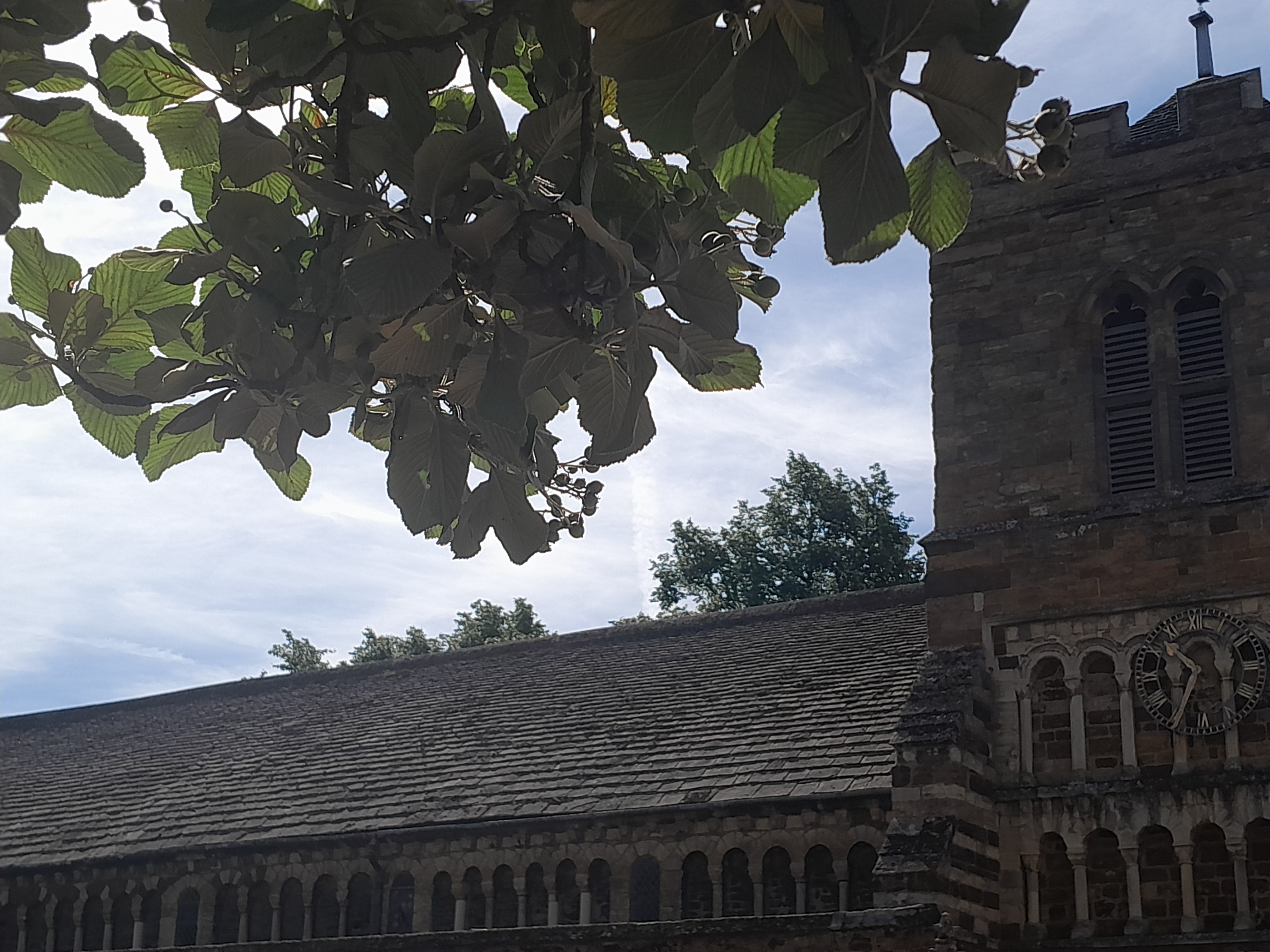
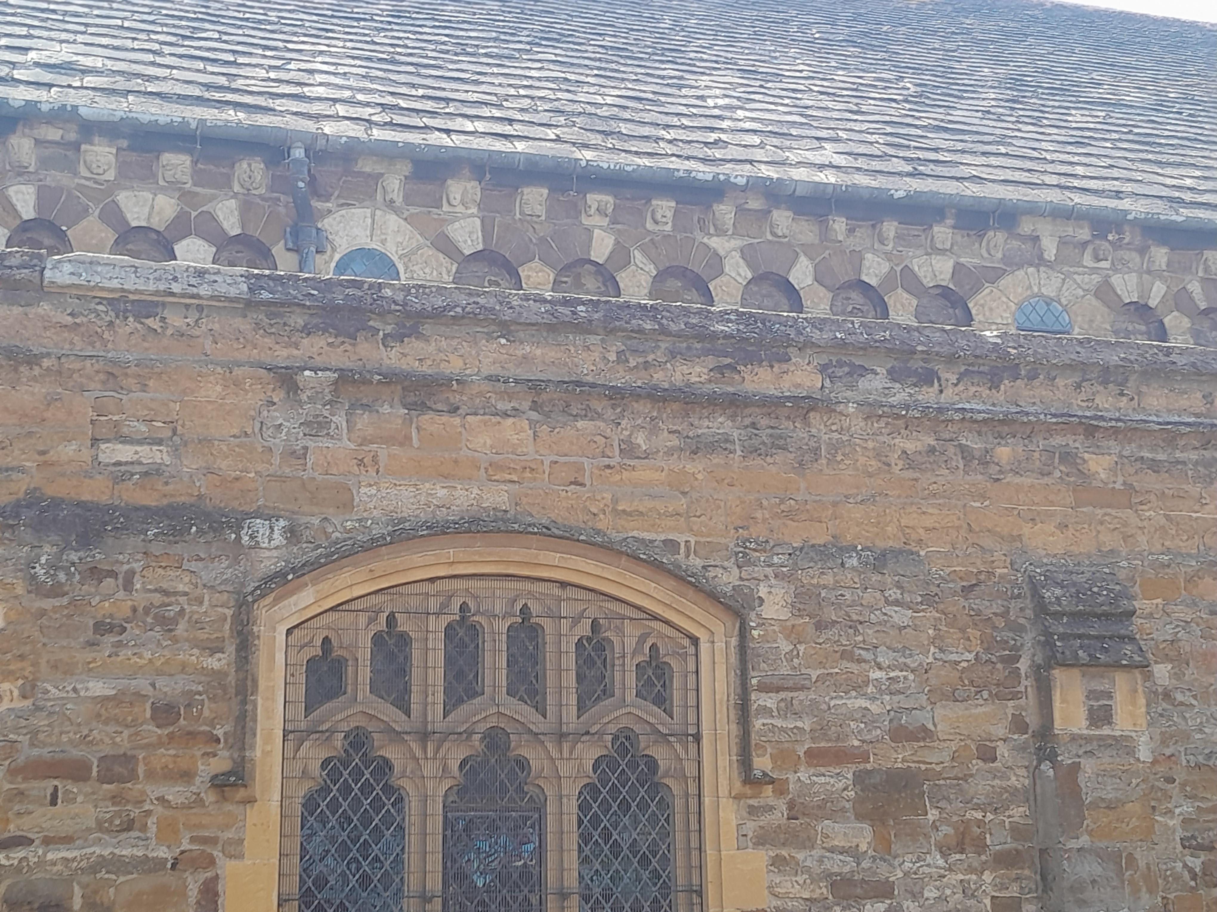
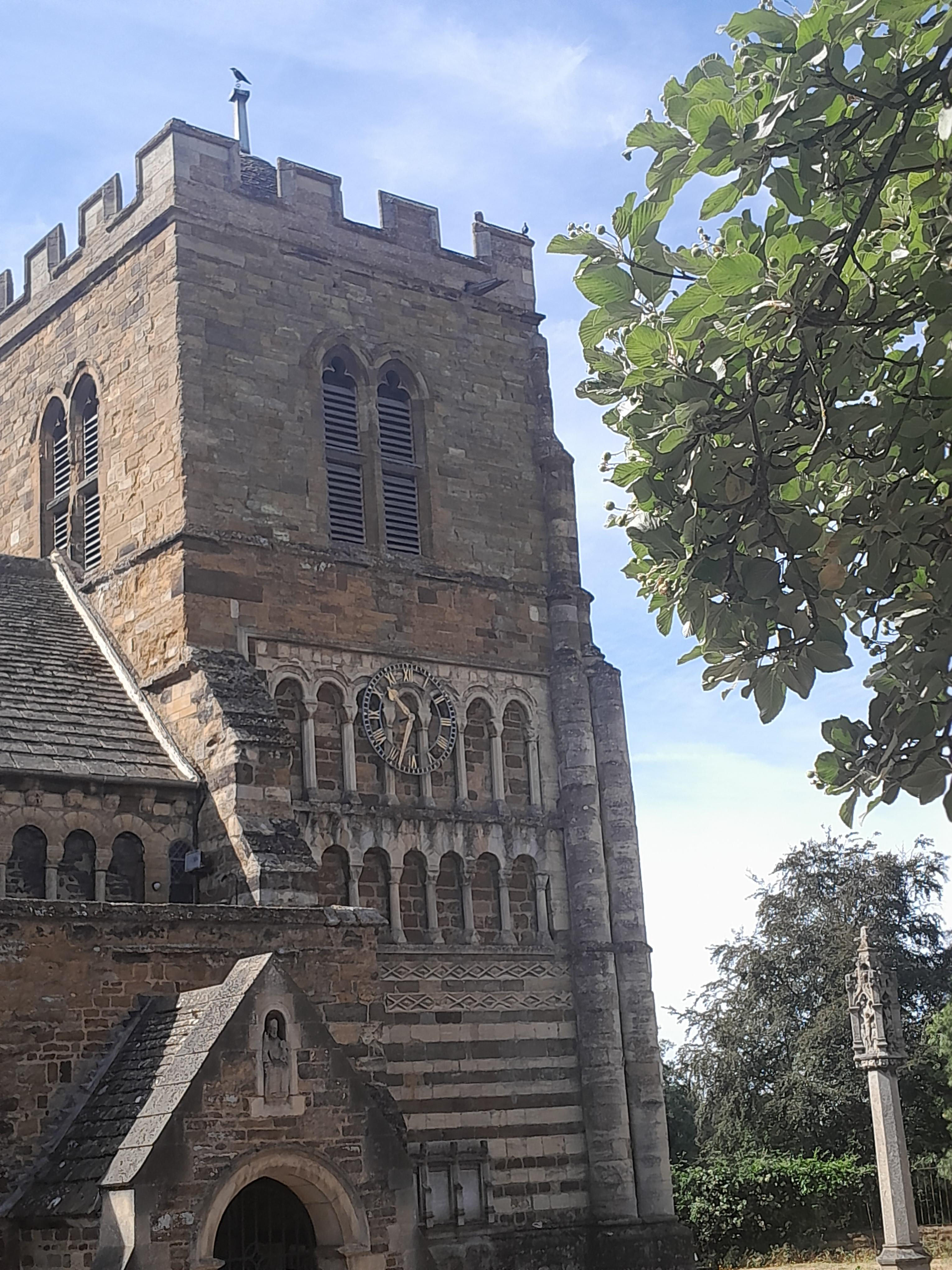
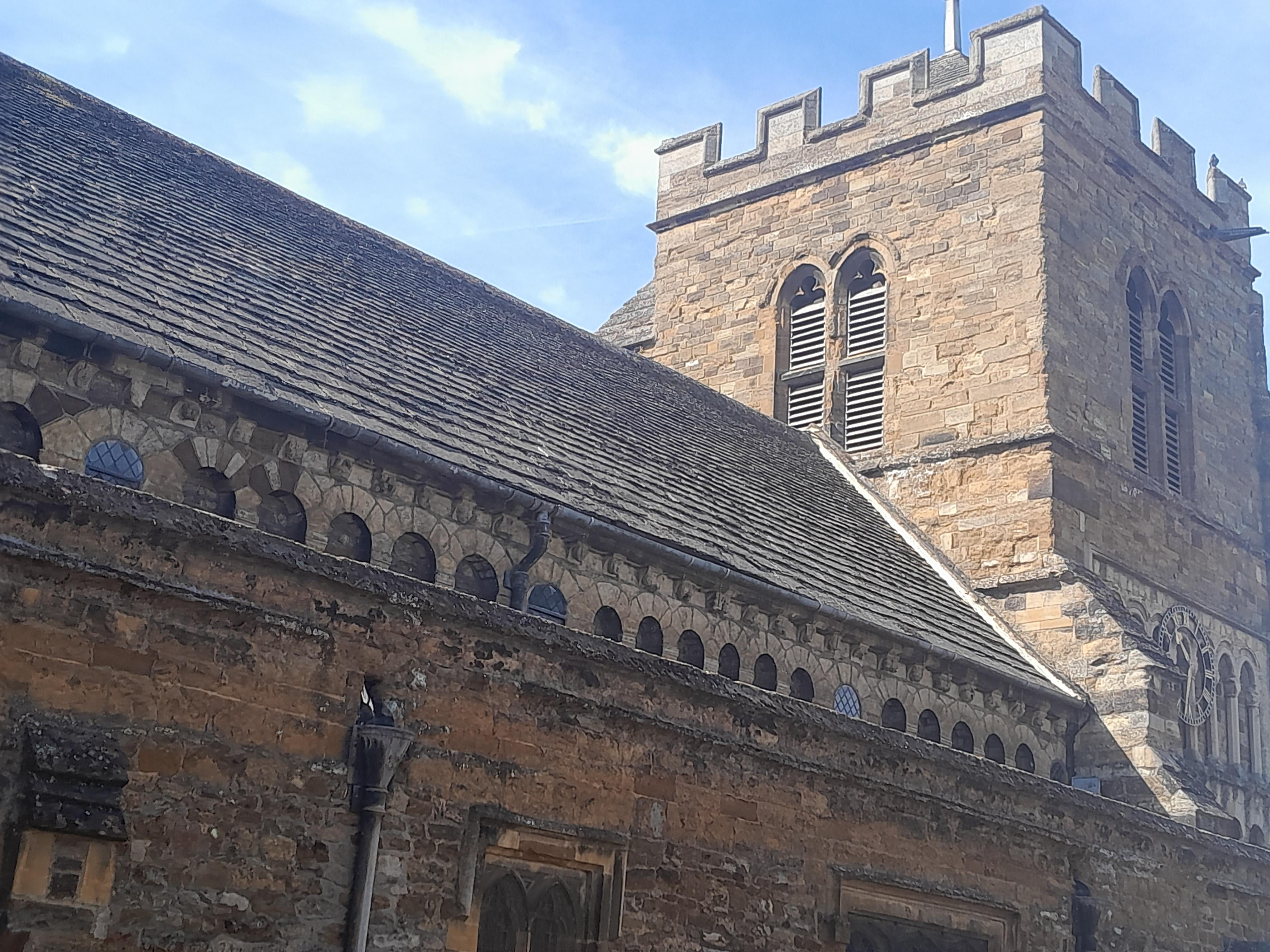
Outside the church:
© Jo Edkins 2026