
River Kennet in ReadingClick on a photo for a large version. |
It looks as if Reading is on the Thames, but in fact the railway cuts the town centre off from it. Old maps don't seem interested in the Thames, even before the railway. Instead, as this map of 1611 (John Speed) shows, Reading is centred on the River Kennet, a tributary of the Thames, which meets it as Kennetmouth, just east of Reading centre.
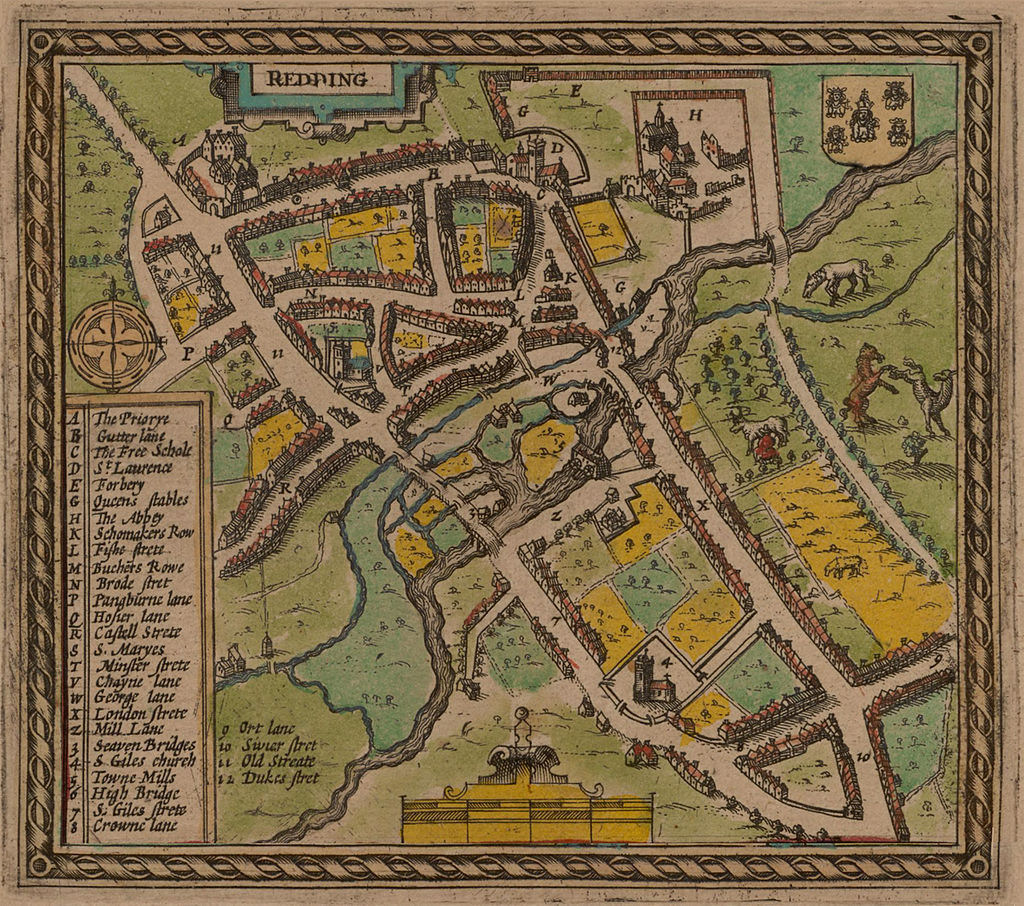
There is a path one side or other of the Kennet, which makes an interesting walk, but we found Reading to be not entirely reliable about paths! Sometimes they were closed. You can usually find an alternative, but I read online about people who tried to walk the entire length of the Kennet, and were blocked right at Kennetmouth by a closed path!
We did a walk along the Thames, then back along the Kennet (and the path was open!)
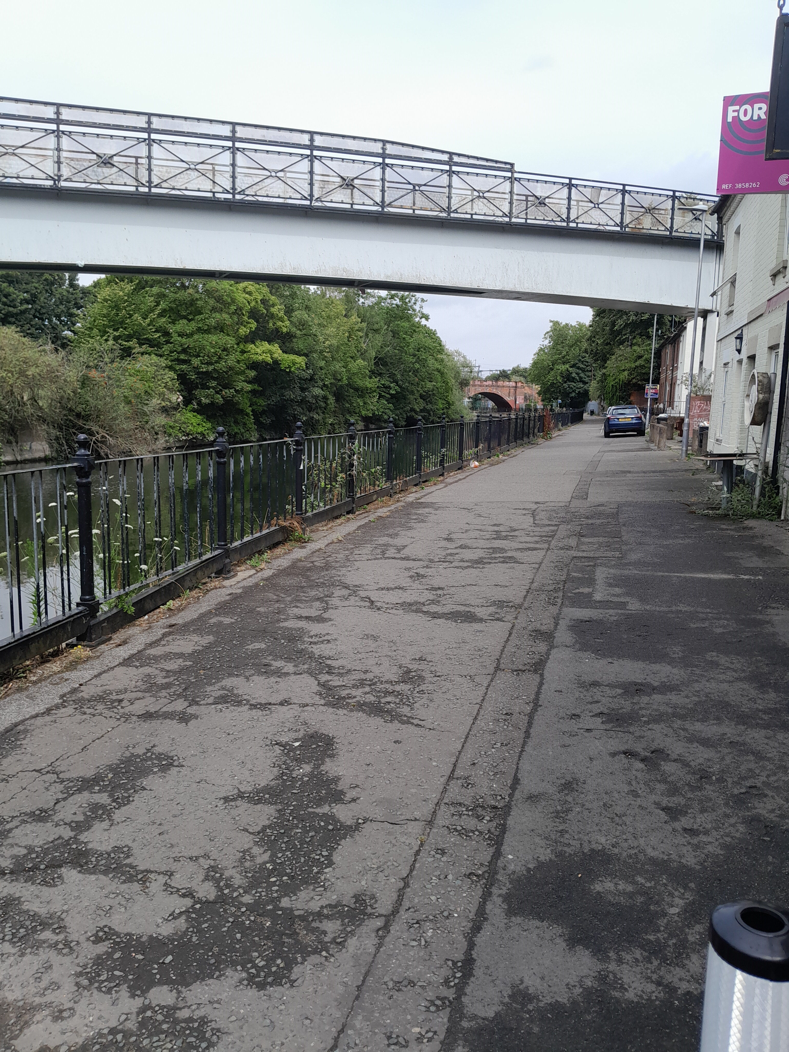
As mentioned above, the railway line cuts Reading off from the Thames. Also the path along the Kennet goes on the south side. So you may need to cross the Kennett, then deal with the railway line. The Horseshoe bridge does this. This, and the railway bridge behind, are listed grade II. "Railway Bridge and Attached Accommodation Bridge over River Kennet. Railway bridge 1839-1840 by Isambard Kingdom Brunel for The Great Western Railway". They seem a bit vague about who built the Horseshoe Bridge (and when), but it's part of the listing. It's called the Horseshoe bridge from its shape, although you can only see half of it from the photos. You can see the start of the path along the Kennett, under both bridges.


This is looking back at the railway bridge, under the Kenavon bridge (which is a foot bridge).
This is the Riverside museum, on the other side of the river.
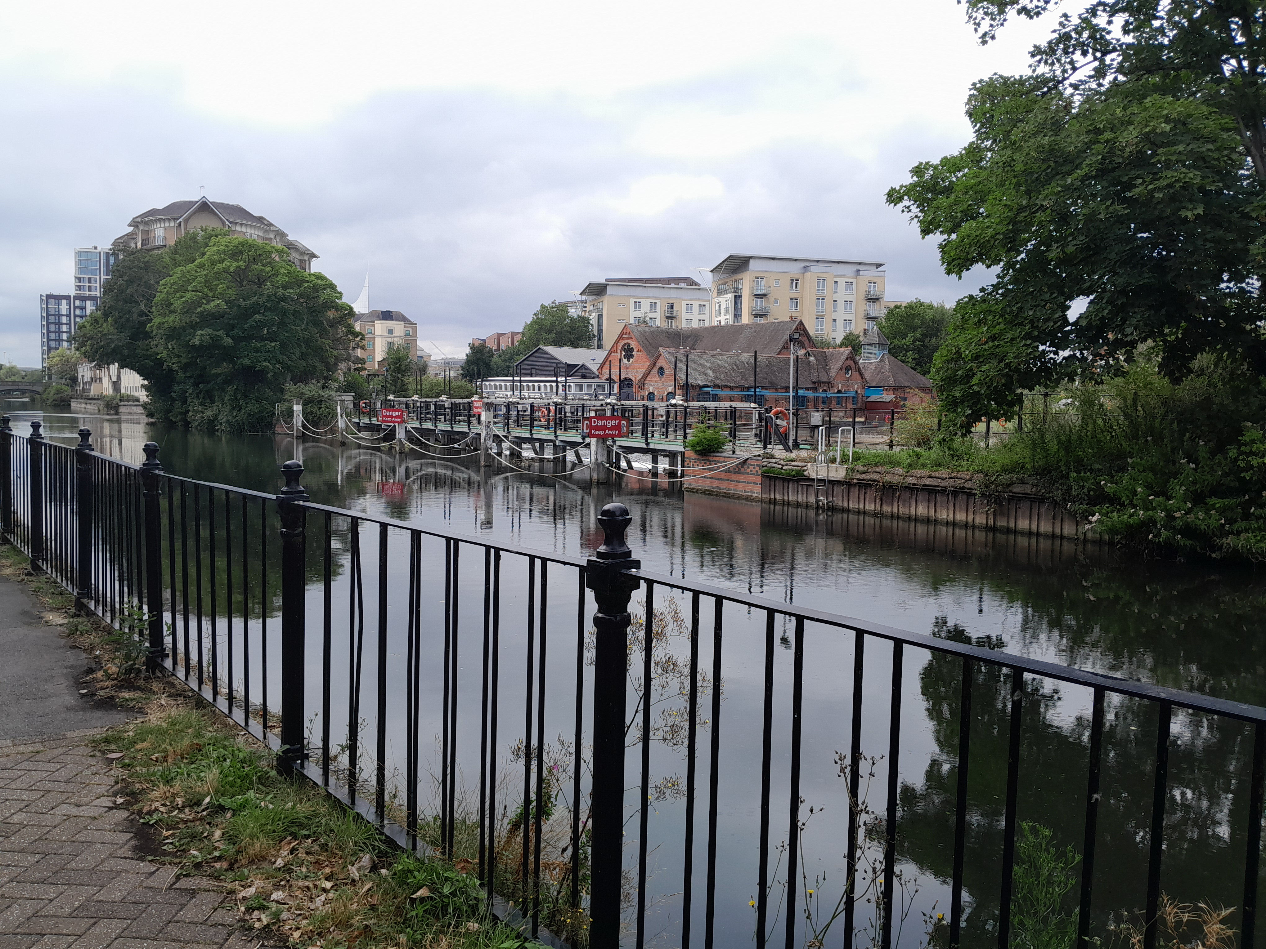
This shows the beginning, middle and end of Biscuit island, seen from the south bank of the Kennet.
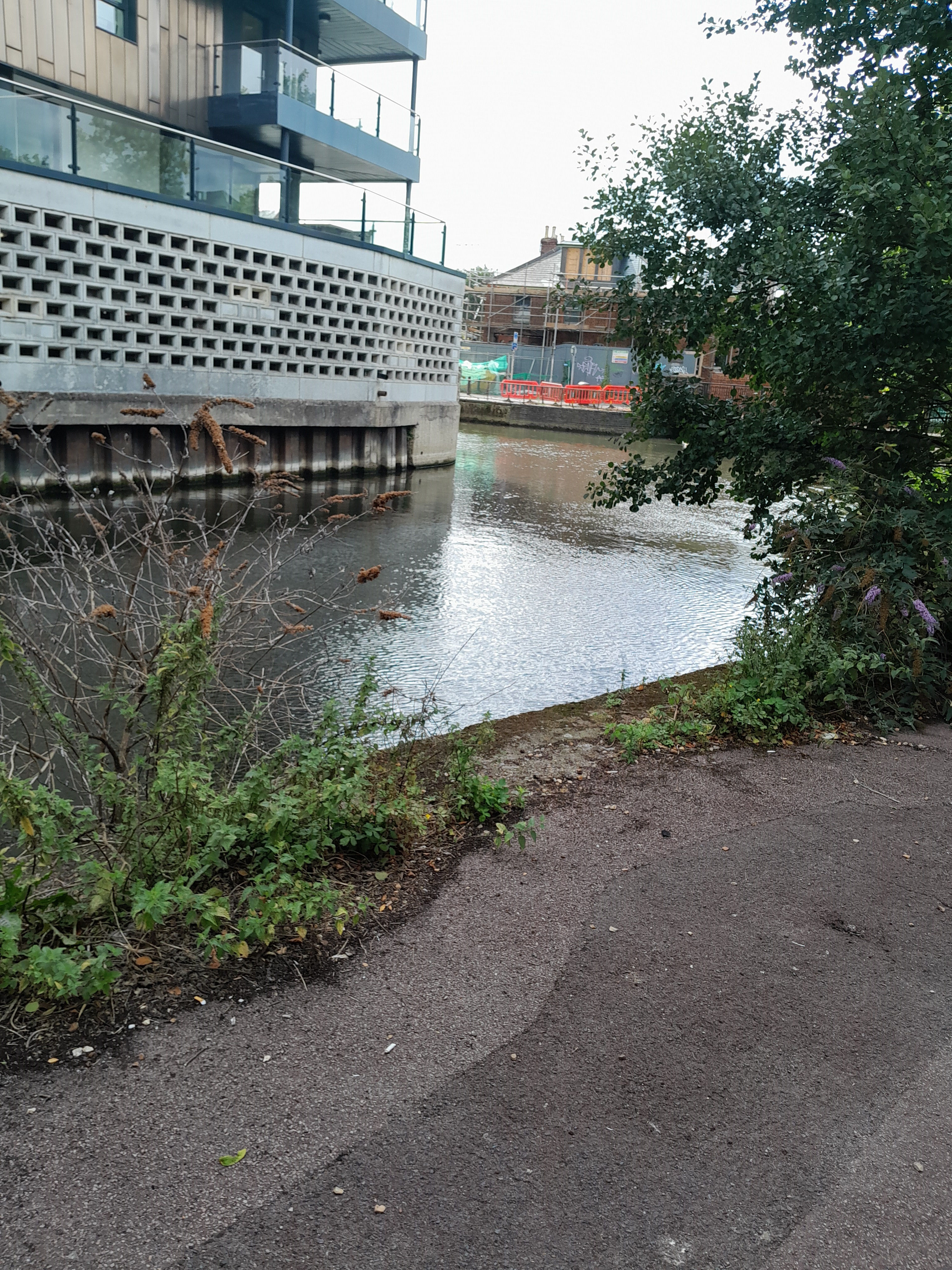
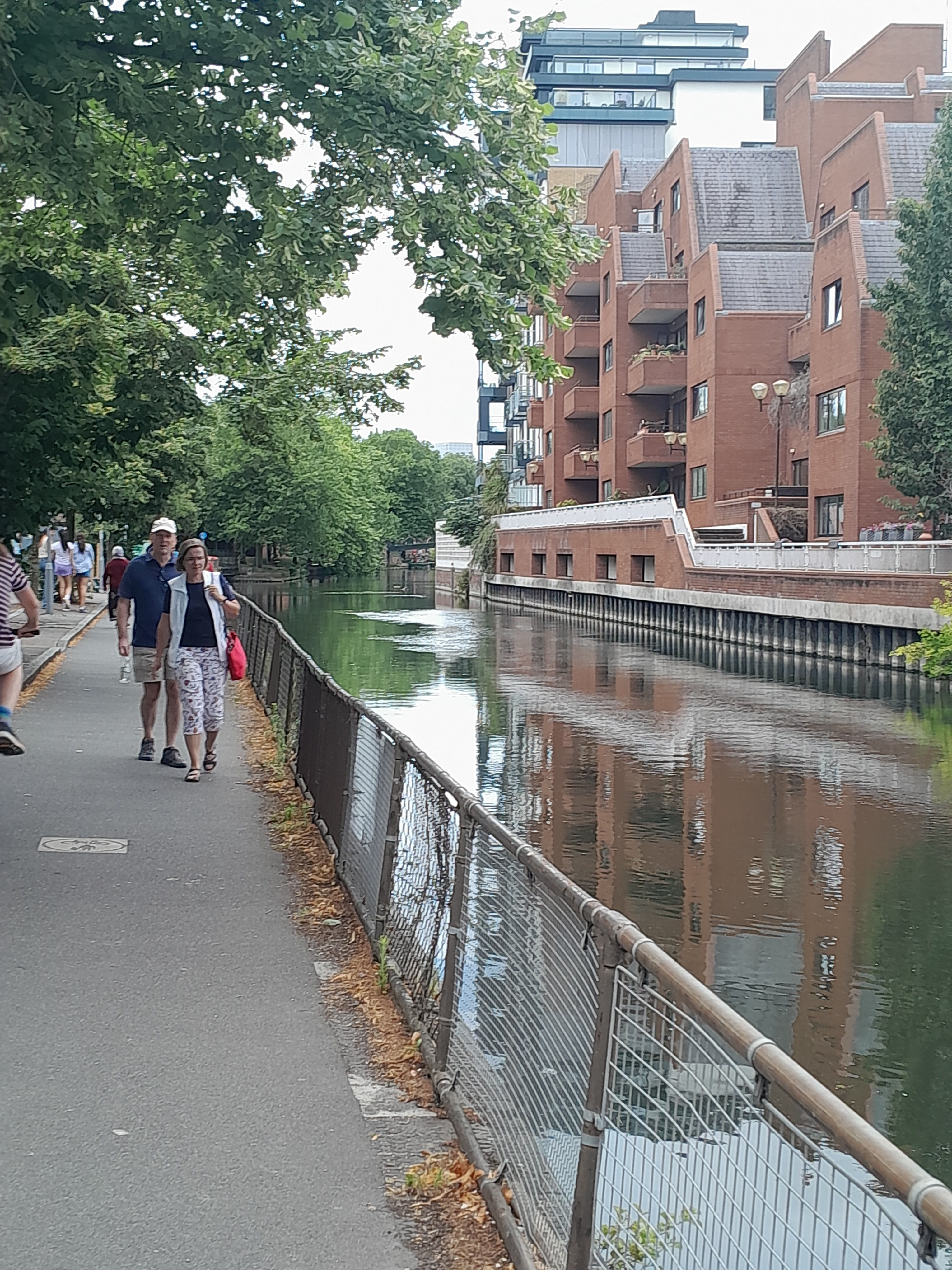
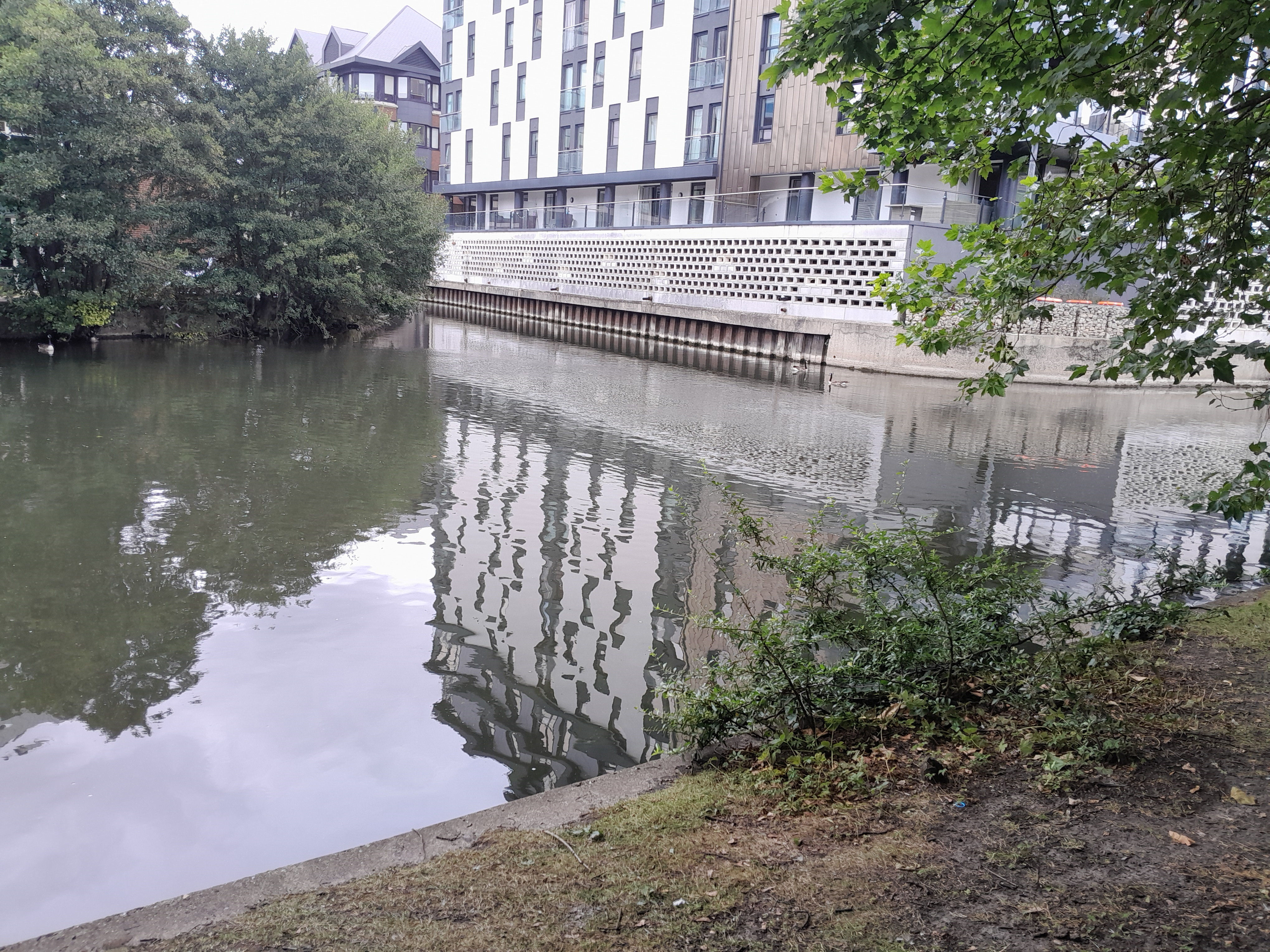
This is the north bank of the Kennet (actually taken on a different day to the walk, but it seems to fit here). It is to the west of Biscuit Island.
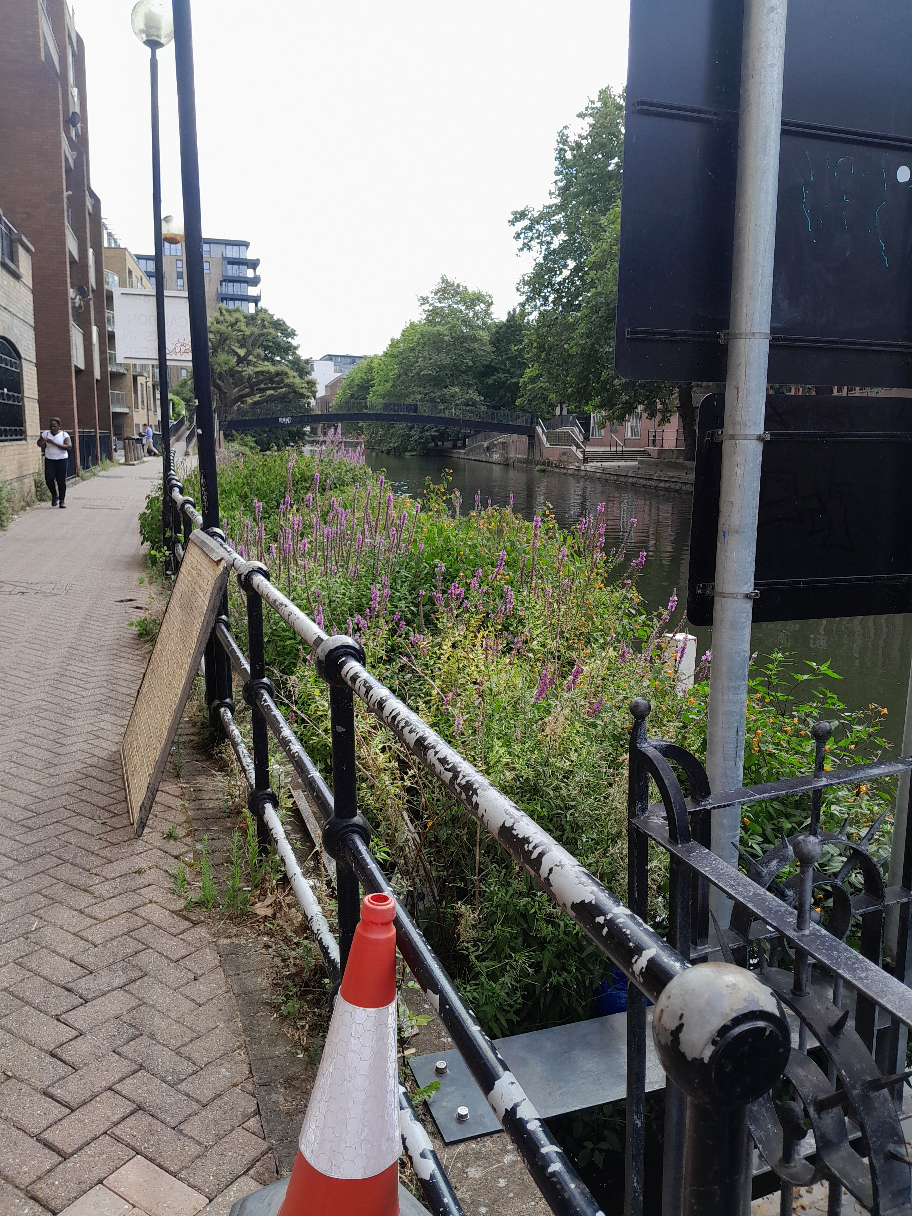
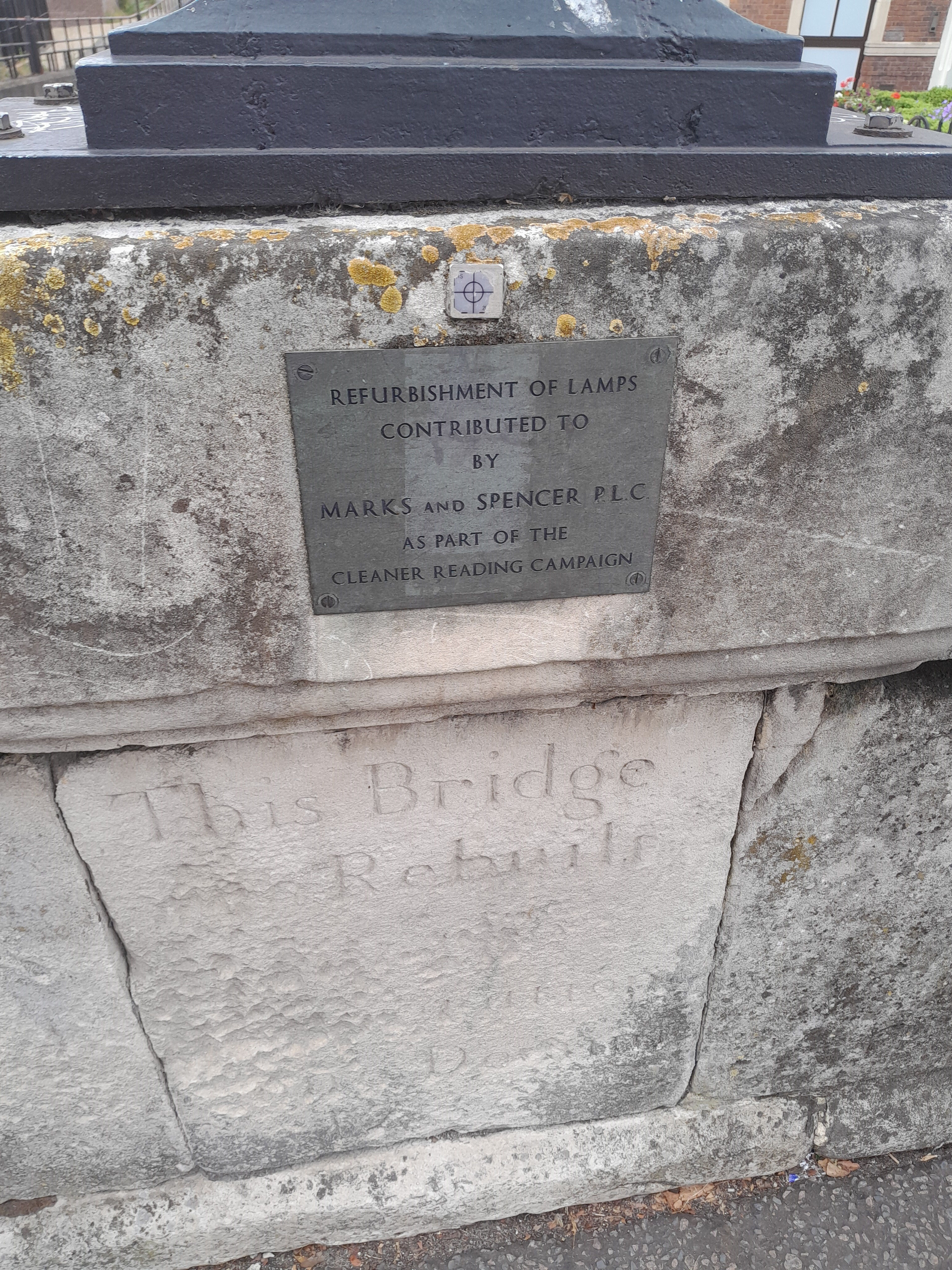
This crosses the Kennet between Duke St and London Street. Grade II. "Graceful design of considerable architectural merit." But a bit tricky to see, sometimes!
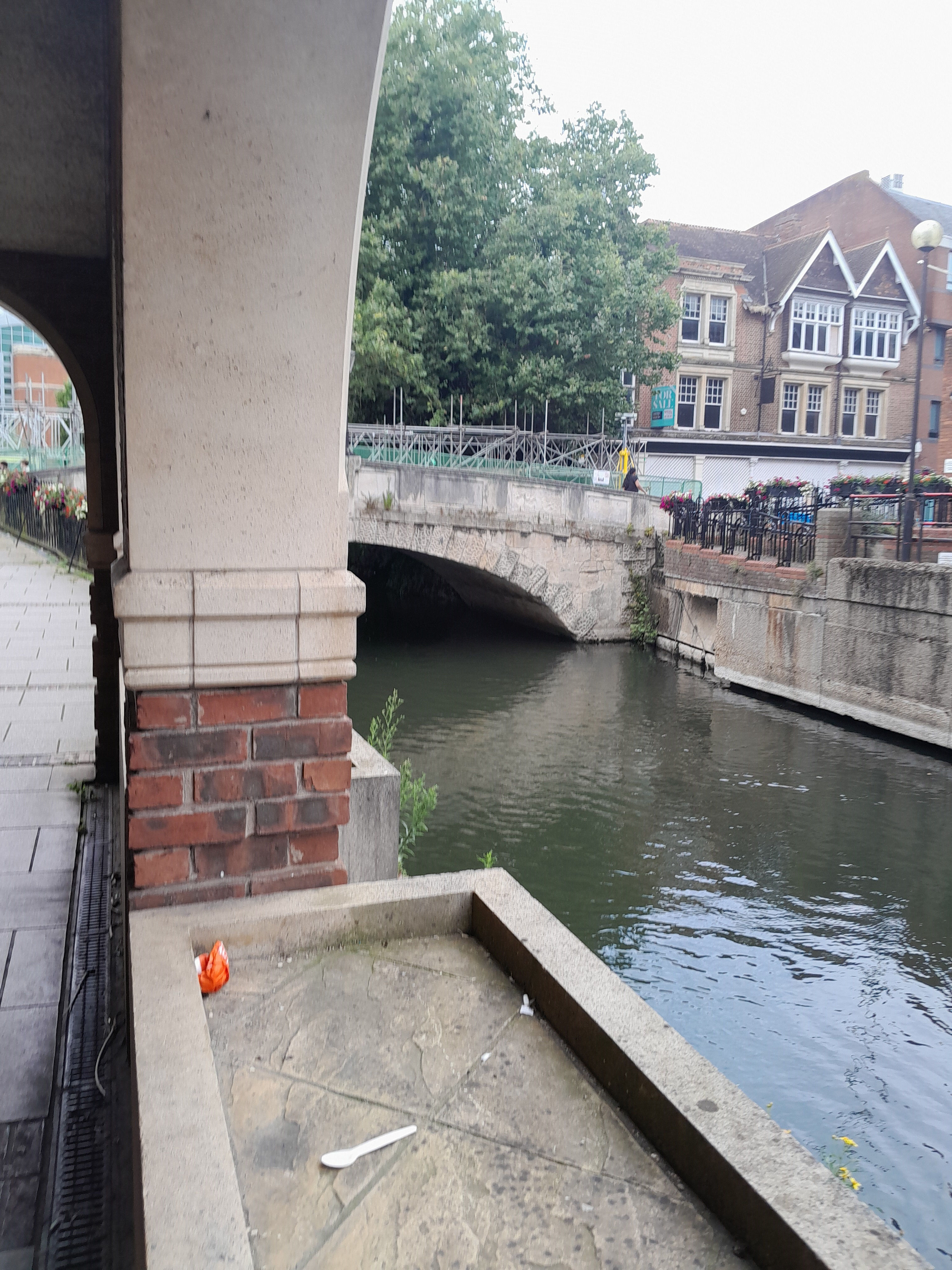
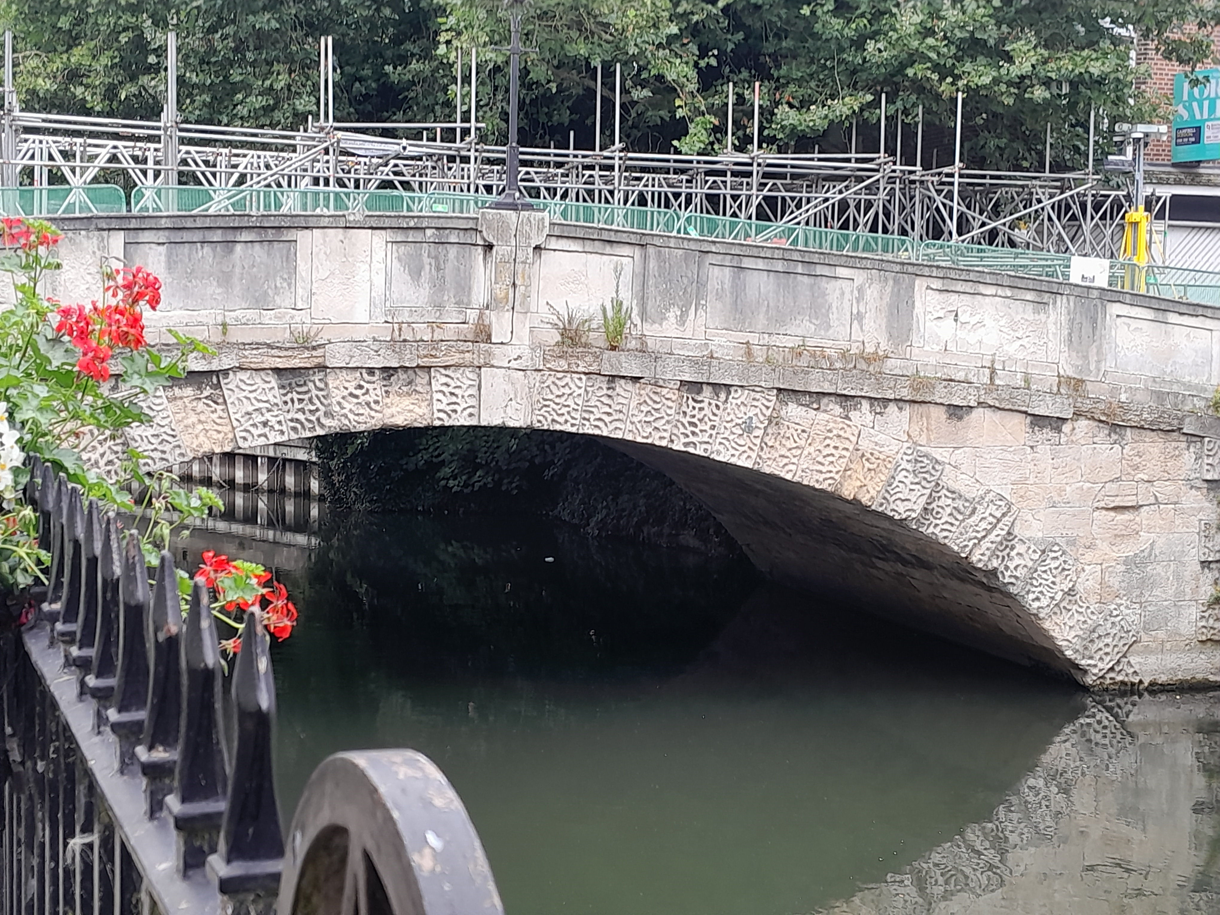
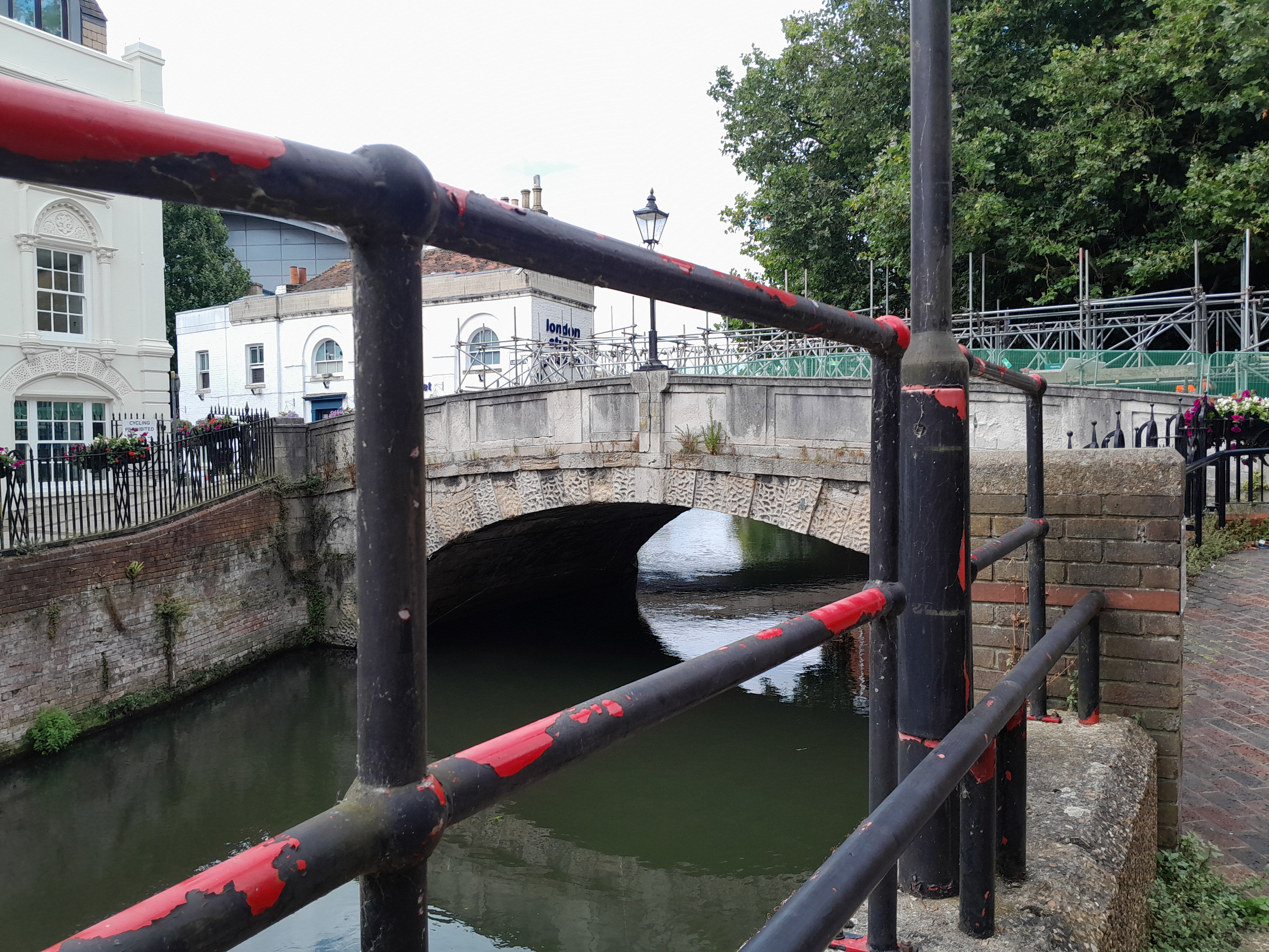
Information on the bridge itself.
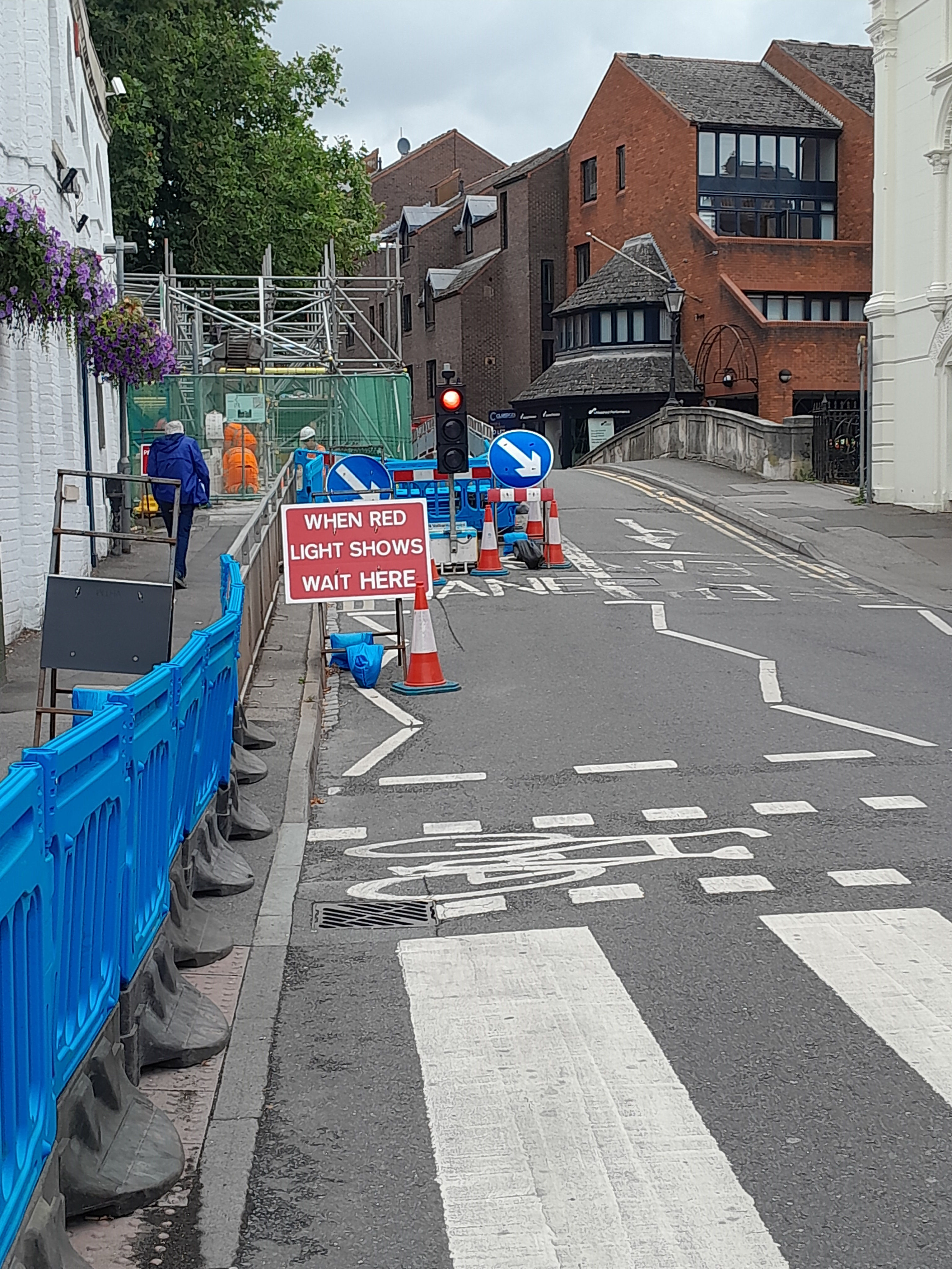
It's called High, but it isn't, really. (Perhaps High means important). So there is a one way system through the bridge (which is to the left of the photo).
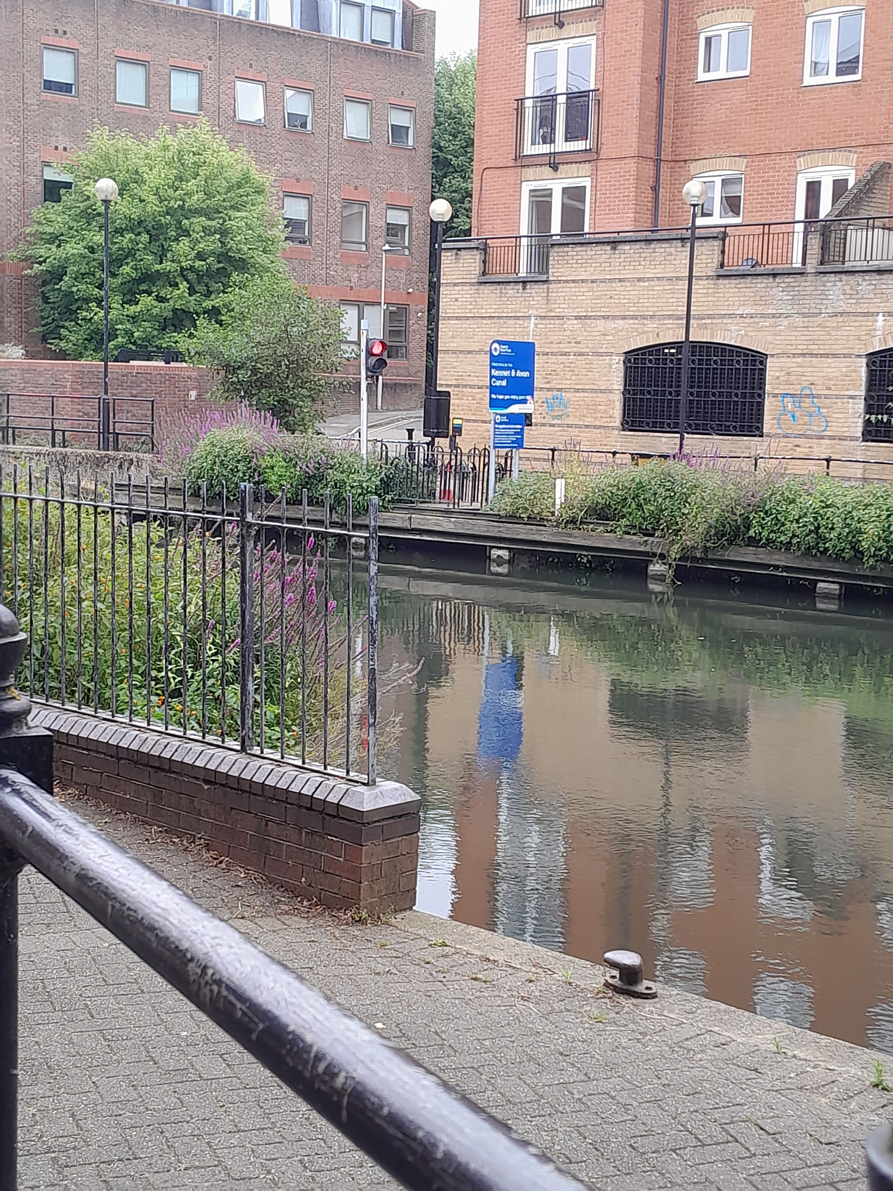
There was building work happening on top of the bridge. It amused me that there was a one-way system here as well!
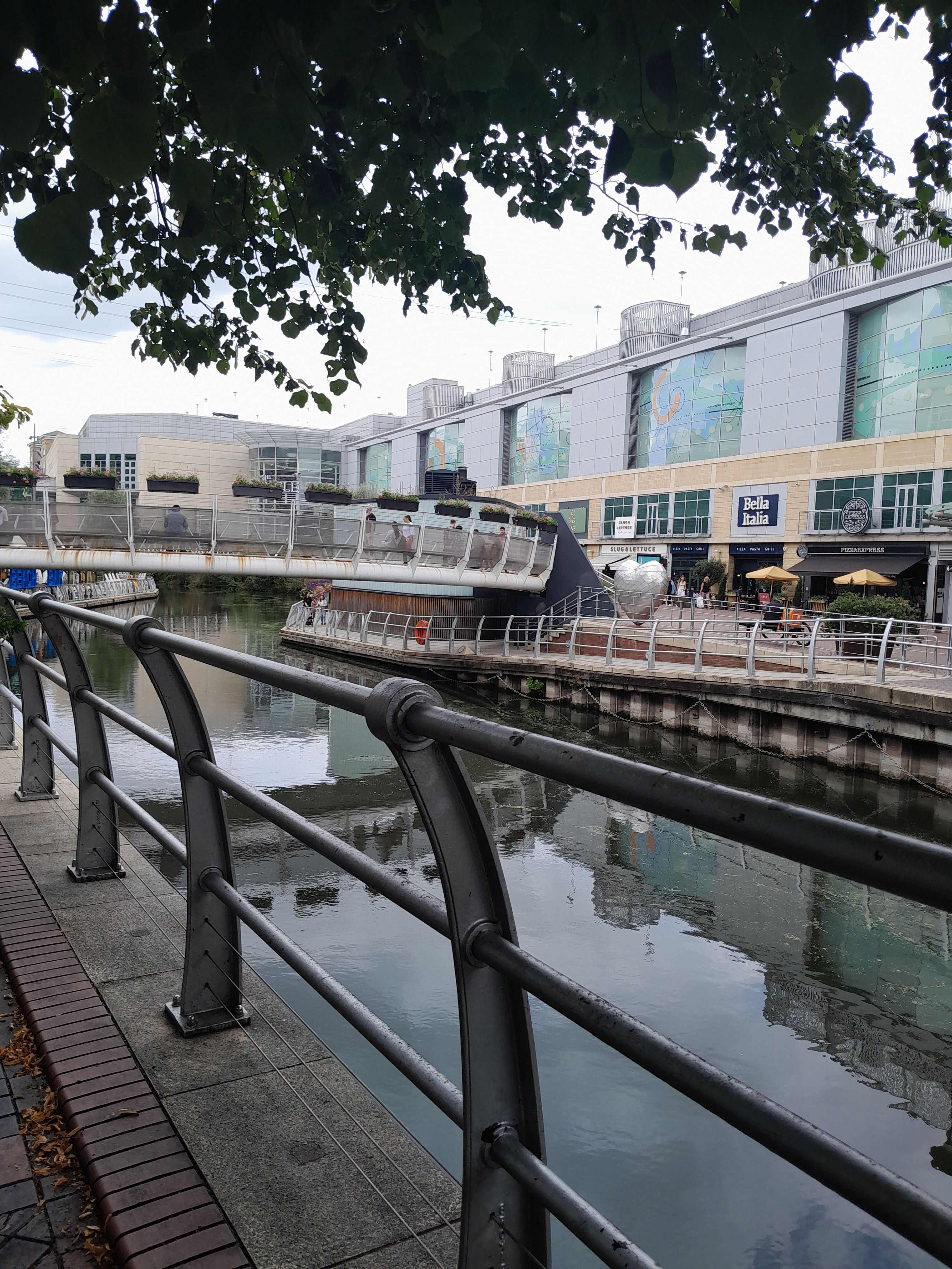
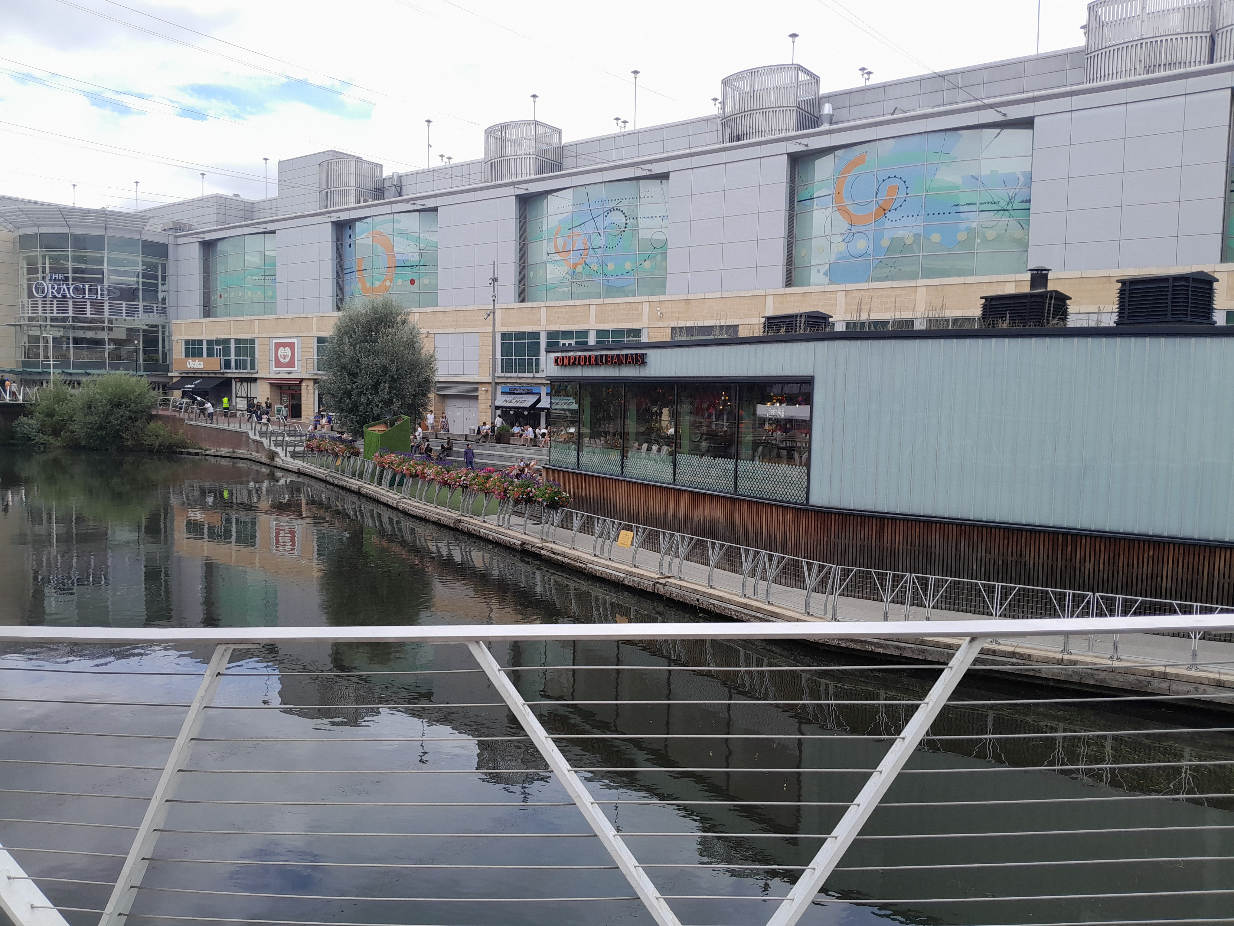
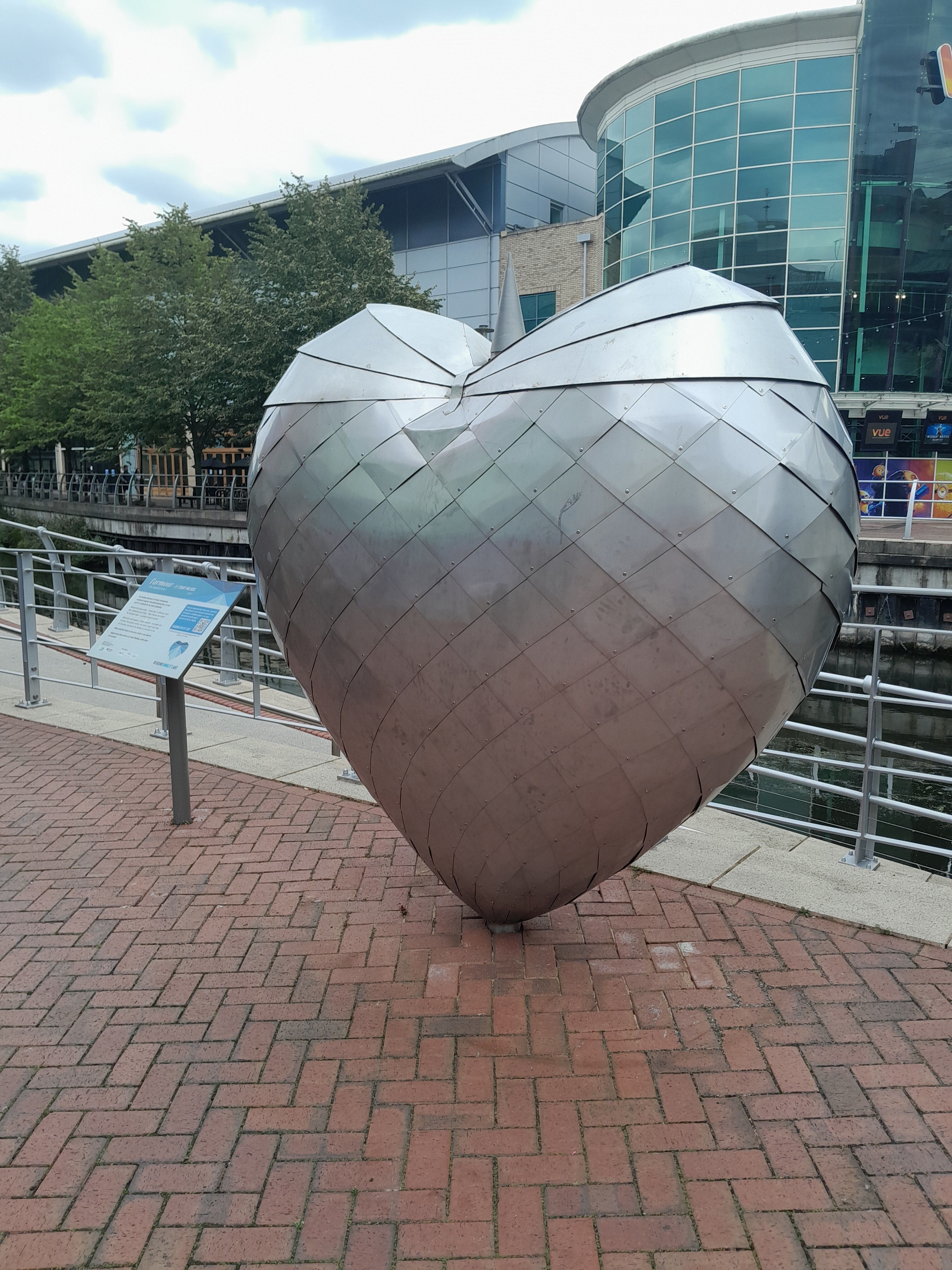
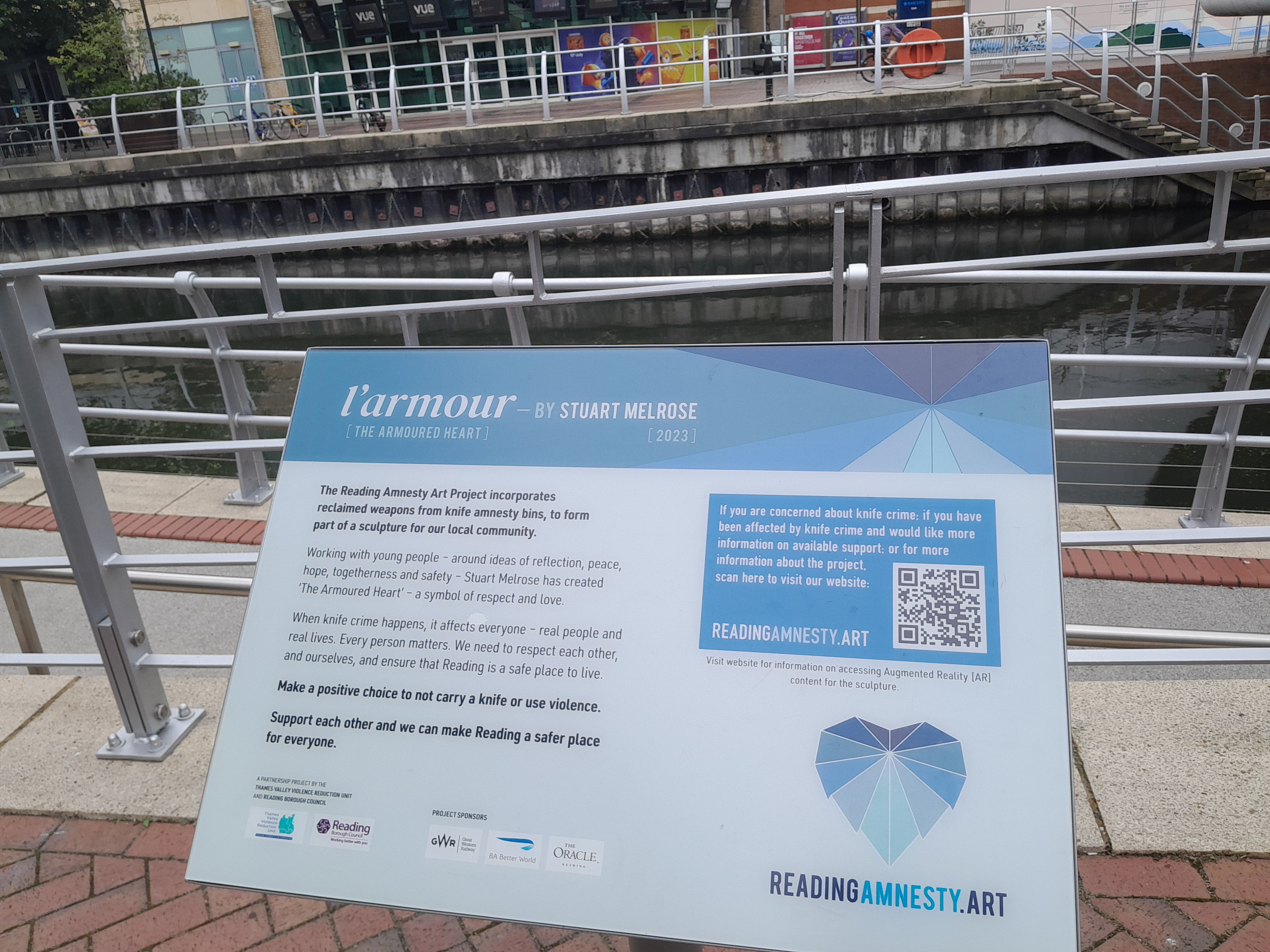
As you walk west along the Kennet, you pass through the Oracle, a shopping mall. There are bridges here, and eating places. You can see L'armour or the armoured heart in the first photo. It is by Stuart Melrose, 2023. It incorporates reclaimed weapons from knife amnesty bins.
© Jo Edkins 2024