| U3AC walks | U3AC walk - Saxon Cambridge |
Route: Quayside, Bridge Street, St John Street, Trinity Street, Kings Parade, St Edwards Passage, Pease Hill, Benet Street, KIngs Lane, Queens Lane, Laundress Lane, Mill Lane, Pembroke Street, Corn Exchange Street, Petty Cury, Hobson Street
Length: 1.5 miles Start: Quayside Finish: Sussex Street
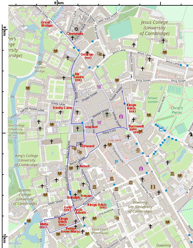
The following map shows locations for the walk, although nearly all has been replaced by subsequent building, and some has disappeared altogether! But we will see where they were.
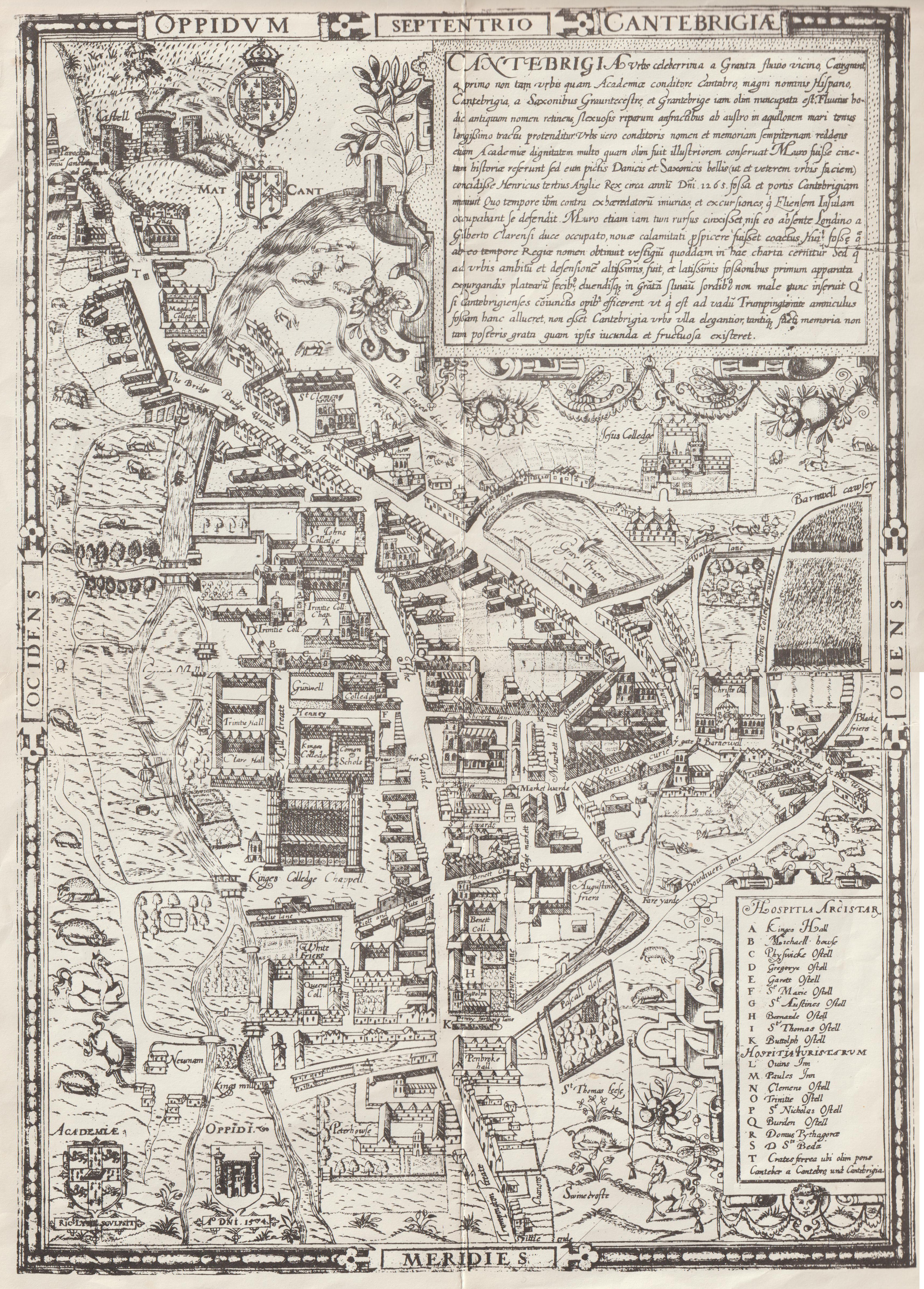
Introduction: The earliest map of Cambridge is dated 1574, which is more than 500 years after Saxon times! (click here if you wish to see this map.) The Museum of Archaeology and Anthropology has a map of what we think Cambridge was like in 1350 - see below. Click on the map for a bigger version.

So we have to find other ways of working out what Saxon Cambridge looked like. One source of information is the Domesday Book, which specifically describes "before 1066". There were ten Saxon wards (administrative areas), with three up Castle Hill and seven by the river. It seems likely that each ward had a church, and there are seven churches which are thought to have a Saxon foundation. It also seems likely that Trinity Street (etc) was Saxon, as it goes past several Saxon churches. The mills may be Saxon. The "Great Bridge" and the market are known to be Saxon. The Kings Ditch may date back to Saxon times, as they have found 11C-12C pottery there in an archaeological dig.See bottom of this webpage for my references. I mention medieval roads at several points. These may be Saxon, or may not. The following map shows where these all are. Red is Saxon, purple is Roman, blue is the Kings Ditch, salmon is Norman (or later).
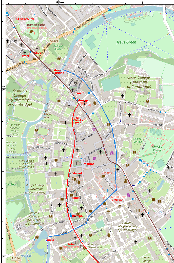
The Romans had a military camp up Castle Hill, and one of the main roads through Cambridge is Roman. Now it is called Huntingdon Road, Castle Street, Magdalene Street, Bridge Street, Sidney Street, St Andrews Street, Regent Street, Hills Road, and onwards. It is (mostly) straight.
The Saxons, and then the Danes, preferred to settle by the river. There was a flourishing trade along the river, right to the sea and beyond. That made the crossing point of the river and the Roman road important. The Saxons built a bridge here, and in medieval times it was called the Great Bridge. (The current bridge was built in 1823.)
It's worth mentioning that one thing the Saxons gave us was the name of Cambridge and the name of the river, but not directly. The Saxons called it "Grantebrycge" (or Granta-bridge). The Domesday Book called it "Grentebrige", but this gradually changed to Cambridge. The river was still called the Granta, and at some point this was thought silly, so they changed the name of the river as well!

The Normans built their castle at the top of the hill. There remained two settlements in Cambridge, one on top of the hill, and a bigger one by the river, for some time. There were three Saxon churches on the hill, St Peters, St Giles and All Saints-by-the-castle. That All Saints church has disappeared (perhaps when the castle was built). Cambridge-on-the-hill was badly hit by the Black Death, and so Cambridge became just the settlement by the river. This had seven wards in Saxon times, with seven churches.
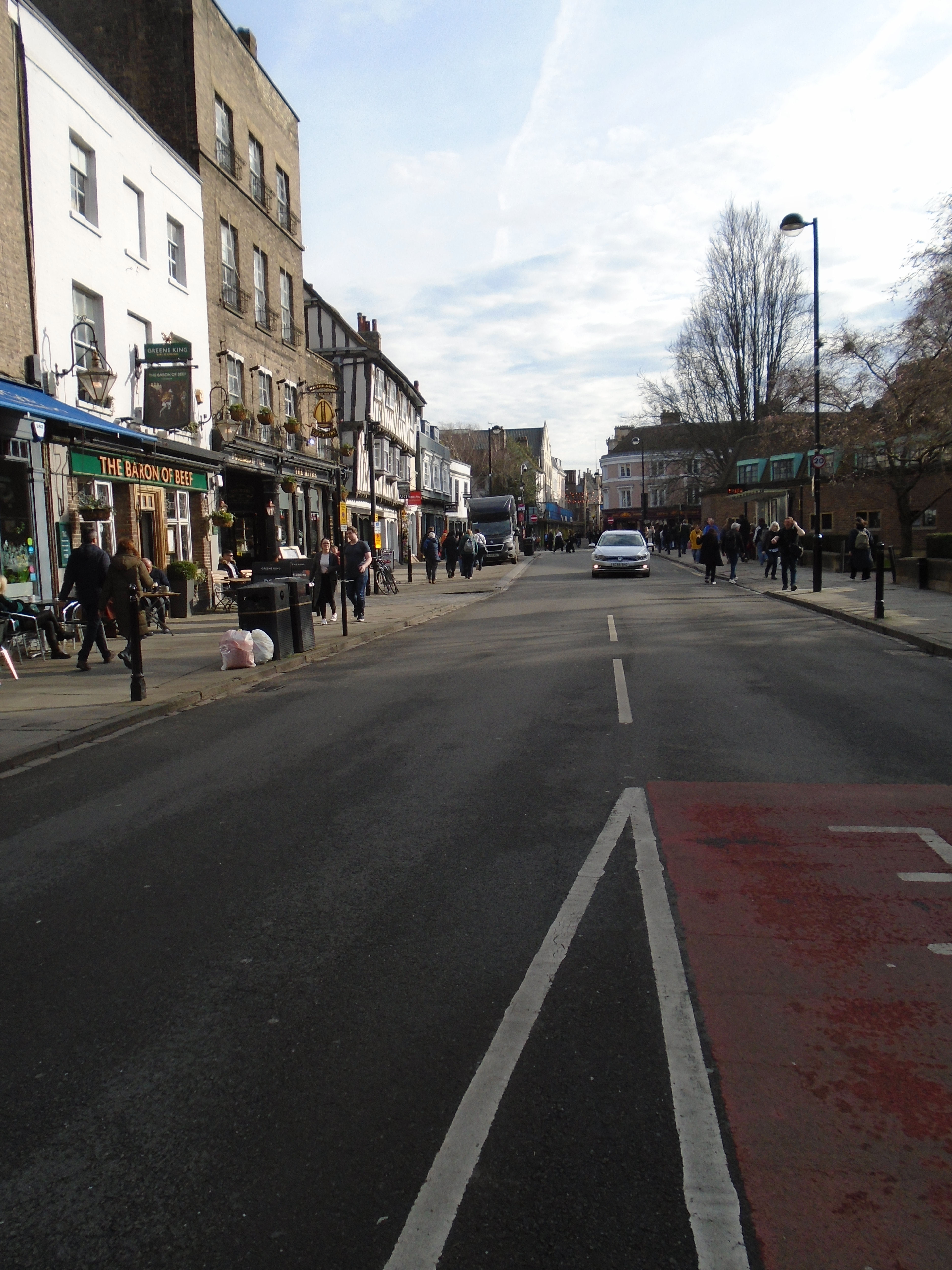
We are not climbing up Castle Hill. Instead we start walking along the Roman Road - Bridge Street. It is not quite straight, but nearly.

On our left is St Clements. St Clement is patron saint of mariners, and is connected with Danish churches (such as St Clements Dane in London). Cambridge was in the Danelaw (the part of England under Danish rule). The Danes settled round Quayside. It seems likely that they had a church here called St Clements. So this is Saxon (or rather Anglo-Danish) church number one on our walk. This particular church was built in the second half of the C13 and restored several times since.

The Round Church is definitely not Saxon! To quote the British History Online source (see bottom of page) "At some date between 1114 and 1130 Reinald, Abbot of Ramsey, granted to the members of the fraternity of the Holy Sepulchre the graveyard of St. George's church and land adjoining to build thereon a 'monasterium' in honour of God and the Holy Sepulchre, always provided that the church of Ramsey retained its rights there. It seems that Ramsey had been the patron of an earlier church of St. George, but no other mention of it is known." So the earlier church of St George was near here, and that was Saxon church number two.

This was a major road junction. The Roman road continues straight on, but we are following the road off to our right. It seems likely that this is the Saxon road, following the path of the river, but not too close (presumably in case it flooded!) In medieval times, this was called High Warde, and was considered to be the road to London. Now it is called St John St, Trinity St, Senate House Hill, Kings Parade, Trumpington Street, and so on. You can see that it wiggles, unlike the straight Roman road.


Opposite St Johns gatehouse, there is a small park. There used to be a church here called All Saints in Jewry (because the Jews used to live here before they were expelled from Cambridge in 1275). The church made the road too narrow (see above!) so in 1865, it was demolished and the parish moved to a new church in Jesus Lane. However, the foundation of the original church was Saxon church number three.
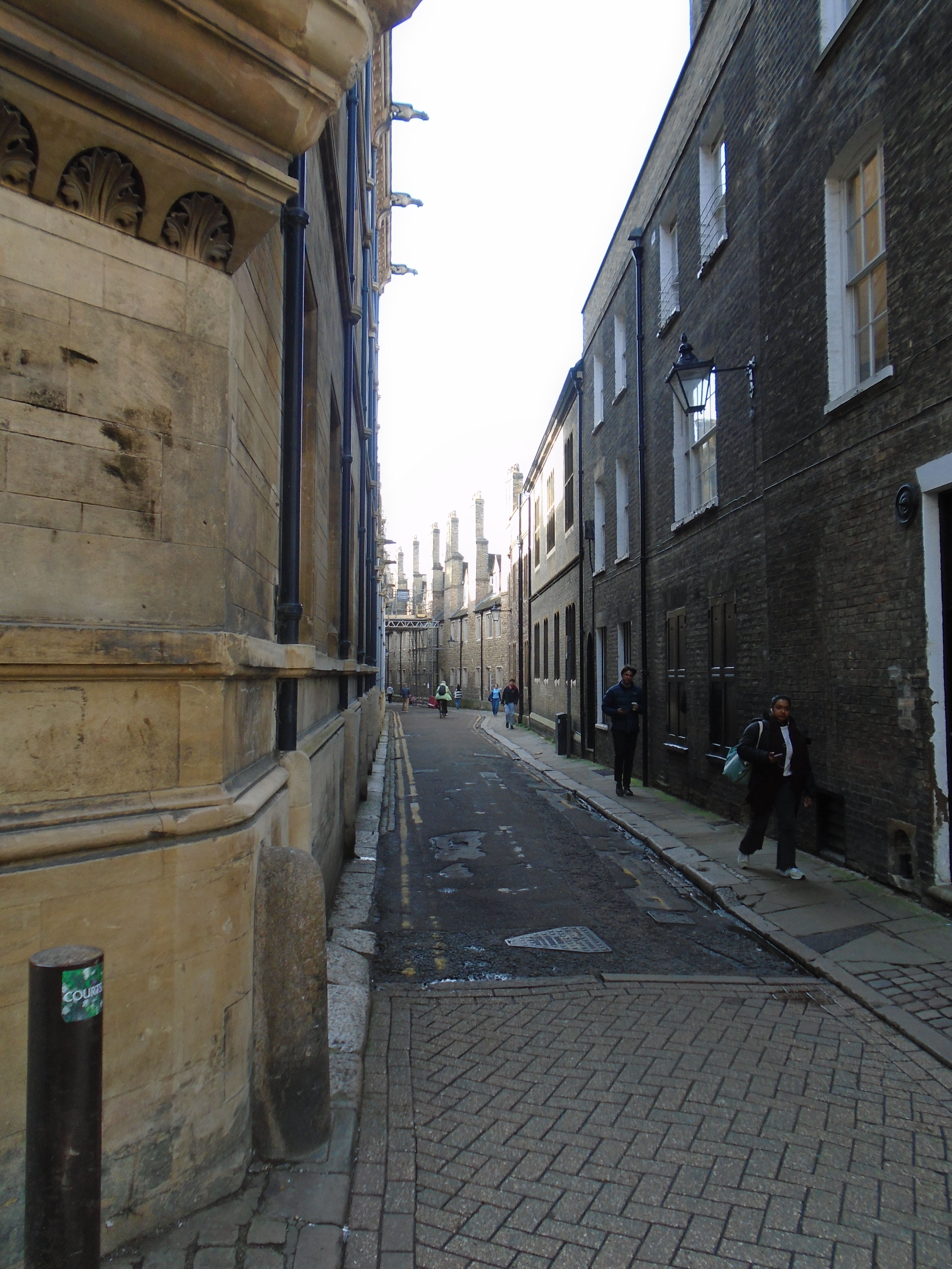
In medieval times, there were boats unloading right along the river, not just at Quayside. There was a street between High Warde and the river to service the wharves. This was called Mill Street, probably because it led to a mill (see later). It is now Trinity Lane, and (further on) Queens Lane. In 1446, land was cleared for the building of Kings College Chapel. This involved demolishing houses and a church called St John Zachary. This broke Mill Street into two parts, which is how it remains.
However, we stay on High Warde and continue past St Michaels, which is a medieval church, built around 1327 partly as a chapel for Michaelhouse, an early college. But it isn't Saxon.

Turn left at Great St Marys (another medieval, non-Saxon church) to enter the market place. There was an active market here in 973, although it may have occupied different areas at different times.
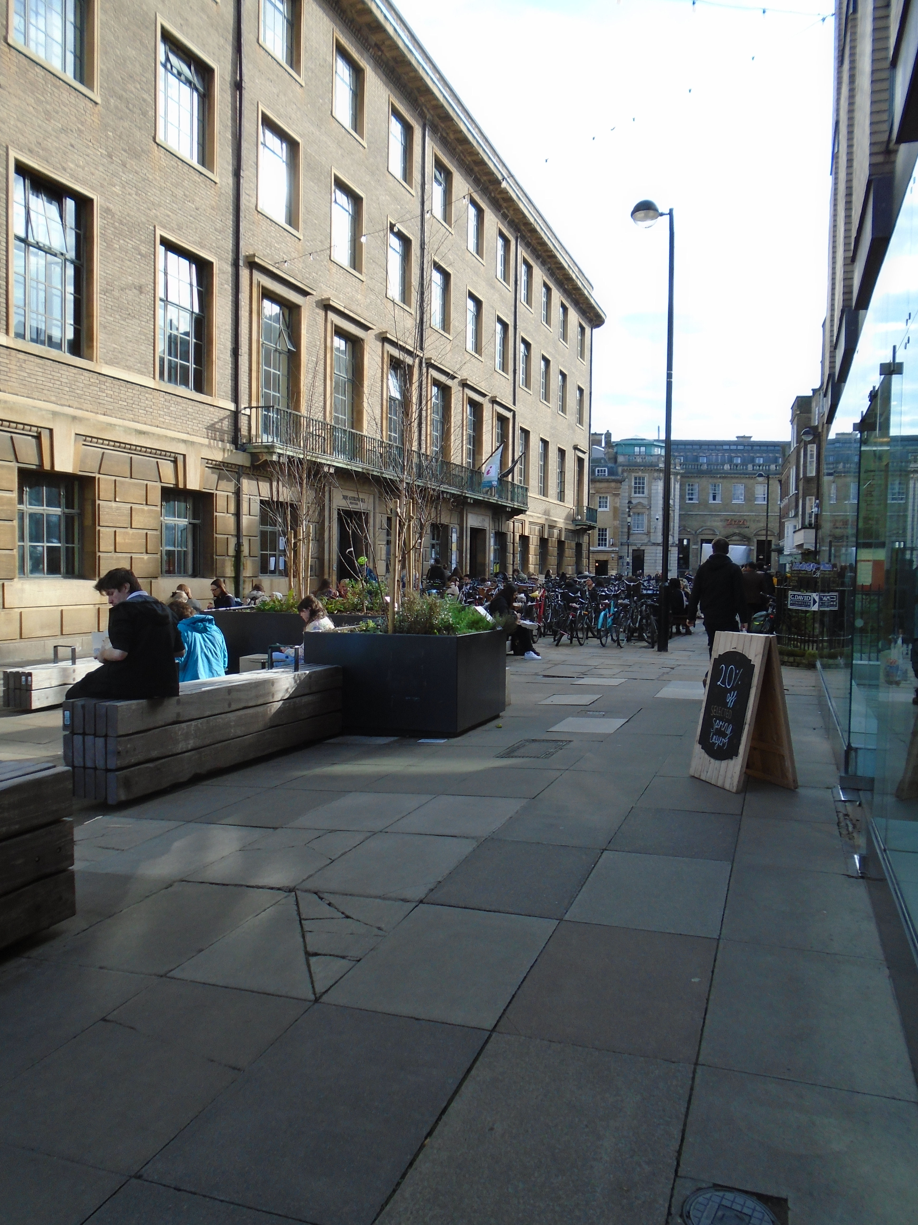
Carry on walking towards the Guildhall, and take the road to the right of it. This is Peas Hill, a street name describing part of the medieval market (probably fish rather than peas).
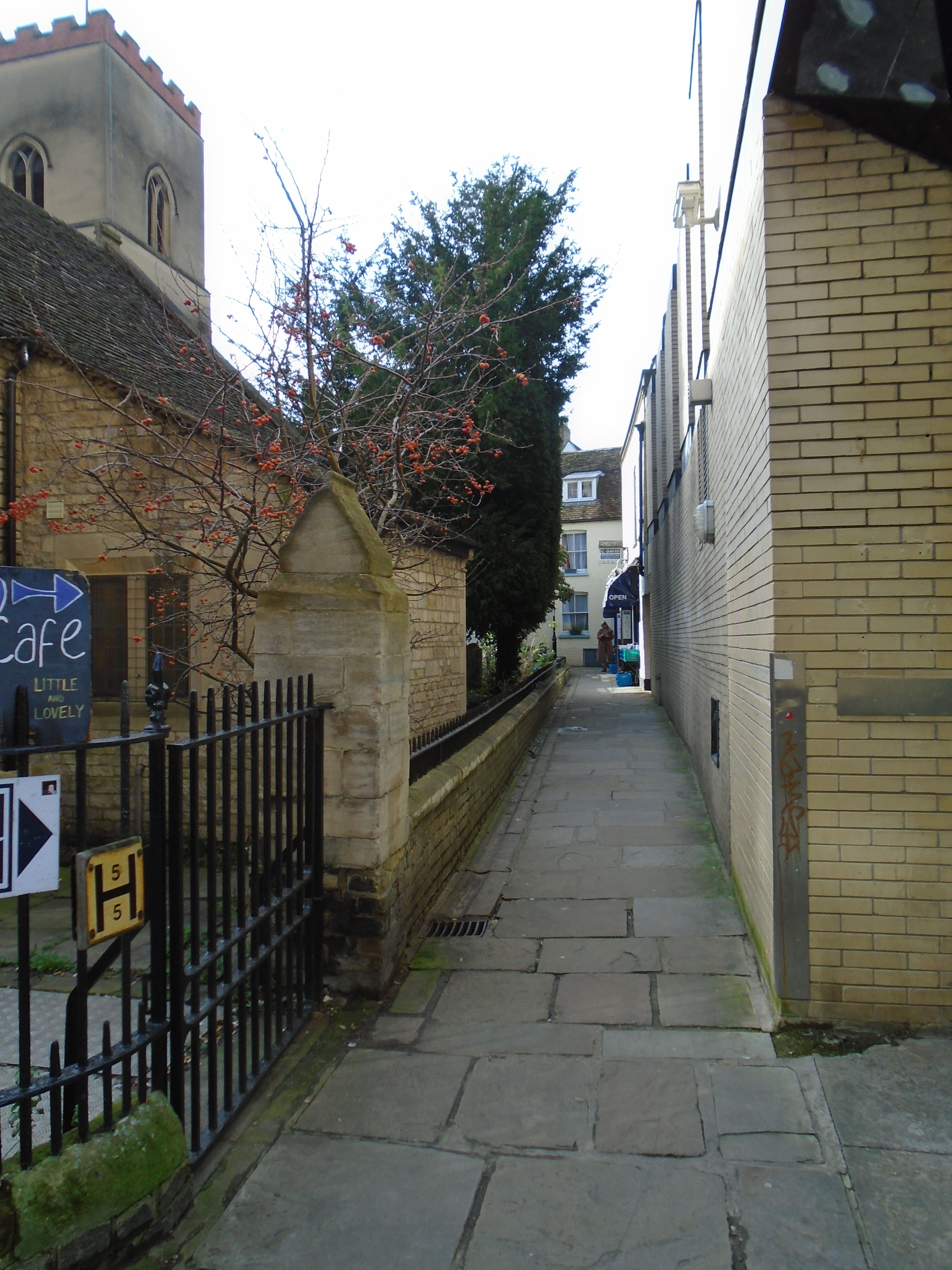
Turn right into St Edwards Passage . Both Peas Hill and St Edwards Passage were medieval.
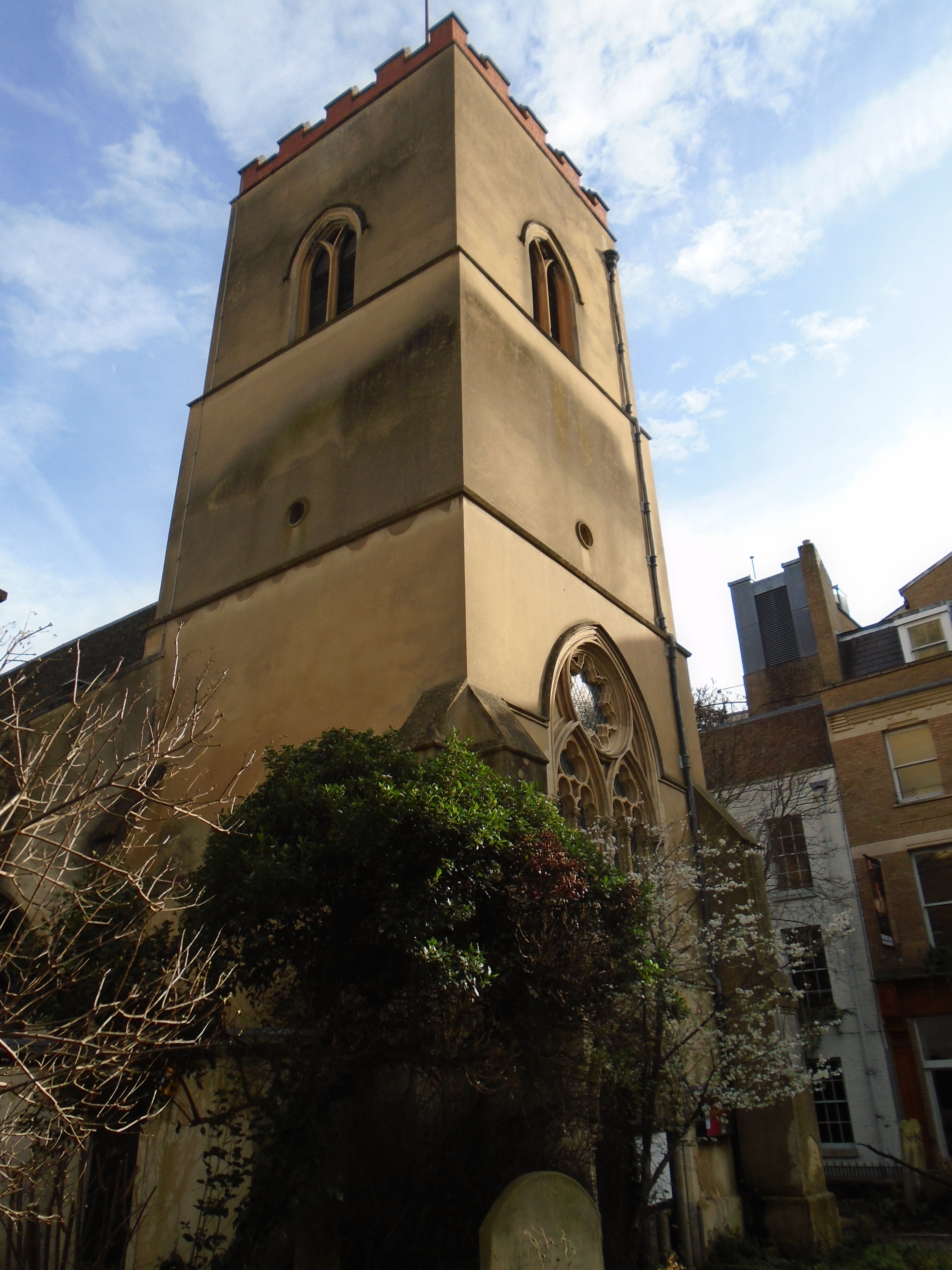
You will see this church on your right. This is dedicated to St Edward, King and Martyr, a Saxon saint. So this is another church founded by the Saxons, number four. Edward was King of the English from 975 until he was murdered in 978. He was considered to be a martyr, and so made a saint. Despite the rather startling brick parapet on top of the tower, this particular church dates back to the early 13th century.
Carry on through St Edwards Passage to return to High Warde (Kings Parade), and turn left.

St Botolphs church is another Saxon foundation. This building dates from 1350. The church is dedicated to St Botolph, another Saxon saint, so this was originally church number five. He was a seventh century abbot in East Anglia, and is the patron saint of travellers, because it was near Trumpington Gate. We'll find out more about this later.
Cross the road at the pedestrian crossing.

St Mary the Less was originally a Saxon church called St Peter Without The Gate (to distinguish it from St Peter near the castle) - church number six. We'll find out about The Gate later. This church used to be the chapel for Peterhouse college (which explains Peterhouse's name - it's similar to the old college Michaelhouse connected with the church of St Michael). This church was mostly built between 1340 and 1352, and rededicated to St Mary. The name distinguishes it from Great St Mary.
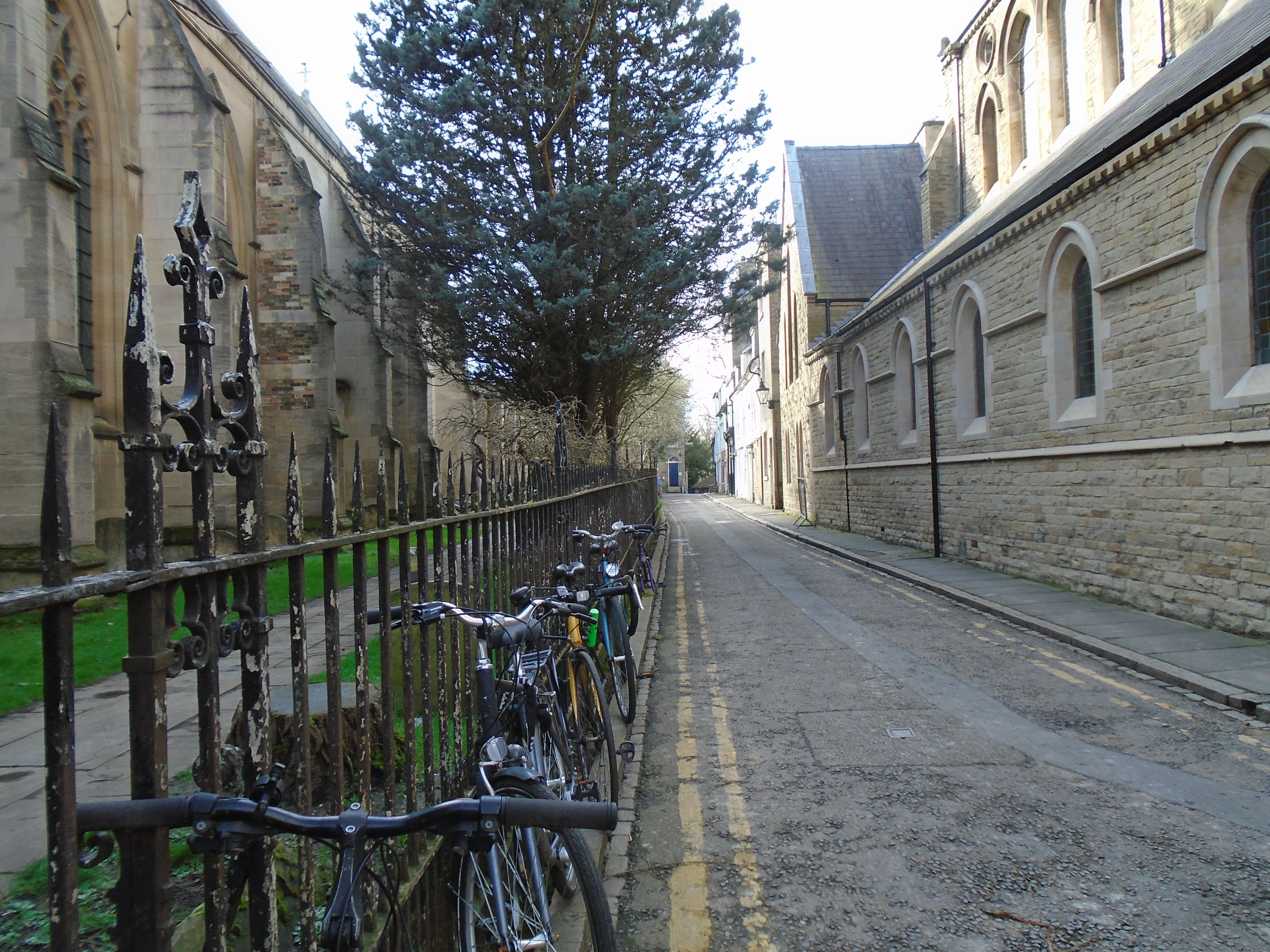
Walk down Little St Marys Lane. Turn right at the bottom and walk to the river.
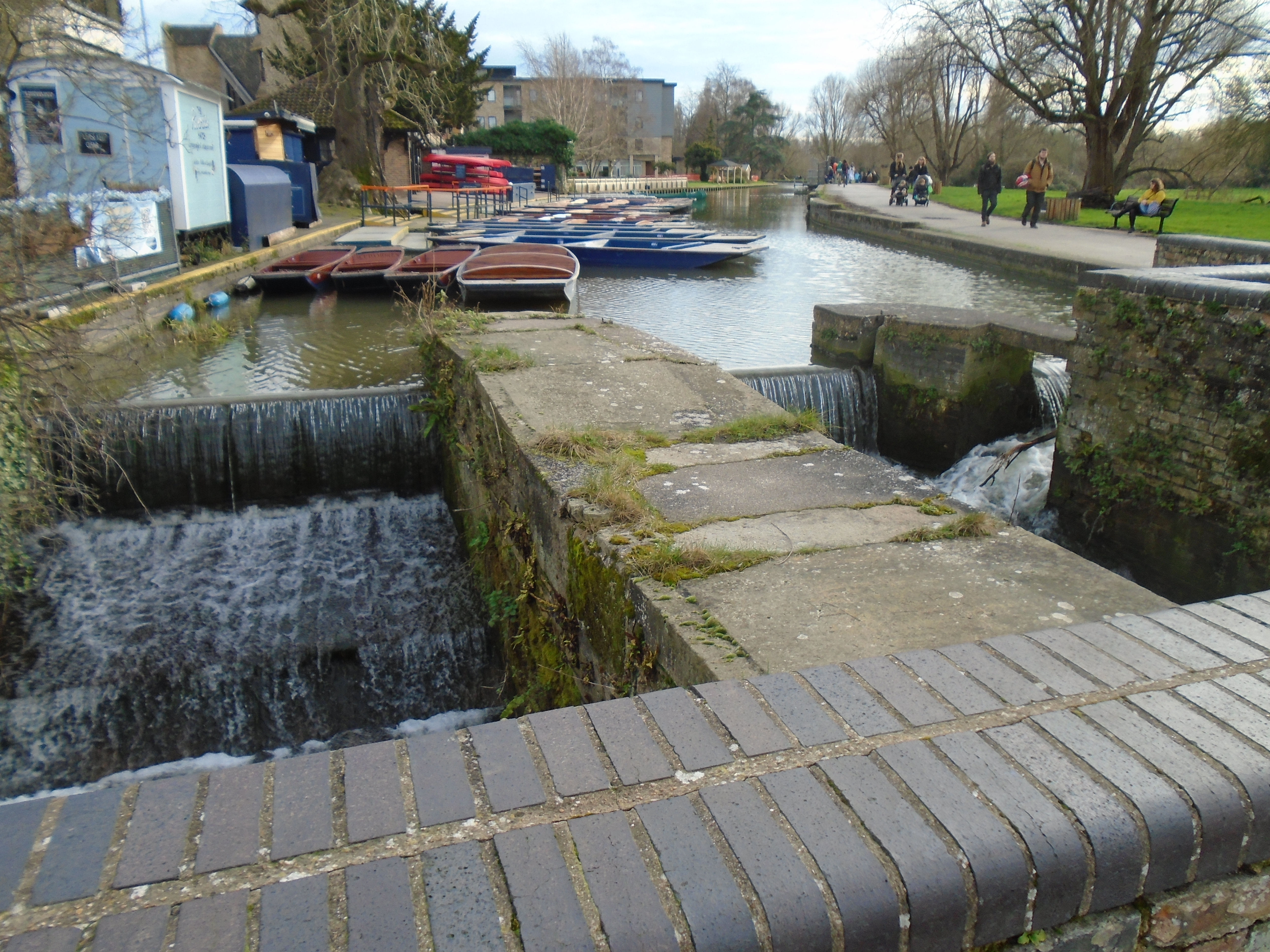
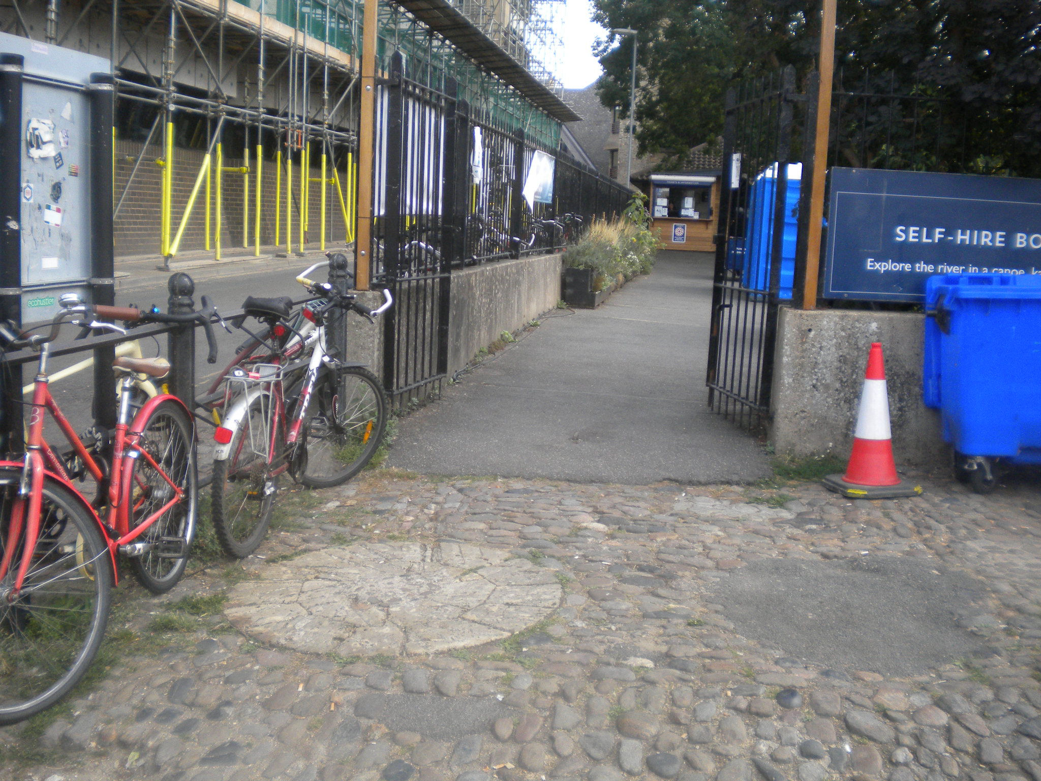

The river is rather complicated at this point. Laundress Green is actually an island. The near branch of the river has a weir. This is the mill race for not one but two mills, called Kings Mill and Bishops Mill, which were demolished in the twentieth century. The photograph above is dated 1924. The Domesday Book says "Picot himself [Sheriff of Cambridge ] has made 3 mills there which diminish the pasture and which have destroyed many houses. Also a mill of the Abbot of Ely, and another of Count Alan. The mills themselves pay £9 a year." It seems likely that these are two of the mills, since they are close to Cambridge, but there was river navigation below them. It sounds as if local people didn't like Picot! However, the Domesday book doesn't mention if the Saxons had a mill here beforehand. It seems possible.
Cambridge never had walls, but it did have fortifications. The river protects the west side of the town. A ditch was dug, starting from the river near the mills, and moving east, to protect the east side of the town. It was called Kings Ditch after Henry III paid to improve it, but it's older than that. Below are some finds from the archaeological dig before John Lewis was built (see map). This found some 11th or 12th century pottery sherds where the Kings Ditch used to be.


So it is at least Norman, and possibly dates back to Saxon times (which is the excuse to add it to this walk!) It's hard to figure out how the ditch could ever have had flowing water, as the centre of it is higher than either end! It became fetid. Various attempts were made to keep it clean. A statute of 1388 ordered the King's Ditch should be cleared of "dung and filth of garbage and entrails, as well of beasts killed, as of other corruptions". In 1502, three heads of Colleges were fined by the Town Court for having "privvies" (toilets) overhanging the Ditch. Even Hobsons Conduit (1614) was originally designed partly to flush out the ditch (as well as the more important job of providing a water supply for Cambridge). Eventually, everyone gave up and filled it in. The only bit left as a ditch is, apparently, in Sidney Sussex college.
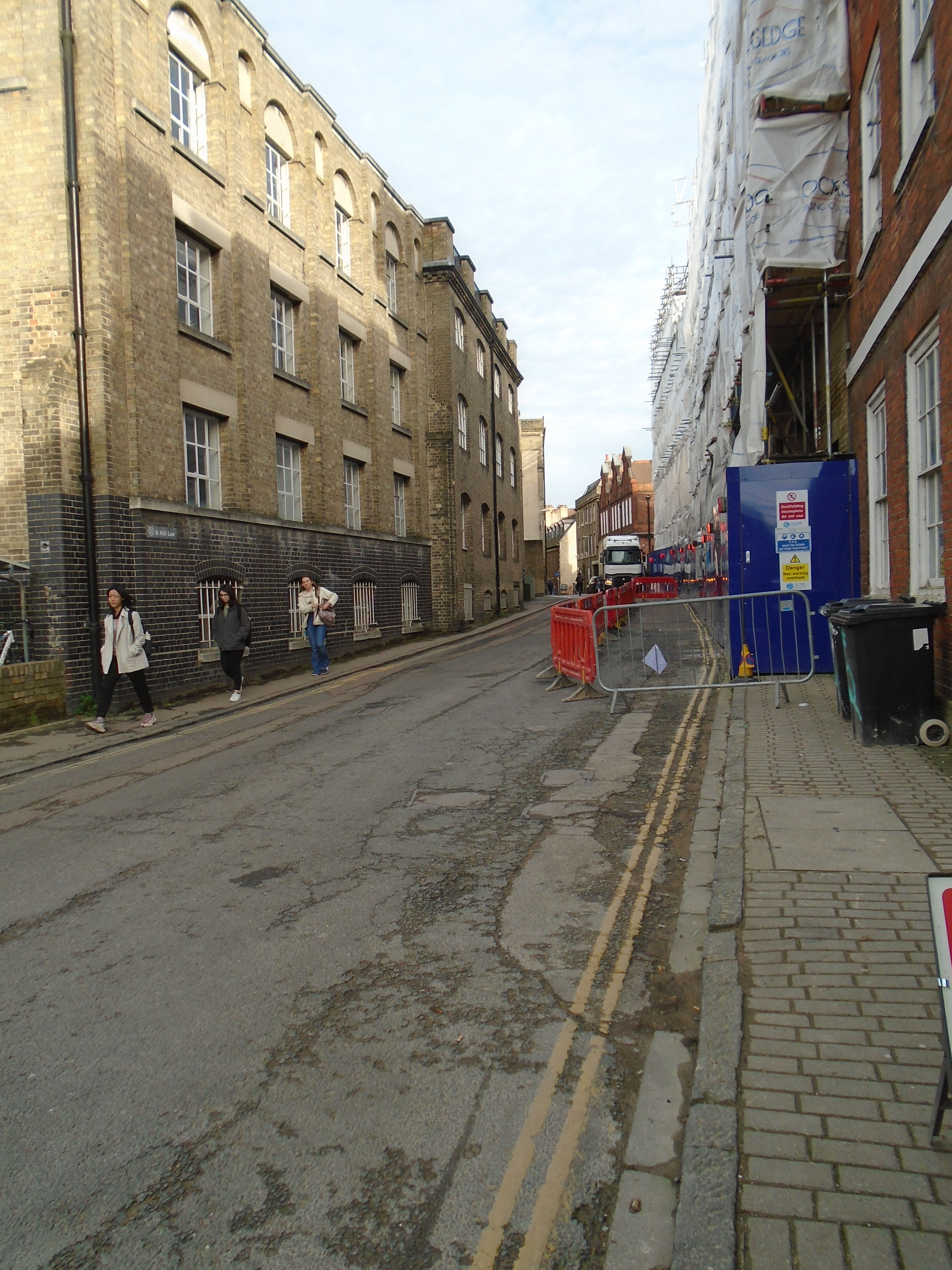
However, various Cambridge roads trace the route of the Kings Ditch. We know that the ditch went along the current route of Mill Lane. Walk along Mill Lane until you meet Trumpington Street.
The Trumpington Gate, part of the medieval fortifications, was at this junction. It is where the Kings Ditch (the fortification) crossed the Saxon road, which was the main road to London (Trumpington Street). St Botolph, on our left, is inside the fortification, and Little St Mary, on our right, was outside.
I strongly suggest that you cross Trumpington Street using the crossing!

Walk down Pembroke Street, which is still along the course of the Kings Ditch.

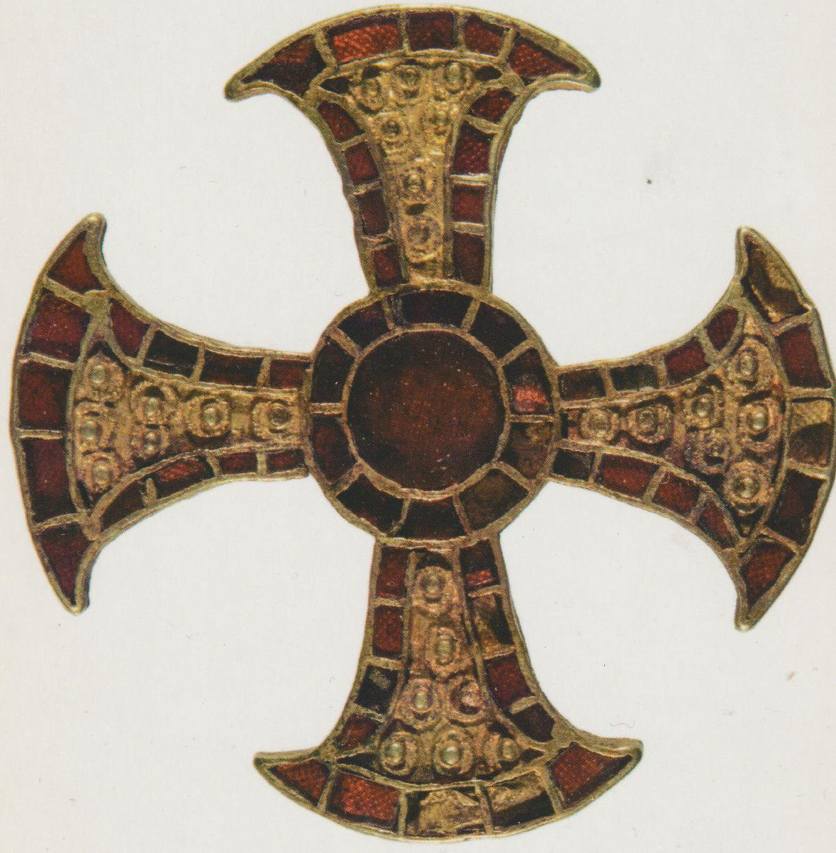
On your right is the Museum of Archaeology and Anthropology. We're not going in there, but it's worth a visit! It has local archaeology (on the ground floor) including this gold and garnet pectoral cross, which is Anglo-Saxon, 7th century, found in Trumpington in 2011. It is 3.4 cm across. See Wikipedia article.
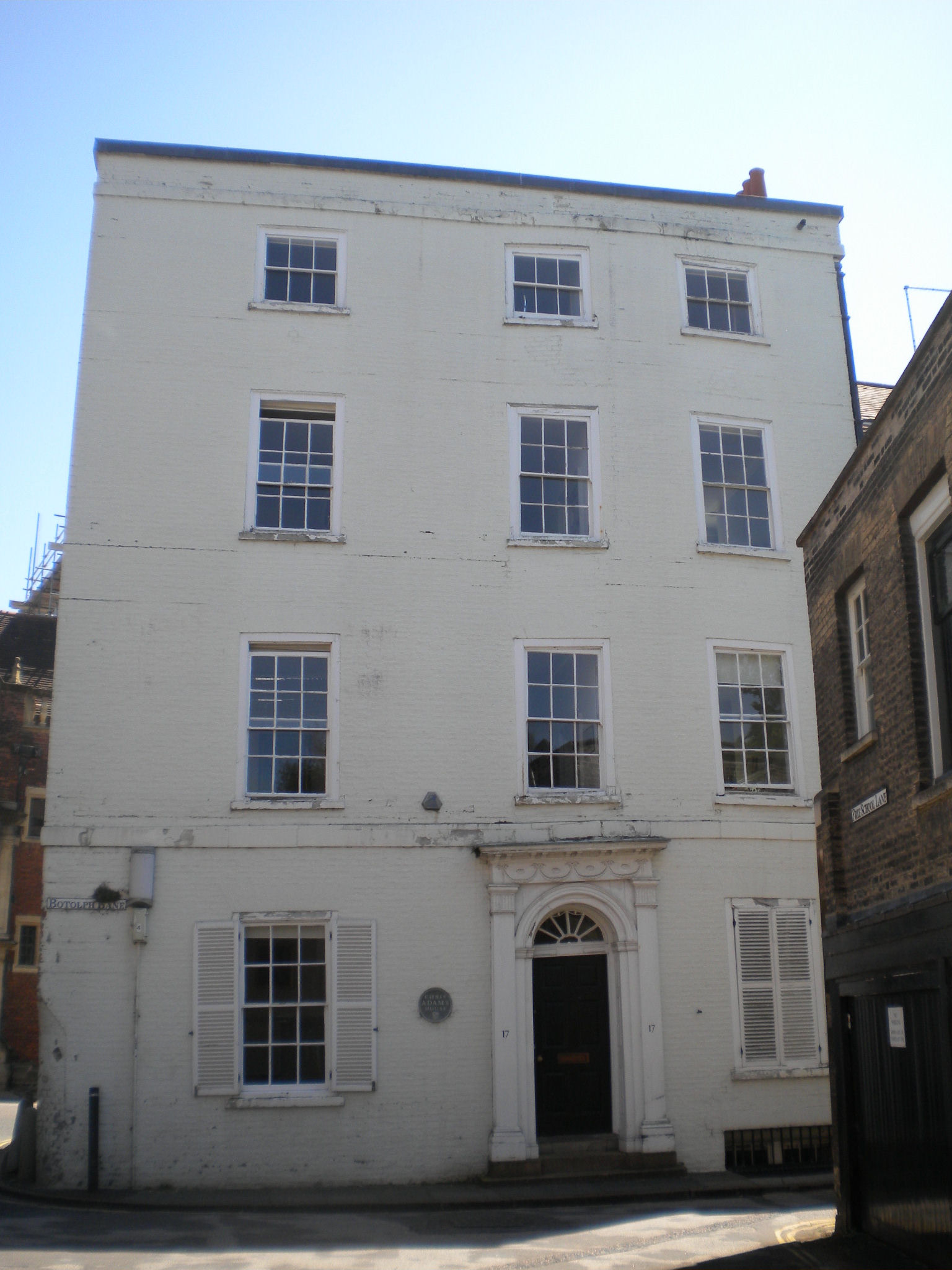
Turn left into Free School Lane, and look immediately on your left at the white building. It is dated about 1790, but there is something else interesting about it. You can see the sagging above the door and some of the windows. The map shows that the King's Ditch went right under the house, and this has caused subsidence problems.


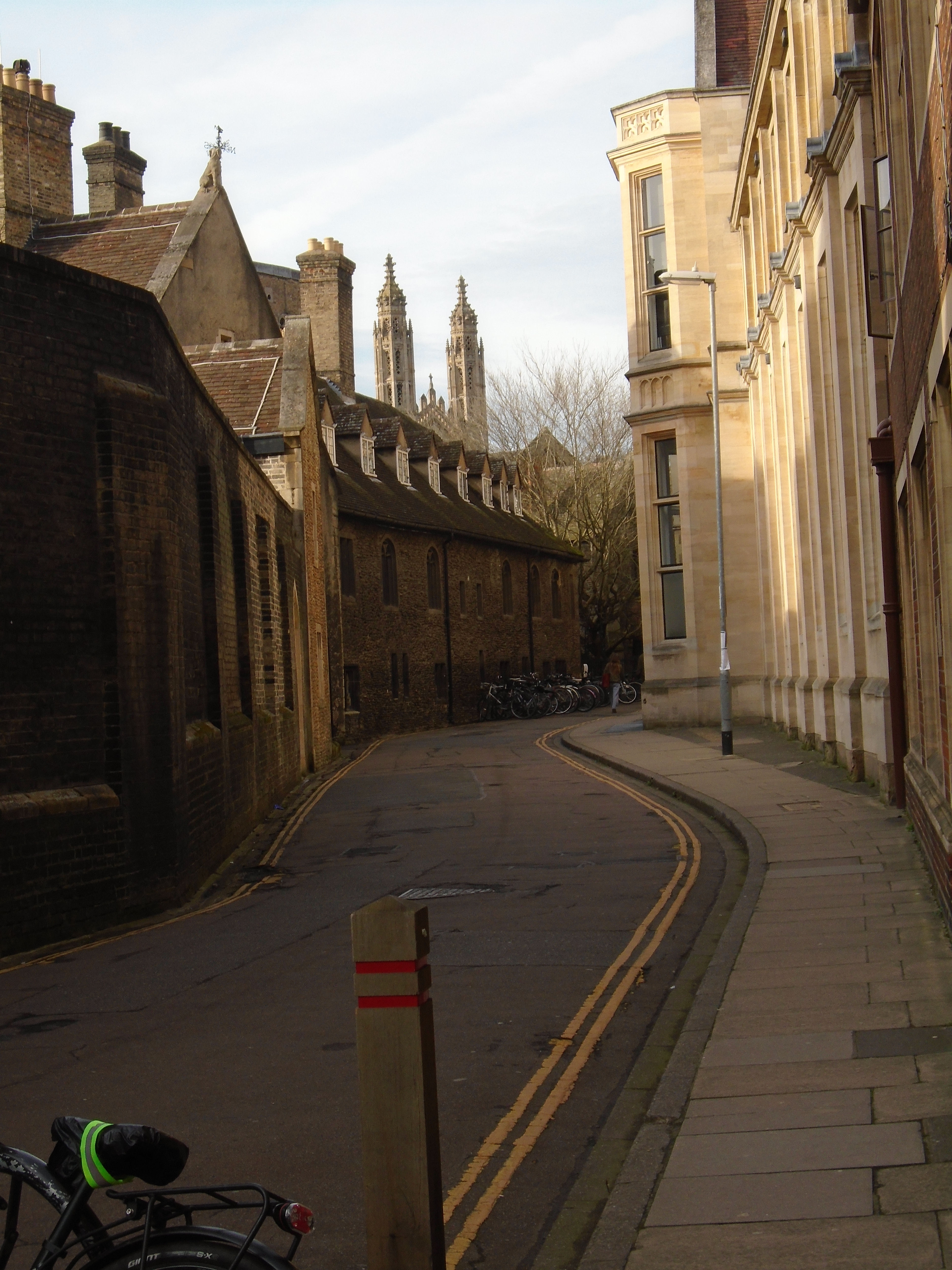
At this point, we must leave the Kings Ditch, as it departs from the modern road layout. Walk along Free School Lane. This is a medieval street.


At the end is St Benets church, the only building with Saxon work visible, and the seventh, and last, Saxon church in the centre. This is the oldest building in Cambridge and the oldest church in Cambridgeshire. The tower is late Saxon, built some time between AD 1000-1050. The listing description says that it is built of "rubble"! The tower has characteristically Anglo-Saxon long-and-short quoins (corner stones). St Benets church should really be written St. Bene't's church. It's one of the reasons why I have given up apostrophes for this website. Bene't is a contraction of Benedict, who is the patron saint of students. He lived 480-548, and founded monasteries, which turned into the Benedictine order.
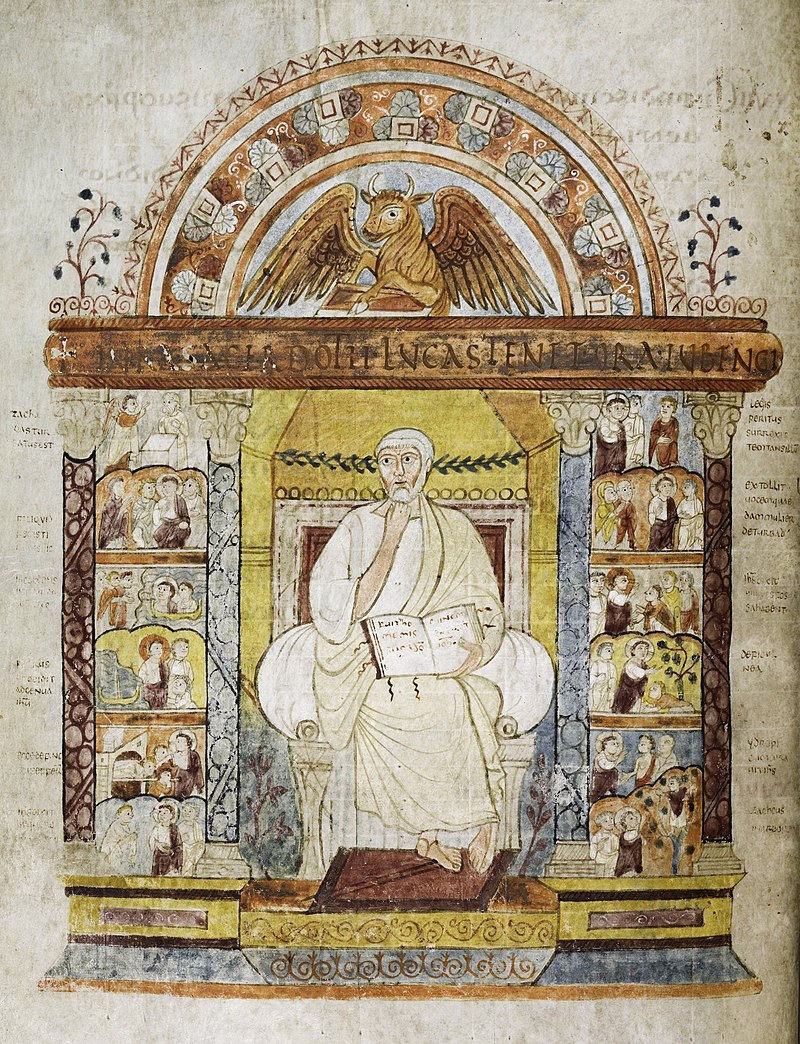
Behind St Benets is Corpus Christi college. This contains the Parker library, based on the collection of Archbishop of Canterbury Matthew Parker (1504-1575), who had a particular interest in Anglo-Saxon manuscripts. He was involved in the setting up of the Church of England, and wanted to show that it had a "historic" basis. It is a fabulous collection - the Wikipedia article describes some of it: "Its most prestigious possession is the St Augustine Gospels, believed to have been brought to England by the Augustinian mission, sent by Pope Gregory I to convert the people of Britain in AD 597. It is an illuminated Gospel Book created in Italy in the 6th century and has been in England since soon after its creation." .. It is used for the swearing of the oath in the enthronements of new Archbishops of Canterbury. Unfortunately, the library is not usually open to the public, although sometimes Open Cambridge has a couple of viewing days. Still you can see the books online - click here.
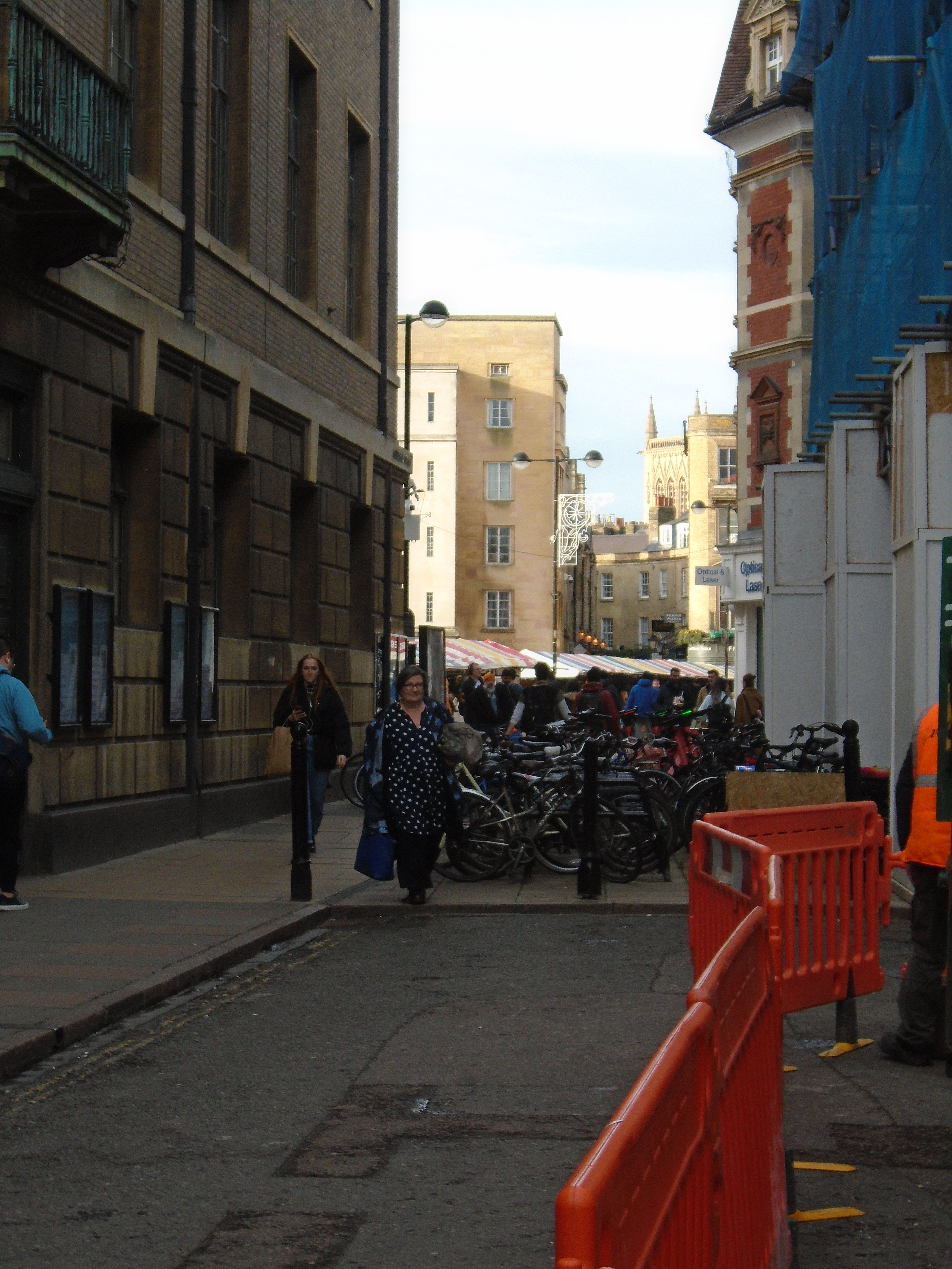
Turn right, and carry on past the Guildhall and the Corn Exchange, then turn left towards the market. All these are medieval streets, connected with the market place. We end up in the modern market place again.
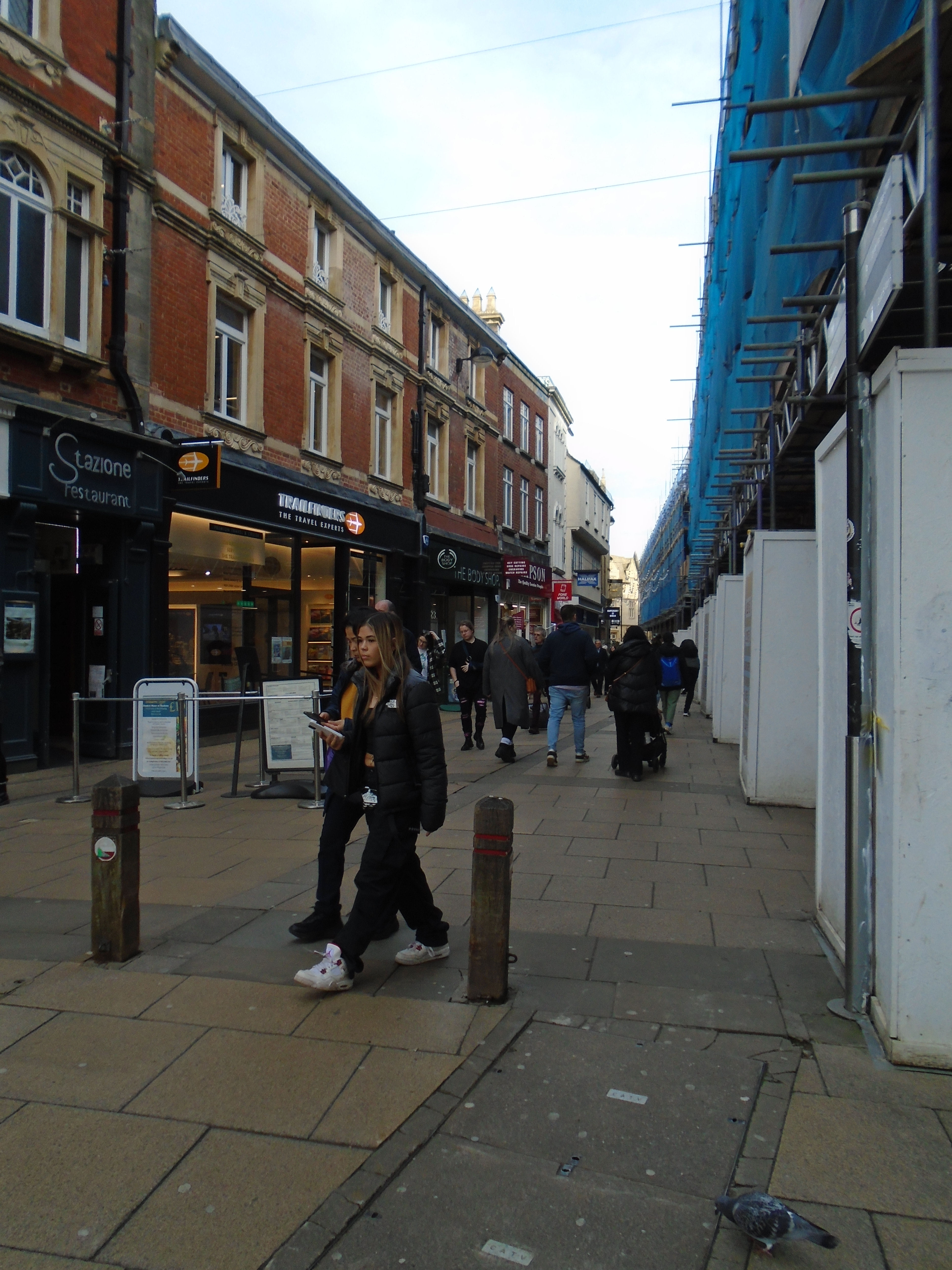
Turn right down Petty Cury, a medieval street which has kept its name "Little Cooks". Obviously eating places in Cambridge is not just a modern phenomenon!
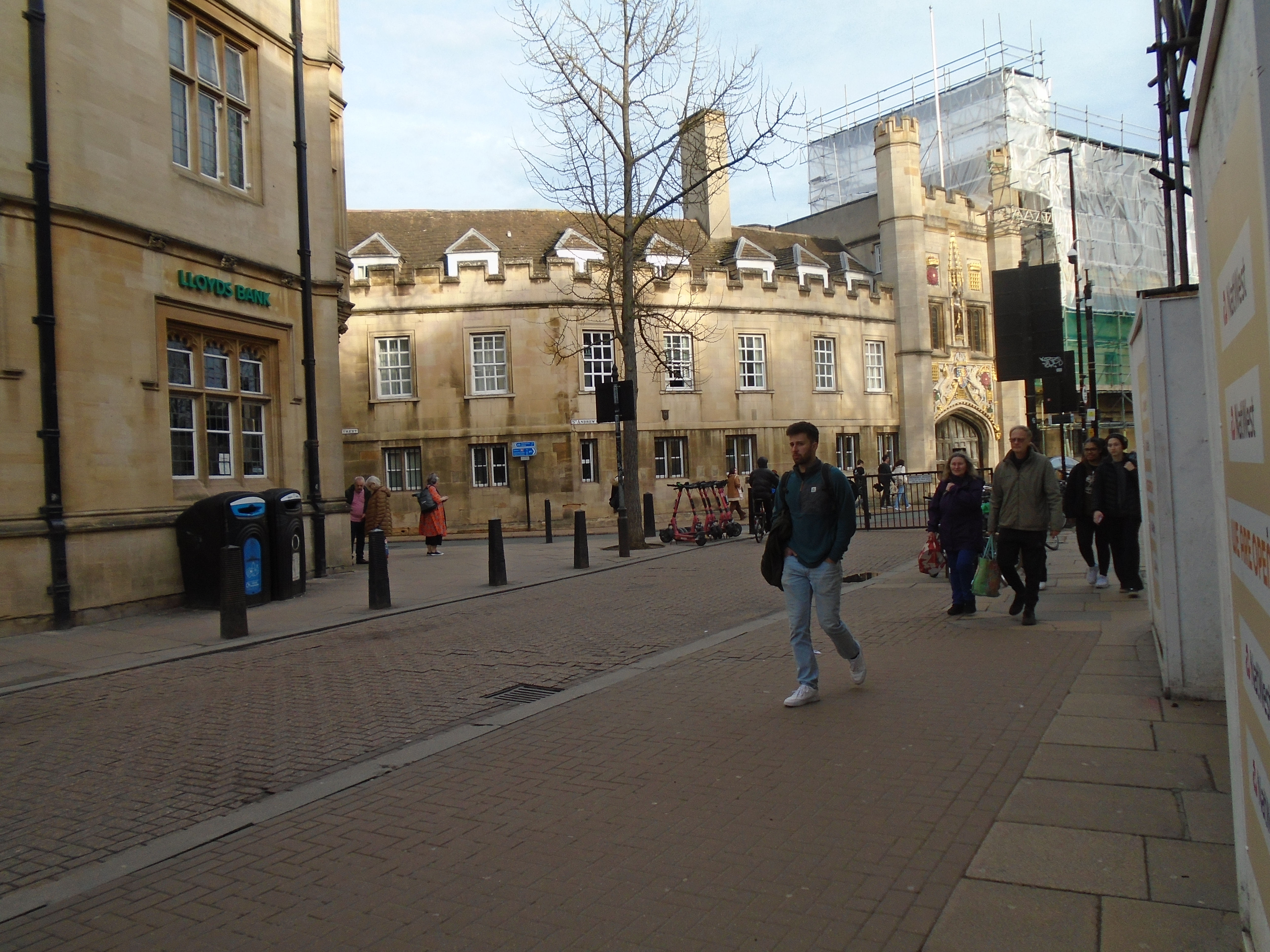
At the end, turn right. We are now on the Roman Road again. The Kings Ditch came this side of Great St Andrews, then crossed the Roman Road. This was another medieval gate - Barnwell Gate. Both St Andrews the Great and Holy Trinity are on the Roman road, but it is thought that neither of them are Saxon. They are either side of Barnwell Gate, similar to Little St Mary and St Botolph straddling Trumpington Gate. I feel a certain amount of satisfaction that there is still a modern gate here...
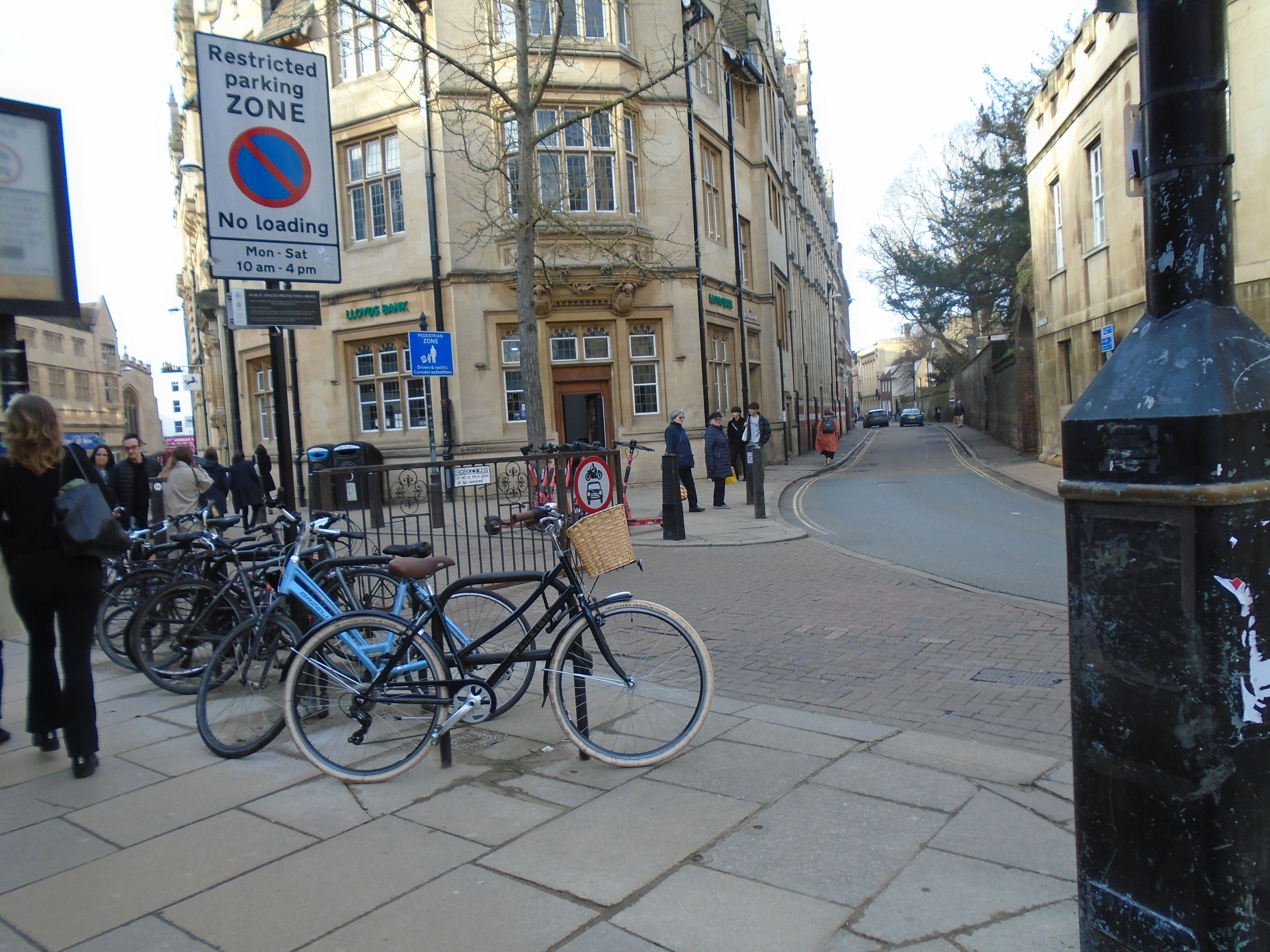
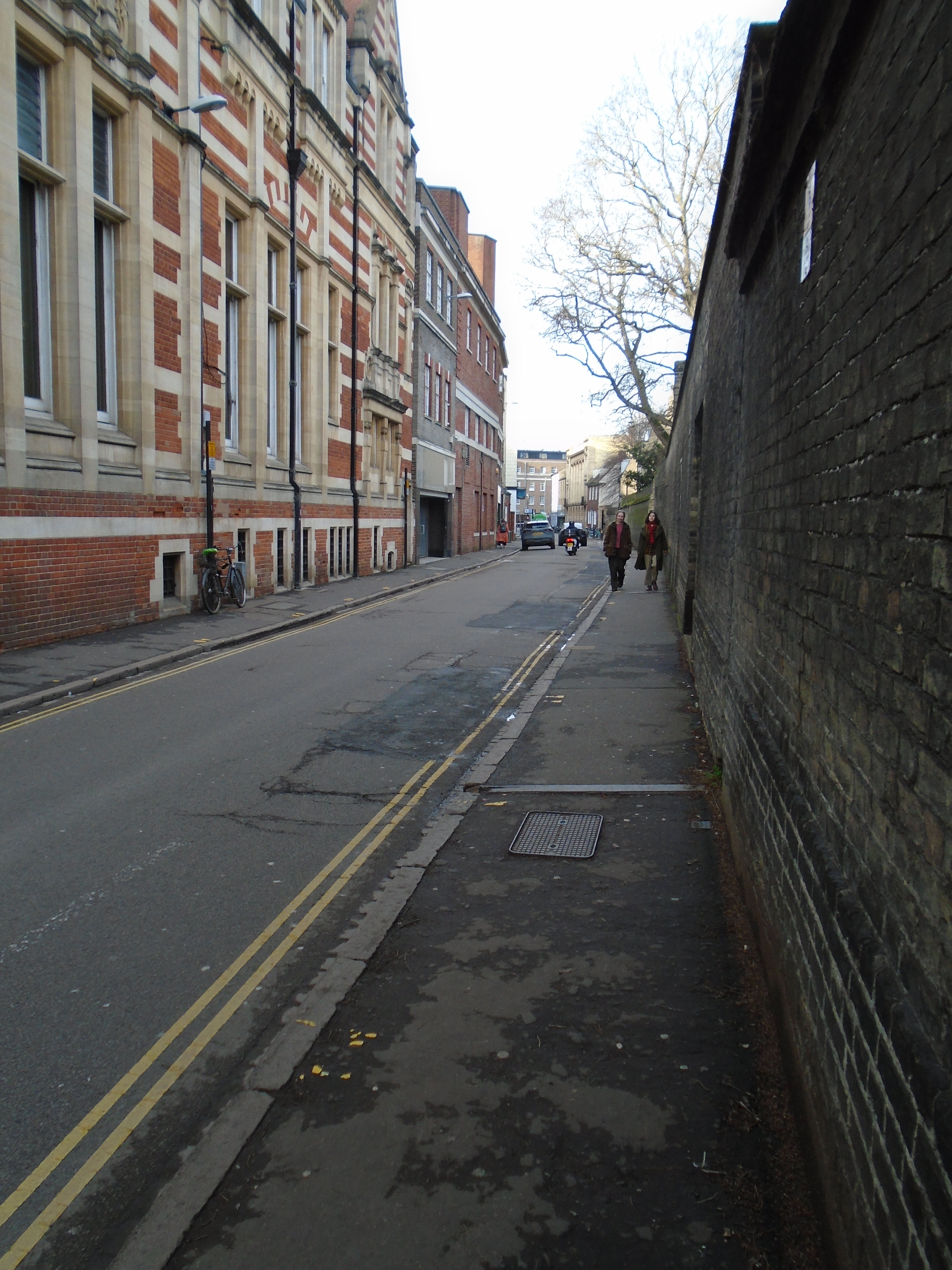

Walk a short distance to the end of Hobson Street, by Christs college. Hobson Street has a very sharp angle to St Andrews St. This is because Hobson Street was built over the top of Kings Ditch. So we walk along it.
The road is fairly straight until we get to King Street. Then there is a sharp right turn. The Kings Ditch carries straight on, into Sidney Sussex college, which built over it.
The Kings Ditch crosses the modern road network in one more place, at the junction of Jesus Lane and Park Street. Then the ditch bends slightly to the left to rejoin the river fairly close to Magdalene bridge (or the Great bridge). However, there is not much to see there, so we will end the walk at the end of Hobson Street.
I am not a historian! I have taken my references from several places:
An Historical Map of Cambridge: University and County Town by Tony Kirby and Elizabeth Baigent - ISBN 978-1-830719-5-0 - This shows the location of historic buildings on a 1925 map (and is fascinating!) There is also an introduction which says: "Saxon occupation was consolidated by Offa, King of Mercia, in the 8th century and the rebuilt bridge (before 875) reflected flourishing trade and the growth of settlement on the south bank of the river; by 1086 (Doomsday Book) this had become more important with 300 recorded dwellings, than the Castle Hill area, aided by the arrival of Danish merchants in the 9th century. Here the churches of St Benets, St Mary the Less, St Edward, All Saints, St George, St Clement and St Boltolph, and, north of the river, All Saints by the Castle, St Giles, and St Peter have Saxon foundations, though visible evidence of Anglo-Saxon work is lost in all but St Benets." This is my evidence for the Saxon churches above. This map is not available online, but you can buy it here, or in Cambridge bookshops!
British History Online has the following: A History of the County of Cambridge and the Isle of Ely: Volume 3, the City and University of Cambridge. Originally published by Victoria County History, London, 1959. The city of Cambridge: Churches. This gives the history of Cambridge churches (including those that no longer exist) from documentary evidence.
Cambridge City Council did a Historic Core Appraisal in 2016, describing the streets in the city centre, one by one. It gives snippets of history for some of them. It is indexed here.
And of course the Domesday Book.
For other interesting things in Cambridge, try my Walks round Cambridge website, which covers other subjects as well.
I have indexed all the walks that I have done for the U3AC (including this one) here.
© Jo Edkins 2024 - Return to Walks index