
| U3AC walks | U3AC walk - Water in Cambridge |
Route: Quayside, Bridge St, St John St, Trinity Lane, Garret Hostel bridge, Senate House Passage, Market Hill, Sussex Street, Hobson Street, Lion Yard, Benet Street, Free School Lane, Pembroke Street, Mill Lane, weir
Length: 1.5 miles Start: Quayside - Finish: weir near Silver Street
Introduction: Water is useful, and has always been used in different ways. In Cambridge, there are, or have been, several different channels for water apart from the river. This walk explores them.
This covers many uses, and several water courses. The walk explores them in a geographical order rather than a logical order. Click here for more information on utilities, including water, which covers specific water courses in a more logical order, giving more information, and where they were.
| Map of walk |
| Route of walk - with photos |
| Uses of water courses |
| Contour map |
Blue marks the features that have disappeared. Red marks what is still here.
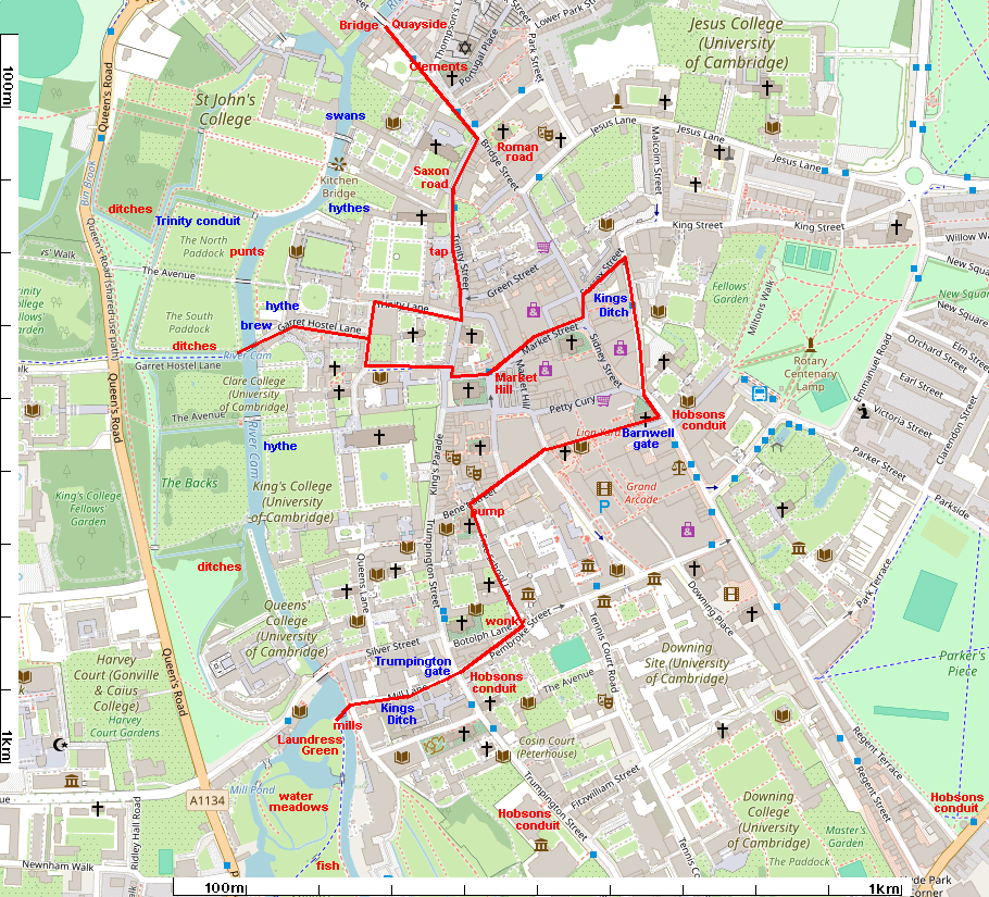
Click on photos for a larger version.
The man water course of Cambridge is, of course, the river. The river was a boundary, even a fortification, but you need to cross it! This was the main bridge of Cambridge, called the Great Bridge, but is now Magdalene Bridge (after the college). Click here for more information on the river.

This is St Clements church. St Clement is the patron saint of mariners, and is connected with Danish churches (such as St Celements Dane in London). Cambridge was in the Danelaw before the Norman Conquest, and the Danes settled round Quayside. So this may have been their church (although this building is medieval).

This was a major road junction. The Roman road continues straight on, with the other road bending off to the right. It seems likely that this was the Saxon road, as several Saxon churches are near it. It follows the path of the river, but not too close (presumably in case it flooded!)
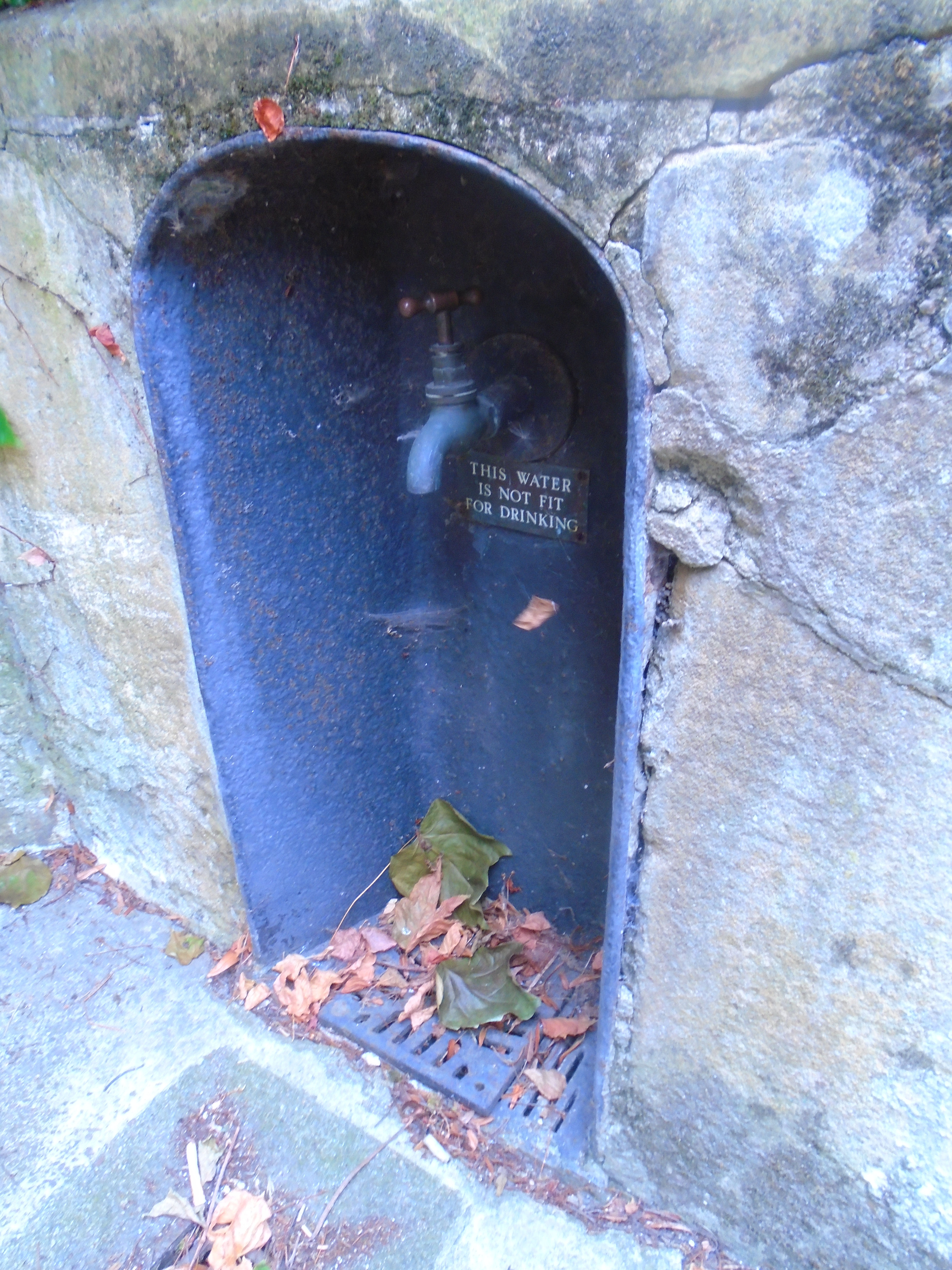
At the base of the left tower of the gatehouse is this tap. It is part of the Trinity Conduit, which used to be an important source of water for the town. It was built in 1325 by the Franciscan Friars located in what is now Sidney Sussex college. They brought the water in lead pipes from a spring near the Madingley Park and Ride site. Trinity acquired the conduit at the Dissolution of the Monasteries, and not only used the water themselves, but allowed the townsfolk to use the water. But the tap isn't that old, and the notice shows that we are discouraged from using it! Click here for more information on Trinity conduit.

The map above is a modern map of what is thought to be the Cambridge street plan of 1350 (click on it for a larger version). The streets were different in this part of town. This was an important street, serving the "hythes" (quays) on the river. The other end of this road still exists, as Queens Lane, but Kings college chapel blocks the middle!

Garret Hostel bridge is the only public bridge across the river between Magdalene bridge and Silver Street bridge. This is an important route from the centre to the University Library, so beware of fast cyclists! The bridge is rather a steep hump, so cyclists need to build up speed to cross it.
There are good views of Clare bridge (left) and Trinity bridge (right).


There were several "hythes" (quays) along this part of the river (see map above). Garret Hostel bridge is modern, but there were many small bridges crossing the various water ways.
Down river, you can see St Johns college. This was one of the few institutions in the country (other than the monarchy) who were allowed by law to serve swan. They served it up to Victorian times. I don't know if they used local swans!
Trinity conduit must cross the river somewhere near Trinity bridge.
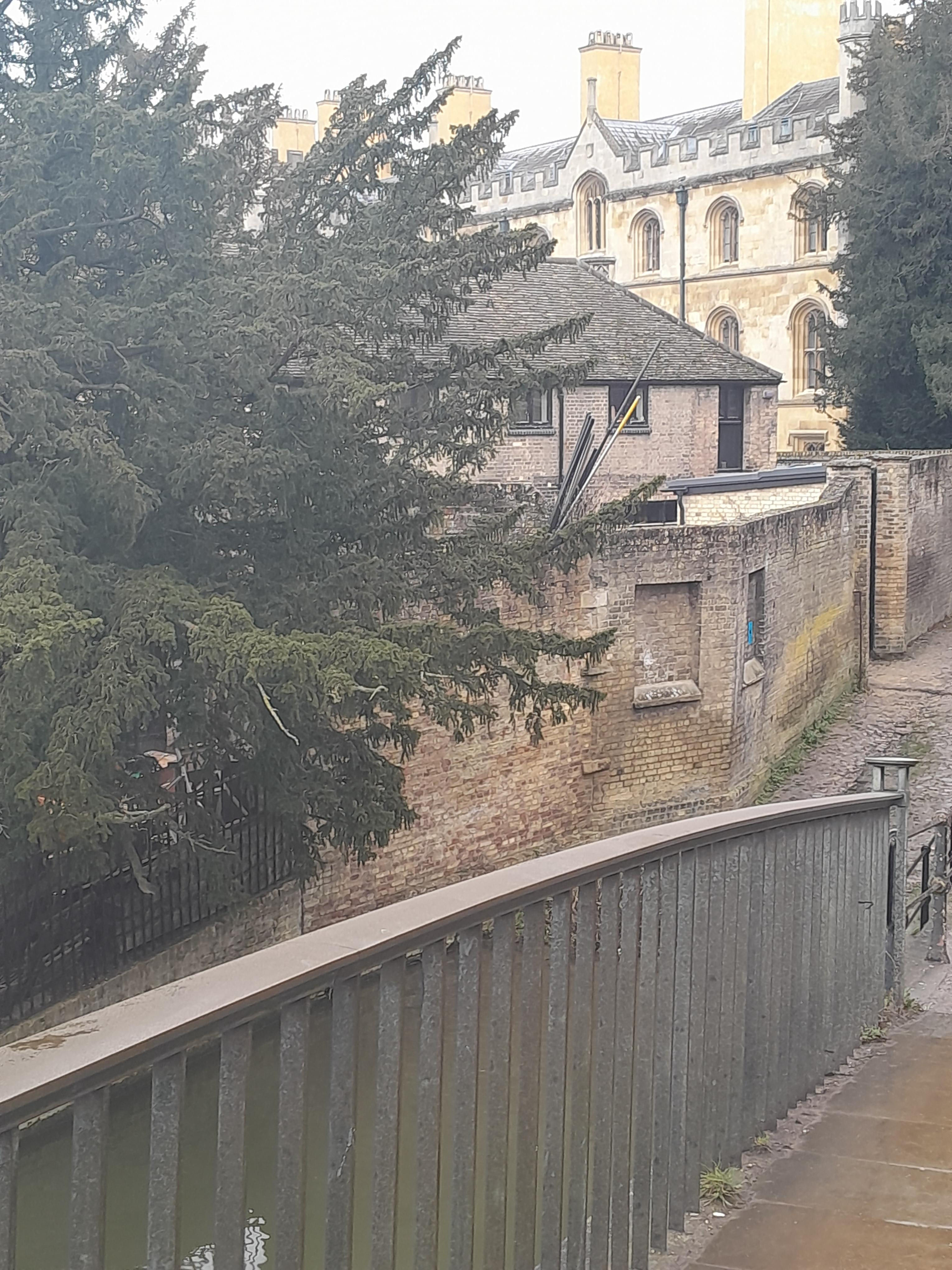
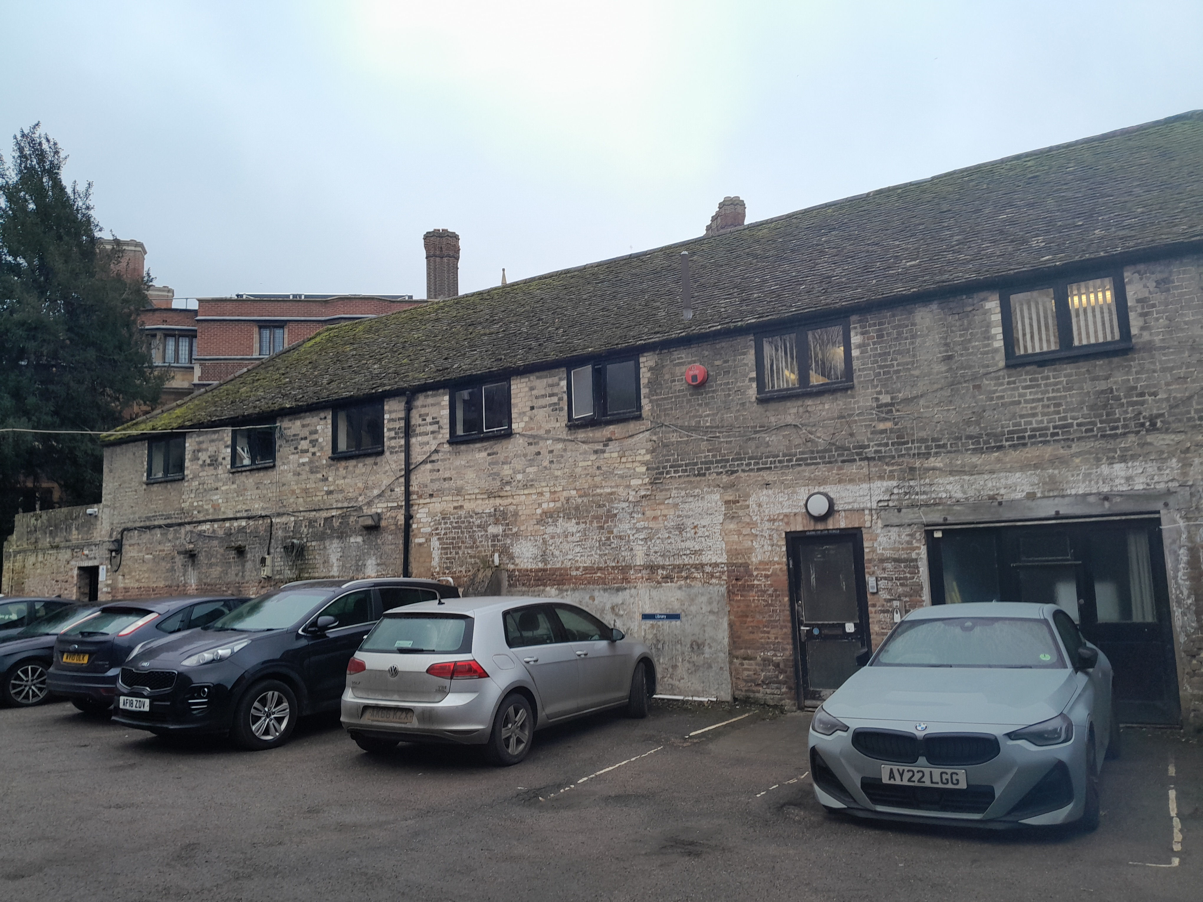
Looking back, you can see a building over the wall. This is Trinity brewhouse, once used for brewing beer. I assume that it was close to the river for a supply of water! You can see more of the building if you enter Trinity.
Anyone who has punted knows that the bed of the river along the Backs is gravel, unlike the upper river, which can be muddy. The river was used for transport, and horses would pull the boats. But as the colleges bought up the land along the river banks, they charged boats to allow the horses to use the towpath. So the town gravelled the bed of the river, so the horses could walk along the river instead, for free!
If we cross Garret Hostel bridge, you can see that there are ditches either side.
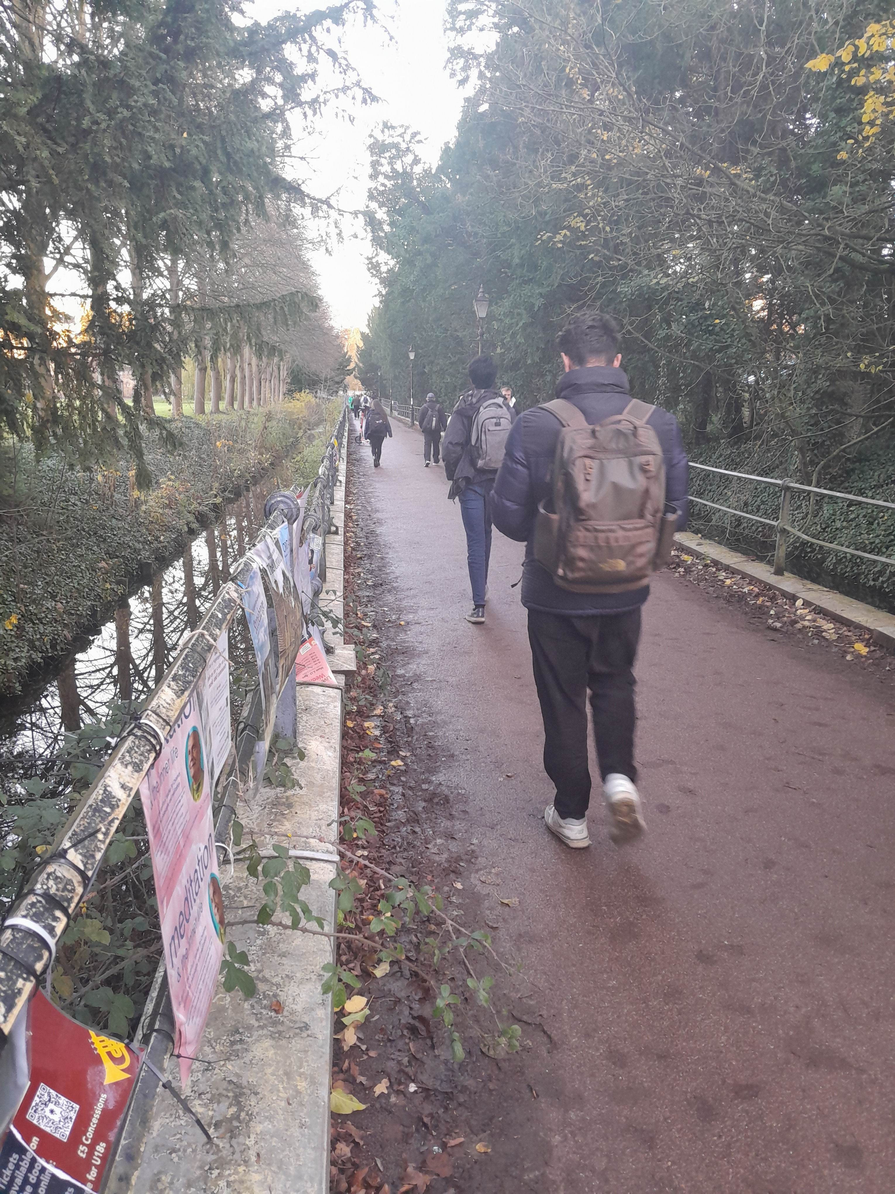
These ditches surround many of the college grounds. They may have helped to drain the water. Cambridge is flat, and low-lying (see contour map at end of this page) and even today, there is flooding. These ditches also provide boundaries to the different college grounds, and today, they provide habitats for wildlife..

There was an active market here in 973, although it may have occupied different areas at different times.
Market Hill is another medieval street. There are three streets in central Cambridge known as hills, which are completely flat! There are two theories about this. One is that "hill" meant a meeting place. The other is that these used to be slight hills. This whole area used to flood, from the river. Any area slightly raised above the water was useful. Later, the whole area was flattened but the names stuck.

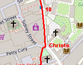
Notice the sharp left turn between King Street and Hobson Street. Hobson Street runs along the route of the old Kings Ditch. This was a fortification, redug several times in medieval times, but possibly dating back to the Saxons. Cambridge was enclosed by this and the river, although there was some housing outside. The Kings Ditch didn't have flowing water, but seems to have been regularly used (illegally) for rubbish, sewage, etc. Click here for more information on the Kings Ditch.
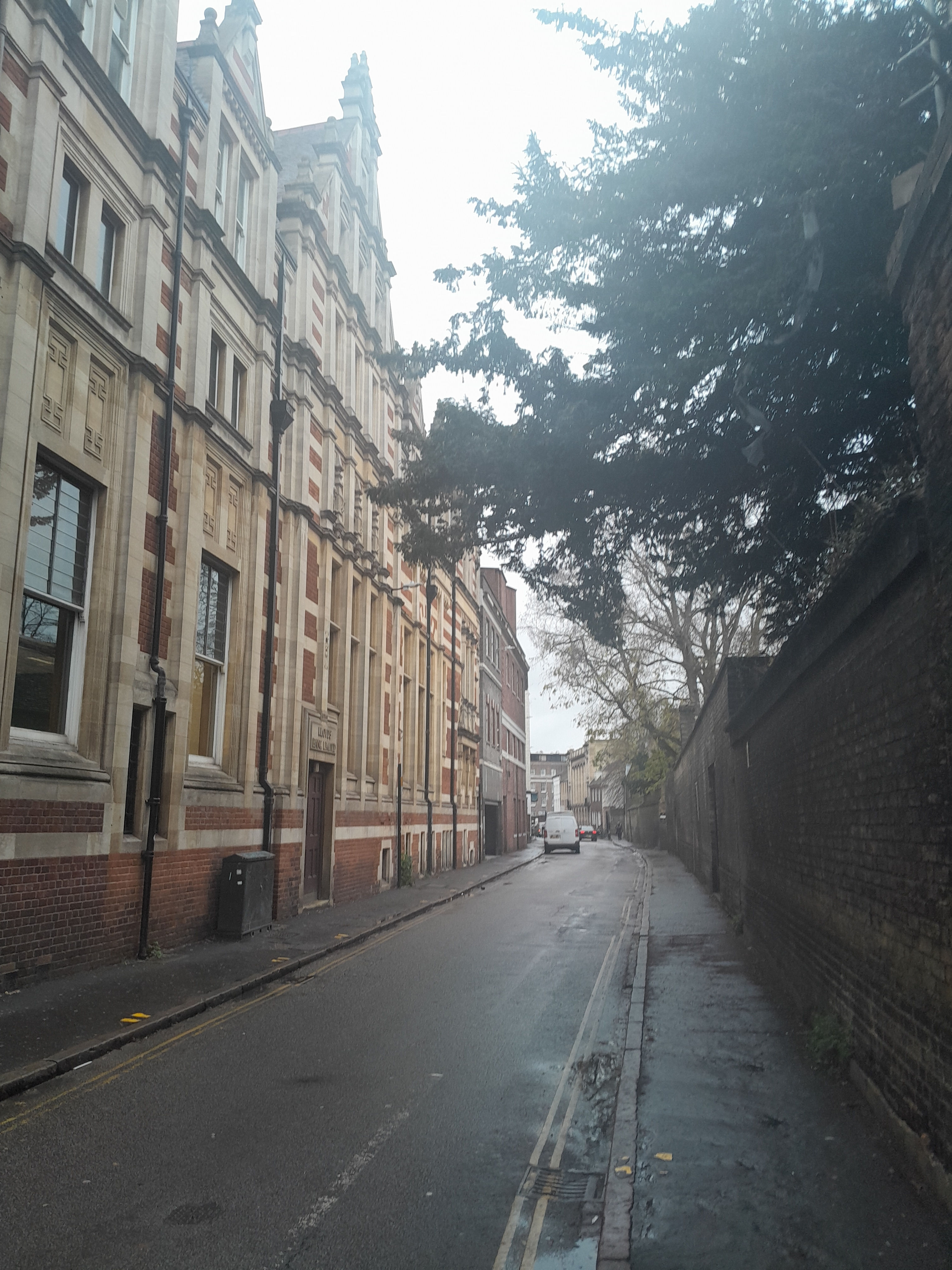
Hobson Street (or the Kings Ditch) runs just outside the Roman road, and meets it near Christs college. This makes rather an awkward angle.
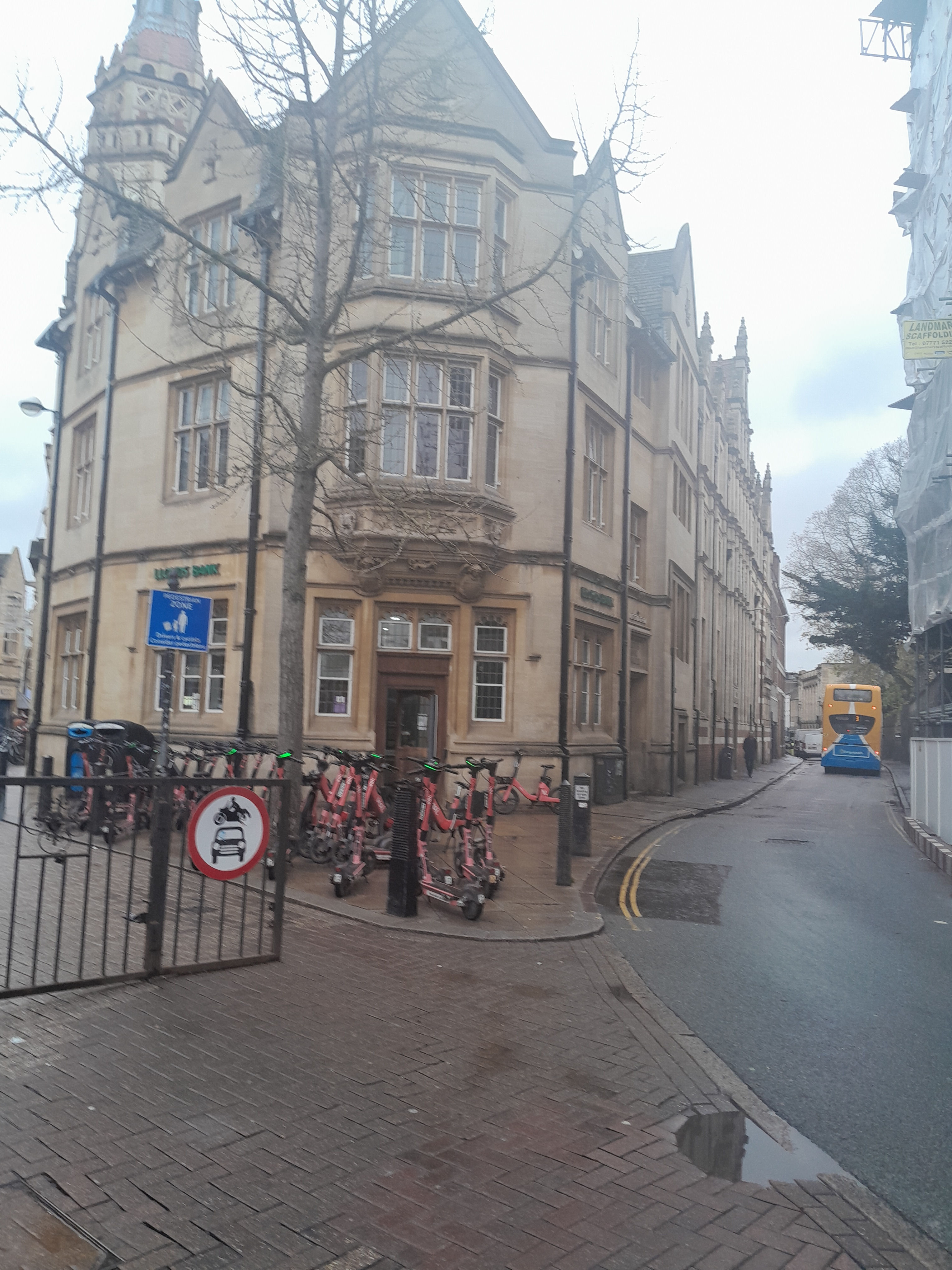
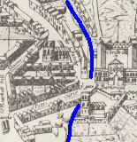
There used to be a gate here, on the Roman road, called Barnwell Gate. Rather pleasingly, there is a modern gate there, stopping cars from entering the pedestrianised city centre.
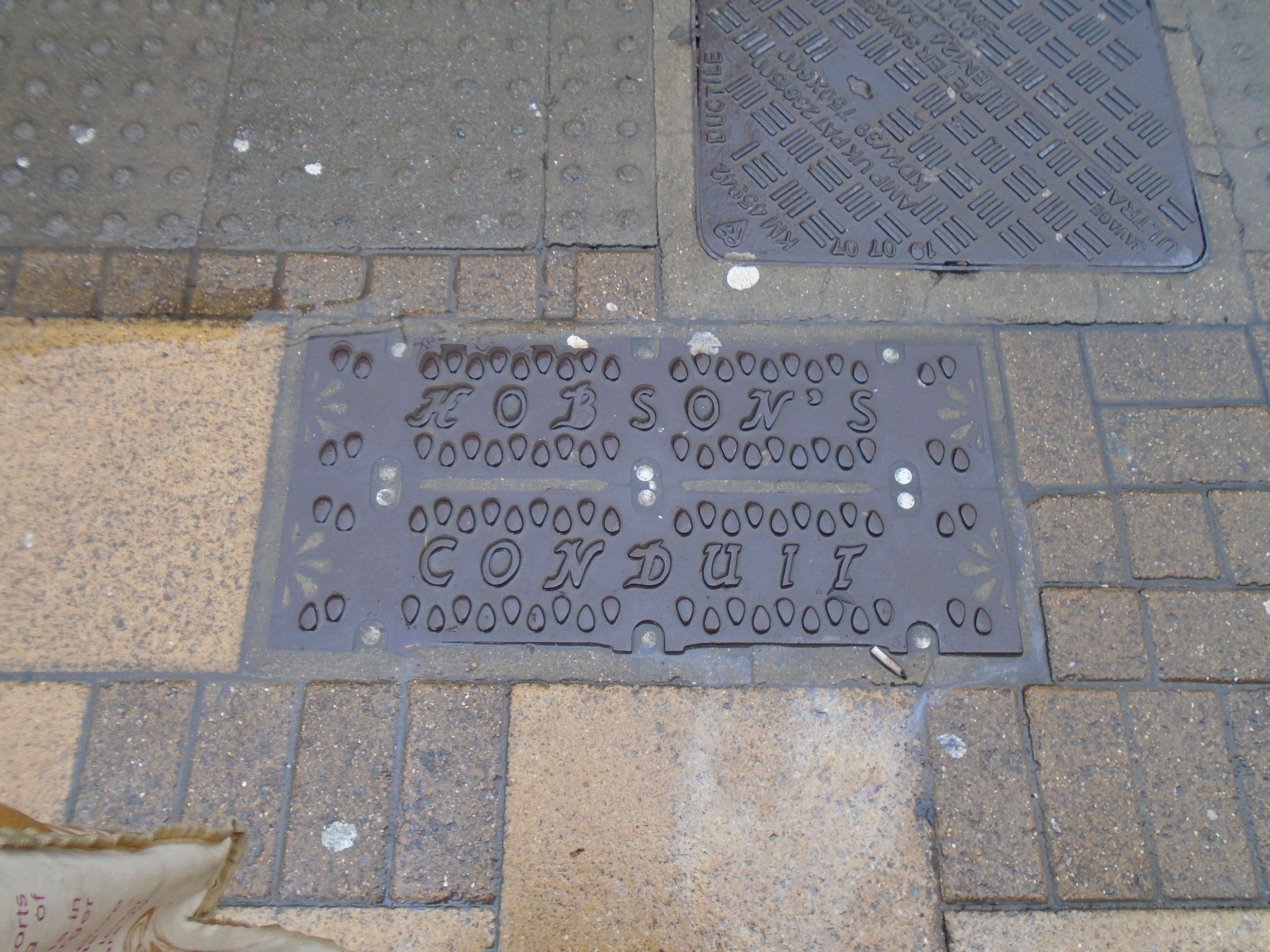
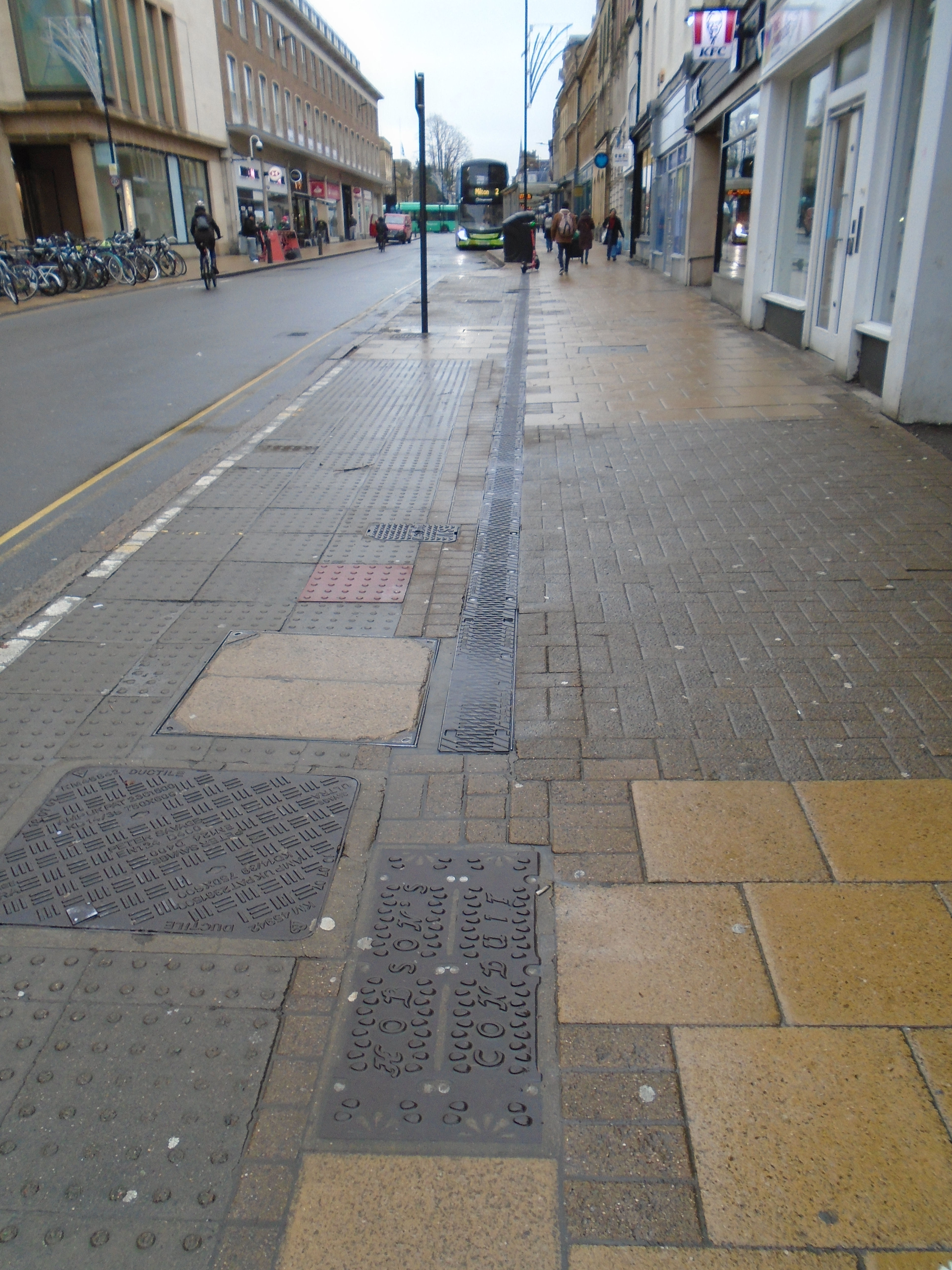
Hobsons Conduit is another conduit provided drinking water to Cambridge. This was built in 1610, as a combined venture by the university and town. The water is taken from springs at Nine Wells, near the Gog Magogs. Hobsons conduit has several routes, servibf different parts of Cambridge. Channels run under St Andrews St, on either side of the road. There are modern plaques marking its route, and you can see the grill covering it, on both sides on the road. Click here for more information on Hobsons conduit.
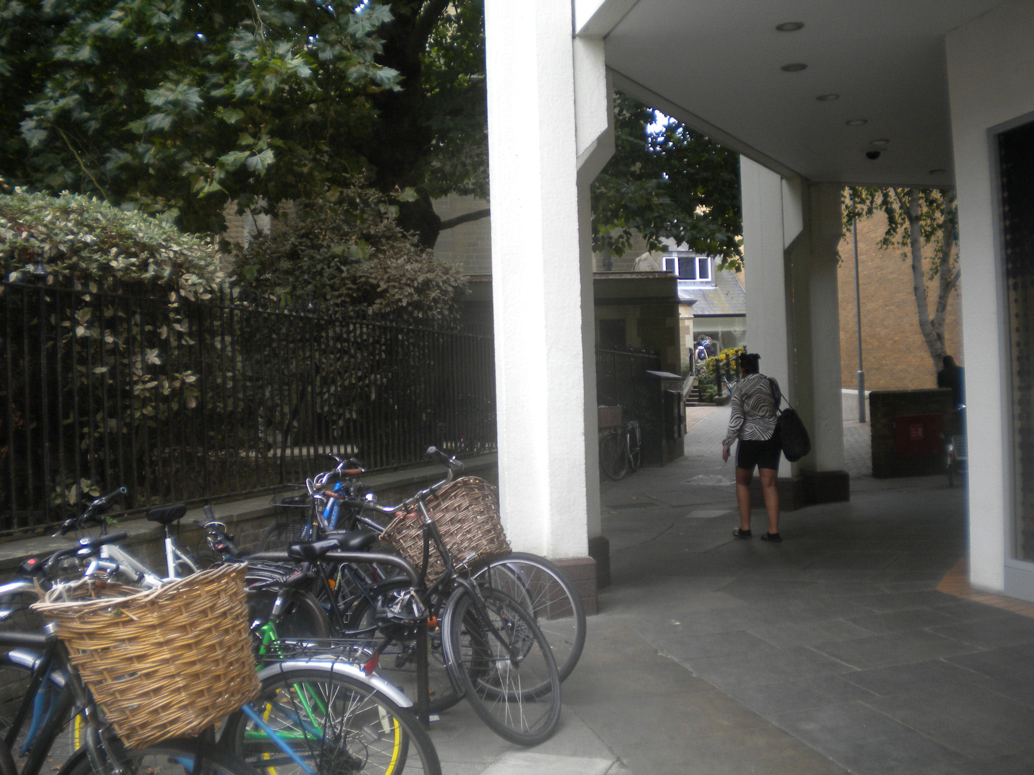
We leave Hobsons conduit, and return to the Kings Ditch. This ran along the passage behind Great St Andrews Church, until we meet the path into the Lion Yard. At this point, it gets lost under the Lion Yard and Grand Arcade (and previous shopping areas). We will pick it up later.
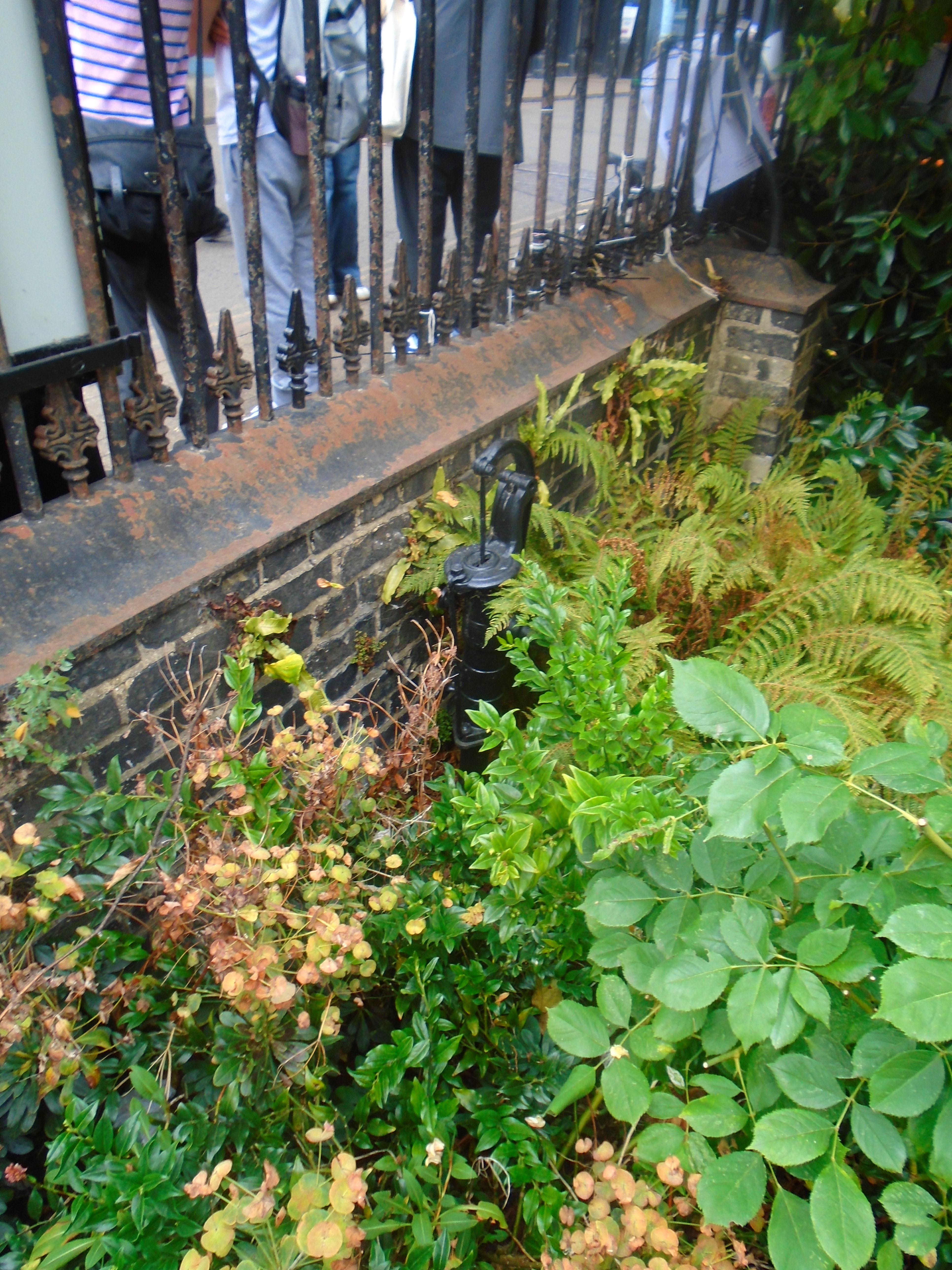
This parish pump is just within St Benets churchyard, to the left of the entrance. Here is yet another source of drinking water. Before the establishment of the Cambridge Water Company in 1853, some Cambridge people got their drinking water from such pumps. The pumps were often placed against churchyard walls. St Celements, St Boltolphs, St Giles, Holy Trinity and the Round Church all had a churchyard pump. In one of these churchyards, the sexton opened a grave to make a second burial, and found it kept filling with water. When he worked the pump nearby, the water disappeared. When news of this spread, some of the parishioners decided to stop using that pump for their drinking water!
There was another parish pump in Green Street, belonging to St Matthews. In 1816, it was stolen, and the annoyed church wardens offered £10 for the apprehension of the delinquents.
Now we pick up the Kings Ditch again. At the end of Free School Lane is a white building called Charles Adams House (formerly Botolph House) dated about 1790. You can see that above the door, and some of the windows have sagged. The map shows that the King's Ditch went right under the house, and this has caused subsidence problems!
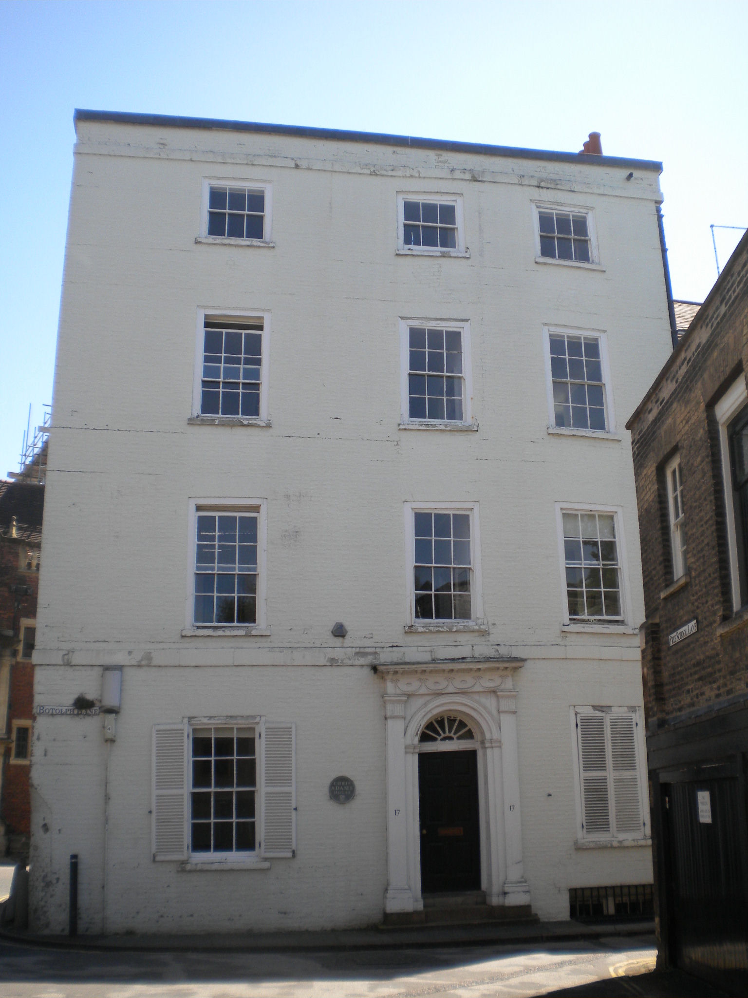


We are now walking along the Kings Ditch.

There was another gate at the end of Pembroke Street, where the Kings Ditch crossed Trumpington Street. It was called Trumpington Gate.

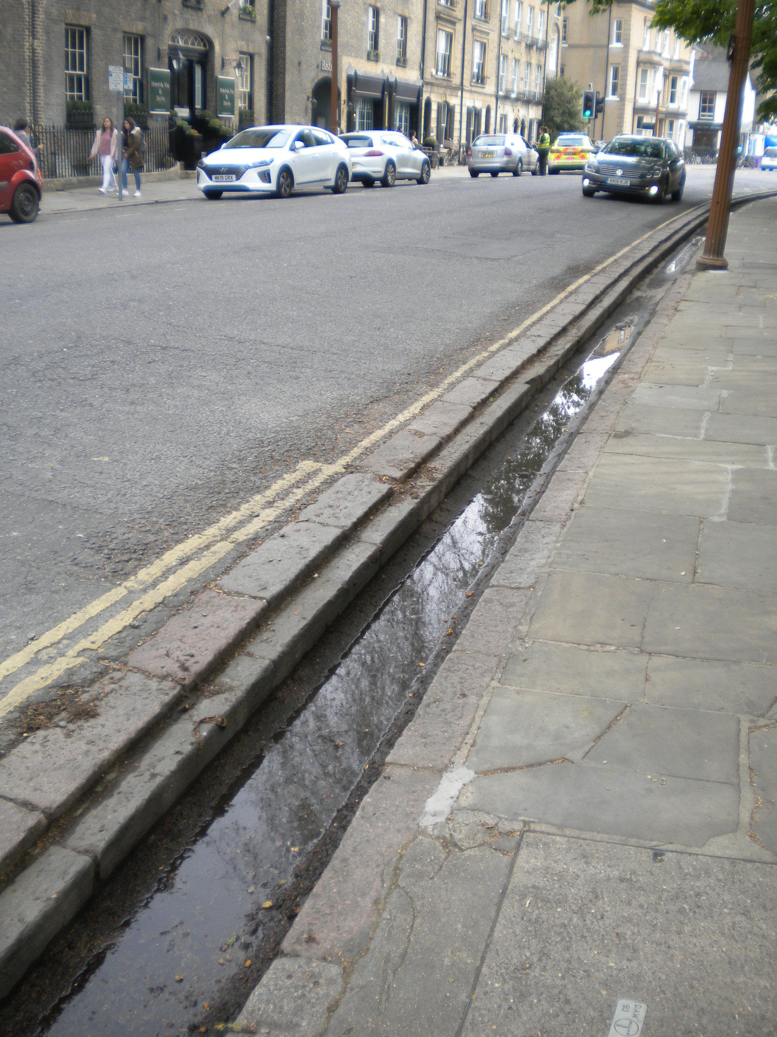
Now we leave the Kings ditch, and pick up Hobsons conduit again. Walking a few yards along Trumpington Road, you can see the part of Hobsons Conduit still above ground. These Hobson's Conduit runnels were created between 1794 and 1815, so they were not part of the original scheme. They still sometimes run with water, but are often dry. There are two channels, on each side of the road. There are bridges over the channels for pedestrians. This one, outside Pembroke, was added recently, and names the conduit.

Back to the Kings Ditch again. Kings Ditch ran along Mill Lane. Note the slope, and the drop to the river. If there was water in the Kings Ditch, then it would have to run the same way as the river, from above Silver Street Bridge to below Magdalene Bridge. But this would mean the water running uphill here!
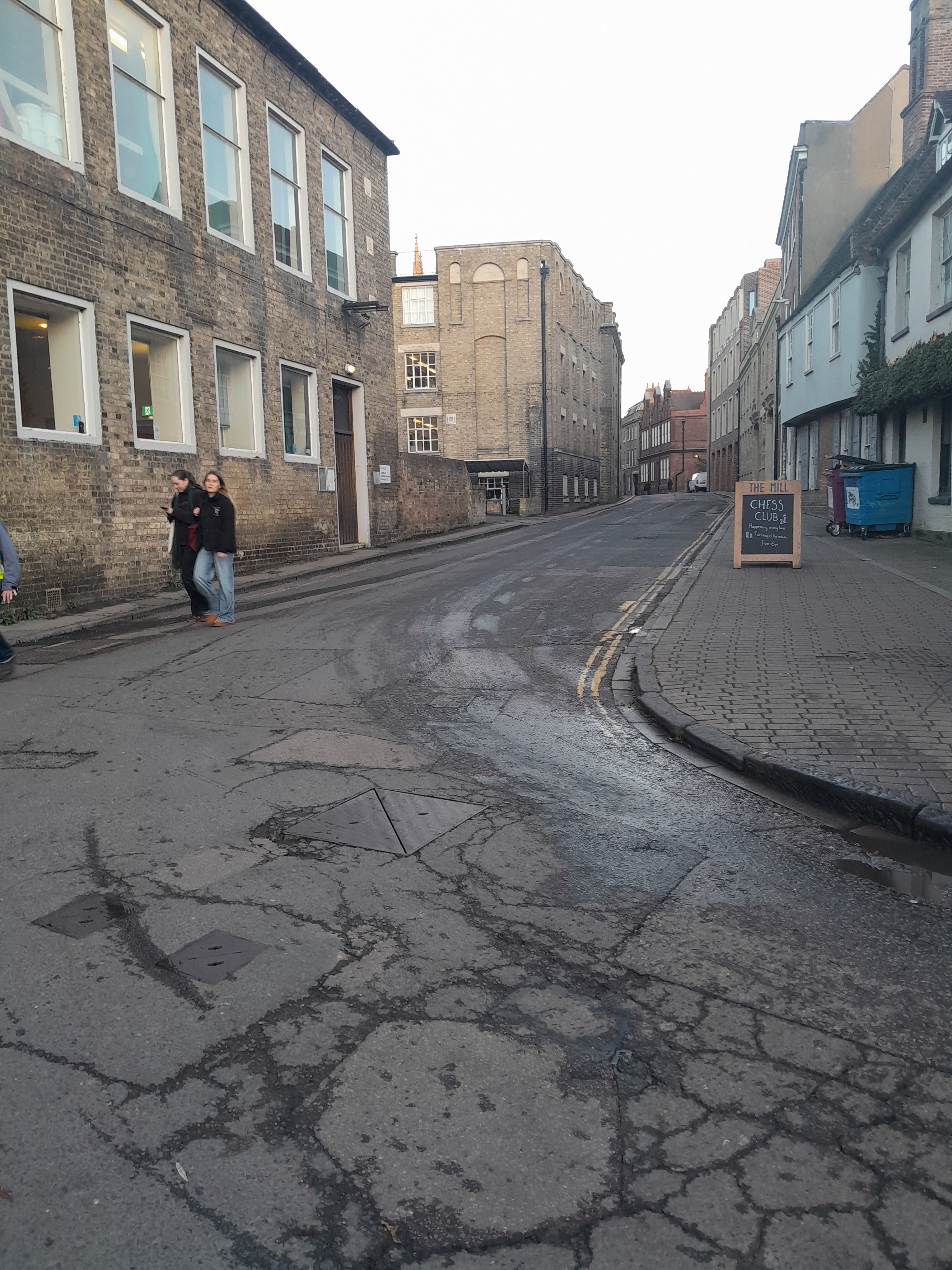
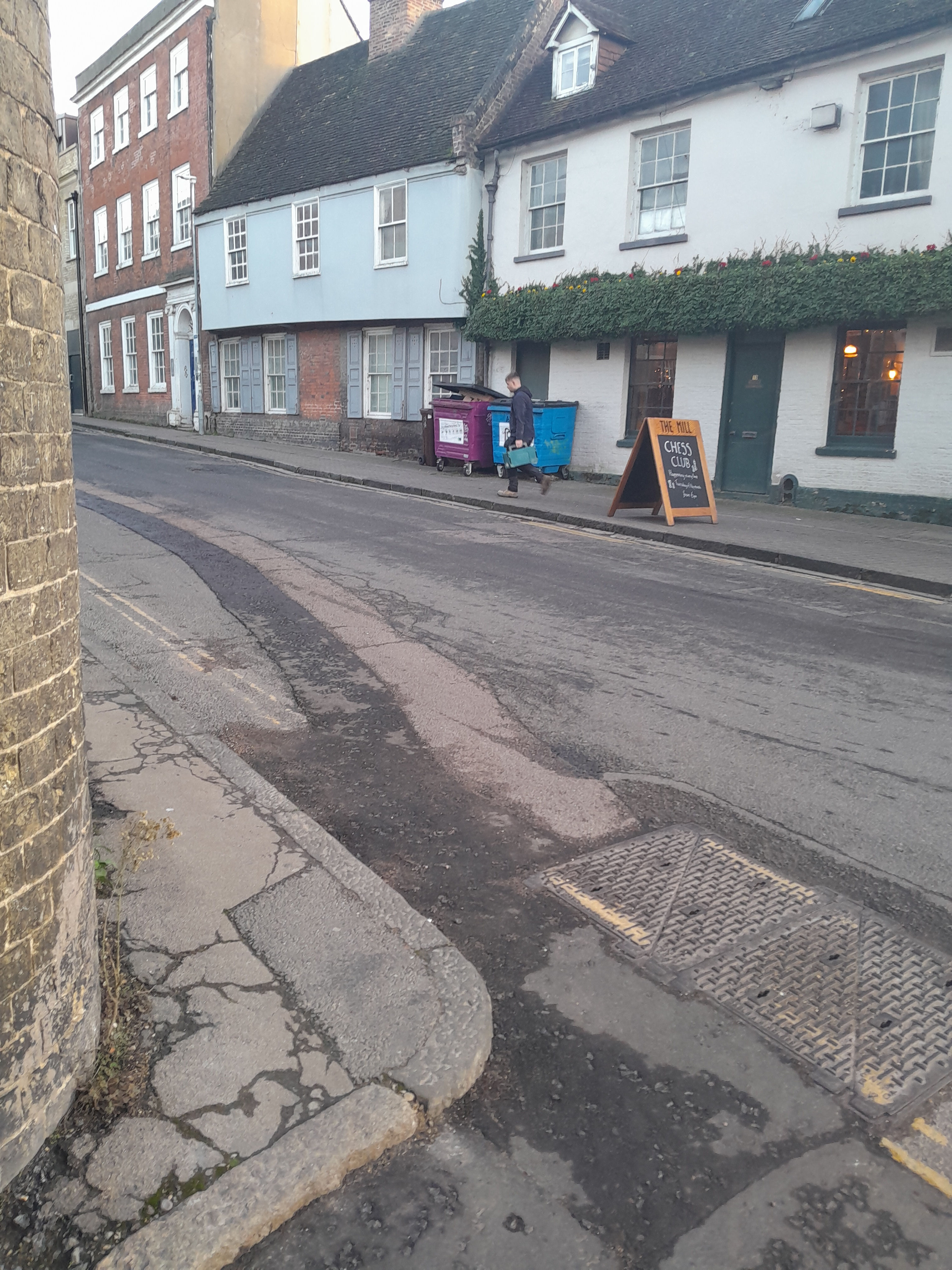
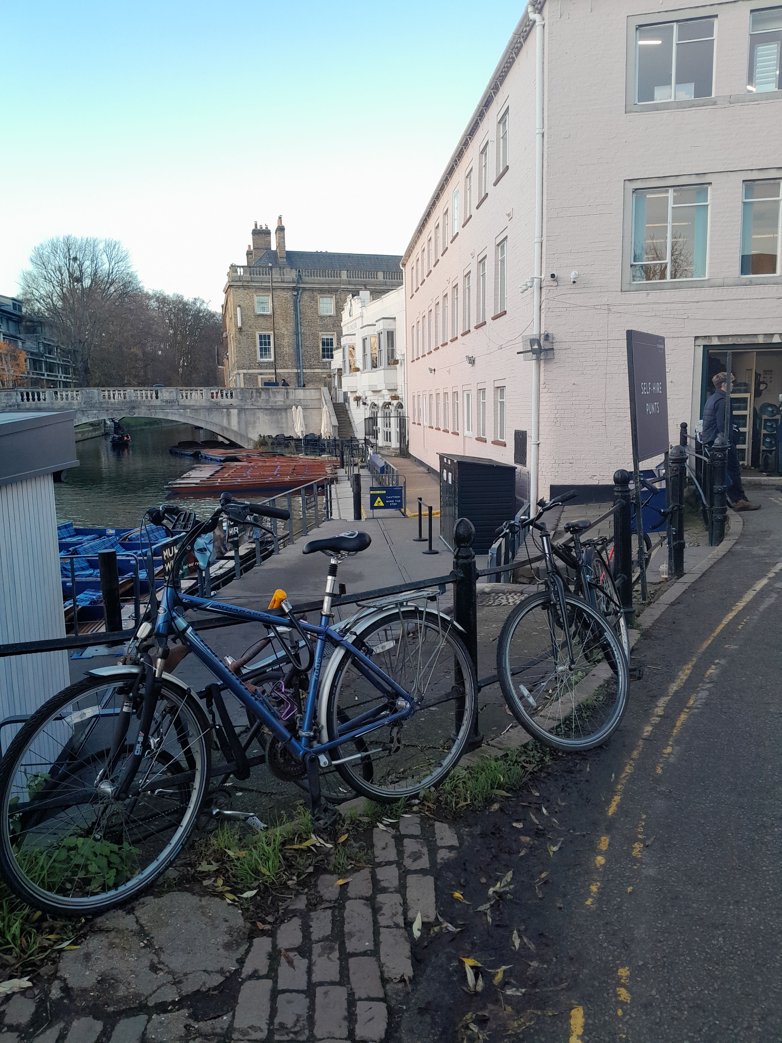
Mill Lane and the Mill pub are named after two mills, which used to be here. They were called Kings Mill and Bishops Mill, which were demolished in 20C. The photograph above is dated 1924.
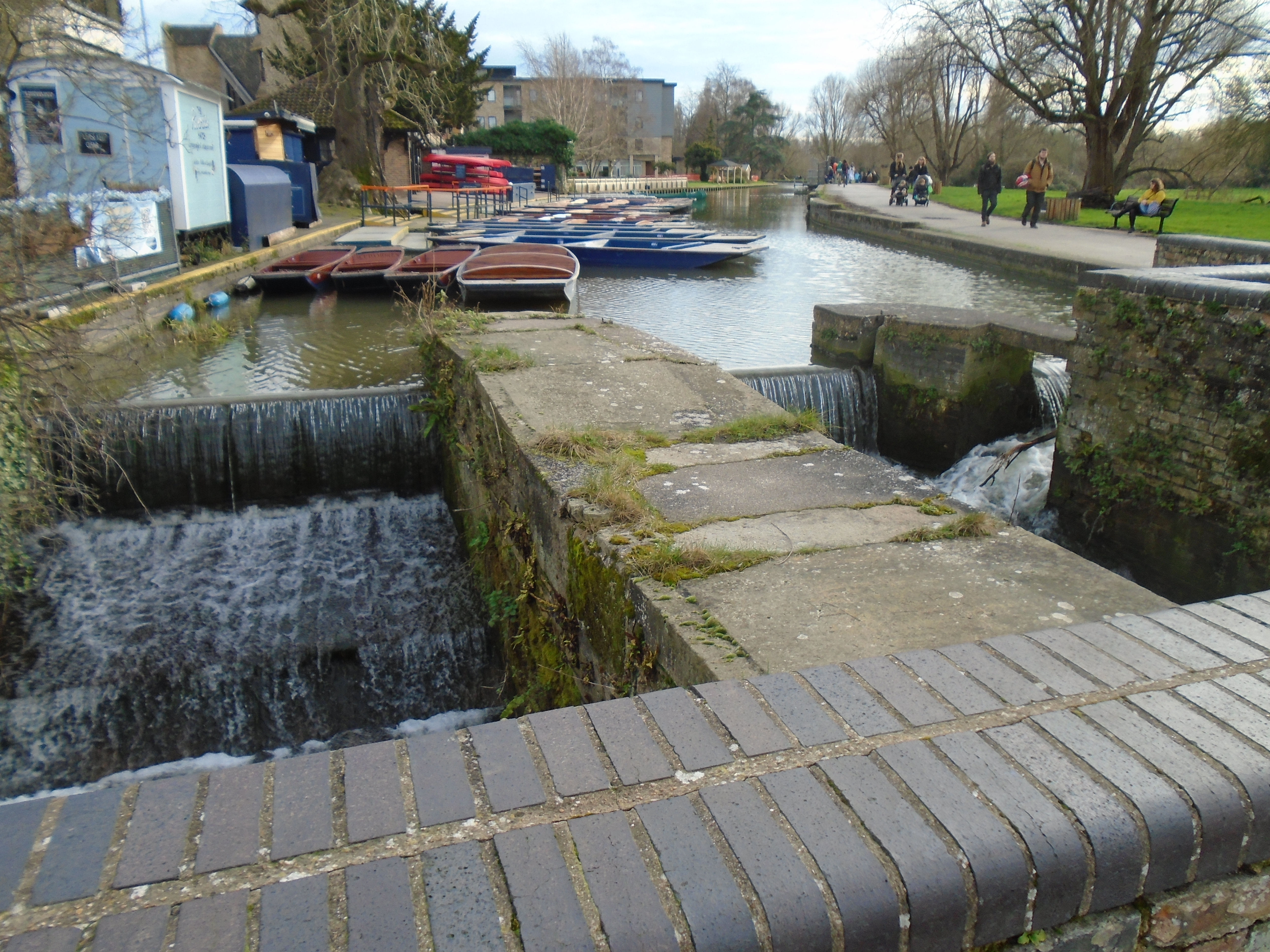
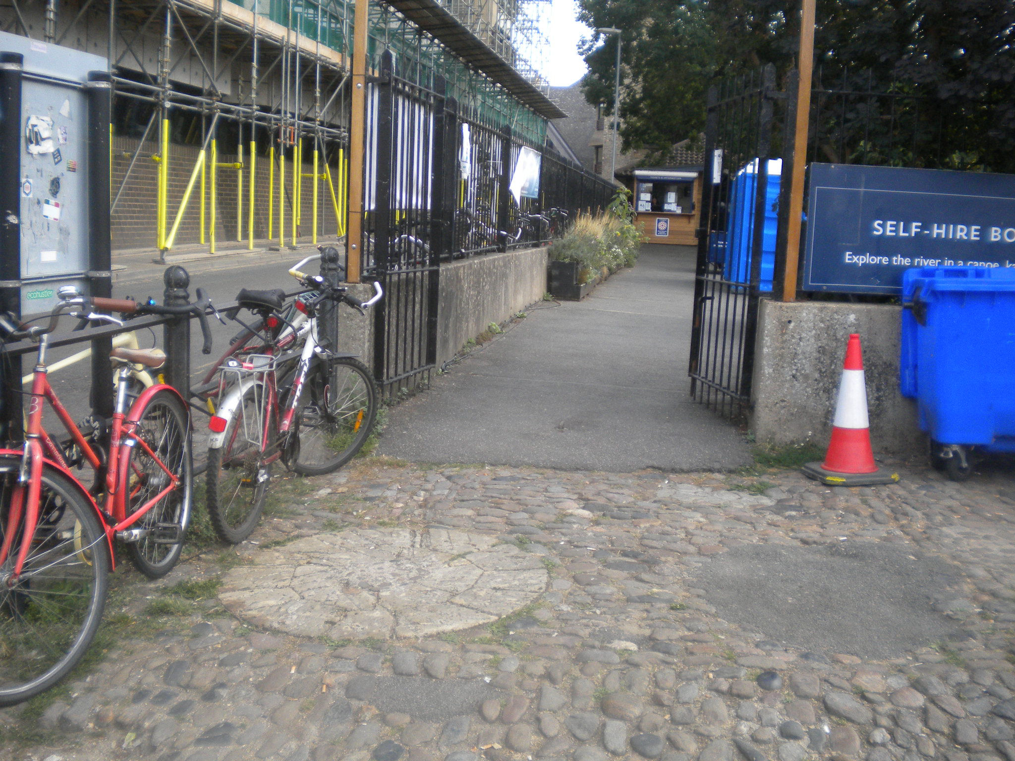

The Domesday Book says "Picot himself [Sheriff of Cambridge] has made 3 mills there which diminish the pasture and which have destroyed many houses. Also a mill of the Abbot of Ely, and another of Count Alan. The mills themselves pay £9 a year." It seems likely that these are two of the mills, since they are close to Cambridge. There couldn't be mills further down river, as there were boats using the hythes. It sounds as if local people didn't like Picot!

The green bit over the river is called Laundress Green, where the college laundresses did their washing. They could spread out the laundry to dry, but also the water would have been cleaner here, as we are upriver of the town.

Laundress Lane leads down to Laundress Green. Presumably the laundary had to be carried, since horses were forbidden! The cartoon is from "A Cambridge Scrap-book" by John Lewis Roget (1859).
The green area south of Silver Street bridge is Laundress Green, Coe Fen and Sheeps Green. They are all water meadows, and may be under water in the winter.
There are many different ways to use water courses.
Drinking: Presumably Cambridge became a settlement because the river provided drinking water. However, it was probably used as a sewer as well! So various other drinking water supplies were found. Trinity Conduit was made in 1325 to bring in water from a spring, near the Madingley Park and Ride carpark. There was public access to the water originally in Sidney Street, and there is still a tap in Trinity gatehouse (but it tells you not to drink the water!) There were other springs within Cambridge. This parish pump still survives. It is just within St Benets churchyard, to the left of the entrance.
Hobsons Conduit was built in 1610 to bring in water from Nne Wells, near the Gog Magogs. There was public access to the water in the Market place.
They didn't just drink water! Trinity brewhouse shows that Trinity brewed beer (healthier to drink than water, as the brewing process sterilises the water, to a certain extent). It is positioned next to the river, so is likely to have used it for its water supply.
Sewage and rubbish: I'm sure some ended up in the river! The Kings Ditch seems to have been used unofficially as a sewer. One reason for building Hobsons Conduit was to flush out the Kings Ditch, but I don't know if it ever worked.
Washing: For washing clothes and bedclothes, you need to do laundry. There is a green area below Silver Street bridge called Laundress Green. They could do their washing in the river (which is fairly clean, as it is upriver from Cambridge) and dry it by spreading it on the grass.
Boundaries: Water provides a natural border to land. Cambridge started on top of Castle Hill, but in Saxon times, moved to within the bend of the river. At some point, perhaps in Saxon times, the Kings Ditch was built to enclose the town, providing a simple fortification.
Many of the colleges have ditches round, using waterways such as Bin Brook. For example, here is the ditch at the back of St Johns college. These may have been used to drain to land, but they also form boundaries between one college and the next.
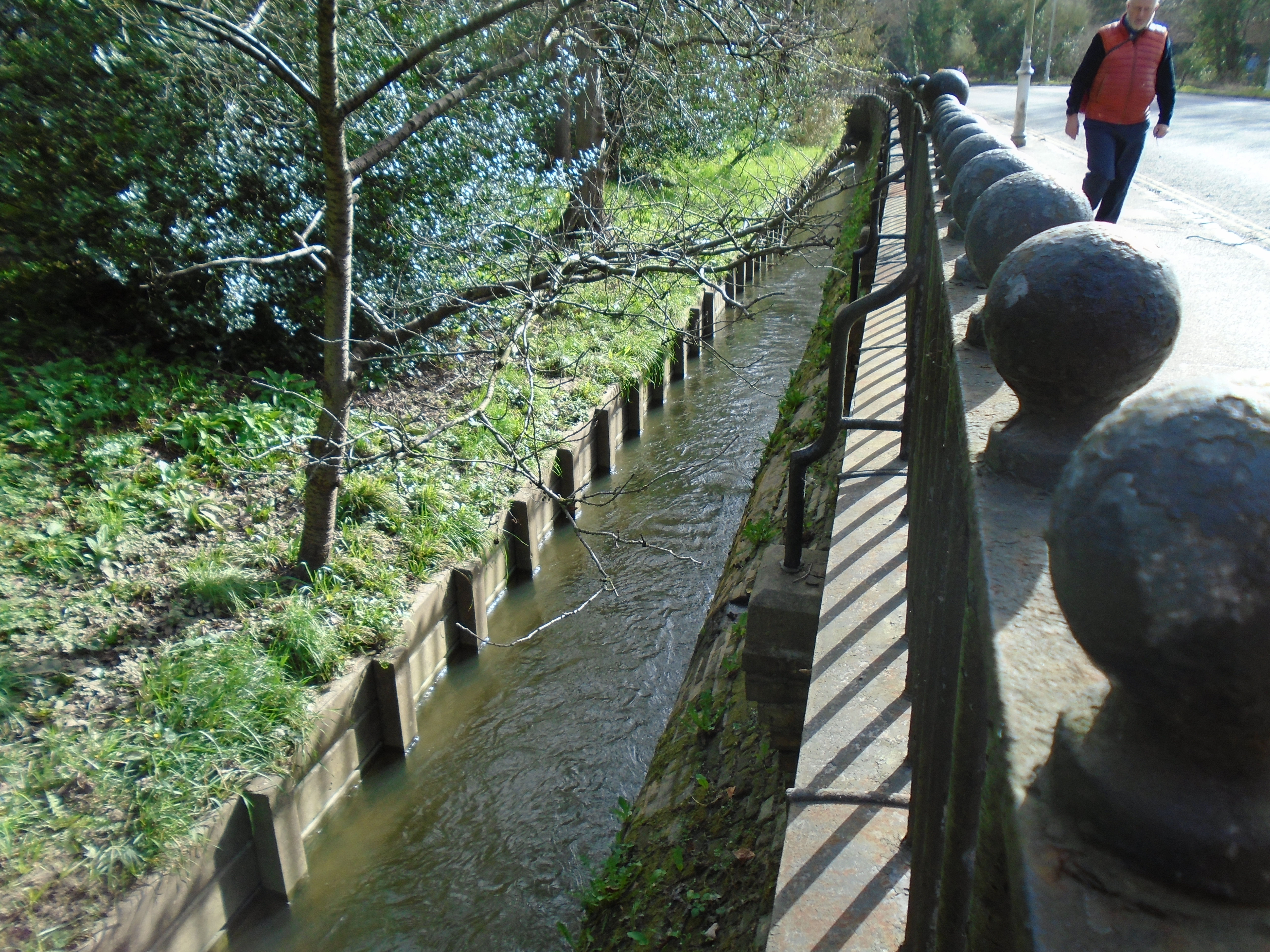
Drainage: This was always important in Cambridge, as it is low-lying and far from the sea, so liable to flooding. The ditches round the colleges (above) may have been used for this. There are also large green areas next to the river which are water meadows, which may flood without causing harm to housing. These include Sheeps Gree, Coe Fen, Laundress Green, Jesus Green, Midsummer Common and Stourbridge Common. Perhaps the Backs were originally water meadows as well. An area that was slightly higher than the rest, and so more likely to stay dry, became known as a "hill", such as Market Hill or Pease Hill, which bemuses people, as these are now flat.
Transport: Cambridge was an inland port in medieval times. That was one reason why the Saxons and the Danes settled here. Quayside still exists (although it's now used for punts).
But there used to be "hythes" or quays, along what is now the Backs, before the university colleges started occupying the land. The bed of the river is gravel. Apparently, the boats were drawn by horses, and the colleges used to charge the boats for access to the banks of the river. So they gravelled the river bed to allow horse to walk actually in the river itself!
Power: Mills were powered by the flow of the river. There were three mills below Silver Street bridge. Two were demolished when the railway came to Cambridge, and the new mill was built next to the station.
The other mill building is still there, but not working as such, of course. It's near Newnham. The mills were positioned here where they wouldn't interrupt the boat traffic using the "hythes".
Food: The water of the River Cam is not murky and is clean enough from its source to its confluence with the Great Ouse to support fish. The fishing rights on the west bank are leased annually to the Cambridge Fish Preservation and Angling Society. This is fishing for leisure, or as a sport, rather than for food. But presumably, since there is fish, it would have been caught and eaten in the past.
Up until the late 1980s, St John's College May Ball menus traditionally included 'cygnet St Jean' or 'roast swan'. Only a very few institutions in the country (other than the monarchy) were allowed by law to serve the dish. However, while swan was indeed being eaten at St John's quite regularly in the Victorian period, the so-called 'swans' of the late twentieth century were actually chicken or goose, with swan necks and wings of wax. I have no idea whether the Victorians actually used local swans!
The mills were grinding wheat to flour, to make bread, and the wheat arrived on boats, then the flour went out on boats, so here are more ways that the river helped with food.
Leisure and sport: There are still boats on the Cam, but these are punts and rowing eights. Punting began in the nineteenth century, originally to transport cargo along waterways, and for other river-related tasks, such as fishing. A punt’s flat base makes it a very stable watercraft, and its lack of keel enables it to pass through shallow areas of water, making it an excellent vessel for these purposes. In the shallow waters of the Fens around Cambridge, punts were already integral workboats for regional trades such as eel fishing, reed-cutting, and fowling. 'Pleasure punting' - for passengers rather than cargo - was introduced to the River Thames during the latter half of the nineteenth century, and became a popular pursuit. Scudamore's Punting Company was founded in 1910, and is still working.
The oldest college boat club is Lady Margaret Boat Club (St Johns). It was founded in 1825. In 1829, a challenge is sent from Cambridge to Oxford: "The University of Cambridge hereby challenge the University of Oxford to row a match at or near London each in an eight-oar boat during the Easter vacation." The challenge was accepted and the first race was rowed at Henley on June 10th 1829.
Housing: There are now many house boats along the river, below Jesus Lock.
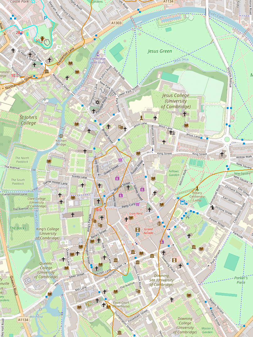
The brown line is 10 metres above sea level, so the river and the Backs, plus Petty Cury and Sussex Street, are less than 10 metres, while Green Street, Free School Lane and Parkers Piece is above 10 meteres. (Below Jesus Lock, the water level is below 5 metres, but this isn't shown on the map).
For other interesting things in Cambridge, try my Walks round Cambridge website, which covers other subjects as well.
I have indexed all the walks that I have done for the U3AC (including this one) here.
© Jo Edkins 2025 - Return to Walks index