
| U3AC walks | U3AC walk - Maids Causeway |
Route: Bridge Street, Jesus Lane, Maids Causeway, Kingsley Walk, through gate to Midsummer Common, cross to Victoria Avenue
Length: 1.47 miles Start: Quayside Finish: Victoria Avenue - about half a mile back to Quayside
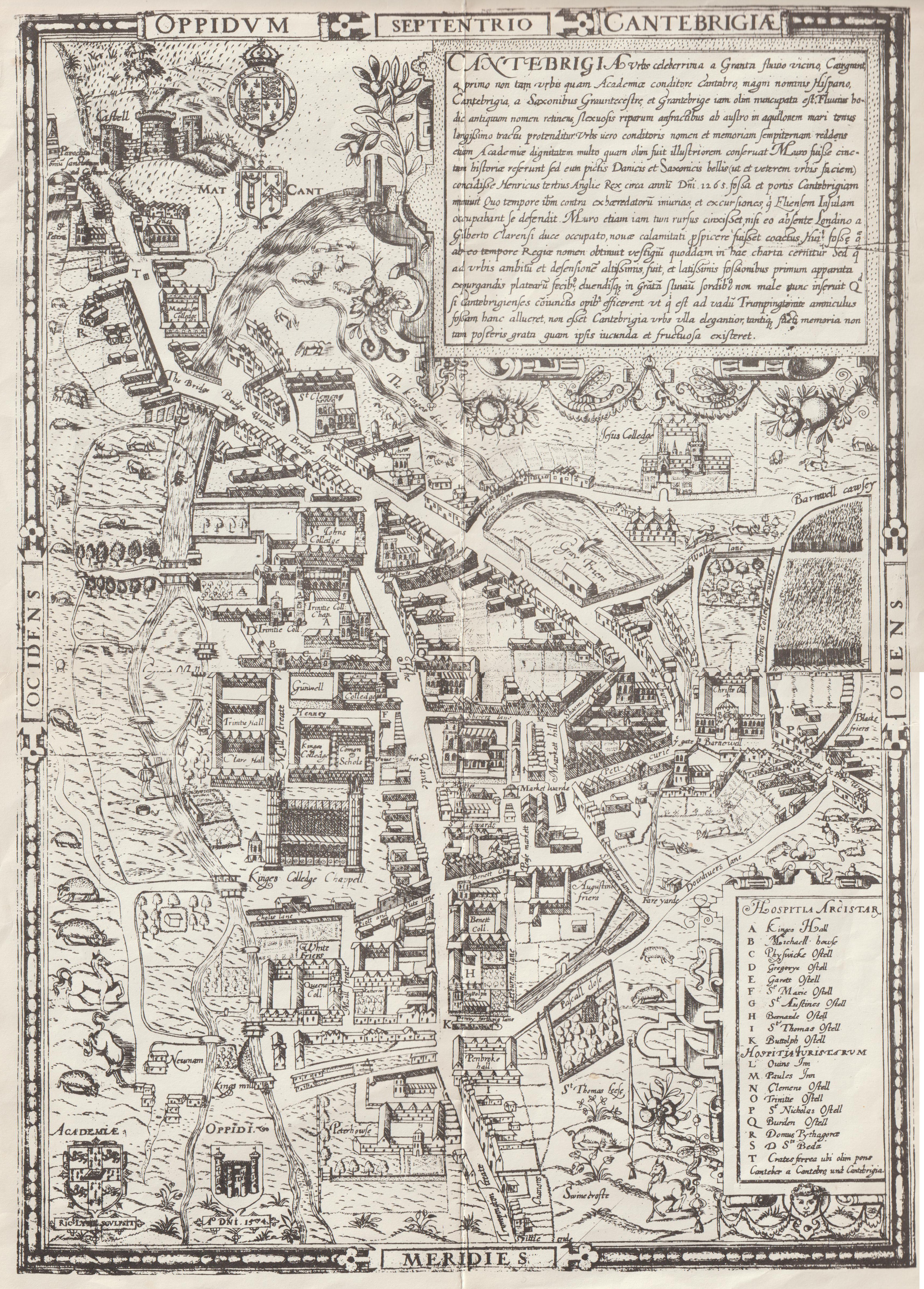
Introduction: Jesus Lane and Maids Causeway (originally called Barnwell Causeway) are old roads, on the Tudor map. Midsummer Common is old as well.

Click on photos for a larger version.
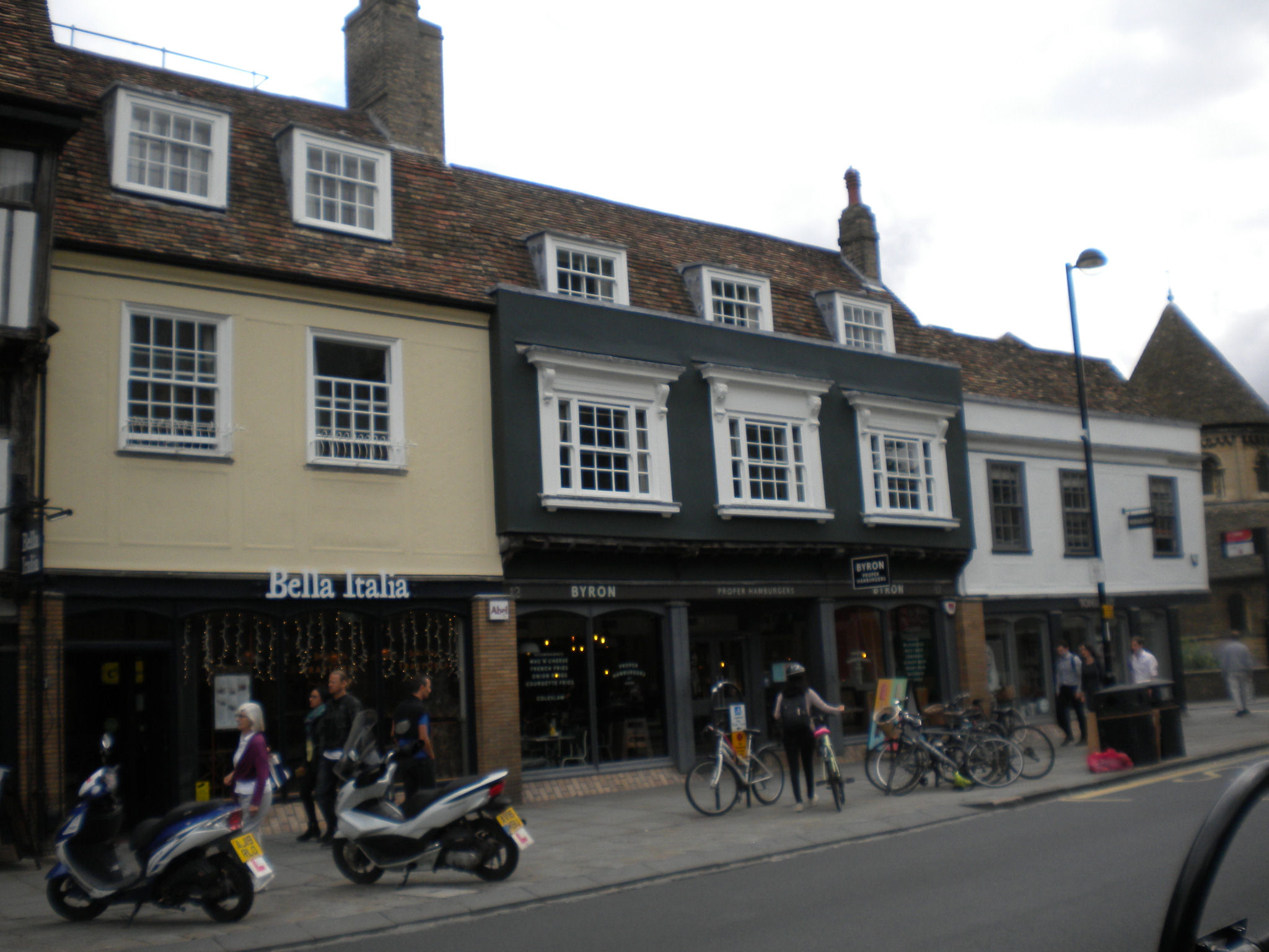
10-14 Bridge St is listed grade II. These houses are C17 and C18. No 12 is circa 1600. These houses were renovated in 1976. The pargetting (plaster work) is modern. Round the corner, in Round Church Street, the plasterer put the modern date, to show when his work was done.

From Cambridge Sculture Trails: "Richard Bray - Untitled 2017 - Carved wood - On the wall of The Cambridge School of Visual and Performing Arts, Round Church Street. This piece makes reference to the centre of Maple Three Piece in the Fellow's garden of Jesus College by the same artist which was made from three sequential cross-cuts with the softer wood removed, giving the interlocking shape. This idea is repeated here, but in a single solid piece. The fluting is intended to produce a swirling movement. It is a site specific protected location for this sculpture. Richard Bray (b 1955) is based in Cambridge, has exhibited widely and has a number of public art commissions.

The Union Society is listed grade II. It was built in 1866. The Cambridge Union is a debating society. U3AC has held lectures here. On the modern part, there is a nice quote by Douglas Adams, who wrote Hitchikers Guide to the Universe (and went to St Johns): "I may not have gone where I intended to go, but I think I have ended up where I needed to be."
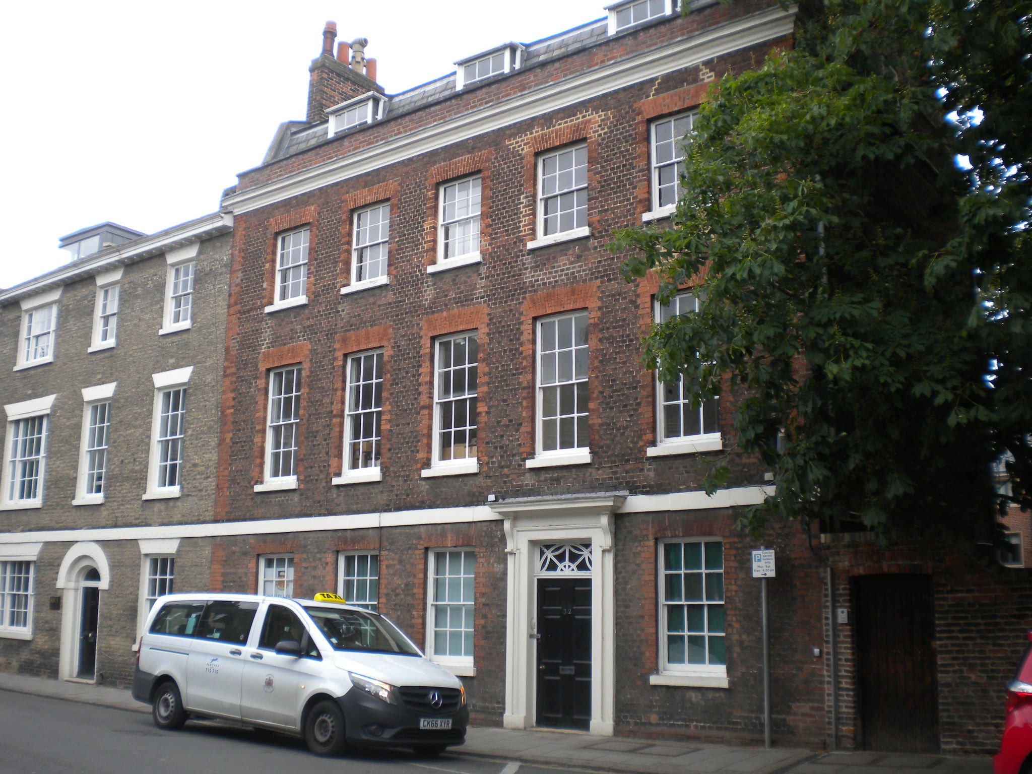
32 Jesus Lane is listed grade II. It is mid C18.


Westcott House has a charming pair of footscrapers. They are a "rebus" - punning on a name. B.K.Cunningham was Principal of Westcott 1919-1943. His name is split into two, Cunning / ham, with cunning = coney = rabbit, and ham = pork = pig!

All Saints is listed grade I. All Saints has its origins in the Church of All Saints in the Jewry, in St John's Street. By the mid-C19 the medieval church was too small for the congregation, and as it stood in the way of development of that area of the city, it was decided to move it further north to Jesus Lane. The new church opened in 1864, and the old church was demolished when St John's Street was widened in 1865, although its churchyard is preserved as an open space. (See city centre walk) All Saints is often open, and has an attractive Arts and Crafts interior. In particular, in the autumn, the Anglian Potters have an exhibition here, where you can buy nice pots and ceramics.

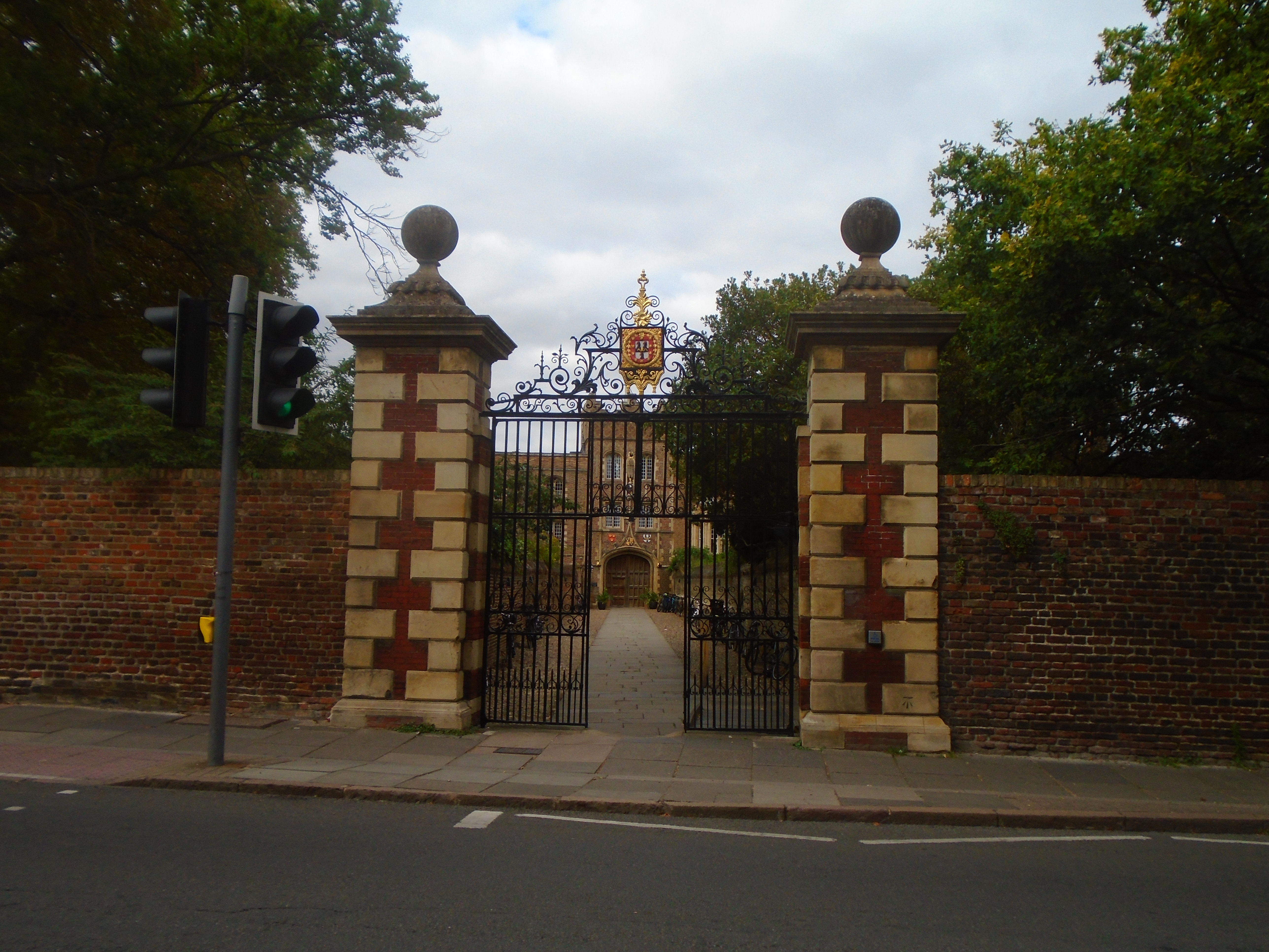
Jesus College is listed grade I. The college site used to be St Radegund's Nunnery, and their chapel is still there, dating from the C12 and C13, which makes it the oldest college building in Cambridge, older than Jesus college itself! The gatehouse is around 1500. The passageway is called the chimney (from the Middle French word cheminée, for "little path"). Both the passage and the gateway are listed grade II. The gate is 1725 and the walls C18 or earlier. The official name of Jesus College doesn't mention "Jesus". It is "The College of the Blessed Virgin Mary, Saint John the Evangelist and the glorious Virgin Saint Radegund, near Cambridge". The usual name apparently comes from its chapel, Jesus Chapel.

The houses before the roundabout are called Radegund Buildings, listed grade II. They are named after after St Radegunds Nunnery. The pub round the corner is called the Radegund, as well.

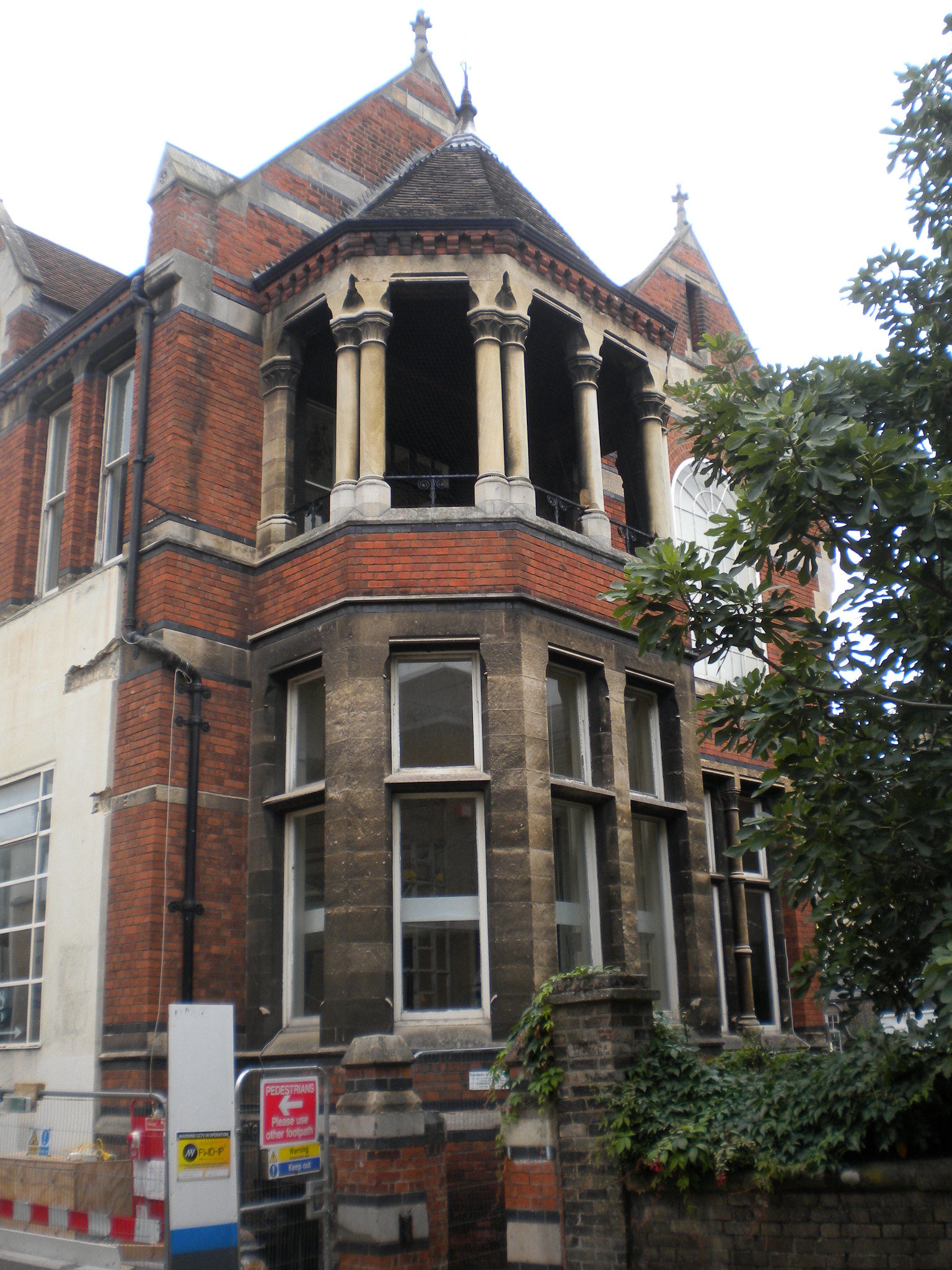
Look to your right (and behind) to see Wesley Church, listed grade II. It was built in 1913.
Most of Maids Causeway is listed. It is all built early C19. The causeway itself was originally called Barnwell Causeway (see Tudor map). The first map where I can find the name Maids Causeway is dated 1830, when this area was being built. There are several possible theories of its name (plus a frivolous one!) There was some almshouses in this road, founded in 1647, for the accommodation of "two poor widows and four poor godly, ancient maidens". Perhaps the name change to Maids Causeway when the area was rebuilt, after the inhabitants of the almshouses, since by this time the Barnwell area was less important. These almshouses fell into disrepairs, and were rebuilt in King Street. Another theory was that the country women came into Cambridge along this road (but what about the country men?) I originally thought that Maids Causeway was a reference to the "maids" of St Radegund Nunnery. The early 19C date for the name is a long time after the nunnery disappeared, but perhaps it was a piece of Victorian whimsy!
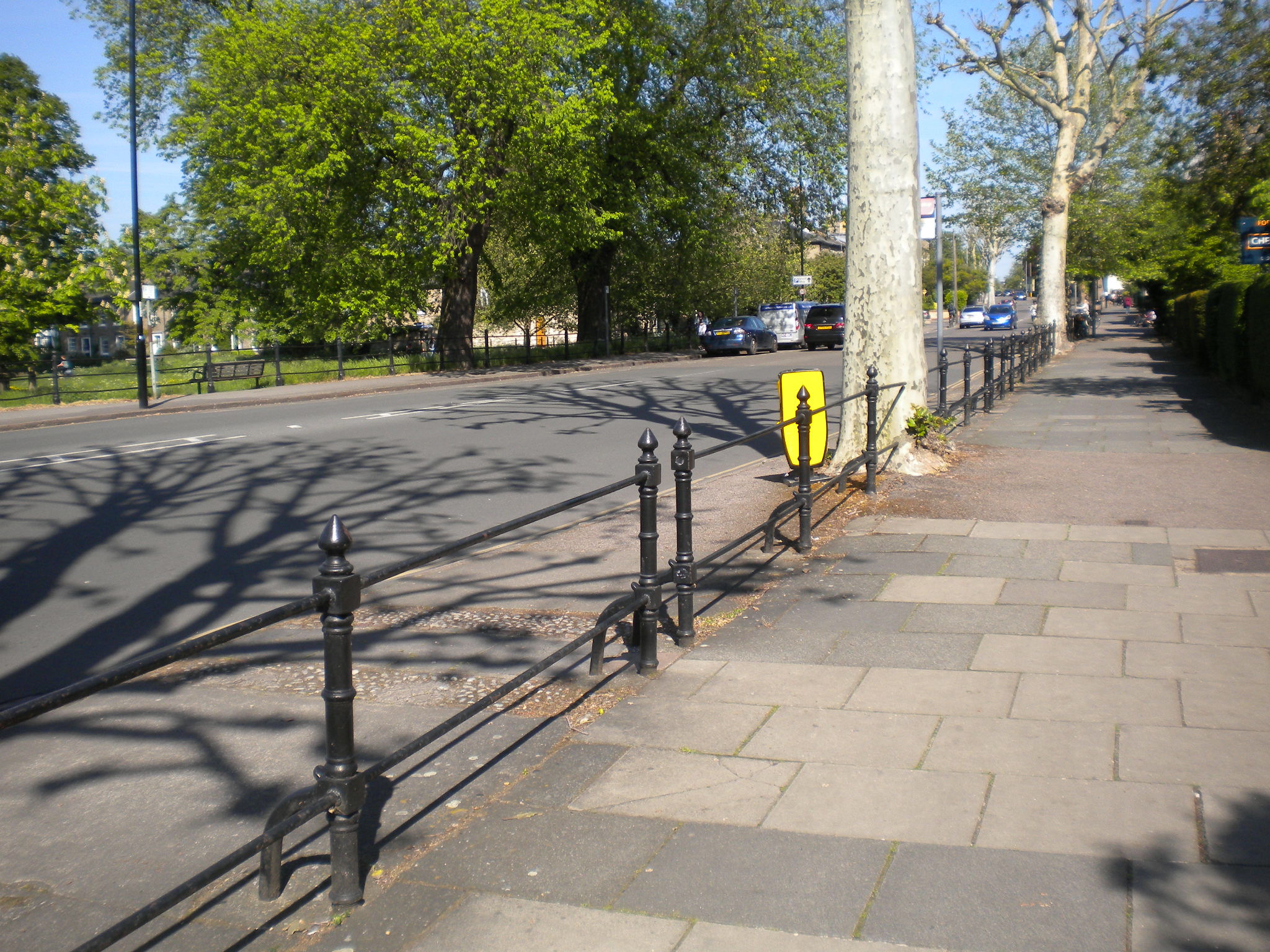

Maid's Causeway railings and footway are listed grade II. Note how the trees have grown round the railings!

Across the road is Midsummer Common. This particular part of it is called Butt Green, as they used to practise archery here. In 1351, the County of Cambridge was required to raise 100 archers for the King's passage to France (this was Edward III). Of this number the town was to furnish twenty.

Fair Street leads down to Midsummer Common. It's crowded on Bonfire Night with people coming to see the fireworks! See the parish marks on the wall. HTP means Holy Trinity Parish. Holy Trinity is the church next to Marks and Spensers. This marks the edge of its parish. There are other parish boundary marks round Cambridge.

This blue plaque commemorates Charles Humfrey, who reveloped this area after the Enclosure Act. It refers to the "Dolls Close houses. Perhaps the "Dolls" became the Maids of Maids Causeway!
This grand house used to be the parsonage of At Andrew the Less, the church on Newmarket Road. The road next door is called Parsonage Street.

Christ Church is listed grade II. It was built in 1839. It is orientated south / north, rather than the usual east / west. Apparently the porch was built to keep out the bitter Cambridge north wind, but at that time, the porch was in a different parish to the church! There is now a modern porch, and parish boundaries have been altered considerably as churches become disused.
There used to be a red light district round Napier Street (by Christ Church), so some wag renamed Maids Causeway as Coarse Maids Way! (This is the frivolous suggestion for the name.)

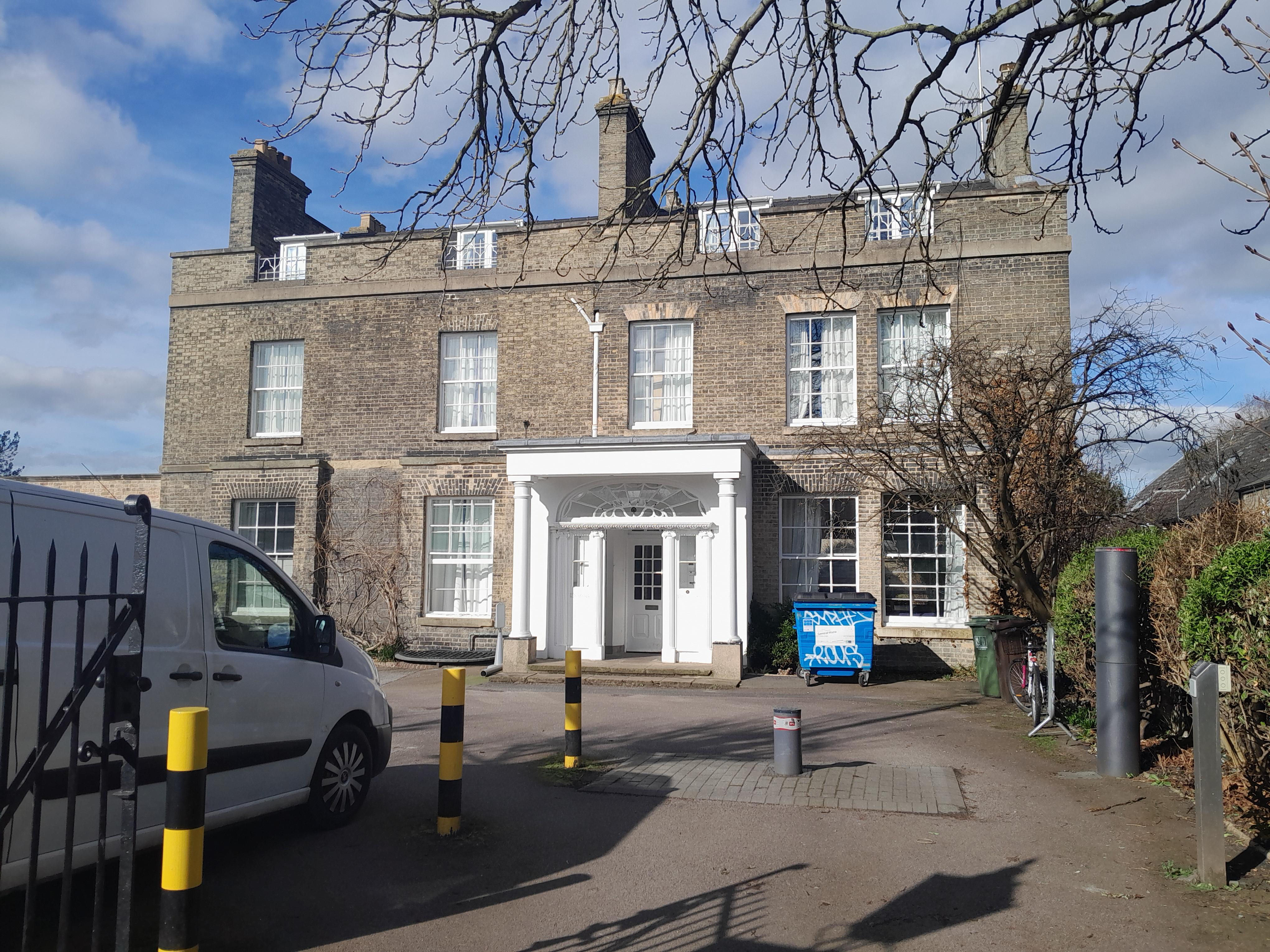
Opposite Christchurch, set back from the road is Burleigh House. This used to belong to James Burleigh, a local land owner, commemorated in both Burleigh Street and James Street. He followed the remunerative calling of a carrier and, during the stirring times of the Napoleonic menace, was accorded public thanks for his patriotic offer of sixty horses and eight waggons for general service in the event of an invasion.
Later, around 1822, James P Twiss moved his brewery in Rose Crescent to this site. At the Coronation Feats of 1838 on Parker’s Piece, the Star Brewery provided six barrels of beer./P>

The Buddhist centre was originally the Theatre Royal, built in 1816. It was built here because of theatres were prohibited in the town centre. The interior is a virtually complete example of a Georgian theatre with a three-tiered horsehoe auditorium with the galleries supported on cast iron columns. You can sometimes see it during Open Cambridge. It is listed grade II*.
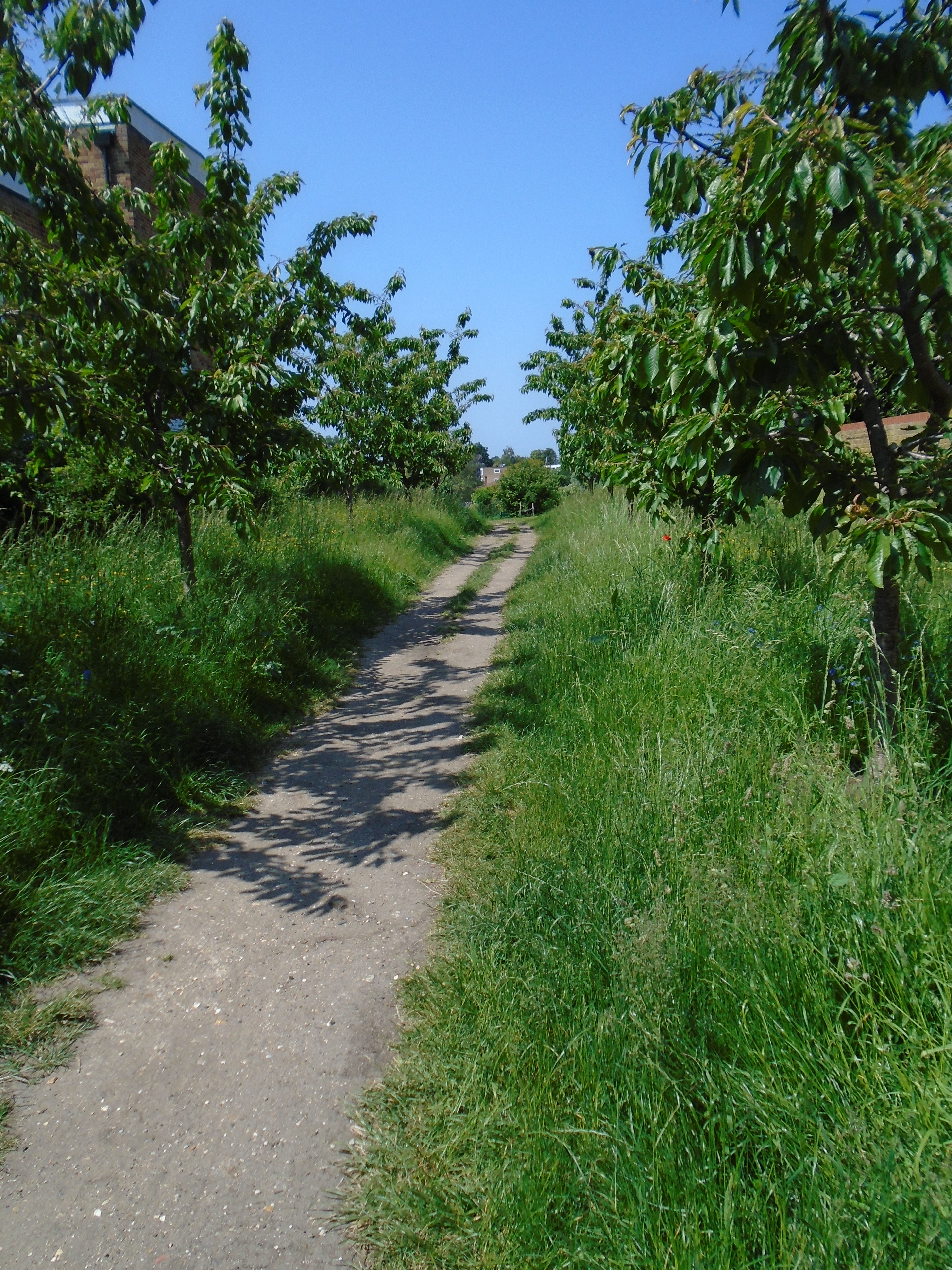

Opposite the Buddhist centre is the entrance to the Midsummer Community Orchard. This is open to anyone, with seats to sit amid the fruit trees. You can walk through the orchard to get to Midsummer Common (although there are steps down to the common).
By now, this is part of Newmarket Road, even though it is this side of the Elizabeth Way roundabout. The part set back is Sun Street. The area between (now a car park), used to be part of Midsummer Fair, selling wood and wood products.


This modern developement has several artworks. The first, at the start of Kingsley Walk is the Barnwell Sentence. The Barnwell Sentence is by Lucy Skaer, dated 2014. It is made of Atlantic lava and Belgium fossil stone, glass bronze and brass. This says "the history and heritage of this site: prehistoric archaeology (here a life-sized whale skeleton similar to that lovingly serving the entrance to Cambridge's Museum of Zoology), Strawberry Fair on neighbouring Midsummer Common, and a blazer and the crest of Brunswick Junior School" and "imprints made from a domestic chair". Brunswick Junior School used to be on this site.

The "sentence" continues on the pavement, on the right side of the road.


A bit further, look along a path to your right, and you will see a bronze chair (as opposed to the 2D images). Turn down this path to look at it, but also notice the blocks set into the pavement. These are "carp fish from the monks ponds of the 11th century Barnwell Prior nearby, swimming in the paving, frozen in time as bronze sculptures set in clear resin and glass". Regretably the "clear" resin isn't, any more. Apparently you're allowed to sit on the chair.


Walk down Kingsley Walk (see above) into a new developement. Carry on walking in a straight line (the road turns into a path) and you will find the aptly named Playful Seating, by James Hopkins, dated 2014. The two chairs are distorted, but their reflections in the central mirror look OK. The second photo shows the back, and how the artwork in set in a set of concentric circles. "Solid cast bronze benches designed through catoptric anamorphosis are placed around a mirror finished stainless steel cylinder. The mirror transforms the distorted benches into the perfect image of two domestic / school chairs. The surrounding amphitheatre completes the artwork as a playful space for residents and visitors that references the sites history as a school since the 19th century." (from a website which has disappeared!)
Behind this, the path leads to a gate to Midsummer Common.
Midsummer fair is held on Midsummer Common (at midsummer, naturally). It has a charter dating back to King John. I assume that the common is named after the fair.

If you look at a map of Cambridge, you can see a lot of grass next to the River Cam. These are really water meadows, which can flood if there is too much water in the river. The floods were not very deep, but since the commons and other riverside greeen areas are so big, they can sop up a lot of water. This means that they not only stop houses in Cambridge flooding, they remove flood water from the river to help the situation downstream. The photo shows a flood in 2001.

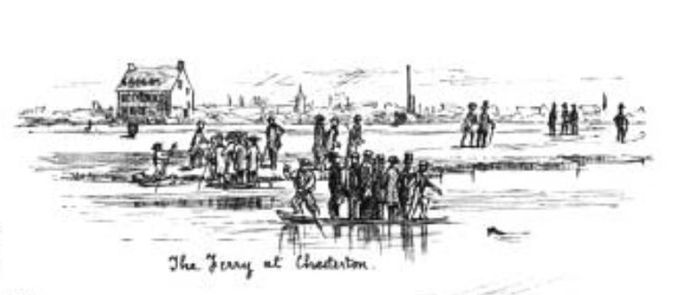
Ahead is the Cutter Ferry bridge, a foot and cycle bridge. This is a new bridge, built in 2005. It is 30m long and weighs approximately 20 tonnes. The original footbridge was closed in 2003 after over 75 years of service. It replaced a ferry across the river, as did many of the footbridges. There is a path on the north bank called Cutter Ferry Path. Most of the footbridges have paths by them, which originally led to the ferry, although these now are often used by boat houses. The cartoon is from "A Cambridge Scrap-book" by John Lewis Roget (1859).
")
Across the common, you can see a toilet block, next to Victoria Avenue, built in 2005. This toilet incorporates rain water harvesting for flushing WC's. Its local nickname is the Armadilloo!


Most of the boat houses are along the north bank of this part of the river. The colleges of Cambridge University have several boat crews each, racing twice a year in the Bumps. In this type of race, all the boats set off in order, with a few yards between each boat. Each tries to bump the boat in front. If successful, the next day, they will start in front. The diagram comes from a newspaper showing what has happened so far in the Bumps. This slightly odd type of race is necessary because the river is so narrow, so boats can't race side by side. There are Town boat clubs as well, some connected with local pubs, and Town Bumps races.

Fort St George is grade II. It dates from C16.
The walk ends here. You can get back to Quayside either along the river, or cross Midsummer Common to reach Victoria Avenue, then into Jesus Green, and along Jesus ditch. If you want to get to the bus station, or the city centre, walk up Victoria Avenue.
© Jo Edkins 2025 - Return to Walks index